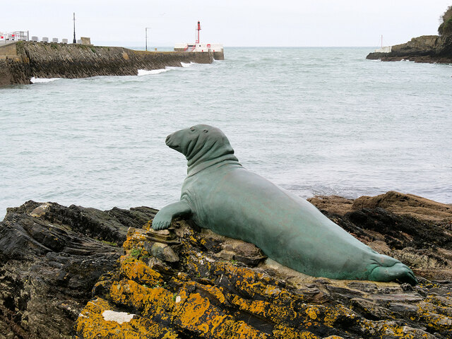
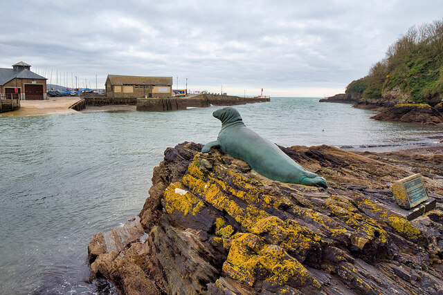
Black Rock

Island in Cornwall

England

Black Rock

Old Bridge Marker on Quay Road, West Looe Bridge Marker on Quay Road, West Looe, in the east facing retaining wall of a walkway below the Old Bridge House. Looe parish. Near the west end of old Looe Bridge opened 1436 and pulled down in 1853. There is a similar stone in East Looe in the east facing wall of a car park opposite the Co-op in Fore.

Milestone Society National ID: CW_LOOE01br
Old Bridge Marker on Quay Road, West Looe Credit: T Jenkinson

The requested URL returned error: 429 Too Many Requests

If you have any feedback on the listing, please let us know in the comments section below.
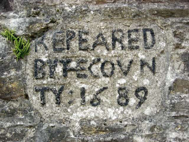
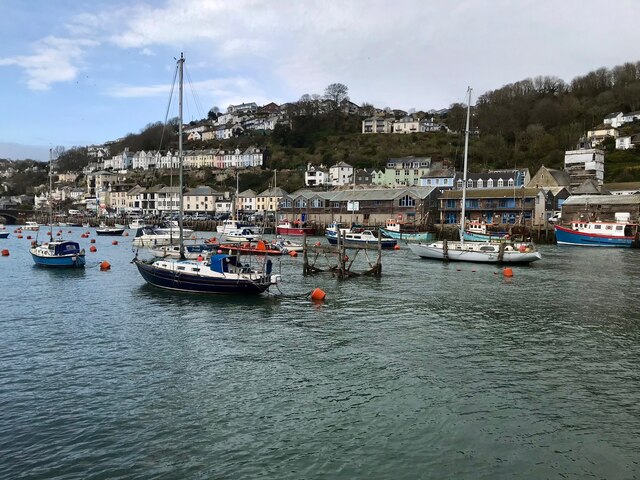
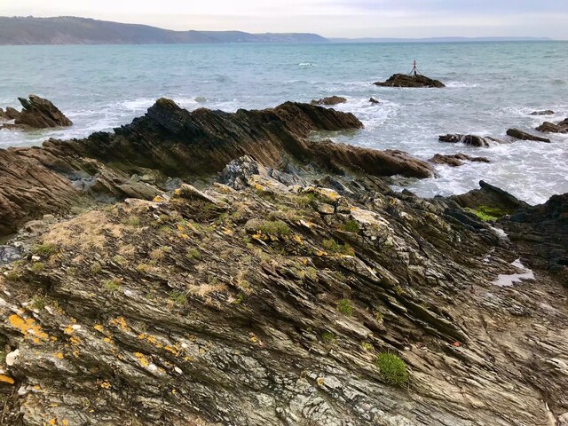
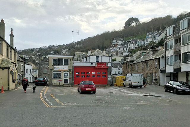
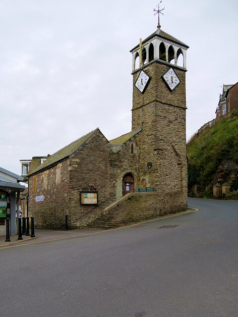
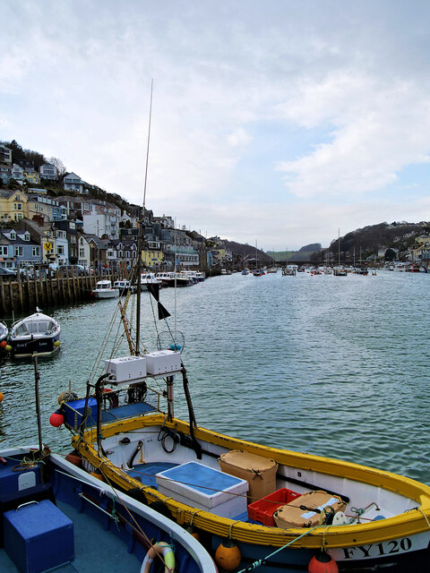
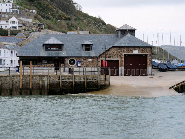
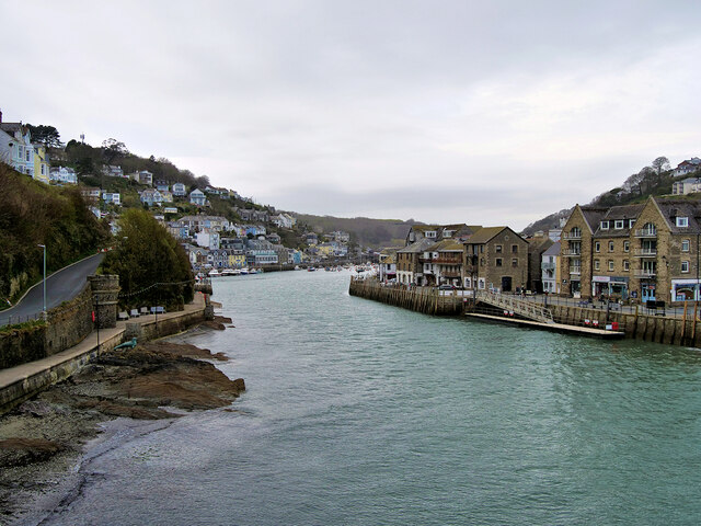
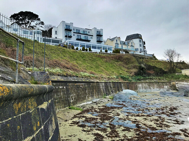
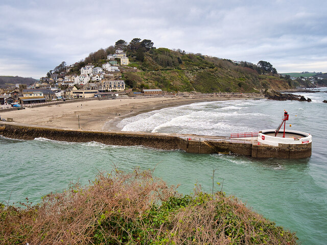
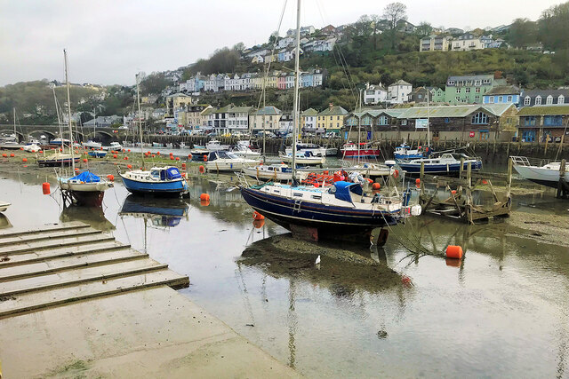
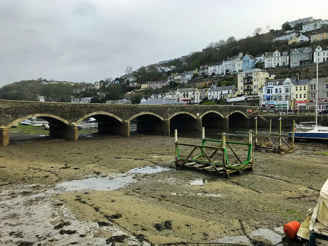
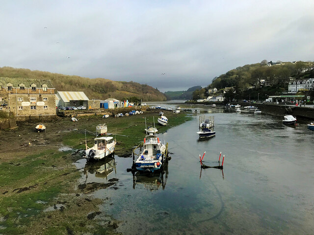
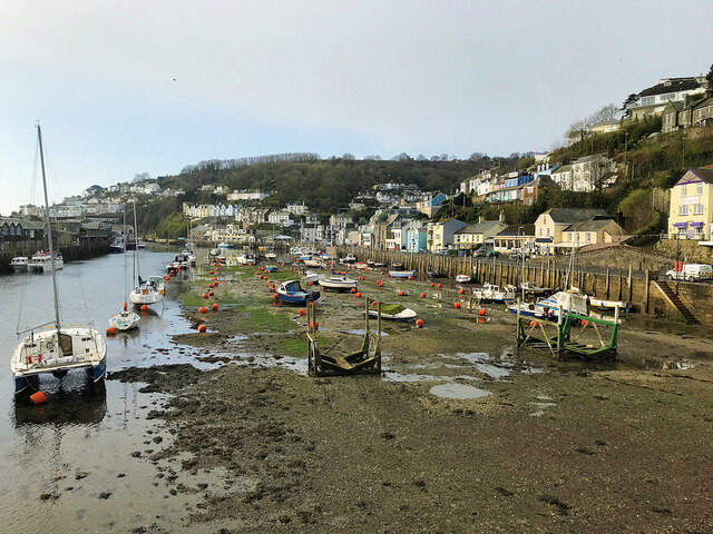
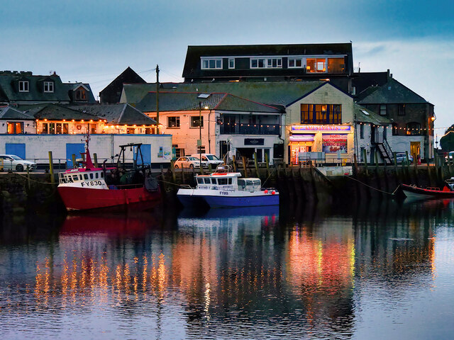
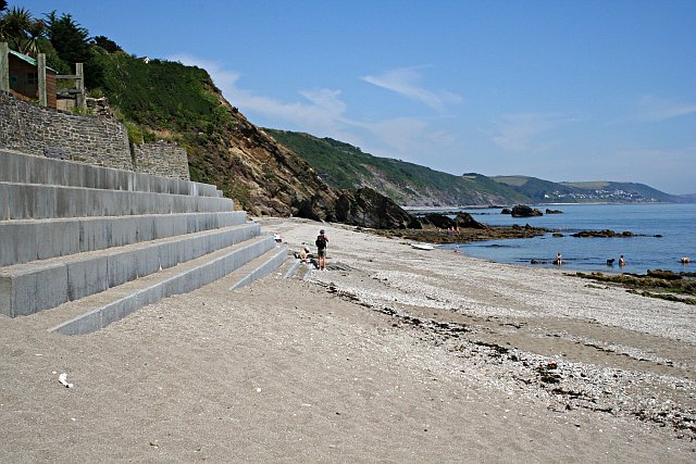
Black Rock Images

Images are sourced within 2km of 50.35968/-4.4344637 or Grid Reference SX2653. Thanks to Geograph Open Source API. All images are credited.

Old Bridge Marker on Quay Road, West Looe Bridge Marker on Quay Road, West Looe, in the east facing retaining wall of a walkway below the Old Bridge House. Looe parish. Near the west end of old Looe Bridge opened 1436 and pulled down in 1853. There is a similar stone in East Looe in the east facing wall of a car park opposite the Co-op in Fore.

Milestone Society National ID: CW_LOOE01br
Old Bridge Marker on Quay Road, West Looe
Bridge Marker on Quay Road, West Looe, in the east facing retaining wall of a walkway below the Old Bridge House. Looe parish. Near the west end of old Looe Bridge opened 1436 and pulled down in 1853. There is a similar stone in East Looe in the east facing wall of a car park opposite the Co-op in Fore. Milestone Society National ID: CW_LOOE01br
Looe Harbour
Looe Harbour
Coastal Rocks at Hannafore
Community Fire Station, West Looe Square
The Church of St Nicholas, Hannafore Road Built in the twelfth or thirteenth century, restored in the mid-nineteenth century. Originally a Parish Church, later used as a guildhall, borough prison and then a school. Grade II* listed building (List Entry Number: 1201132 <span class="nowrap"><a title="https://historicengland.org.uk/listing/the-list/list-entry/1201132?section=official-list-entry" rel="nofollow ugc noopener" href="https://historicengland.org.uk/listing/the-list/list-entry/1201132?section=official-list-entry">Link</a><img style="margin-left:2px;" alt="External link" title="External link - shift click to open in new window" src="https://s1.geograph.org.uk/img/external.png" width="10" height="10"/></span>  Historic England).
The Church of St Nicholas, Hannafore Road
Built in the twelfth or thirteenth century, restored in the mid-nineteenth century. Originally a Parish Church, later used as a guildhall, borough prison and then a school. Grade II* listed building (List Entry Number: 1201132 LinkExternal link Historic England).
Looe Harbour
Looe Harbour
Nelson the One-eyed Seal, Looe Harbour From a plaque nearby:
“A distinctive ‘one-eyed’ scarred bull Grey Seal (Halichoerus Grypus) who was a familiar sight in the harbours of South Cornwall for over 25 years. Eventually he settled on the rocks of Looe Island as his home and then made Looe Harbour his dining room where he was fed and his company enjoyed by local fishermen, townsfolk and countless visitors.”

His statue was unveiled on 28 May 2008.
Nelson the One-eyed Seal, Looe Harbour
From a plaque nearby: “A distinctive ‘one-eyed’ scarred bull Grey Seal (Halichoerus Grypus) who was a familiar sight in the harbours of South Cornwall for over 25 years. Eventually he settled on the rocks of Looe Island as his home and then made Looe Harbour his dining room where he was fed and his company enjoyed by local fishermen, townsfolk and countless visitors.” His statue was unveiled on 28 May 2008.
RNLI Looe Lifeboat Station The first lifeboat station at Looe was erected in 1866. The RNLI withdrew services from Looe in 1930 on the grounds that the lifeboats of Fowey and Plymouth could cover the area. In 1991, the RNLI stationed a lifeboat at Looe for the summer season and three years later the Spirit of the ROAC was housed in a temporary lifeboat house, provided by the East Looe Town Trust. A new lifeboat station was built on the old Albatross warehouse site on the quay in 2002.
RNLI Looe Lifeboat Station
The first lifeboat station at Looe was erected in 1866. The RNLI withdrew services from Looe in 1930 on the grounds that the lifeboats of Fowey and Plymouth could cover the area. In 1991, the RNLI stationed a lifeboat at Looe for the summer season and three years later the Spirit of the ROAC was housed in a temporary lifeboat house, provided by the East Looe Town Trust. A new lifeboat station was built on the old Albatross warehouse site on the quay in 2002.
Entrance to Looe Harbour
Hannafore Hotel and Beach
East Looe Beach and Pier Viewed from Hannafore Road.
East Looe Beach and Pier
Viewed from Hannafore Road.
Looe Harbour, Nelson From a plaque nearby:
“A distinctive ‘one-eyed’ scarred bull Grey Seal (Halichoerus Grypus) who was a familiar sight in the harbours of South Cornwall for over 25 years. Eventually he settled on the rocks of Looe Island as his home and then made Looe Harbour his dining room where he was fed and his company enjoyed by local fishermen, townsfolk and countless visitors.”

His statue was unveiled on 28 May 2008.
Looe Harbour, Nelson
From a plaque nearby: “A distinctive ‘one-eyed’ scarred bull Grey Seal (Halichoerus Grypus) who was a familiar sight in the harbours of South Cornwall for over 25 years. Eventually he settled on the rocks of Looe Island as his home and then made Looe Harbour his dining room where he was fed and his company enjoyed by local fishermen, townsfolk and countless visitors.” His statue was unveiled on 28 May 2008.
Looe Harbour at Low Tide
Looe Bridge The arched road bridge over the river was erected in 1853,  replacing a narrow medieval bridge. It is a Grade II listed building (List entry number 1201093 <span class="nowrap"><a title="https://historicengland.org.uk/listing/the-list/list-entry/1201093?section=official-list-entry" rel="nofollow ugc noopener" href="https://historicengland.org.uk/listing/the-list/list-entry/1201093?section=official-list-entry">Link</a><img style="margin-left:2px;" alt="External link" title="External link - shift click to open in new window" src="https://s1.geograph.org.uk/img/external.png" width="10" height="10"/></span> Historic England).
Looe Bridge
The arched road bridge over the river was erected in 1853, replacing a narrow medieval bridge. It is a Grade II listed building (List entry number 1201093 LinkExternal link Historic England).
River East Looe View upstream from Looe Bridge.
River East Looe
View upstream from Looe Bridge.
Looe Harbour at Low Tide View downstream from Looe Bridge.
Looe Harbour at Low Tide
View downstream from Looe Bridge.
Looe Harbour East Quay
Looe Harbour at Night
Show me another place!

Black Rock is located at Grid Ref: SX2653 (Lat: 50.35968, Lng: -4.4344637)

Unitary Authority: Cornwall

Police Authority: Devon and Cornwall

What 3 Words

///lamps.until.thundered. Near Looe, Cornwall

Related Wikis

Millendreath

Millendreath is a hamlet in the parish of Looe, Cornwall, England, situated two miles east of the town of Looe.A station was to be built at Millendreath...

Plaidy, Cornwall

Plaidy is an eastern suburb of Looe, Cornwall, England, UK. Plaidy Beach is a sandy beach and Millendreath Beach is at its eastern end. The writer Eleanor...

Looe Community Academy

Looe Community Academy (formerly Looe Community School) is a mixed secondary school located in East Looe in the English county of Cornwall.Previously a...

St Martin-by-Looe

St Martin-by-Looe (Cornish: Penndrumm) is a coastal civil parish in south Cornwall, England, United Kingdom. The parish is immediately east of the town...

Nearby Amenities

Located within 500m of 50.35968,-4.4344637
Source: PGS
Lat/Long: 50.3589366/-4.4409817
Source: PGS
Lat/Long: 50.3591952/-4.4402661
Source: PGS
Lat/Long: 50.359722/-4.4384248
Source: PGS
Lat/Long: 50.359681/-4.4381244
Source: PGS
Lat/Long: 50.3605055/-4.4372607
Source: PGS
Lat/Long: 50.3609703/-4.4366816
Source: PGS
Lat/Long: 50.3610723/-4.4363859
Source: PGS
Lat/Long: 50.361097/-4.4362082
Source: PGS
Lat/Long: 50.3608582/-4.4340045
Source: PGS
Lat/Long: 50.3608308/-4.432245
Addr City: Looe
Addr Housename: The Lindhay
Addr Postcode: PL13 1LF
Addr Street: Plaidy Park Road
Lat/Long: 50.3599387/-4.4404415
Barrier: bollard
Bicycle: yes
Bollard: removable
Foot: yes
Lat/Long: 50.3613857/-4.4357701
Millendreath
Place: locality
Wikidata: Q15058901
Lat/Long: 50.3618041/-4.4363952
Generator Method: photovoltaic
Generator Output Electricity: yes
Generator Source: solar
Generator Type: solar_photovoltaic_panel
Location: roof
Power: generator
Lat/Long: 50.3602741/-4.4385046
Post Box
Brand: Royal Mail
Brand Wikidata: Q638098
Brand Wikipedia: en:Royal Mail
Collection Times: Mo-Sa 11:30
Operator: Royal Mail
Operator Wikidata: Q638098
Post Box Mounting: rendered_pillar
Post Box Type: wall
Ref: PL13 88
Royal Cypher: GR
Royal Cypher Wikidata: Q33102273
Lat/Long: 50.3591555/-4.4411083
Toilets
Lat/Long: 50.3614334/-4.4367214
Waste Basket
Survey Date: 2022-10-26
Lat/Long: 50.3590783/-4.4413011
Fire Hydrant
Emergency: fire_hydrant
Fire Hydrant Type: underground
Survey Date: 2022-10-26
Lat/Long: 50.3604849/-4.4386595
Waste Basket
Survey Date: 2022-10-26
Lat/Long: 50.3613554/-4.4355609
Post Box
Collection Times: Mo-Fr 15:30; Sa 09:00
Post Box Mounting: pier
Post Box Type: lamp
Ref: PL13 104
Royal Cypher: EIIR
Royal Cypher Wikidata: Q33102113
Survey Date: 2022-10-26
Lat/Long: 50.3615713/-4.4356649
Fire Hydrant
Emergency: fire_hydrant
Fire Hydrant Type: underground
Survey Date: 2022-10-26
Lat/Long: 50.3603455/-4.4395443
Defibrillator
Emergency: defibrillator
Indoor: no
Survey Date: 2022-10-26
Lat/Long: 50.3613891/-4.4359225
Defibrillator
Defibrillator Location: On outside wall of garage on Plaidy Lane near house called Trelawne
Emergency: defibrillator
Indoor: no
Survey Date: 2022-10-26
Lat/Long: 50.3597979/-4.4402012
Waste Basket
Survey Date: 2022-10-26
Lat/Long: 50.3613599/-4.4355905
Fire Hydrant
Emergency: fire_hydrant
Fire Hydrant Type: underground
Survey Date: 2022-10-26
Lat/Long: 50.3611526/-4.4382477
Fire Hydrant
Emergency: fire_hydrant
Fire Hydrant Type: underground
Survey Date: 2022-10-26
Lat/Long: 50.3613576/-4.4393836
Leisure: picnic_table
Survey Date: 2022-10-26
Lat/Long: 50.3614028/-4.4361573
Bench
Survey Date: 2022-10-26
Lat/Long: 50.3616662/-4.4365683
Leisure: picnic_table
Survey Date: 2022-10-26
Lat/Long: 50.361438/-4.4361597
Leisure: picnic_table
Survey Date: 2022-10-26
Lat/Long: 50.3614771/-4.4361638
Leisure: picnic_table
Survey Date: 2022-10-26
Lat/Long: 50.3615104/-4.436169
Bench
Survey Date: 2022-10-26
Lat/Long: 50.3616316/-4.4365655
Fire Hydrant
Emergency: fire_hydrant
Fire Hydrant Type: underground
Survey Date: 2022-10-26
Lat/Long: 50.360446/-4.4399985
Fire Hydrant
Emergency: fire_hydrant
Fire Hydrant Type: underground
Survey Date: 2022-10-26
Lat/Long: 50.3600498/-4.4406472
The data included in this document is from www.openstreetmap.org. The data is made available under ODbL.

Have you been to Black Rock?

Leave your review of Black Rock below (or comments, questions and feedback).