Black Rock

Island in Cornwall

England

Black Rock

Sandymouth Holiday Resort
Sandymouth Holiday Resort Credit: Charli

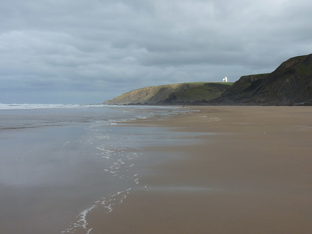
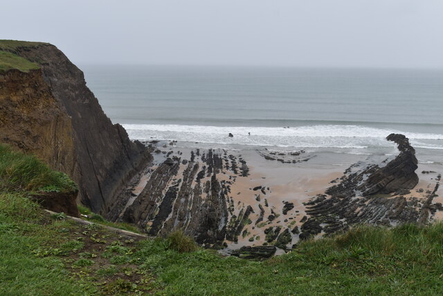
Black Rock is a small island located off the coast of Cornwall, England. Situated in the Celtic Sea, it is approximately 1.5 miles southeast of the town of Portreath. The island covers an area of around 8 acres and has a maximum elevation of 135 feet above sea level.

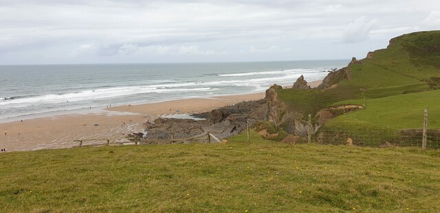
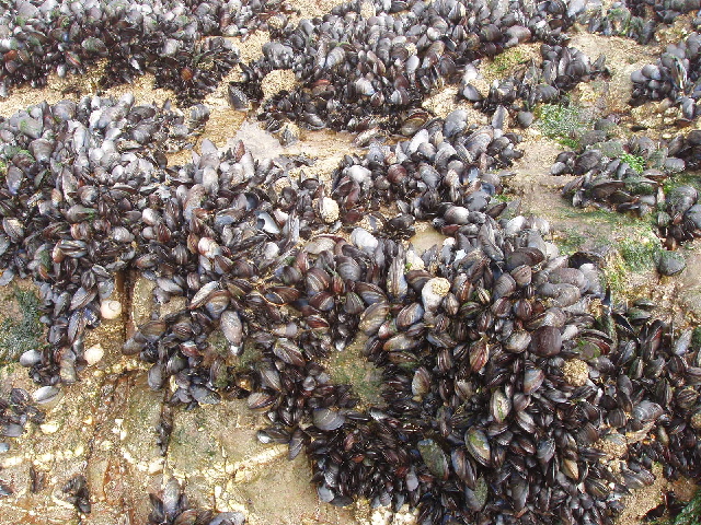
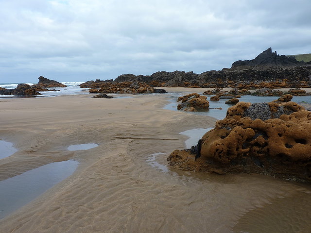
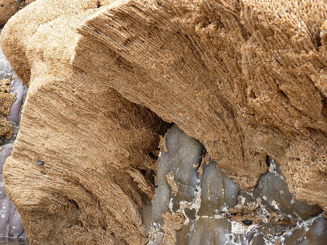
Black Rock is known for its rugged beauty and dramatic cliffs that surround its perimeter. The island is predominantly composed of granite, which gives it a distinctive dark appearance, hence its name. The cliffs are home to a variety of seabirds, including kittiwakes, fulmars, and guillemots, making it a popular spot for birdwatching enthusiasts.

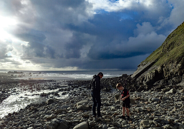
Access to Black Rock is limited due to its remote location and treacherous waters. However, during low tide, it is possible to reach the island on foot by crossing a rocky causeway. Visitors are advised to check the tide times and exercise caution when attempting the crossing, as the causeway can become submerged at high tide.

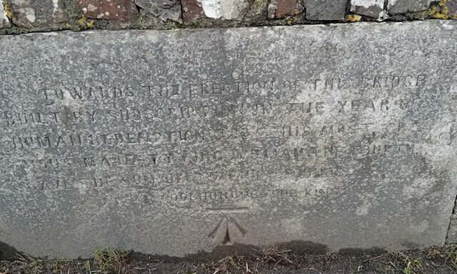
In addition to its natural beauty, Black Rock is also steeped in history. It is believed to have been inhabited since prehistoric times, with evidence of Bronze Age settlements found on the island. The ruins of a small chapel dedicated to St. Helen can also be found, dating back to the 13th century.

Overall, Black Rock offers a unique and captivating experience for nature lovers and history enthusiasts alike. Its picturesque cliffs, diverse wildlife, and historical significance make it a must-visit destination for those exploring the Cornwall coastline.

If you have any feedback on the listing, please let us know in the comments section below.
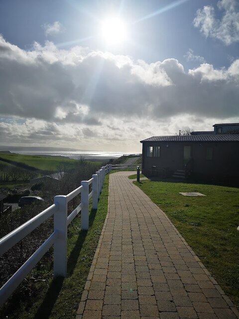
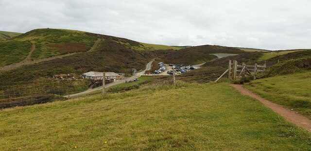
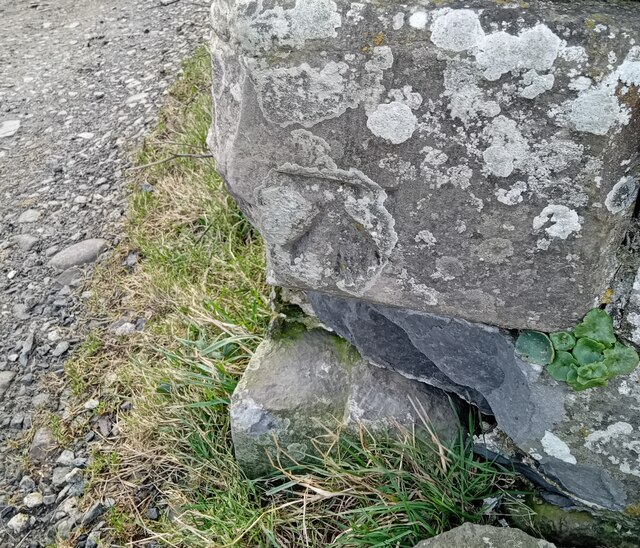
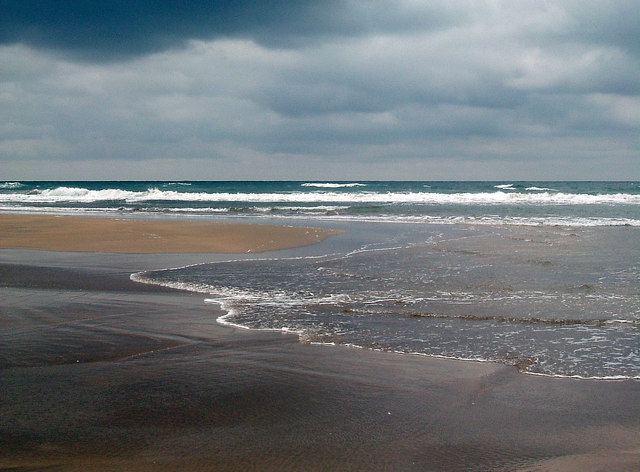
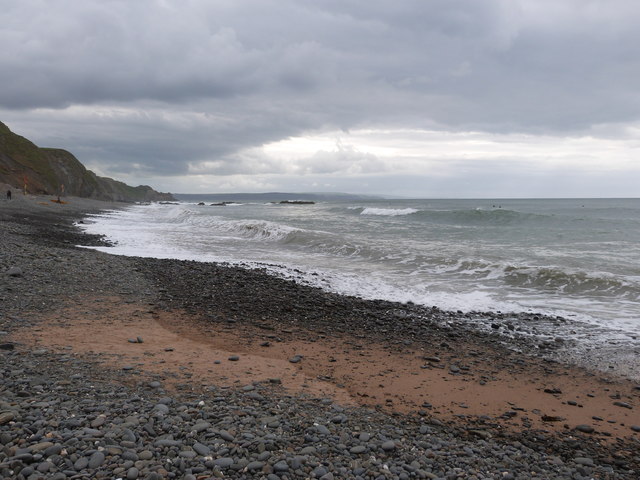
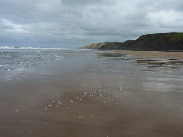
Black Rock Images

Images are sourced within 2km of 50.861193/-4.5579339 or Grid Reference SS2009. Thanks to Geograph Open Source API. All images are credited.

Sandymouth Holiday Resort
Car Park at Sandy Mouth Viewed from up on the hills, looking down onto the car park at Sandy Mouth.
Car Park at Sandy Mouth
Viewed from up on the hills, looking down onto the car park at Sandy Mouth.
Sandy Mouth Beach The beach at Sandy Mouth from the cliff.
Sandy Mouth Beach
The beach at Sandy Mouth from the cliff.
Ordnance Survey Cut Mark This OS cut mark can be found on the roadside barn at Stowe Barton. It marks a point 102.376m above mean sea level.
Ordnance Survey Cut Mark
This OS cut mark can be found on the roadside barn at Stowe Barton. It marks a point 102.376m above mean sea level.
Ordnance Survey Cut Mark This OS cut mark can be found on the west parapet of King William's Bridge. It marks a point 21.199m above mean sea level.
Ordnance Survey Cut Mark
This OS cut mark can be found on the west parapet of King William's Bridge. It marks a point 21.199m above mean sea level.
Low tide at Northcott Mouth The tide has turned and is starting to come in.
Low tide at Northcott Mouth
The tide has turned and is starting to come in.
Sandy Mouth on a misty day This is a strip of sand below cliffs. Much of the country was basking in sunshine, but this part of the North Cornish coast was misty - it cleared in the afternoon.
Sandy Mouth on a misty day
This is a strip of sand below cliffs. Much of the country was basking in sunshine, but this part of the North Cornish coast was misty - it cleared in the afternoon.
Shipwreck remains at Menachurch Point Walking down the beach in the mist we suddenly came across these rusting iron remains of a ship. As we walked on we saw the prop shaft, then the boiler, laid out along the sand.
Shipwreck remains at Menachurch Point
Walking down the beach in the mist we suddenly came across these rusting iron remains of a ship. As we walked on we saw the prop shaft, then the boiler, laid out along the sand.
Boiler and propeller shaft of wreck, Menachurch Point This wreck can be seen at very low tides - this was spring tide of a new moon in April. We bought a tide table from the Inn on the Green pub the night before to make sure we would be able to walk from Sandy Mouth to Bude on the beach. Pity about the mist!
Boiler and propeller shaft of wreck, Menachurch Point
This wreck can be seen at very low tides - this was spring tide of a new moon in April. We bought a tide table from the Inn on the Green pub the night before to make sure we would be able to walk from Sandy Mouth to Bude on the beach. Pity about the mist!
Mussels near Menachurch Point On rocks at low tide.
Mussels near Menachurch Point
On rocks at low tide.
Low tide at Sandy Mouth Low tide was at 14.46 on this day; the picture being taken just two minutes before this time. Ahead stretches the Atlantic Ocean.
Low tide at Sandy Mouth
Low tide was at 14.46 on this day; the picture being taken just two minutes before this time. Ahead stretches the Atlantic Ocean.
Heavy sky at Sandymouth Bay, near Bude, Cornwall
Beach at Sandy Mouth Bay Looking more or less north along the beach at relatively low tide, towards one of the radio dishes of the GCHQ Satellite Station at Morwenstow.
Beach at Sandy Mouth Bay
Looking more or less north along the beach at relatively low tide, towards one of the radio dishes of the GCHQ Satellite Station at Morwenstow.
Warren Long Beach The map assigns names to several stretches of sand along here, of which we are approaching Warren Long Beach a little way north of Sandy Mouth Bay.
Warren Long Beach
The map assigns names to several stretches of sand along here, of which we are approaching Warren Long Beach a little way north of Sandy Mouth Bay.
On Warren Little Beach These colonies of honeycomb worms (Sabellaria alveolata) decorate the tidal rocks along a stretch of the coast here.
On Warren Little Beach
These colonies of honeycomb worms (Sabellaria alveolata) decorate the tidal rocks along a stretch of the coast here.
Internal structure of a honeycomb  worm colony One of many colonies on the rocks here; this one's suffered a little at the hands of a storm which has broken a large chunk off, exposing the interior. Each tube contains a single worm of the species Sabellaria alveolata, and is roughly 10-12" long. The worm settles into the colony after 5 or 6 weeks as a drifting larva, and then spends the rest of its life filter-feeding from the upper end of the tube (and presumably extending it to solidify the colony)
Internal structure of a honeycomb worm colony
One of many colonies on the rocks here; this one's suffered a little at the hands of a storm which has broken a large chunk off, exposing the interior. Each tube contains a single worm of the species Sabellaria alveolata, and is roughly 10-12" long. The worm settles into the colony after 5 or 6 weeks as a drifting larva, and then spends the rest of its life filter-feeding from the upper end of the tube (and presumably extending it to solidify the colony)
Duckpool beach in Winter With the stream from Duckpool Combe.
Duckpool beach in Winter
With the stream from Duckpool Combe.
Northcott Mouth Beach
Show me another place!

Black Rock is located at Grid Ref: SS2009 (Lat: 50.861193, Lng: -4.5579339)

Unitary Authority: Cornwall

Police Authority: Devon and Cornwall

What 3 Words

///chambers.discloses.harp. Near Flexbury, Cornwall

Related Wikis

Sandymouth Beach

Sandymouth is a beach three miles north of Bude in Cornwall, England, United Kingdom. == Topography == The area is formed from cliffs and rock formations...

Duckpool to Furzey Cove

Duckpool to Furzey Cove is a coastal Geological Conservation Review site and Site of Special Scientific Interest (SSSI) in north Cornwall, England, UK...

Stowe, Kilkhampton

Stowe House in the parish of Kilkhampton in Cornwall, England, UK, was a mansion built in 1679 by John Grenville, 1st Earl of Bath (1628–1701) and demolished...

Northcott, Cornwall

Northcott is a hamlet in Cornwall, England. Northcott is north of Bude and on the coast close to Northcott Mouth. == References ==

Coombe, Morwenstow

Coombe (Cornish: Komm) is a hamlet in northeast Cornwall, England, United Kingdom.Combe is situated in the civil parish of Morwenstow three miles (5 km...

Woodford, Cornwall

Woodford is a hamlet in northeast Cornwall, England, United Kingdom. It is located southeast of Morwenstow, northwest of Kilkhampton and north of Flexbury...

Maer, Cornwall

Maer is a coastal hamlet in north Cornwall, England, United Kingdom. It is situated one mile (1.6 km) northeast of Bude at grid reference SS 205 075 in...

Maer Lake

Maer Lake is a nature reserve adjacent to Bude, in Cornwall, England. It is a wetland meadow with open water, and is an important site for over-wintering...

Nearby Amenities

Located within 500m of 50.861193,-4.5579339
Barrier: kissing_gate
Lat/Long: 50.861603/-4.5553648
Barrier: kissing_gate
Lat/Long: 50.8607752/-4.5552633
Waterway: waterfall
Lat/Long: 50.861887/-4.5565812
Toilets
Check Date: 2022-05-28
Fee: no
Source: Survey
Lat/Long: 50.8616114/-4.5546353
Fast Food
Sandy Mouth Cafe
Cuisine: fast_food;breakfast;coffee_shop;cake
Drive Through: no
Lat/Long: 50.8616182/-4.5544154
Bench
Backrest: no
Lat/Long: 50.8630795/-4.5560831
WW2 Anti-Tank Block
Barrier: block
Material: concrete
Military: tank_trap
Lat/Long: 50.8614891/-4.5560485
WW2 Anti-Tank Block
Barrier: block
Material: concrete
Military: tank_trap
Lat/Long: 50.8615213/-4.556015
Waterway: waterfall
Lat/Long: 50.8614728/-4.5563997
Sandy Mouth Beach
Natural: beach
Lat/Long: 50.8614311/-4.5568217
Warren Long Beach
Natural: beach
Lat/Long: 50.8636711/-4.5583516
Waste Basket
Survey Date: 2023-11-25
Waste: dog_excrement
Lat/Long: 50.8614049/-4.5549011
The data included in this document is from www.openstreetmap.org. The data is made available under ODbL.

Have you been to Black Rock?

Leave your review of Black Rock below (or comments, questions and feedback).