Brest Rocks

Island in Ayrshire

Scotland

Brest Rocks

Turnberry Bay view The northern end of Turnberry Bay viewed with the tide well out on a lovely late-January afternoon.
Turnberry Bay view Credit: Mary and Angus Hogg

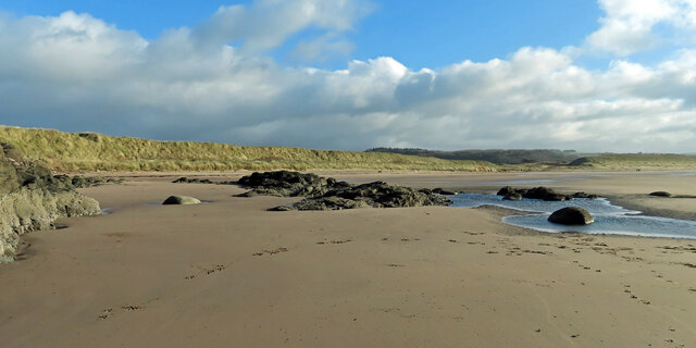
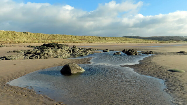
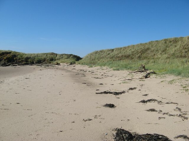
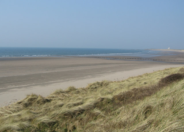
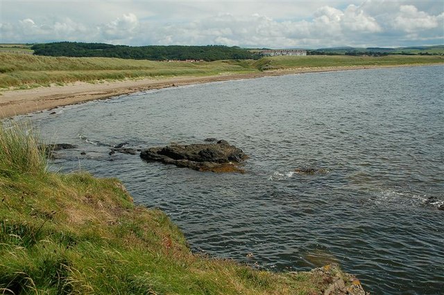
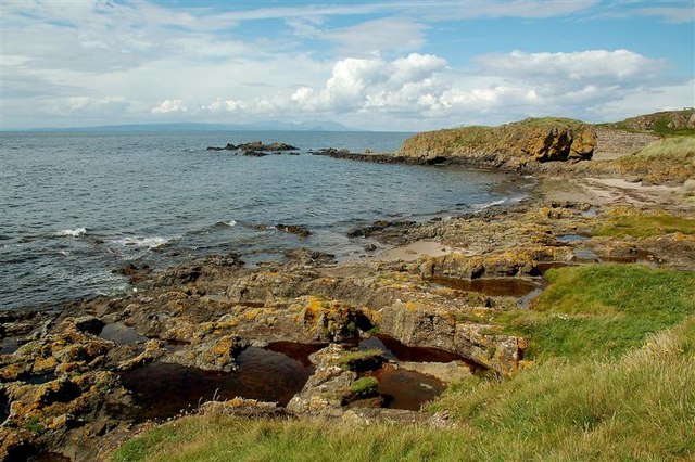
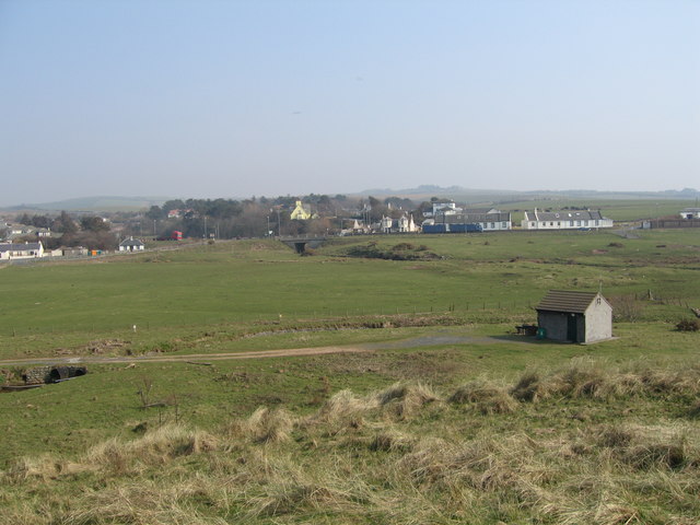
Brest Rocks is a small uninhabited island located off the coast of Ayrshire, Scotland. Situated in the Firth of Clyde, it is part of a group of islands known as the Ailsa Craig archipelago. Brest Rocks is the largest of these islands, with a total area of approximately 10 acres.

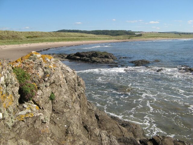
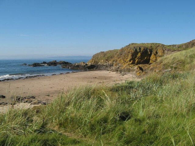
The island is named after the French town of Brest, which is believed to have historical connections with the area. It is characterized by its rugged and rocky terrain, with steep cliffs rising up to 60 meters in some places. Its distinctive geological features make it a popular site for geology enthusiasts and birdwatchers alike.

As a natural habitat, Brest Rocks is home to a variety of seabirds, including guillemots, razorbills, and gulls. The island's cliffs provide nesting sites for these birds during the breeding season.

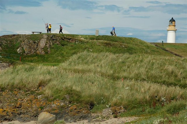
Access to Brest Rocks is restricted due to its protected status as a Site of Special Scientific Interest (SSSI), ensuring the preservation of its unique flora and fauna. The island is not accessible to the general public, but it can be observed from nearby viewpoints along the Ayrshire coast.

Brest Rocks is a significant landmark in the area, adding to the natural beauty of the Ailsa Craig archipelago. Its geological and ecological importance, combined with its historical connections, make it a fascinating destination for those interested in exploring Scotland's coastal heritage.

If you have any feedback on the listing, please let us know in the comments section below.
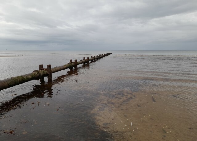
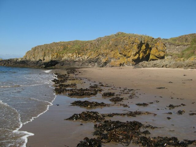
Brest Rocks Images

Images are sourced within 2km of 55.306119/-4.8495331 or Grid Reference NS1905. Thanks to Geograph Open Source API. All images are credited.

Turnberry Bay view The northern end of Turnberry Bay viewed with the tide well out on a lovely late-January afternoon.
Turnberry Bay view
The northern end of Turnberry Bay viewed with the tide well out on a lovely late-January afternoon.
Low tide at Turnberry Bay The tide reveals a large expanse of firm sand and wide empty spaces. The Ayrshire Coastal Path follows the shoreline here before crossing the golf course a little further north.
Low tide at Turnberry Bay
The tide reveals a large expanse of firm sand and wide empty spaces. The Ayrshire Coastal Path follows the shoreline here before crossing the golf course a little further north.
Old sewage outfall pipe, Turnberry Old sewage outfall pipe, Turnberry.
Old sewage outfall pipe, Turnberry
Old sewage outfall pipe, Turnberry.
Foreshore at Drumbeg The Foreshore near Drumbeg.
Foreshore at Drumbeg
The Foreshore near Drumbeg.
Turnberry Point Turnberry Point seen across Lochan Port with a notable landing of kelp ripped up by recent rough weather.
Turnberry Point
Turnberry Point seen across Lochan Port with a notable landing of kelp ripped up by recent rough weather.
Turnberry Bay The wide sweep of the fine bay with its dunes which drop down to admit a small burn to drain through to the sea.
Turnberry Bay
The wide sweep of the fine bay with its dunes which drop down to admit a small burn to drain through to the sea.
Sand dunes A fine stretch of sand with cast-up trees and seaweed in front of the dunes.
Sand dunes
A fine stretch of sand with cast-up trees and seaweed in front of the dunes.
Turnberry Point Looking from the dunes over Lochan Port to the lichen-encrusted rocks of Turnberry Point.
Turnberry Point
Looking from the dunes over Lochan Port to the lichen-encrusted rocks of Turnberry Point.
Turnberry Golf Course Turnberry Hotel and the Championship 'Ailsa' golf course, one of the three courses at Turnberry. The walled area is part of the Lighthouse property.
Turnberry Golf Course
Turnberry Hotel and the Championship 'Ailsa' golf course, one of the three courses at Turnberry. The walled area is part of the Lighthouse property.
Ailsa Craig A closer look zoomed from Dowhill - it has been pictured several times before but I thought that I might as well add to the collection.
Ailsa Craig
A closer look zoomed from Dowhill - it has been pictured several times before but I thought that I might as well add to the collection.
Turnberry Dunes Turnberry lighthouse in the distance. Milton Burn outflow in middle distance.
Turnberry Dunes
Turnberry lighthouse in the distance. Milton Burn outflow in middle distance.
Granite Boulders Way in the distance is Turnberry Lighthouse.
Granite Boulders
Way in the distance is Turnberry Lighthouse.
Balkenna Isle The light on Brest Rocks can be seen on the horizon.
Balkenna Isle
The light on Brest Rocks can be seen on the horizon.
Shore Boulder Turnberry Lighthouse can be seen way in the distance (just right of centre on the horizon).
Shore Boulder
Turnberry Lighthouse can be seen way in the distance (just right of centre on the horizon).
Turnberry Bay Viewed from Turnberry Point, with Turnberry Hotel <a href="https://www.geograph.org.uk/gridref/NS2005">NS2005</a> in the background. For a winter view, see <a href="https://www.geograph.org.uk/photo/5273413">NS1906 : Turnberry Bay</a>
Turnberry Bay
Viewed from Turnberry Point, with Turnberry Hotel NS2005 in the background. For a winter view, see NS1906 : Turnberry Bay
From Turnberry Point Looking across the Firth of Clyde towards Arran.
From Turnberry Point
Looking across the Firth of Clyde towards Arran.
Turnberry golfers Viewed from Turnberry Point.  Turnberry Lighthouse <a href="https://www.geograph.org.uk/gridref/NS1907">NS1907</a> is in the background.
Turnberry golfers
Viewed from Turnberry Point. Turnberry Lighthouse NS1907 is in the background.
The Mouth Of Chapelton Burn Looking up the burn as it spreads out across the beach at Balkenna.  The Explorer map shows that part of the black holiday hut lies inside this square.  The lorries in the background are on the A77, which lies along the upper edge of the post-glacial raised beach.
The Mouth Of Chapelton Burn
Looking up the burn as it spreads out across the beach at Balkenna. The Explorer map shows that part of the black holiday hut lies inside this square. The lorries in the background are on the A77, which lies along the upper edge of the post-glacial raised beach.
Show me another place!

Brest Rocks is located at Grid Ref: NS1905 (Lat: 55.306119, Lng: -4.8495331)

Unitary Authority: South Ayrshire

Police Authority: Ayrshire

What 3 Words

///hulk.resist.firebird. Near Girvan, South Ayrshire

Nearby Locations

Brest Rocks

Related Wikis

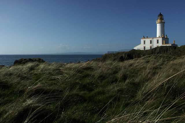
Turnberry, South Ayrshire

Turnberry is a village 6 miles (9.7 km) north of Girvan, in the civil parish of Kirkoswald, in the council area of South Ayrshire, Scotland. It has a golf...

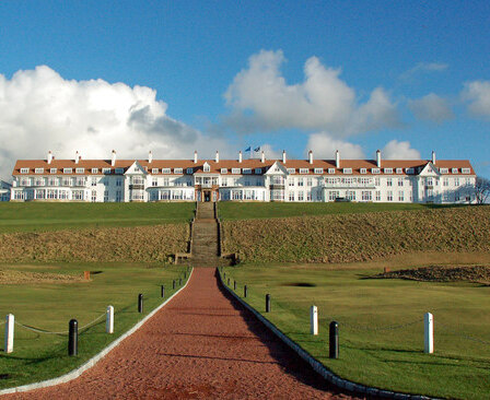
Turnberry (golf course)

Turnberry is a golf resort on the Firth of Clyde in Ayrshire, southwest Scotland. It comprises three links golf courses, a golf academy, a five-star James...

2003 Senior British Open

The 2003 Senior British Open was a senior major golf championship and the 17th Senior British Open, held from 24–27 July at Turnberry in South Ayrshire...

2015 Women's British Open

The 2015 Ricoh Women's British Open was played 30 July – 2 August at the Trump Turnberry in South Ayrshire, Scotland. It was the 39th Women's British Open...

Have you been to Brest Rocks?

Leave your review of Brest Rocks below (or comments, questions and feedback).