Catworth, Little

Settlement in Huntingdonshire Huntingdonshire

England

Catworth, Little

High Street, Catworth
High Street, Catworth Credit: David Howard

The requested URL returned error: 429 Too Many Requests

If you have any feedback on the listing, please let us know in the comments section below.

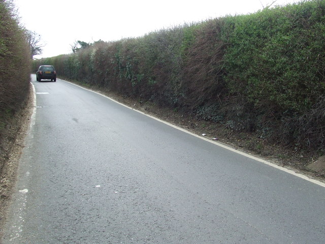
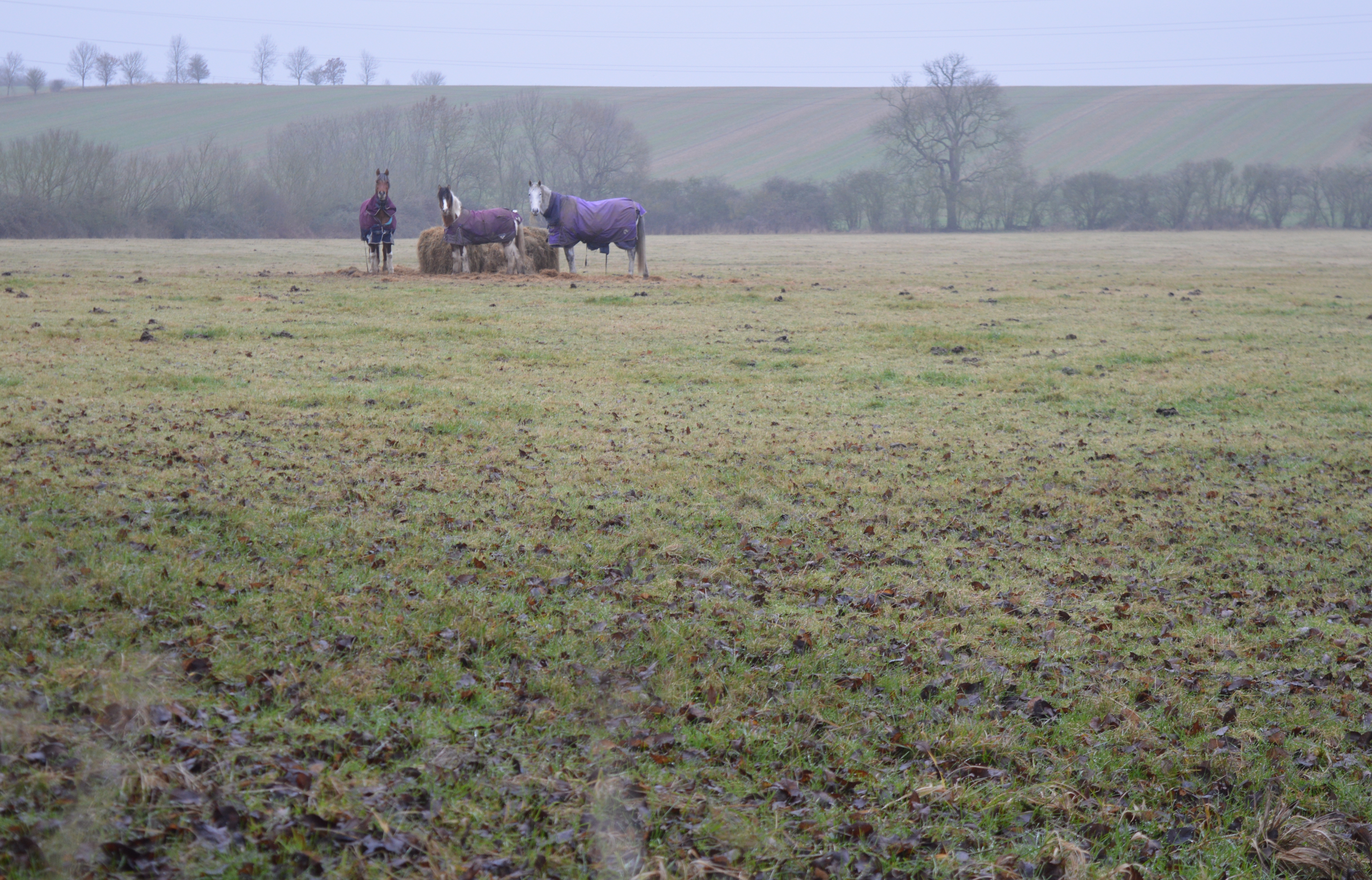
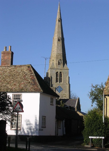
Catworth, Little Images

Images are sourced within 2km of 52.34216/-0.382335 or Grid Reference TL1072. Thanks to Geograph Open Source API. All images are credited.

High Street, Catworth
The A14 Thrapston Road near Catworth The A14 is a major road which runs for 129 miles from the Port of Felixstowe to the Catthorpe Interchange, the junction of the M1 and M6 motorways near Rugby.

The route linking Rugby (and therefore the West Midlands and the north of England via the motorway network) to East Anglia and the ports of Felixstowe and Harwich is incredibly important and incredibly busy (Felixstowe is the UK's principal container port and the A14 is the road between Felixstowe and everywhere else) but it didn't exist in any coherent form until about 1992.

Prior to the current A14 the main route from Birmingham to the Haven ports followed the old A45 road via Coventry, Rugby, Northampton, St Neots, Cambridge and then through all the towns on the A14, from there to Ipswich where it ended on the A12 – not the fast route required for transporting goods across the country with the sudden rise in container shipping during the latter part of the twentieth century.

Most of the current A14 route is a collection of bits of dual carriageway acquired from other roads (most notably the A45) with occasional stretches of new road to bolt it all together. Because of its importance to the country’s economy, there are plans to upgrade it further.

Prior to its use for the current route the A14 designation had been used for a section of road between the A10 at Royston and the A1 at Alconbury following part of the route of the Roman road, Ermine Street, which is now mostly designated as the A1198. The only bit of the current A14 that follows that number's original route is the spur linking junction 23 to the A1.

<span class="nowrap"><a title="http://www.cbrd.co.uk/motorway/a14" rel="nofollow ugc noopener" href="http://www.cbrd.co.uk/motorway/a14">Link</a><img style="margin-left:2px;" alt="External link" title="External link - shift click to open in new window" src="https://s1.geograph.org.uk/img/external.png" width="10" height="10"/></span> Chris's British Road Directory
<span class="nowrap"><a title="http://en.wikipedia.org/wiki/A14_road_(England)" rel="nofollow ugc noopener" href="http://en.wikipedia.org/wiki/A14_road_(England)">Link</a><img style="margin-left:2px;" alt="External link" title="External link - shift click to open in new window" src="https://s1.geograph.org.uk/img/external.png" width="10" height="10"/></span>  Wikipedia
The A14 Thrapston Road near Catworth
The A14 is a major road which runs for 129 miles from the Port of Felixstowe to the Catthorpe Interchange, the junction of the M1 and M6 motorways near Rugby. The route linking Rugby (and therefore the West Midlands and the north of England via the motorway network) to East Anglia and the ports of Felixstowe and Harwich is incredibly important and incredibly busy (Felixstowe is the UK's principal container port and the A14 is the road between Felixstowe and everywhere else) but it didn't exist in any coherent form until about 1992. Prior to the current A14 the main route from Birmingham to the Haven ports followed the old A45 road via Coventry, Rugby, Northampton, St Neots, Cambridge and then through all the towns on the A14, from there to Ipswich where it ended on the A12 – not the fast route required for transporting goods across the country with the sudden rise in container shipping during the latter part of the twentieth century. Most of the current A14 route is a collection of bits of dual carriageway acquired from other roads (most notably the A45) with occasional stretches of new road to bolt it all together. Because of its importance to the country’s economy, there are plans to upgrade it further. Prior to its use for the current route the A14 designation had been used for a section of road between the A10 at Royston and the A1 at Alconbury following part of the route of the Roman road, Ermine Street, which is now mostly designated as the A1198. The only bit of the current A14 that follows that number's original route is the spur linking junction 23 to the A1. LinkExternal link Chris's British Road Directory LinkExternal link Wikipedia
A14 looking towards Thrapston Traffic thunders past a lay-by on the eastbound carriageway of the A14; in common with other lay-bys on this stretch an SOS telephone is provided.
A14 looking towards Thrapston
Traffic thunders past a lay-by on the eastbound carriageway of the A14; in common with other lay-bys on this stretch an SOS telephone is provided.
Three Shires Way just below Molly Rose Lodge
Recently planted trees by the Three Shires Way This part of the Three Shires Way has received a bit of a makeover with French drains installed, trees planted and overgrown scrub reined in.
Recently planted trees by the Three Shires Way
This part of the Three Shires Way has received a bit of a makeover with French drains installed, trees planted and overgrown scrub reined in.
Track to Molly Rose Lodge Part of the Three Shires Way
Track to Molly Rose Lodge
Part of the Three Shires Way
No Through Road Just happens to be facing the wrong way, pedestrian and horse access allowed as this is part of the Three Shires Way.
No Through Road
Just happens to be facing the wrong way, pedestrian and horse access allowed as this is part of the Three Shires Way.
No Through Road Modern sign and old Pre-Worboys No Through Road sign near to Catworth, Cambridgeshire. For close up view see <a title="https://www.geograph.org.uk/photo/2883400" href="https://www.geograph.org.uk/photo/2883400">Link</a>
No Through Road
Modern sign and old Pre-Worboys No Through Road sign near to Catworth, Cambridgeshire. For close up view see Link
Pre-Worboys Sign Old Pre-Worboys No Through Road sign near to Catworth, Cambridgeshire. For overall view see <a title="https://www.geograph.org.uk/photo/2883397" href="https://www.geograph.org.uk/photo/2883397">Link</a>
Pre-Worboys Sign
Old Pre-Worboys No Through Road sign near to Catworth, Cambridgeshire. For overall view see Link
Old Milepost Old milepost on the B660 near to Catworth, Cambridgeshire. For overall view see <a title="https://www.geograph.org.uk/photo/2883405" href="https://www.geograph.org.uk/photo/2883405">Link</a>
Old Milepost
Old milepost on the B660 near to Catworth, Cambridgeshire. For overall view see Link
66 Miles From London Old milepost on the B660 near to Catworth, Cambridgeshire. For close up view see <a title="https://www.geograph.org.uk/photo/2883402" href="https://www.geograph.org.uk/photo/2883402">Link</a>
66 Miles From London
Old milepost on the B660 near to Catworth, Cambridgeshire. For close up view see Link
Old Milepost Old milepost on the B660 near to Catworth, Cambridgeshire. For overall view see <a title="https://www.geograph.org.uk/photo/2883546" href="https://www.geograph.org.uk/photo/2883546">Link</a>
Old Milepost
Old milepost on the B660 near to Catworth, Cambridgeshire. For overall view see Link
67 Miles From London Old milepost hidden in hedge on the B660 near to Catworth, Cambridgeshire. For close up view see <a title="https://www.geograph.org.uk/photo/2883540" href="https://www.geograph.org.uk/photo/2883540">Link</a>
67 Miles From London
Old milepost hidden in hedge on the B660 near to Catworth, Cambridgeshire. For close up view see Link
Track to Molly Rose Lodge The sign reads "No vehicles 1st October to 30th April"
Track to Molly Rose Lodge
The sign reads "No vehicles 1st October to 30th April"
Junction of High Street and Station Road, Catworth
St Leonard's Church, Catworth 14th century. See <span class="nowrap"><a title="http://www.britishlistedbuildings.co.uk/en-398941-parish-church-of-st-leonards-catworth-ca" rel="nofollow ugc noopener" href="http://www.britishlistedbuildings.co.uk/en-398941-parish-church-of-st-leonards-catworth-ca">Link</a><img style="margin-left:2px;" alt="External link" title="External link - shift click to open in new window" src="https://s1.geograph.org.uk/img/external.png" width="10" height="10"/></span>
St Leonard's Church, Catworth
14th century. See LinkExternal link
Catworth, seating area opposite Race Horse pub and village sign
Show me another place!

Catworth, Little is located at Grid Ref: TL1072 (Lat: 52.34216, Lng: -0.382335)

Administrative County: Cambridgeshire

District: Huntingdonshire

Police Authority: Cambridgeshire

What 3 Words

///wiggles.relished.aimed. Near Kimbolton, Cambridgeshire

Related Wikis

Little Catworth Meadow

Little Catworth Meadow is a 5.2-hectare (13-acre) biological Site of Special Scientific Interest between Catworth and Spaldwick in Cambridgeshire.The meadow...

Stow Longa

Stow Longa is a village and civil parish in Cambridgeshire, England. Stow Longa lies approximately 8 miles (13 km) west of Huntingdon and two miles north...

Catworth

Catworth is a village and civil parish in Cambridgeshire, England. Catworth lies approximately 9 miles (14 km) west of Huntingdon. The civil parish covers...

A142 road

The A142 is a road that runs from Newmarket in Suffolk to Chatteris in Cambridgeshire. == References ==

Nearby Amenities

Located within 500m of 52.34216,-0.382335
Little Catworth
Note: mentioned on sign at end of road, but located by NPE
Place: locality
Lat/Long: 52.3421743/-0.3871444
Power: tower
Source: bing
Lat/Long: 52.3416351/-0.376012
Power: tower
Lat/Long: 52.3446213/-0.3834279
Power: tower
Lat/Long: 52.3458928/-0.3863456
Power: tower
Lat/Long: 52.3427995/-0.3792002
Barrier: stile
Lat/Long: 52.3430202/-0.3779905
Barrier: stile
Lat/Long: 52.3438592/-0.3845843
The data included in this document is from www.openstreetmap.org. The data is made available under ODbL.

Have you been to Catworth, Little?

Leave your review of Catworth, Little below (or comments, questions and feedback).