Carreg Lion
Island in Pembrokeshire
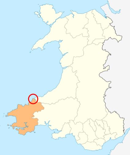
Wales
Carreg Lion
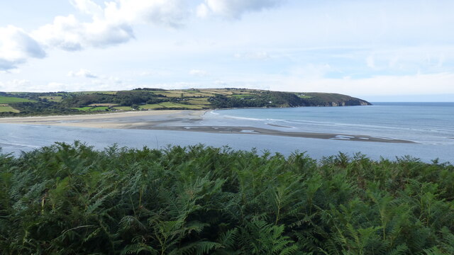
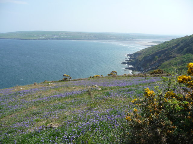
Carreg Lion is a small island located off the coast of Pembrokeshire, Wales. Also known as Lion Rock, it is situated about 1.5 miles northwest of the town of Tenby. The island is a prominent feature of the local coastline and is visible from several viewpoints along the shore.
Carreg Lion is a rugged and rocky island, measuring approximately 200 meters in length and 50 meters in width. It is composed of sandstone and limestone, which gives its cliffs and rock formations a distinctive appearance. The island's highest point reaches about 35 meters above sea level.
Due to its remote location and difficult terrain, access to Carreg Lion is limited. It is not possible to walk to the island during high tide, but during low tide, a rocky causeway is exposed, allowing visitors to reach the island on foot.
The island is home to a variety of bird species, including gulls, cormorants, and oystercatchers. Seals can often be spotted lounging on the rocks surrounding the island. The surrounding waters are rich in marine life, making Carreg Lion a popular spot for snorkeling and diving enthusiasts.
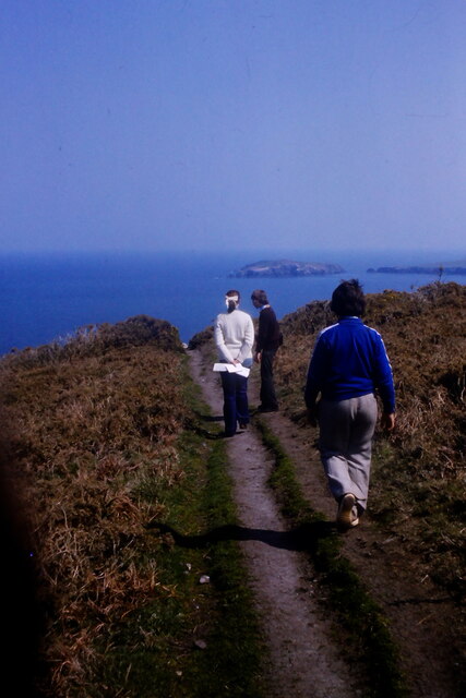
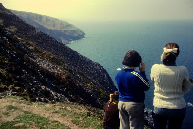
Carreg Lion holds great historical significance as well. It is believed to have served as a lookout point during the medieval period and may have had defensive structures on its summit. Today, the island's rocky landscape and stunning views make it a popular destination for nature lovers and photographers, offering a glimpse into the natural beauty of the Pembrokeshire coast.
If you have any feedback on the listing, please let us know in the comments section below.
Carreg Lion Images
Images are sourced within 2km of 52.106297/-4.7457139 or Grid Reference SN1248. Thanks to Geograph Open Source API. All images are credited.


Carreg Lion is located at Grid Ref: SN1248 (Lat: 52.106297, Lng: -4.7457139)
Unitary Authority: Pembrokeshire
Police Authority: Dyfed Powys
What 3 Words
///rejoiced.vows.imprints. Near Cardigan, Ceredigion
Nearby Locations
Related Wikis
Cemaes Head
Cemaes Head (formerly Cemais, and historically anglicised as Cemmaes, Kemmaes or Kemmes) (Welsh: Pen Cemaes or Trwyn Cemaes) is a headland and nature reserve...
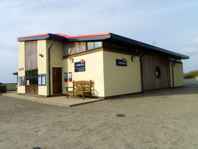
Cardigan Lifeboat Station
Cardigan Lifeboat Station, at Poppit Sands, North Pembrokeshire, near Cardigan, Ceredigion, Wales, is a Royal National Lifeboat Institution (RNLI) lifeboat...
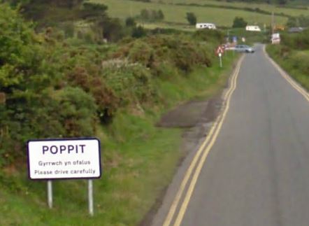
Poppit Sands
Poppit (Welsh: Poppit) is a small, dispersed settlement which lies on the southern side of the estuary of the River Teifi, near Cardigan, in northern Pembrokeshire...

River Teifi
The River Teifi (English: ; Welsh: Afon Teifi, pronounced [ˈavɔn ˈtei̯vi]) in Wales forms the boundary for most of its length between the counties of Ceredigion...
Have you been to Carreg Lion?
Leave your review of Carreg Lion below (or comments, questions and feedback).