Beeny Sisters
Island in Cornwall
England
Beeny Sisters
The Beeny Sisters, Cornwall, is a small island located off the coast of Cornwall, England. It is renowned for its stunning natural beauty, rugged landscapes, and rich history. The island is accessible by boat, making it a popular destination for tourists and nature enthusiasts.
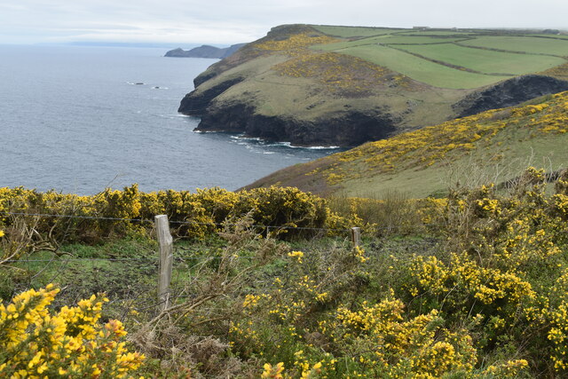
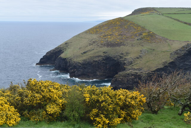
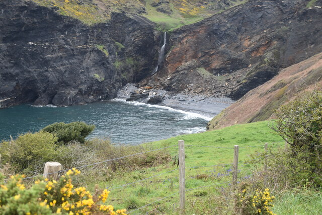
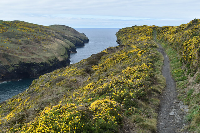
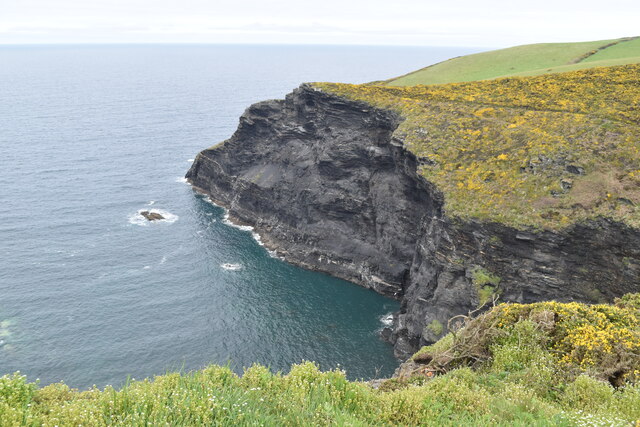
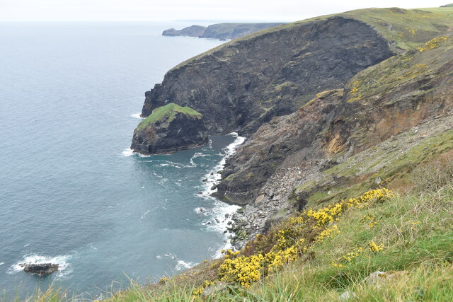
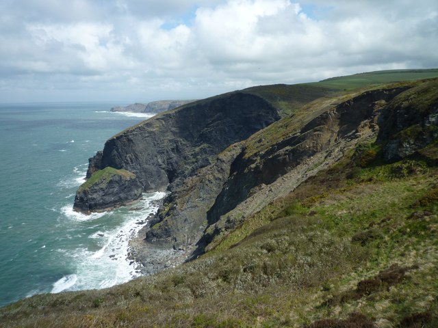
One of the most striking features of the Beeny Sisters is its towering cliffs, which provide breathtaking views of the surrounding sea and coastline. The cliffs are home to an array of bird species, making it a haven for birdwatchers. The island is also home to a variety of other wildlife, including seals, dolphins, and rare plant species.
History buffs will be fascinated by the island's historical landmarks, such as the ruins of an ancient castle and a 13th-century chapel. These structures offer a glimpse into the island's past and provide a sense of its rich heritage.
In terms of activities, visitors can enjoy hiking along the island's many trails, exploring its secluded coves and beaches, or simply soaking up the peaceful atmosphere. The island is also a popular spot for water sports, such as kayaking and scuba diving, due to its crystal-clear waters and diverse marine life.
Accommodation options on the Beeny Sisters are limited but include charming cottages and guesthouses, providing a cozy and intimate retreat for those wanting to experience the island's tranquility.
Overall, the Beeny Sisters, Cornwall, offers a unique and unforgettable experience for visitors, combining natural beauty, historical significance, and a sense of tranquility in one stunning location.
If you have any feedback on the listing, please let us know in the comments section below.
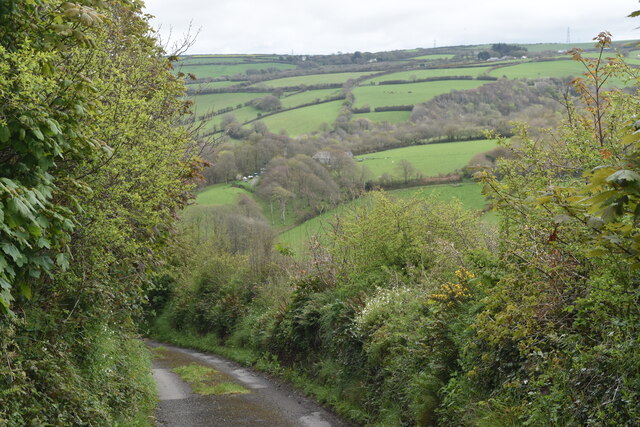
Beeny Sisters Images
Images are sourced within 2km of 50.706833/-4.680273 or Grid Reference SX1093. Thanks to Geograph Open Source API. All images are credited.


Beeny Sisters is located at Grid Ref: SX1093 (Lat: 50.706833, Lng: -4.680273)
Unitary Authority: Cornwall
Police Authority: Devon and Cornwall
What 3 Words
///sorters.nesting.ooze. Near Tintagel, Cornwall
Nearby Locations
Related Wikis

Beeny
Beeny is a hamlet in north Cornwall, England, UK. It is in a sheltered valley near the coast two miles (3 km) north-east of Boscastle. == Literary allusions... ==
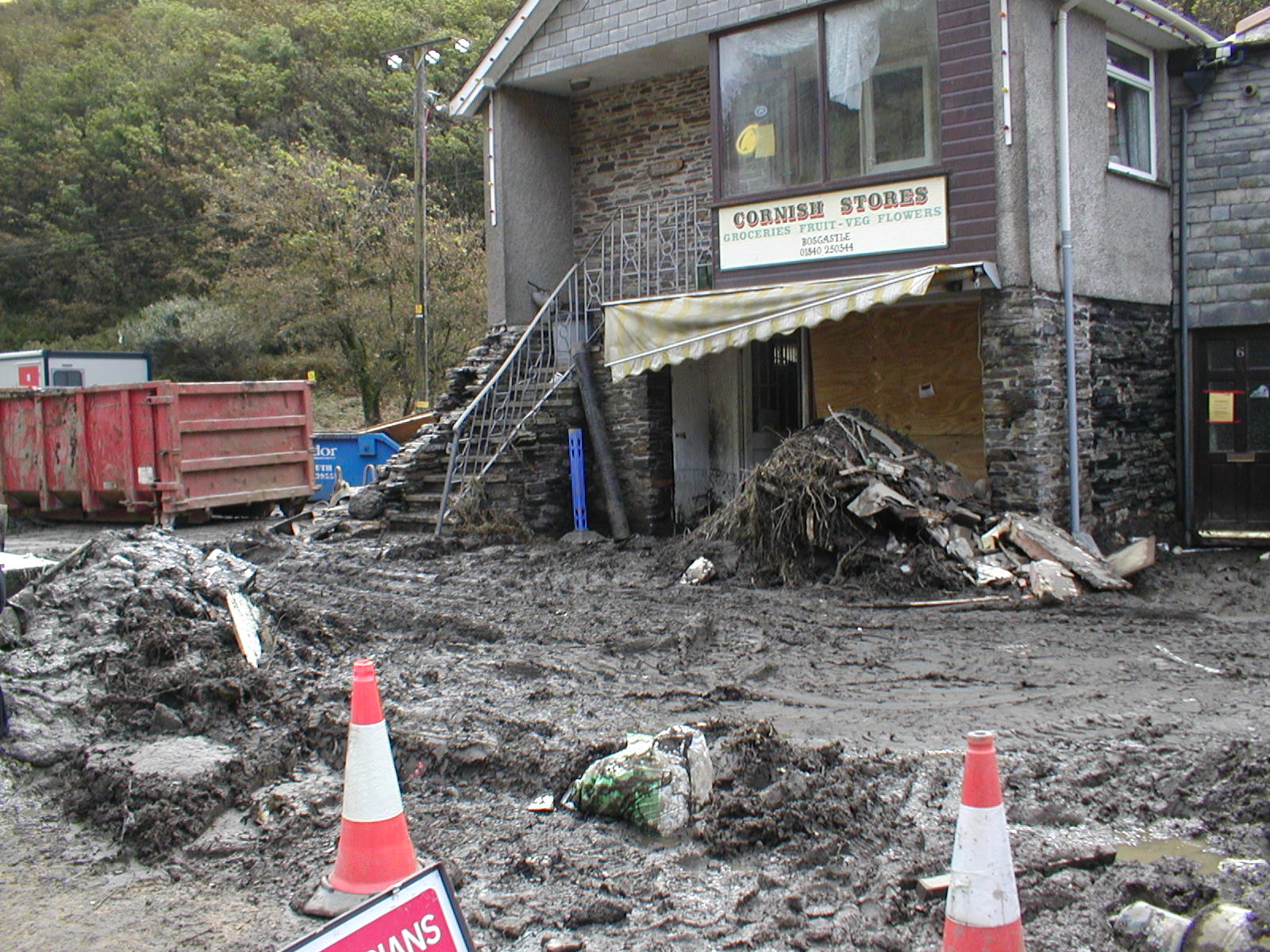
2004 Boscastle flood
The 2004 Boscastle flood (Cornish: An Lanwes Kastel Boterel 2004) occurred on Monday, 16 August 2004 in the two villages of Boscastle and Crackington Haven...

River Valency
The River Valency (Cornish: Dowr an Velinji) is a short river in north Cornwall, England, UK, with many small tributaries. After running past Lesnewth...

Museum of Witchcraft and Magic
The Museum of Witchcraft and Magic, formerly known as the Museum of Witchcraft, is a museum dedicated to European witchcraft and magic located in the village...
Nearby Amenities
Located within 500m of 50.706833,-4.680273Have you been to Beeny Sisters?
Leave your review of Beeny Sisters below (or comments, questions and feedback).