Blackmore Beach
Island in Cornwall
England
Blackmore Beach
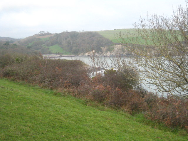
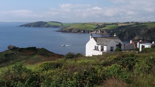
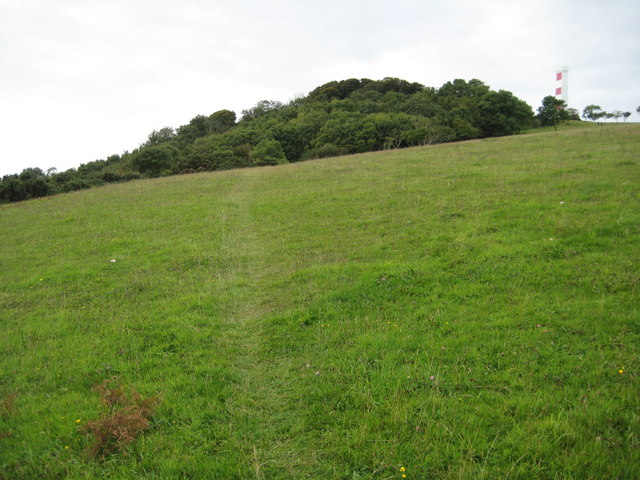
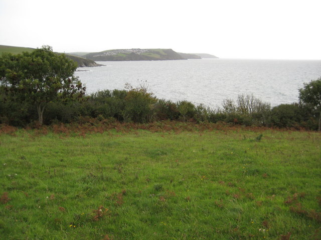
Blackmore Beach, located in Cornwall, is a picturesque and charming island beach that offers visitors a serene and relaxing experience. The beach is nestled on the southern coast of Cornwall and is accessible by a small boat ride from the mainland. With its pristine golden sands and crystal-clear turquoise waters, Blackmore Beach is a haven for beach lovers and nature enthusiasts alike.
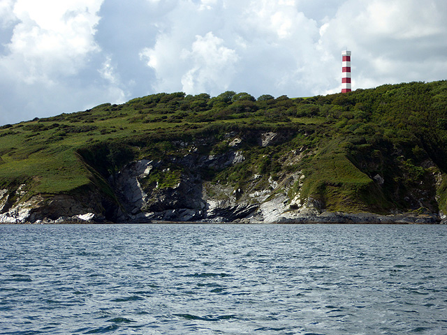
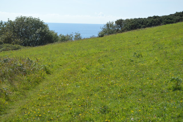
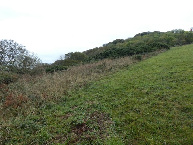
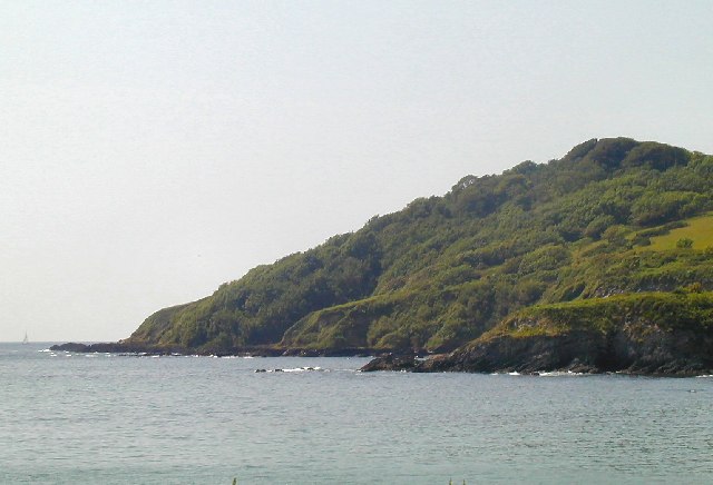
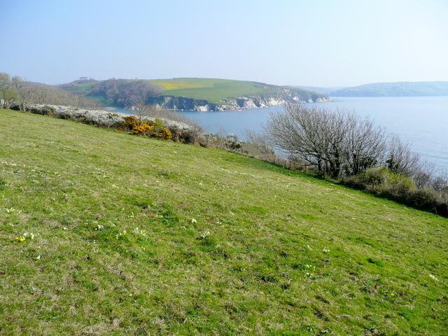
The beach boasts stunning natural beauty, surrounded by rugged cliffs and lush greenery. It offers breathtaking panoramic views of the ocean, making it a popular spot for photographers and nature lovers. The calm and peaceful atmosphere of the beach makes it an ideal destination for those seeking tranquility and solitude.
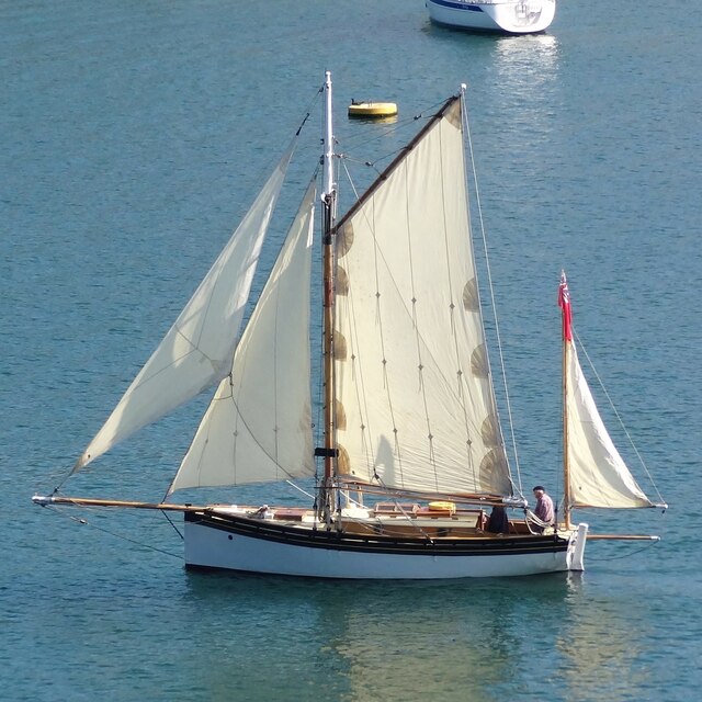
Blackmore Beach is known for its clean and well-maintained shoreline, making it a safe and family-friendly destination. The warm waters provide the perfect opportunity for swimming, snorkeling, and even paddleboarding. The beach is also a popular spot for picnicking, with ample space for families and friends to relax and enjoy a meal amidst the scenic surroundings.
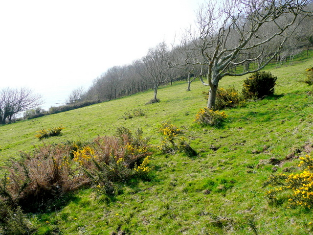
Visitors to Blackmore Beach can explore the surrounding area, which is rich in flora and fauna. The island is home to a variety of seabirds, making it a great spot for birdwatching. Additionally, there are several coastal trails that offer stunning views and opportunities for hiking and exploring.
Overall, Blackmore Beach in Cornwall is a hidden gem that offers a serene and enchanting experience for visitors. Its natural beauty, tranquility, and diverse recreational activities make it a must-visit destination for beach lovers and nature enthusiasts.
If you have any feedback on the listing, please let us know in the comments section below.
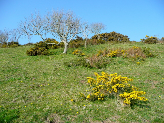
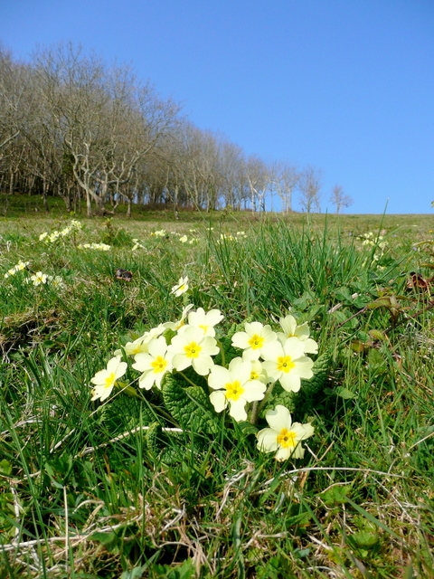
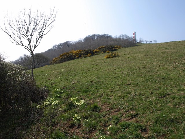
Blackmore Beach Images
Images are sourced within 2km of 50.322099/-4.6605537 or Grid Reference SX1050. Thanks to Geograph Open Source API. All images are credited.

Blackmore Beach is located at Grid Ref: SX1050 (Lat: 50.322099, Lng: -4.6605537)
Unitary Authority: Cornwall
Police Authority: Devon and Cornwall
What 3 Words
///sometimes.protected.galaxies. Near Fowey, Cornwall
Nearby Locations
Related Wikis
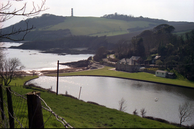
Gribben Head
Gribbin Head (Cornish: an Gribyn) is a promontory on the south coast of Cornwall, England, UK, owned and managed by the National Trust. It separates St...
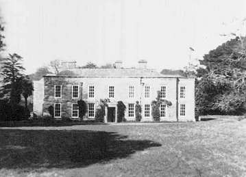
Menabilly
Menabilly (Cornish: Men Ebeli, meaning stone of colts) is a historic estate on the south coast of Cornwall, England, situated within the parish of Tywardreath...
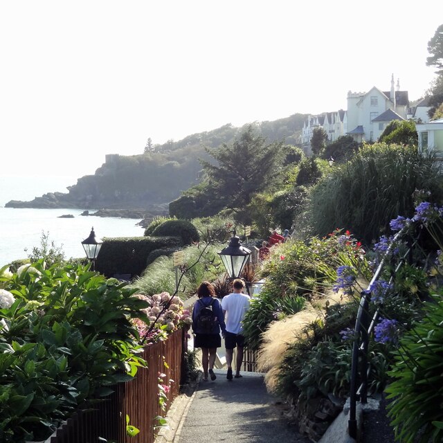
Readymoney Cove
Readymoney Cove (Cornish: Porth Mundy, meaning mineral house cove) is a sandy beach to the south of the harbour town of Fowey, Cornwall, England, United...
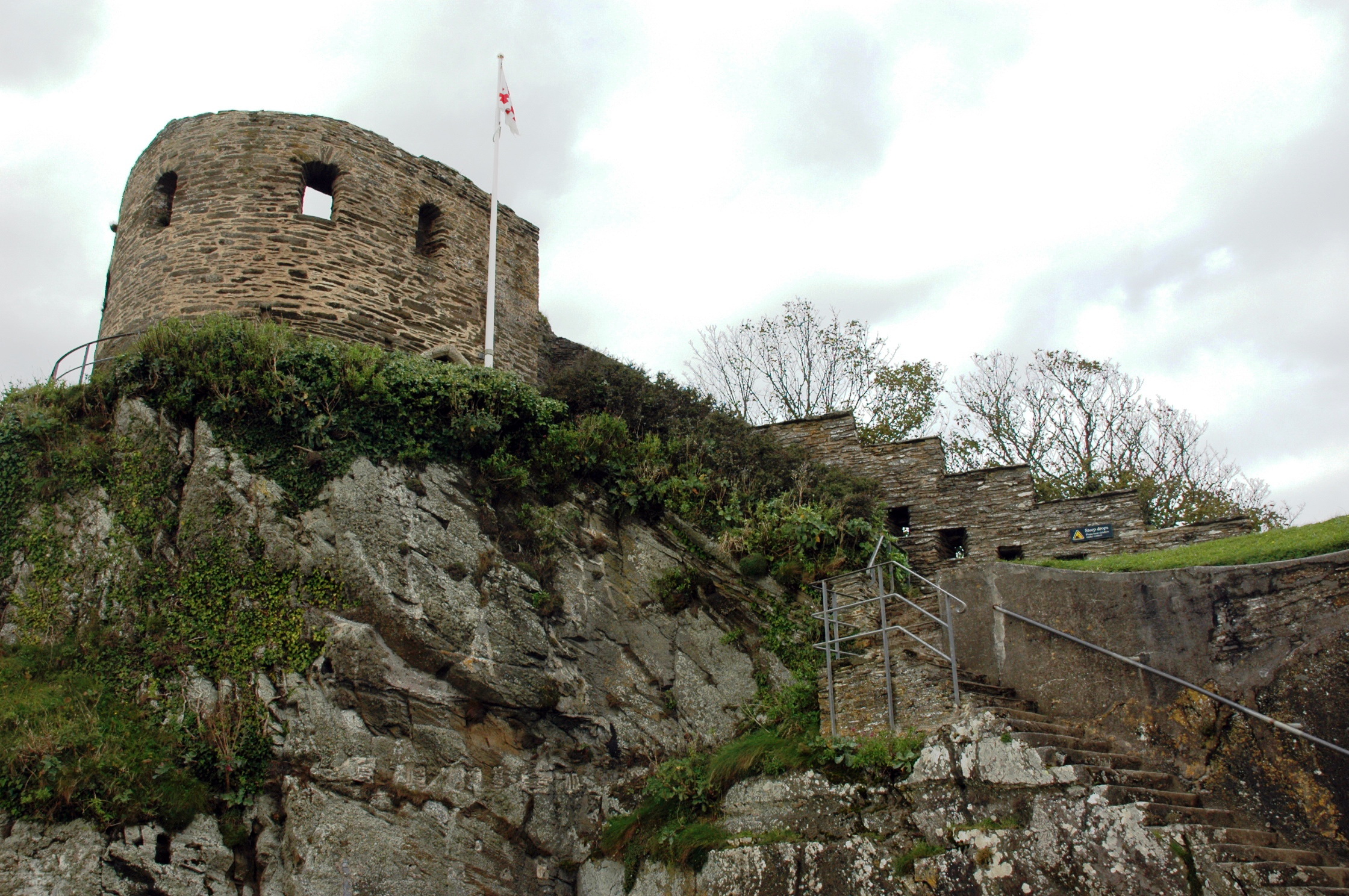
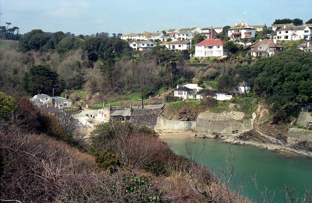
St Catherine's Castle
St Catherine's Castle (Cornish: Kastel S. Kattrin) is a Henrician castle in Cornwall, England, built by Thomas Treffry between approximately 1538 and 1540...
Nearby Amenities
Located within 500m of 50.322099,-4.6605537Have you been to Blackmore Beach?
Leave your review of Blackmore Beach below (or comments, questions and feedback).