Isle Martin

Island in Cromartyshire

Scotland

Isle Martin

Rubha Cadail lighthouse and Ben Mor Coigach A short path connects the road end with the lighthouse.  Beside the lighthouse are the rest of my party who had found a good place to watch the scheduled arrival of the CalMac ferry from Stornoway.
Rubha Cadail lighthouse and Ben Mor Coigach Credit: Julian Paren

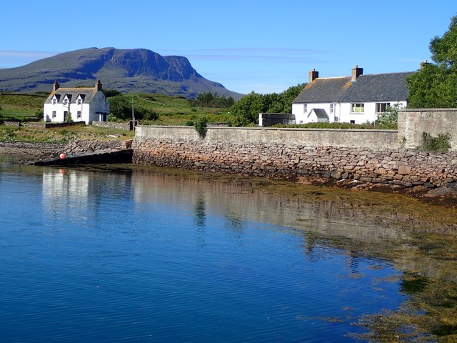
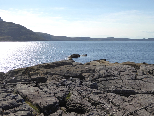
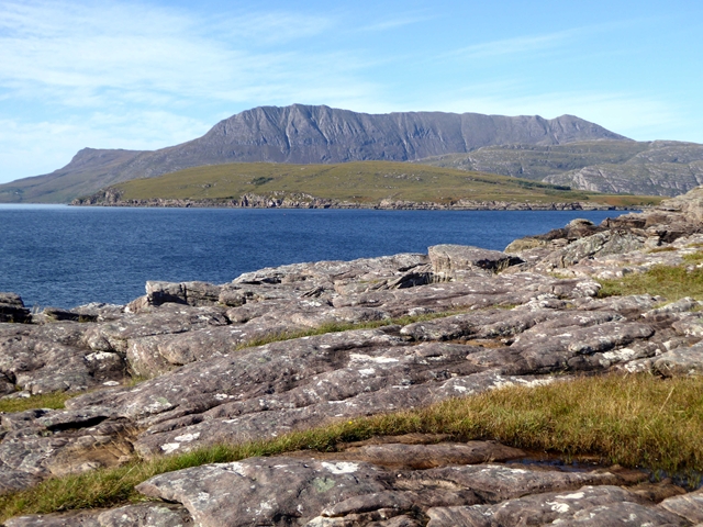
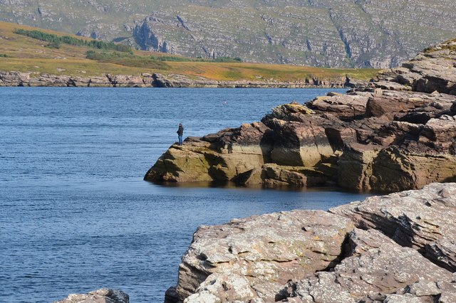
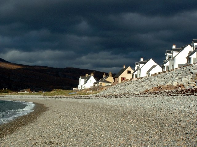
Isle Martin, located in Cromartyshire, is a small island situated in the Inner Sound of the Scottish Highlands. It covers an area of approximately 1.5 square kilometers and lies about 1.5 kilometers off the northwest coast of the Scottish mainland. The island is accessible by boat from the nearby town of Ullapool.

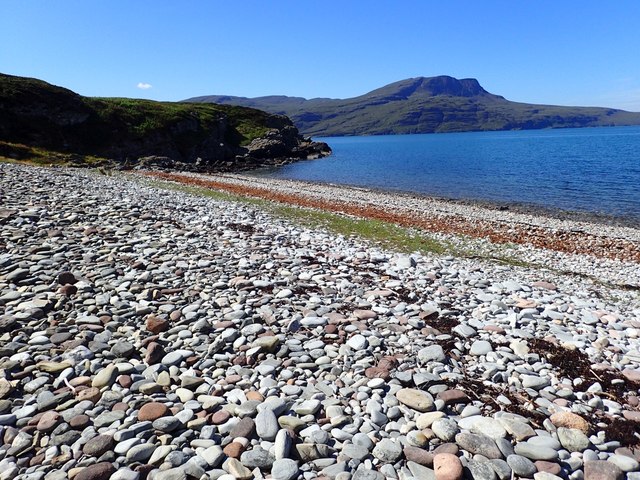
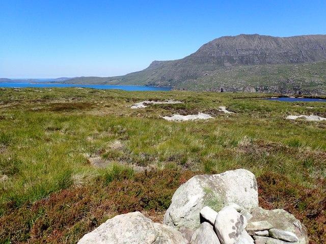
Isle Martin is known for its stunning natural beauty and rich history. The island is characterized by its rugged coastline, sandy beaches, and diverse wildlife. It is home to a variety of bird species, including puffins, guillemots, and razorbills, making it a popular spot for birdwatching enthusiasts.

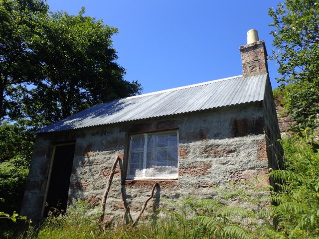
The island also boasts a rich history dating back thousands of years. Archaeological evidence suggests that Isle Martin was inhabited as early as the Bronze Age, and remnants of ancient settlements and burial sites have been discovered on the island. In more recent history, the island served as a fishing community and was home to several families until the 1950s.

Today, Isle Martin is a nature reserve managed by the Isle Martin Trust. The trust works to protect the island's natural habitats and promote sustainable tourism. Visitors to the island can explore its beautiful trails, relax on its beaches, and learn about its history and conservation efforts through guided tours and exhibitions.

Overall, Isle Martin offers a unique and immersive experience for nature lovers and history enthusiasts alike. Its picturesque landscapes, diverse wildlife, and rich cultural heritage make it a must-visit destination for those exploring the Scottish Highlands.

If you have any feedback on the listing, please let us know in the comments section below.

Isle Martin Images

Images are sourced within 2km of 57.942878/-5.2234784 or Grid Reference NH0999. Thanks to Geograph Open Source API. All images are credited.
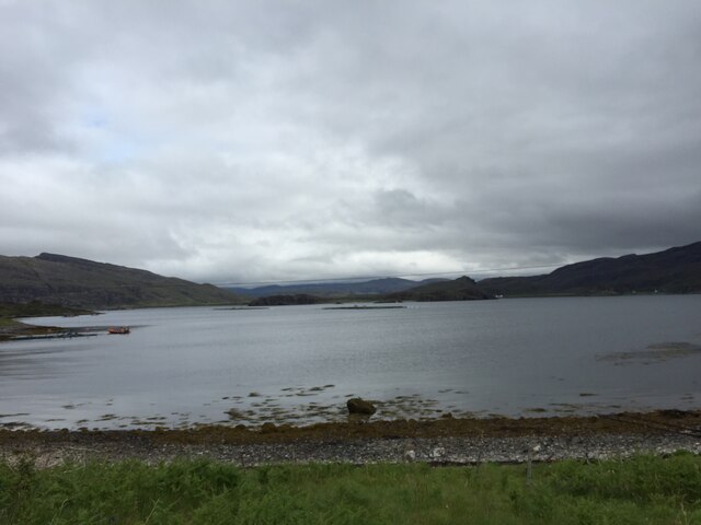
Rubha Cadail lighthouse and Ben Mor Coigach A short path connects the road end with the lighthouse.  Beside the lighthouse are the rest of my party who had found a good place to watch the scheduled arrival of the CalMac ferry from Stornoway.
Rubha Cadail lighthouse and Ben Mor Coigach
A short path connects the road end with the lighthouse. Beside the lighthouse are the rest of my party who had found a good place to watch the scheduled arrival of the CalMac ferry from Stornoway.
Navigation light, Rubha Cadail A small lighthouse on the headland at Rhue between Ullapool and Ardmair.
Navigation light, Rubha Cadail
A small lighthouse on the headland at Rhue between Ullapool and Ardmair.
Rocky coast at Rubha Cadail Looking north to the whaleback shape of Isle Martin.
Rocky coast at Rubha Cadail
Looking north to the whaleback shape of Isle Martin.
Rubha Cadail Lighthouse A small lighthouse near the approach to Ullapool at the entrance to Loch Broom. See [<span class="nowrap"><a title="http://www.worldwidelighthouses.com/Lighthouses/Scottish-Lighthouses/Privately-Owned/Rubha-Cadail" rel="nofollow ugc noopener" href="http://www.worldwidelighthouses.com/Lighthouses/Scottish-Lighthouses/Privately-Owned/Rubha-Cadail">Link</a><img style="margin-left:2px;" alt="External link" title="External link - shift click to open in new window" src="https://s1.geograph.org.uk/img/external.png" width="10" height="10"/></span>] for more information.
Rubha Cadail Lighthouse
A small lighthouse near the approach to Ullapool at the entrance to Loch Broom. See [LinkExternal link] for more information.
Houses on Isle Martin Photo taken from the pier.
Houses on Isle Martin
Photo taken from the pier.
Old Schoolhouse on Isle Martin The Isle Martin Trust is intending to renovate this so that it can be used. There is a newer schoolhouse nearer the main houses, now used as a small museum.
Old Schoolhouse on Isle Martin
The Isle Martin Trust is intending to renovate this so that it can be used. There is a newer schoolhouse nearer the main houses, now used as a small museum.
Camas a' Bhuailidh Colourful pebble beach. Beinn Ghobhlach in the distance.
Camas a' Bhuailidh
Colourful pebble beach. Beinn Ghobhlach in the distance.
View from Cairn on Isle Martin On the right is the end of a small loch which is the island's fresh water supply. Red-throated divers were nesting near it. The west end of Ben Mor Coigach is in the distance.
View from Cairn on Isle Martin
On the right is the end of a small loch which is the island's fresh water supply. Red-throated divers were nesting near it. The west end of Ben Mor Coigach is in the distance.
Rubha Cadail Tip of the peninsula on the north side of the mouth to Loch Broom.
Rubha Cadail
Tip of the peninsula on the north side of the mouth to Loch Broom.
Rubha Cadail Light Navigation light mounted on a small tower on the north side of the entrance to Loch Broom. The light was established in 1952. The impressive south face of Beinn Mhòr na Còigich dominates the horizon.
Rubha Cadail Light
Navigation light mounted on a small tower on the north side of the entrance to Loch Broom. The light was established in 1952. The impressive south face of Beinn Mhòr na Còigich dominates the horizon.
View north from Rubha Cadail Looking across Loch Kanaird to Isle Martin <a href="https://www.geograph.org.uk/gridref/NH0999">NH0999</a> and the impressive south face of Beinn Mhòr na Còigich <a href="https://www.geograph.org.uk/gridref/NC0904">NC0904</a> which dominates the horizon.
View north from Rubha Cadail
Looking across Loch Kanaird to Isle Martin NH0999 and the impressive south face of Beinn Mhòr na Còigich NC0904 which dominates the horizon.
The lighthouse on Rubha Cadail At the headland on the north side of the entrance to Loch Broom.
The lighthouse on Rubha Cadail
At the headland on the north side of the entrance to Loch Broom.
Rubha Cadail and lighthouse
Rubha Cadail lighthouse The lighthouse is seen here from the rocks below. Ben More Coigach lies behind.
Rubha Cadail lighthouse
The lighthouse is seen here from the rocks below. Ben More Coigach lies behind.
Coastal fishing, Rhue The rocky coast north of the lighthouse with the slopes of Ben More Coigach appearing beyond Isle Martin in the middle distance.
Coastal fishing, Rhue
The rocky coast north of the lighthouse with the slopes of Ben More Coigach appearing beyond Isle Martin in the middle distance.
Rubha Cadail Lighthouse Ben More Coigach behind.
Rubha Cadail Lighthouse
Ben More Coigach behind.
Rhue Lighthouse Rhue Lighthouse on a dull day
Rhue Lighthouse
Rhue Lighthouse on a dull day
View from Isle Martin View from Isle Martin
View from Isle Martin
Show me another place!

Isle Martin is located at Grid Ref: NH0999 (Lat: 57.942878, Lng: -5.2234784)

Unitary Authority: Highland

Police Authority: Highlands and Islands

What 3 Words

///fluffed.heats.documents. Near Ullapool, Highland

Related Wikis

Isle Martin

Isle Martin (Scottish Gaelic: Eilean Mhàrtainn) is an uninhabited island in Loch Broom, on the west coast of Scotland. It is the closest of the Summer...

Rhue, Scotland

Rhue (An Rubha in Gaelic) is a small settlement north of Ullapool in Ross and Cromarty, and is in the Scottish council area of Highland, Scotland. ��2...

Ardmair

Ardmair (Scottish Gaelic: Àird Mhèar) is a village in Wester Ross, in the North West Highlands of Scotland. Formerly a fishing village, Ardmair is located...

Morefield

Morefield (A' Mhór-choille in Gaelic) is a small hamlet, lying on the northern shore of Loch Broom, 2 miles to the north of Ullapool and south of Rhue...

Ben Mor Coigach

Ben Mor Coigach (Scottish Gaelic: Beinn Mhòr na Còigich) is the highest point along a ridge rising steeply from Loch Broom, in the far north-west of Scotland...

Ullapool

Ullapool (; Scottish Gaelic: Ulapul [ˈul̪ˠapʰul̪ˠ]) is a village and port located in Northern Scotland. Ullapool has a population of approximately 1,500...
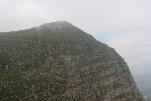
Sgurr an Fhidhleir

Sgurr an Fhidhleir (705 m) is a mountain in the Northwest Highlands of Scotland. It lies in the Coigach area of Ross and Cromarty. Its summit lies atop...

Achduart

Achduart (Gaelic: Achadh Dhubhaird) is a coastal hamlet in Coigach, Wester Ross in northwestern Scotland, now within the Highland council area. It is situated...

Nearby Amenities

Located within 500m of 57.942878,-5.2234784
Source: PGS
Lat/Long: 57.9389128/-5.2233853
Created By: almien_coastlines
Source: PGS
Lat/Long: 57.940321/-5.229104
The data included in this document is from www.openstreetmap.org. The data is made available under ODbL.

Have you been to Isle Martin?

Leave your review of Isle Martin below (or comments, questions and feedback).