Canford, Little

Settlement in Dorset

England

Canford, Little

From Railway to Trailway This trailway was once part of the double-track mainline running from London Waterloo to Weymouth. Bicycles are now the only wheeled vehicles you'll see along here nowadays.
From Railway to Trailway Credit: Peter Kazmierczak

Canford, Little is a picturesque village located in the county of Dorset, England. Situated in the southern part of the country, this idyllic village is known for its charming scenery and rich history. Canford, Little is nestled amongst rolling hills and surrounded by lush green countryside, making it a popular destination for those seeking tranquility and natural beauty.

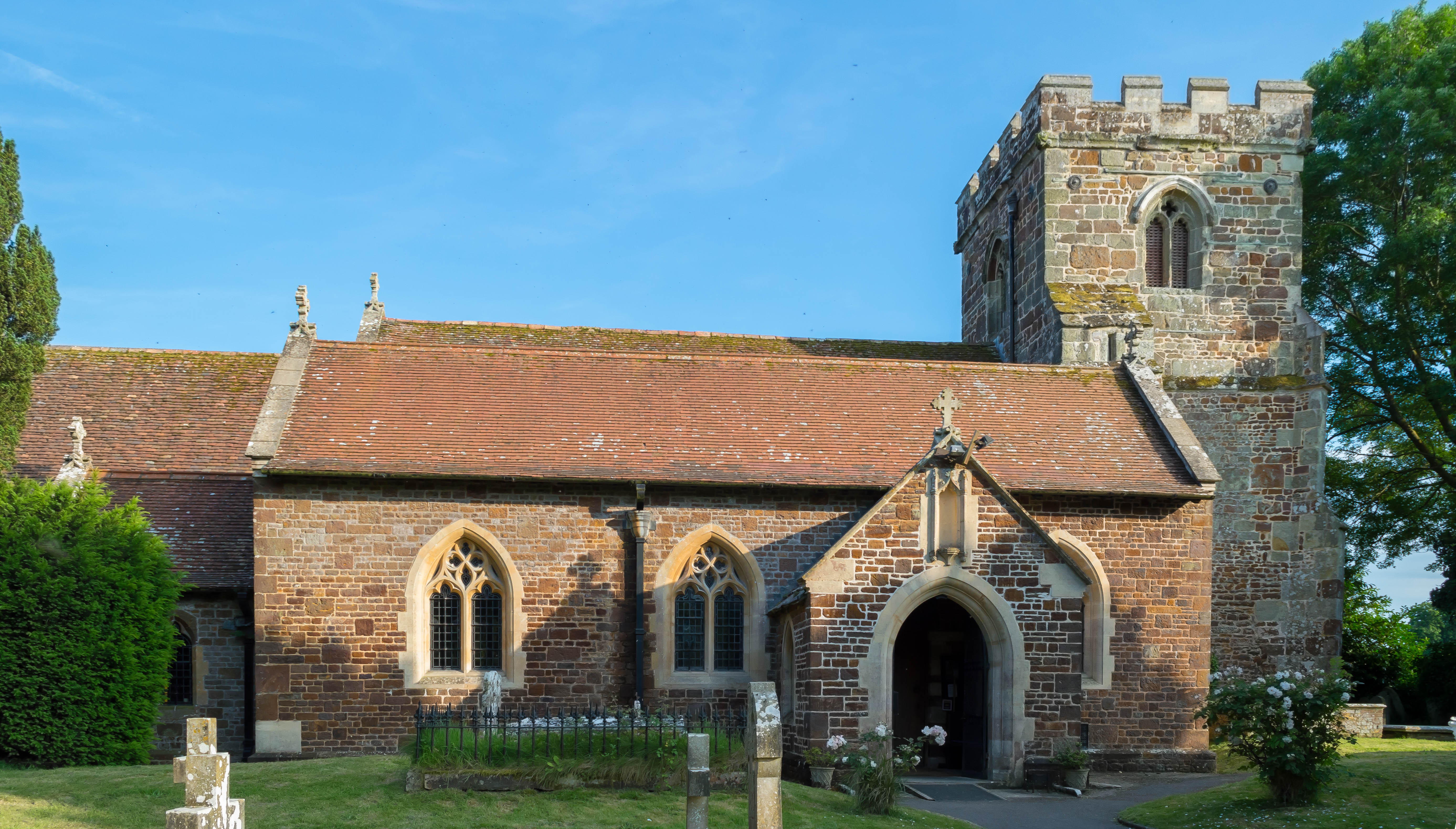
The village is home to a small population, with a tight-knit community that takes pride in preserving its heritage. The architecture in Canford, Little reflects its historical significance, with many traditional thatched-roof cottages and stone buildings still standing today. These structures give the village a timeless appeal, attracting visitors who appreciate its old-world charm.

Canford, Little is also renowned for its proximity to the River Stour, which meanders through the village. The river offers opportunities for boating, fishing, and leisurely walks along its banks. Many visitors come to Canford, Little to enjoy the serene atmosphere and indulge in outdoor activities in the surrounding countryside.

In terms of amenities, Canford, Little boasts a few local shops, including a small grocery store and a traditional pub. While it may not offer extensive amenities, the village's peaceful setting and close-knit community more than compensate for any lack of modern conveniences.

Overall, Canford, Little is a hidden gem in the heart of Dorset, offering visitors a chance to escape the hustle and bustle of city life and immerse themselves in the beauty of the English countryside.

If you have any feedback on the listing, please let us know in the comments section below.

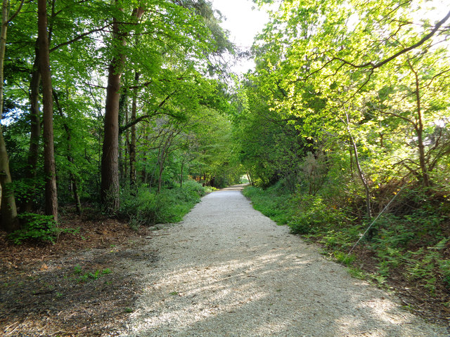
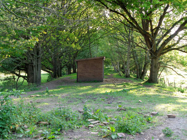
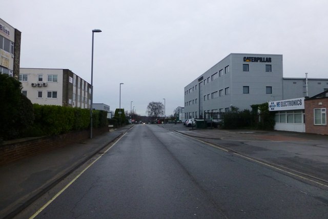
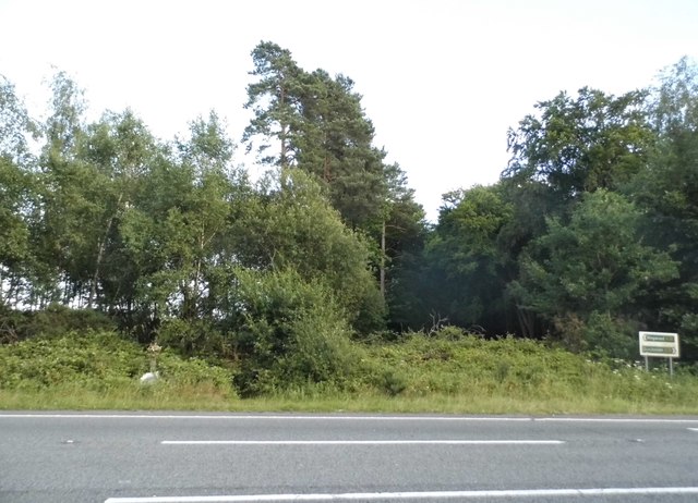
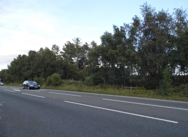
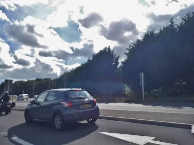
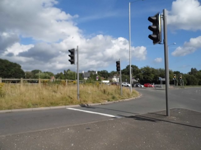
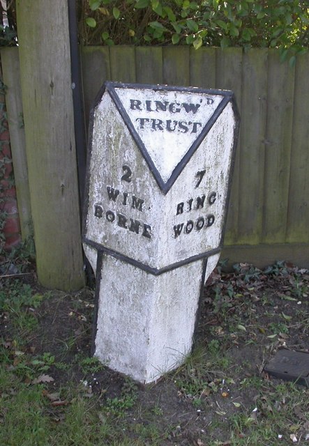
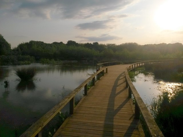
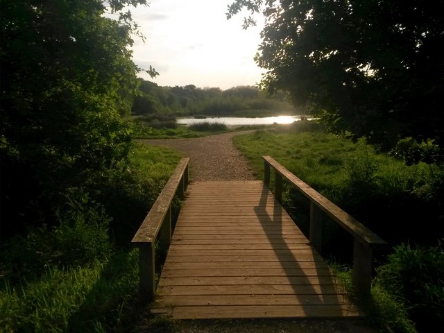
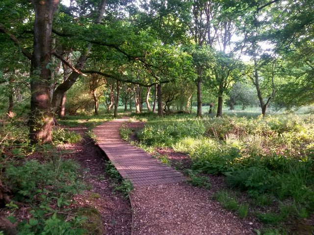
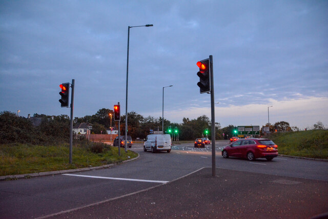
Canford, Little Images

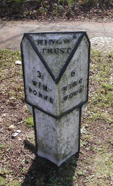
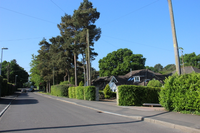
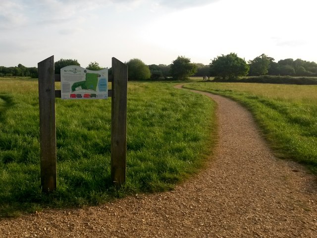
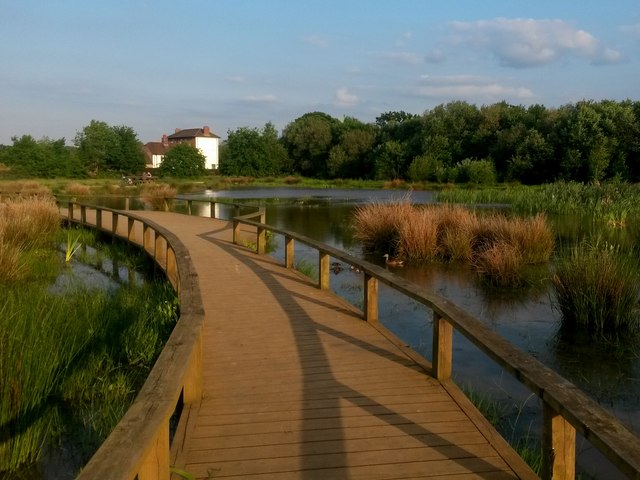
Images are sourced within 2km of 50.796566/-1.934481 or Grid Reference SZ0499. Thanks to Geograph Open Source API. All images are credited.

From Railway to Trailway This trailway was once part of the double-track mainline running from London Waterloo to Weymouth. Bicycles are now the only wheeled vehicles you'll see along here nowadays.
From Railway to Trailway
This trailway was once part of the double-track mainline running from London Waterloo to Weymouth. Bicycles are now the only wheeled vehicles you'll see along here nowadays.
Disused mainline A wooden shed stands in the middle of the formation that was once the mainline railway between London Waterloo and Weymouth. A low embankment is all that remains to remind us of its past history.
Disused mainline
A wooden shed stands in the middle of the formation that was once the mainline railway between London Waterloo and Weymouth. A low embankment is all that remains to remind us of its past history.
Cobham Road, Ferndown Industrial Estate A grey road, on a grey day.
Cobham Road, Ferndown Industrial Estate
A grey road, on a grey day.
Woods by the A31, Ferndown
The A31, Ferndown
The A31, Ferndown
Lotus Elan on the Canford Bottom Roundabout This set of multiple traffic lights has artificially created a constant bottleneck. There is a similar one along the A5 in Dunstable and only a few vehicles can get through each time they go green as the next set is still backed up.

The number plate is Dutch in the old monochrome format and the car is left hand drive.
Lotus Elan on the Canford Bottom Roundabout
This set of multiple traffic lights has artificially created a constant bottleneck. There is a similar one along the A5 in Dunstable and only a few vehicles can get through each time they go green as the next set is still backed up. The number plate is Dutch in the old monochrome format and the car is left hand drive.
The Canford Bottom Roundabout
The Canford Bottom Roundabout It's a series of traffic lights with a roundabout going round them. Guaranteed gridlock at all times.
The Canford Bottom Roundabout
It's a series of traffic lights with a roundabout going round them. Guaranteed gridlock at all times.
Old Milepost by Wimborne Road, Wimborne Minster Cast iron post by the UC road, in parish of FERNDOWN TOWN (EAST DORSET District), Wimborne Road, East of bypass roundabout, by No. 210/212, by the road, on South side of road. Ringwood cast iron post (Trust), erected by the Ringwood, Longham & Leigh turnpike trust in the 19th century. 

Inscription reads:- : 2 / WIM- / BORNE : : RINGW'D / TRUST : : 7 / RING- / WOOD :

Milestone Society National ID: DO_WBRW02.
Old Milepost by Wimborne Road, Wimborne Minster
Cast iron post by the UC road, in parish of FERNDOWN TOWN (EAST DORSET District), Wimborne Road, East of bypass roundabout, by No. 210/212, by the road, on South side of road. Ringwood cast iron post (Trust), erected by the Ringwood, Longham & Leigh turnpike trust in the 19th century. Inscription reads:- : 2 / WIM- / BORNE : : RINGW'D / TRUST : : 7 / RING- / WOOD : Milestone Society National ID: DO_WBRW02.
Old Milepost by Wimborne Road East, west of Ferndown Cast iron post by the UC road, in parish of FERNDOWN TOWN (EAST DORSET District), Wimborne Road, by No. 414, by the road, on South side of road. Ringwood cast iron post (Trust), erected by the Ringwood, Longham & Leigh turnpike trust in the 19th century. 

Inscription reads:- : 3 / WIM- / BORNE : : RINGW'D / TRUST : : 6 / RING- / WOOD :   

Milestone Society National ID: DO_WBRW03
Old Milepost by Wimborne Road East, west of Ferndown
Cast iron post by the UC road, in parish of FERNDOWN TOWN (EAST DORSET District), Wimborne Road, by No. 414, by the road, on South side of road. Ringwood cast iron post (Trust), erected by the Ringwood, Longham & Leigh turnpike trust in the 19th century. Inscription reads:- : 3 / WIM- / BORNE : : RINGW'D / TRUST : : 6 / RING- / WOOD : Milestone Society National ID: DO_WBRW03
Houses on Pilford Heath Rd This part of Wimborne is very leafy and the large gardens often contain some of the large old pine trees that were here before the houses were built.
Houses on Pilford Heath Rd
This part of Wimborne is very leafy and the large gardens often contain some of the large old pine trees that were here before the houses were built.
Colehill: across Bytheway Field Looking westward across this vast, lovely open space from near the Churchmoor Road entrance, on its eastern side.

The information board proclaims it as "a great place for people and wildlife" and on an evening like this it was certainly very popular.

I recall in the early 1980s, as a child, passing the house called Bytheway just along here, and initially thinking it was Welsh!
Colehill: across Bytheway Field
Looking westward across this vast, lovely open space from near the Churchmoor Road entrance, on its eastern side. The information board proclaims it as "a great place for people and wildlife" and on an evening like this it was certainly very popular. I recall in the early 1980s, as a child, passing the house called Bytheway just along here, and initially thinking it was Welsh!
Colehill: across the pond at Bytheway Field The path rather splendidly goes across the northern corner of the wildlife pond in the centre of this fine open space, which has been established in relatively recent years.

It is the first SANG (Suitable Alternative Natural Green Space) in East Dorset district, and includes a self-led orienteering course. It is very well used by dog walkers and equally people just fancying a stroll in the fresh air.

One of the signboards proclaims Bytheway Field as "a great place for people and wildlife" which has a nice ring to it and is perhaps evidenced by the mallard taking her ducklings out for a swim, centre picture.
Colehill: across the pond at Bytheway Field
The path rather splendidly goes across the northern corner of the wildlife pond in the centre of this fine open space, which has been established in relatively recent years. It is the first SANG (Suitable Alternative Natural Green Space) in East Dorset district, and includes a self-led orienteering course. It is very well used by dog walkers and equally people just fancying a stroll in the fresh air. One of the signboards proclaims Bytheway Field as "a great place for people and wildlife" which has a nice ring to it and is perhaps evidenced by the mallard taking her ducklings out for a swim, centre picture.
Colehill: over the pond and into the sun Looking along the path that crosses the pond within Bytheway Field, in the opposite direction to <a href="https://www.geograph.org.uk/photo/5783609">SU0200 : Colehill: across the pond at Bytheway Field</a>.

Bytheway Field is the first SANG (Suitable Alternative Natural Green Space) in East Dorset district, and includes a self-led orienteering course. It is very well used by dog walkers and equally people just fancying a stroll in the fresh air.

One of the signboards proclaims Bytheway Field as "a great place for people and wildlife" which has a nice ring to it.
Colehill: over the pond and into the sun
Looking along the path that crosses the pond within Bytheway Field, in the opposite direction to SU0200 : Colehill: across the pond at Bytheway Field. Bytheway Field is the first SANG (Suitable Alternative Natural Green Space) in East Dorset district, and includes a self-led orienteering course. It is very well used by dog walkers and equally people just fancying a stroll in the fresh air. One of the signboards proclaims Bytheway Field as "a great place for people and wildlife" which has a nice ring to it.
Colehill: small footbridge in Bytheway Field Ahead is the rather lovely wildlife pond. See <a href="https://www.geograph.org.uk/photo/5783609">SU0200 : Colehill: across the pond at Bytheway Field</a> for more discussion on the Field.
Colehill: small footbridge in Bytheway Field
Ahead is the rather lovely wildlife pond. See SU0200 : Colehill: across the pond at Bytheway Field for more discussion on the Field.
Colehill: eastern edge of Leigh Common The Common features several paths - some gravelled and some, where necessary, elevated as a boardwalk - and is mainly woodland with a little open meadow.
Colehill: eastern edge of Leigh Common
The Common features several paths - some gravelled and some, where necessary, elevated as a boardwalk - and is mainly woodland with a little open meadow.
B3073 Wimborne Road West The car is emerging from Old Ham Lane.
B3073 Wimborne Road West
The car is emerging from Old Ham Lane.
Ferndown : The A31 The road meets the B3073 at the roundabout.
Ferndown : The A31
The road meets the B3073 at the roundabout.
Show me another place!

Canford, Little is located at Grid Ref: SZ0499 (Lat: 50.796566, Lng: -1.934481)

Unitary Authority: Dorset

Police Authority: Dorset

What 3 Words

///sleepers.linguists.forensic. Near Ferndown, Dorset

Related Wikis

Hampreston

Hampreston is a small village in the civil parish of Ferndown in East Dorset, southern England. Before 1972, the whole parish took the name of Hampreston...

All Saints Church, Hampreston

All Saints Church is the parish church of Hampreston, Dorset, England. It is a Grade II* listed building. == History == The tower and nave were built in...

Canford School

Canford School is a public school (English fee-charging boarding and day school for pupils aged 13–18). Situated in 300 acres of parkland near to the market...

Canford Magna

Canford Magna is a village in Dorset, England. The village is situated just south of the River Stour and lies between the towns of Wimborne Minster and...

Nearby Amenities

Located within 500m of 50.796566,-1.934481
Post Box
Description: Against large hedge
Post Box Type: lamp
Ref: BH21 35
Ref GB Uprn: 10015372749
Royal Cypher: EIIR
Royal Cypher Wikidata: Q33102113
Lat/Long: 50.7999154/-1.9382125
Power: pole
Lat/Long: 50.8000652/-1.9381169
Material: wood
Poles: bipole
Power: pole
Source: bing
Lat/Long: 50.8001152/-1.9355202
Material: wood
Poles: bipole
Power: pole
Source: bing
Lat/Long: 50.8002001/-1.9329259
Poles: bipole
Power: pole
Source: bing
Lat/Long: 50.8002628/-1.9309142
Riverside Garden Machinery
Check Date: 2022-08-04
Craft: gardener
Fixme: Could do with better tagging, not an actual gardener, just sells/services garden machinery
Phone: +44 1202 870099
Lat/Long: 50.7991789/-1.9387302
Crossing
Crossing: unmarked
Crossing Island: yes
Crossing Markings: no
Tactile Paving: yes
Lat/Long: 50.7969625/-1.9324009
Fixme: continue
Lat/Long: 50.797174/-1.9365616
The data included in this document is from www.openstreetmap.org. The data is made available under ODbL.

Have you been to Canford, Little?

Leave your review of Canford, Little below (or comments, questions and feedback).