Carrs Rock
Island in Pembrokeshire
Wales
Carrs Rock

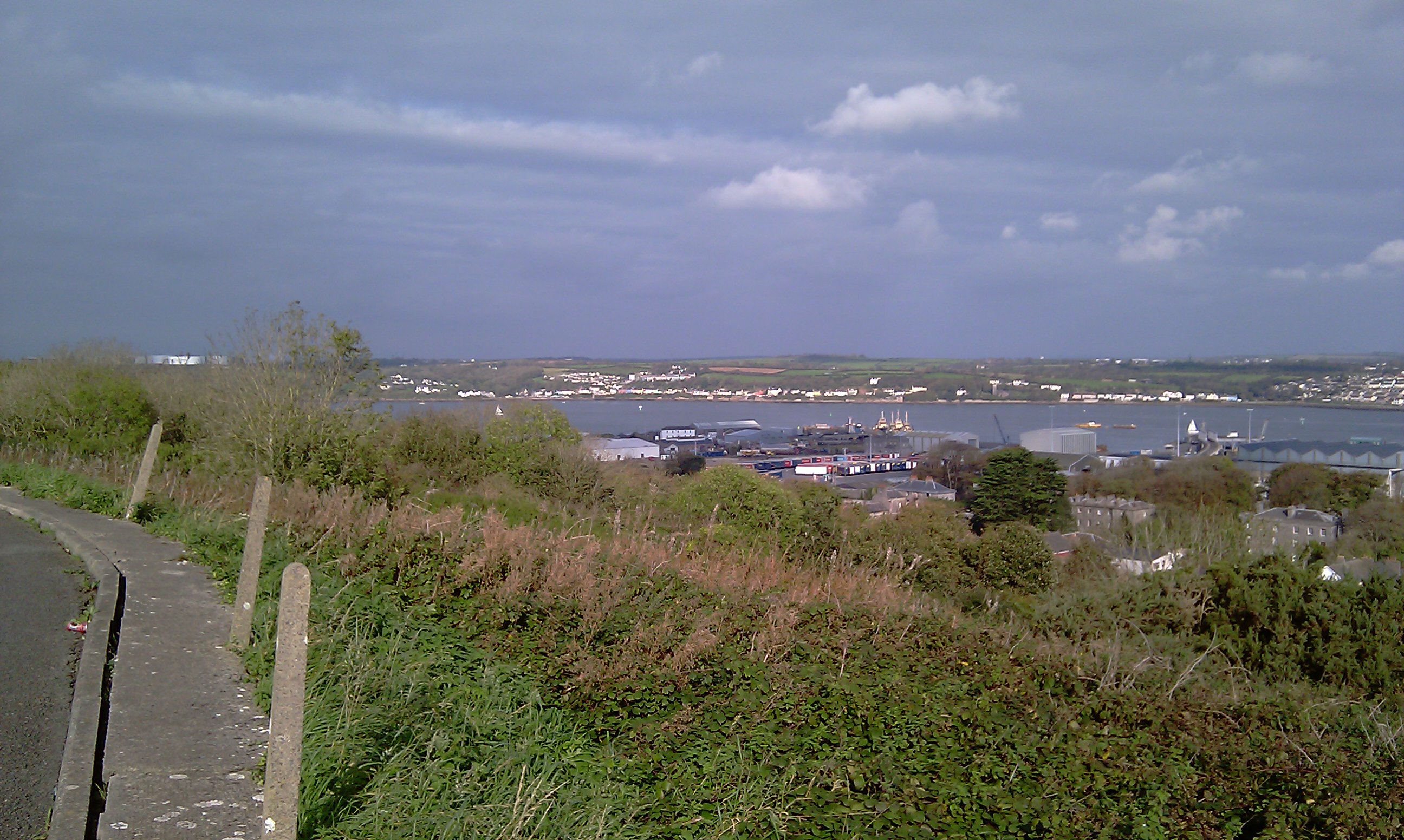
Carrs Rock is a small island located off the coast of Pembrokeshire, Wales. Situated in the Celtic Sea, it is part of the larger group of islands known as the Pembrokeshire Islands. Carrs Rock is approximately 0.3 hectares in size and is mainly composed of rocky cliffs and rugged terrain.
The island is uninhabited and lacks any significant vegetation due to its exposed location and harsh weather conditions. It is a popular spot for birdwatching, with various seabird species such as guillemots, razorbills, and kittiwakes known to nest on its cliffs. Additionally, Carrs Rock is home to a small population of grey seals, which can often be spotted basking on the rocky shores.
Access to Carrs Rock is limited and challenging due to its remote location and lack of landing facilities. The island can only be reached by boat, and visitors must exercise caution when navigating the surrounding waters due to strong currents and rocky outcrops.
The Pembrokeshire Coast National Park manages and protects Carrs Rock and its surrounding marine environment. The island is designated as a Site of Special Scientific Interest (SSSI), highlighting its ecological importance and sensitivity.
Carrs Rock offers visitors a unique opportunity to experience the rugged beauty of the Pembrokeshire coastline and observe its diverse wildlife. However, due to the island's fragile ecosystem, it is essential for visitors to respect the natural environment and adhere to any regulations or restrictions in place to ensure its preservation for future generations.
If you have any feedback on the listing, please let us know in the comments section below.
Carrs Rock Images
Images are sourced within 2km of 51.699113/-4.9601386 or Grid Reference SM9504. Thanks to Geograph Open Source API. All images are credited.


Carrs Rock is located at Grid Ref: SM9504 (Lat: 51.699113, Lng: -4.9601386)
Unitary Authority: Pembrokeshire
Police Authority: Dyfed Powys
What 3 Words
///butternut.staple.fewest. Near Neyland, Pembrokeshire
Nearby Locations
Related Wikis
Pembroke Dockyard
Pembroke Dockyard, originally called Pater Yard, is a former Royal Navy Dockyard in Pembroke Dock, Pembrokeshire, Wales. == History == It was founded...
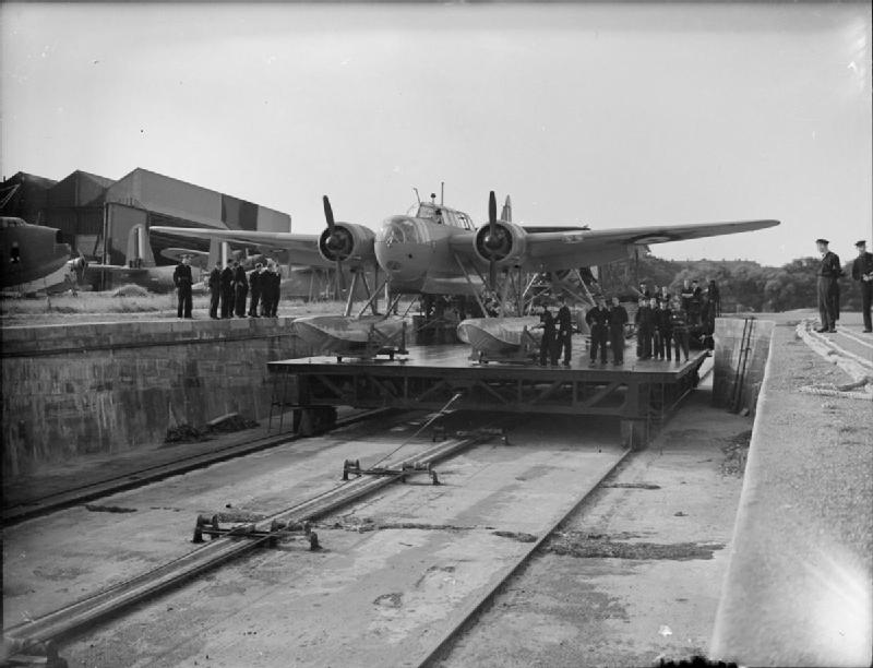
RAF Pembroke Dock
Royal Air Force Pembroke Dock, or more simply RAF Pembroke Dock, was a Royal Air Force Seaplane and Flying boat station located at Pembroke Dock, Pembrokeshire...

Paterchurch Tower
Paterchurch Tower is a Grade I-listed medieval fortified tower in Pembroke Dock, Pembrokeshire, Wales. It received its name from one of the families that...
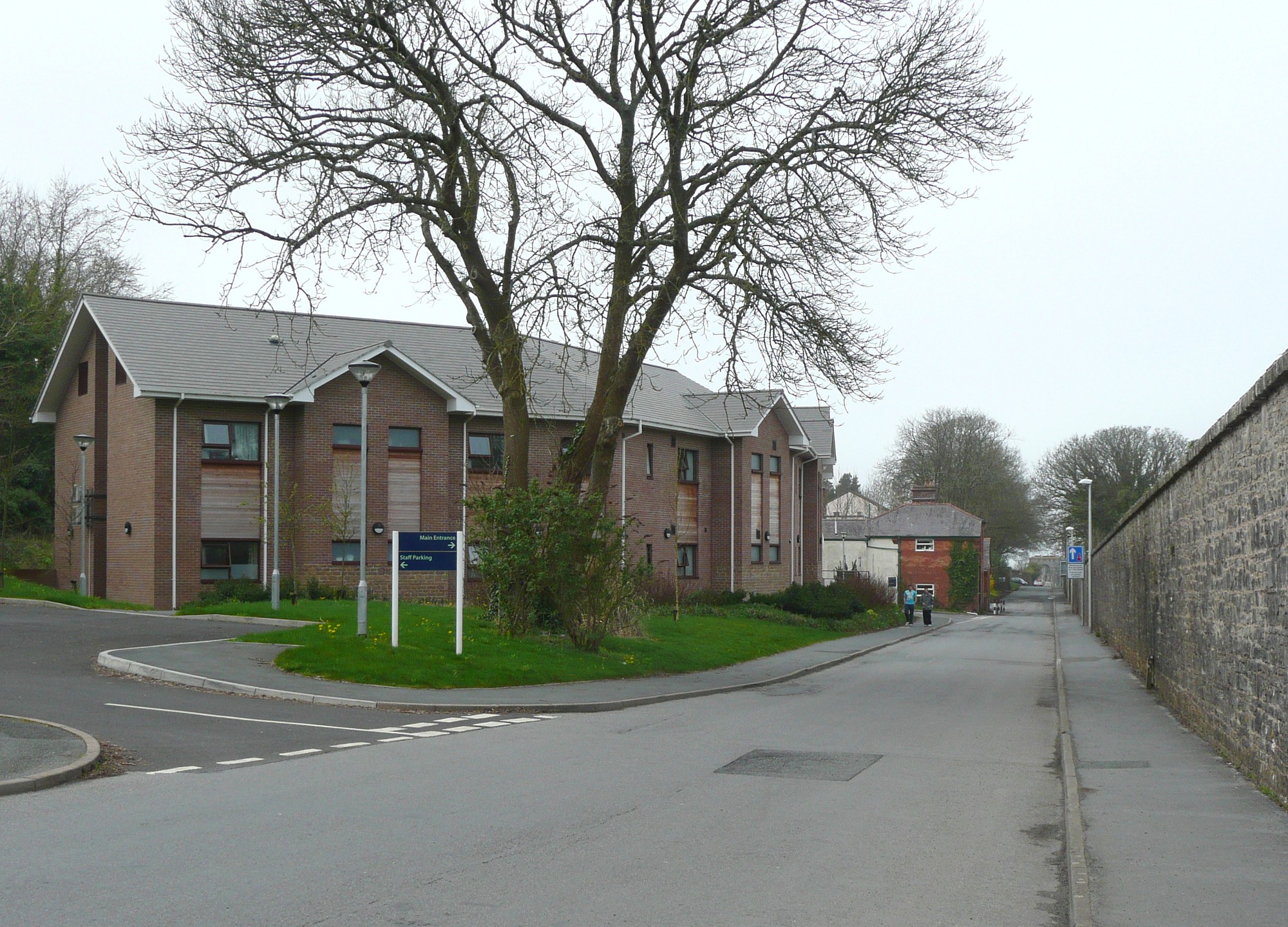
South Pembrokeshire Hospital
South Pembrokeshire Hospital (Welsh: Ysbyty De Sir Benfro) is a community hospital in Pembroke Dock, Pembrokeshire, Wales. It is managed by the Hywel Dda...
Nearby Amenities
Located within 500m of 51.699113,-4.9601386Have you been to Carrs Rock?
Leave your review of Carrs Rock below (or comments, questions and feedback).