Bromley, Little

Settlement in Essex Tendring

England

Bromley, Little

Radio mast just off Hilliards Road. Right on the boundary of Great Bromley and Little Bromley civil parishes. Can also be seen in the <a href="https://www.geograph.org.uk/photo/126105">TM1226 : Pylon</a> photo.
Radio mast Credit: Roger W Haworth

Bromley Little is a small village located in the county of Essex, in the eastern part of England. Situated amidst picturesque countryside, the village offers a serene and idyllic setting for its residents. With a population of approximately 500 people, Bromley Little embodies the essence of a close-knit community.

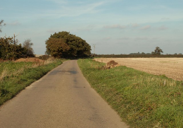
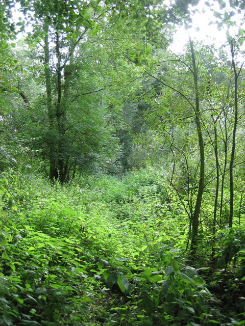
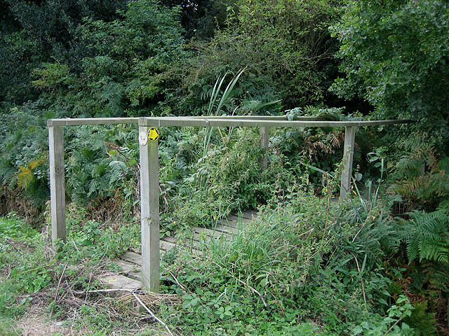
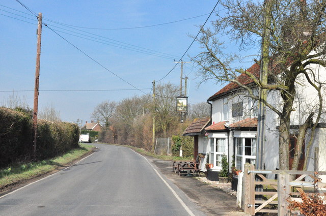
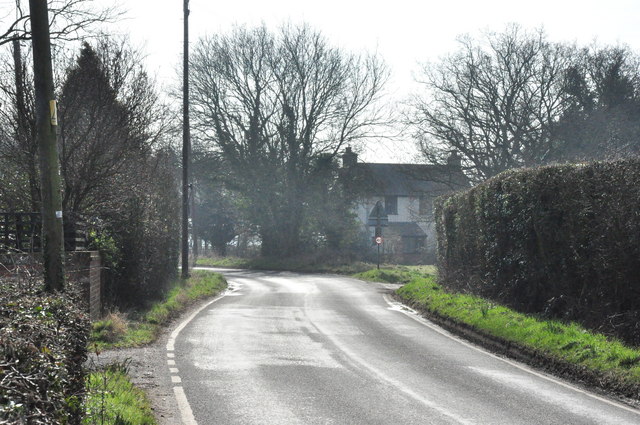
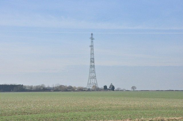
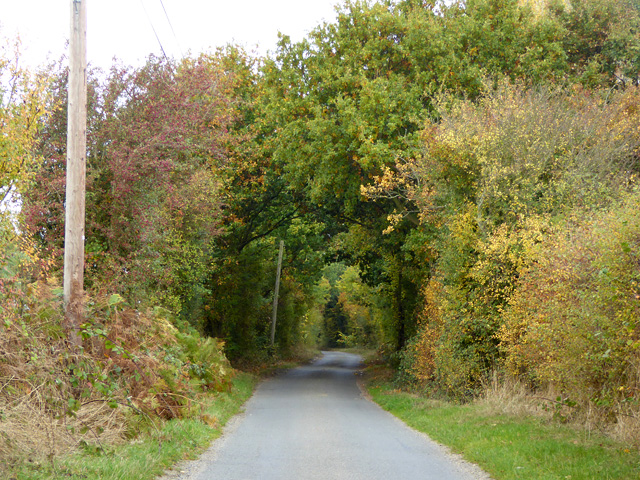
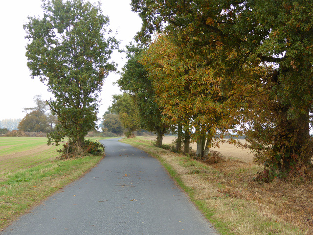
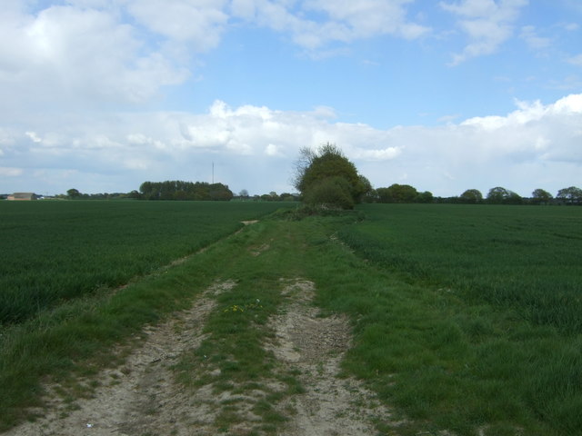
The village is characterized by its charming thatched cottages and historic buildings, showcasing its rich heritage and traditional architecture. The surrounding landscape is dominated by lush green fields, rolling hills, and meandering streams, creating a tranquil atmosphere for locals and visitors alike.

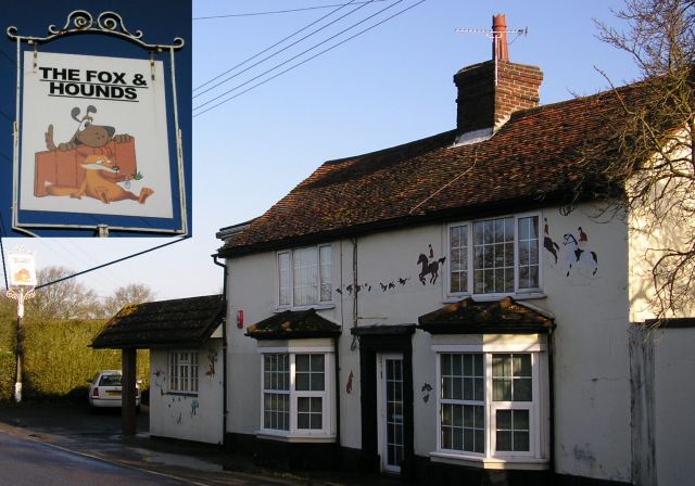
Despite its small size, Bromley Little boasts a number of amenities for its residents. These include a village hall, where various community events and gatherings take place, a local pub that serves as a social hub, and a village shop that caters to the daily needs of its inhabitants. Additionally, the village is served by a primary school, ensuring that young families have access to quality education within the vicinity.

The nearby town of Essex offers a wider range of facilities and services, including supermarkets, healthcare centers, and a variety of shops and restaurants. Bromley Little benefits from its close proximity to this town while maintaining its rural charm and peaceful ambiance.

For those seeking outdoor activities, the surrounding countryside provides ample opportunities for walking, cycling, and exploring nature. The village is also within driving distance of several nature reserves and historic sites, offering residents and visitors the chance to immerse themselves in the beauty and history of the region.

In summary, Bromley Little, Essex, is a quintessential English village that combines natural beauty, a strong sense of community, and a rich cultural heritage. It offers a peaceful and picturesque lifestyle for its residents, while also providing easy access to the amenities and services of the nearby town.

If you have any feedback on the listing, please let us know in the comments section below.

Bromley, Little Images

Images are sourced within 2km of 51.912384/1.050266 or Grid Reference TM0928. Thanks to Geograph Open Source API. All images are credited.

Radio mast just off Hilliards Road. Right on the boundary of Great Bromley and Little Bromley civil parishes. Can also be seen in the <a href="https://www.geograph.org.uk/photo/126105">TM1226 : Pylon</a> photo.
Radio mast
just off Hilliards Road. Right on the boundary of Great Bromley and Little Bromley civil parishes. Can also be seen in the TM1226 : Pylon photo.
Braham Hall off Bentley Road, Little Bromley taken from <a href="https://www.geograph.org.uk/photo/126488">TM0928 : War memorial</a>. <a href="https://www.geograph.org.uk/photo/48878">TM1229 : Manningtree Radio Mast</a> can be seen in the background.
Braham Hall
off Bentley Road, Little Bromley taken from TM0928 : War memorial. TM1229 : Manningtree Radio Mast can be seen in the background.
The Fox and Hounds Fortunately the Hunting Act 2004 <span class="nowrap"><a title="http://www.opsi.gov.uk/acts/acts2004/20040037.htm" rel="nofollow ugc noopener" href="http://www.opsi.gov.uk/acts/acts2004/20040037.htm">Link</a><img style="margin-left:2px;" alt="External link" title="External link - shift click to open in new window" src="https://s1.geograph.org.uk/img/external.png" width="10" height="10"/></span> did not create an offence of "glorification of hunting" otherwise this pub in Bentley Road, Little Bromley might be in trouble.
The Fox and Hounds
Fortunately the Hunting Act 2004 LinkExternal link did not create an offence of "glorification of hunting" otherwise this pub in Bentley Road, Little Bromley might be in trouble.
Part of Chequers Road
Path inside Aldercar Wood close to New Hall Although it is thoroughly signposted, with footbridges provided and maintained, the path through this wood looked distinctly underused in early September 2007.
Path inside Aldercar Wood close to New Hall
Although it is thoroughly signposted, with footbridges provided and maintained, the path through this wood looked distinctly underused in early September 2007.
Footbridge into Aldercar Wood Two footbridges within a couple of hundred metres in this square assist this footpath route but, as <a href="https://www.geograph.org.uk/photo/544075">TM1128 : Path inside Aldercar Wood close to New Hall</a> shows, few people seem to pass this way.
Footbridge into Aldercar Wood
Two footbridges within a couple of hundred metres in this square assist this footpath route but, as TM1128 : Path inside Aldercar Wood close to New Hall shows, few people seem to pass this way.
The Haywain, Little Bromley Looking North past the village pub, now known as the Haywain (was the Fox and Hounds).
The Haywain, Little Bromley
Looking North past the village pub, now known as the Haywain (was the Fox and Hounds).
Bentley Road, Little Bromley Looking south to the Paynes Lane junction.
Bentley Road, Little Bromley
Looking south to the Paynes Lane junction.
Radio Transmitter, Little Bromley Across open fields to the mast.
Radio Transmitter, Little Bromley
Across open fields to the mast.
Hilliards Road Heading north.
Hilliards Road
Heading north.
Bend on Chequers Road The hitherto straight course of the road is continued by a farm track and public bridleway.
Bend on Chequers Road
The hitherto straight course of the road is continued by a farm track and public bridleway.
Chequers Road Heading north after a right-angled bend.
Chequers Road
Heading north after a right-angled bend.
Houses on Bentley Road
Bentley Road Looking south east.
Bentley Road
Looking south east.
Cottage on Bentley Road
Mulberry Lane Track off Bentley Road near Mulley's Farm.
Mulberry Lane
Track off Bentley Road near Mulley's Farm.
Crop field near Mulley's Farm Off Bentley Road.
Crop field near Mulley's Farm
Off Bentley Road.
Bentley Road Looking south east.
Bentley Road
Looking south east.
Show me another place!

Bromley, Little is located at Grid Ref: TM0928 (Lat: 51.912384, Lng: 1.050266)

Administrative County: Essex

District: Tendring

Police Authority: Essex

What 3 Words

///superhero.risking.commander. Near Manningtree, Essex

Related Wikis

Little Bromley

Little Bromley is a village and civil parish in the Tendring district of Essex, England. The name "Bromley" is Old English for "broomy wood/clearing"....

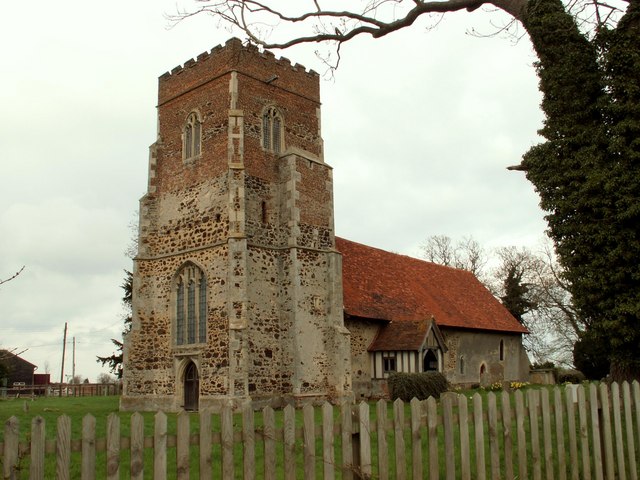
St Mary the Virgin's Church, Little Bromley

St Mary the Virgin's Church is a former Anglican church near the village of Little Bromley, Essex, England. It is recorded in the National Heritage List...

Harwich and North Essex (UK Parliament constituency)

Harwich and North Essex is a constituency represented in the House of Commons of the UK Parliament by Bernard Jenkin of the Conservative Party since its...

Horsley Cross

Horsley Cross is a hamlet in the English county of Essex. Horsley Cross lies on the B1035 road just to the north of the main A120 that connects London...

Horsleycross Street

Horsleycross Street is a hamlet in the English county of Essex. Horsleycross Street lies on the B1035 road about a mile to the north of the main A120 that...

Great Bromley

Great Bromley is a village and civil parish in the Tendring district of Essex, England. It lies 6 kilometres (4 mi) south of Manningtree and 9 kilometres...

Bradfield Heath

Bradfield Heath is a village in Essex, England. It is located in between the A120 road and the B1352 road. It is the location of the former Bradfield Hall...
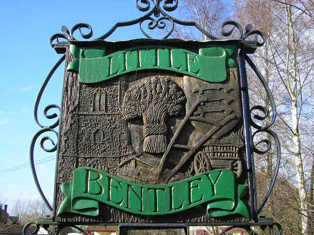
Little Bentley

Little Bentley is a village and civil parish in the Tendring district of Essex, England. It sits on rising ground just to the west of the Holland Brook...

Nearby Amenities

Located within 500m of 51.912384,1.050266
Post Box
Mapillary: 892767477943550
Post Box Mounting: pier
Post Box Type: lamp
Postal Code: CO11 2PP
Ref: CO11 33
Survey Date: 2021-05-29
Lat/Long: 51.9122737/1.0500407
Power: pole
Source: bing
Lat/Long: 51.9164266/1.0527861
Power: pole
Source: bing
Lat/Long: 51.914636/1.0460751
Power: pole
Source: bing
Lat/Long: 51.9142/1.0444848
Power: pole
Source: bing
Lat/Long: 51.9160055/1.0511569
Power: pole
Source: bing
Lat/Long: 51.9155691/1.0495546
Power: pole
Source: bing
Lat/Long: 51.9151283/1.0479322
Historic: memorial
Memorial: war_memorial
Lat/Long: 51.9123017/1.0502474
Little Bromley
Place: village
Lat/Long: 51.9145785/1.0494605
Polling Station: 2010;2017
Lat/Long: 51.9101952/1.054119
Power: pole
Lat/Long: 51.9135564/1.0486545
Power: pole
Lat/Long: 51.9143588/1.0489415
Power: pole
Transformer: distribution
Lat/Long: 51.9150398/1.0491812
Power: pole
Lat/Long: 51.9127439/1.0483734
Power: pole
Transformer: distribution
Lat/Long: 51.9124721/1.0497598
Power: pole
Lat/Long: 51.9124144/1.050078
Power: pole
Lat/Long: 51.9119357/1.0517572
Power: pole
Lat/Long: 51.9114514/1.0532956
Power: pole
Lat/Long: 51.9103444/1.053595
Power: pole
Lat/Long: 51.9096/1.053832
Power: pole
Lat/Long: 51.9086209/1.053757
The data included in this document is from www.openstreetmap.org. The data is made available under ODbL.

Have you been to Bromley, Little?

Leave your review of Bromley, Little below (or comments, questions and feedback).