Bristol, Little
Settlement in Gloucestershire
England
Bristol, Little
Bristol, Little is a charming village located in the county of Gloucestershire, England. Situated on the edge of the Cotswold Hills, this picturesque settlement is nestled in a serene countryside setting, offering residents and visitors a tranquil escape from the bustling cities.
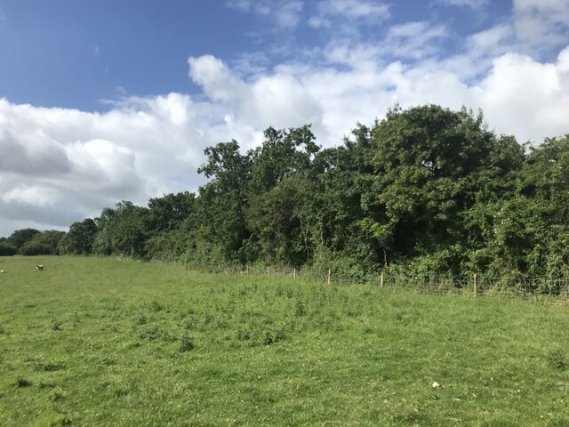
The village is known for its stunning natural beauty, with rolling hills, lush green fields, and meandering streams that add to its idyllic charm. Bristol, Little is renowned for its traditional stone cottages, which line the narrow streets, creating a postcard-worthy scene. Many of these historic buildings date back centuries and are well-preserved, adding to the village's rich heritage.
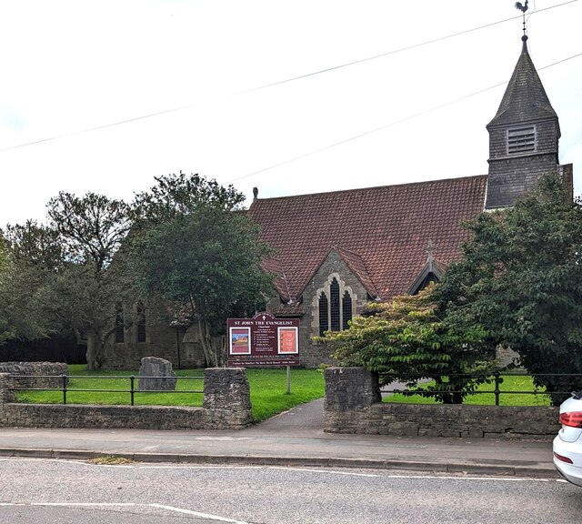
Despite its small size, Bristol, Little boasts a close-knit community that takes pride in maintaining its rural traditions. The village is home to a quaint parish church, which serves as a focal point for religious and social gatherings. There are also a few local shops and amenities that cater to the needs of the residents.
For nature enthusiasts, Bristol, Little offers an abundance of outdoor activities. The surrounding countryside provides numerous walking trails, cycling routes, and picnic spots, allowing visitors to immerse themselves in the region's natural splendor. Additionally, the nearby Cotswold Area of Outstanding Natural Beauty offers breathtaking vistas and opportunities for exploring the diverse flora and fauna.
Overall, Bristol, Little is a charming village that offers a peaceful retreat amidst the picturesque Gloucestershire countryside. With its rich history, stunning landscapes, and thriving community, it is an ideal destination for those seeking a taste of rural England.
If you have any feedback on the listing, please let us know in the comments section below.
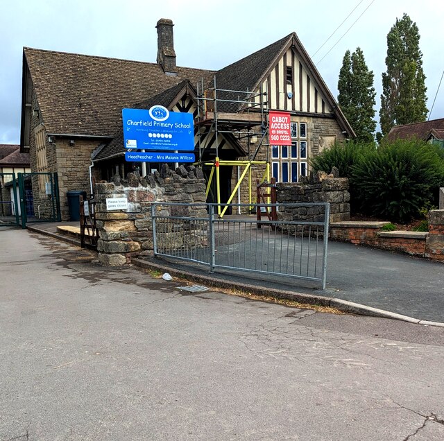
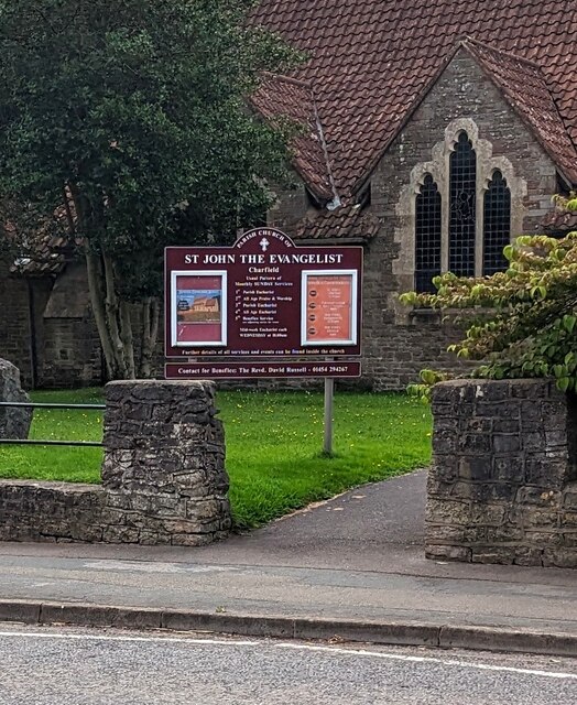
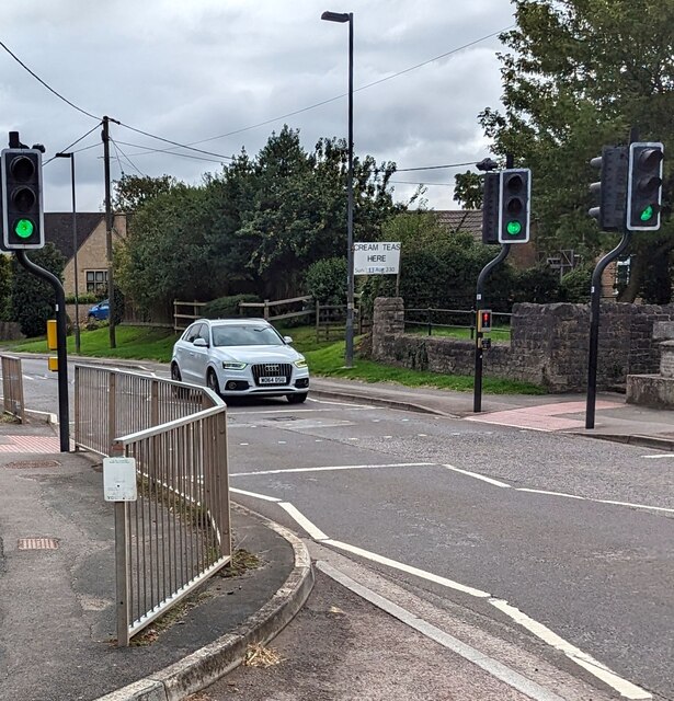
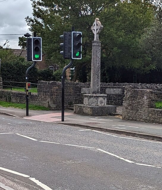
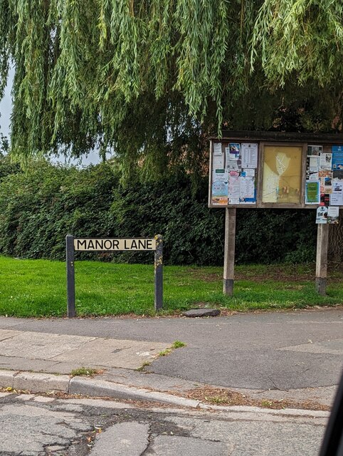
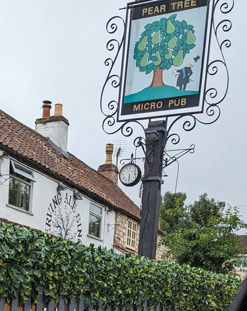
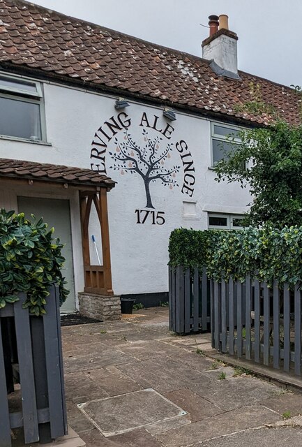
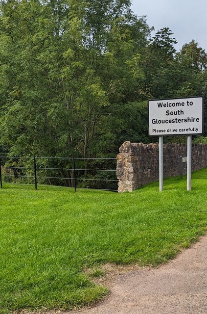
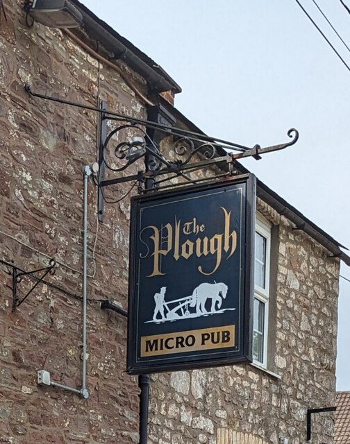
Bristol, Little Images
Images are sourced within 2km of 51.618992/-2.397904 or Grid Reference ST7291. Thanks to Geograph Open Source API. All images are credited.


Bristol, Little is located at Grid Ref: ST7291 (Lat: 51.618992, Lng: -2.397904)
Unitary Authority: South Gloucestershire
Police Authority: Avon and Somerset
What 3 Words
///advising.snowballs.fanfare. Near Charfield, Gloucestershire
Nearby Locations
Related Wikis

St James' Church, Charfield
St James' Church is a historic Anglican church at Churchend in the village of Charfield, Gloucestershire, England and is under the care of The Churches...
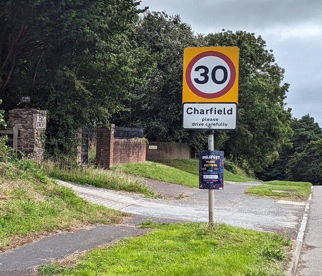
Charfield
Charfield is a village and civil parish in Gloucestershire, England, south-west of Wotton-under-Edge near the Little Avon River and the villages of Falfield...

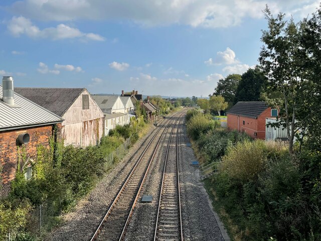
Charfield railway station
Charfield railway station served the village of Charfield in South Gloucestershire, England. The station was on the Bristol and Gloucester Railway, originally...

Charfield railway disaster
The Charfield railway disaster was a fatal train crash which occurred on 13 October 1928 in the village of Charfield in the English county of Gloucestershire...
Cullimore's Quarry
Cullimore's Quarry (grid reference ST721927) is a 0.9 hectare geological Site of Special Scientific Interest near the village of Charfield, South Gloucestershire...
Wickwar railway station
Wickwar railway station served the village of Wickwar in South Gloucestershire, England. The station was on the Bristol and Gloucester Railway, originally...

Slickstones Quarry, Cromhall
Slickstones Quarry, Cromhall (grid reference ST704916) is a 2.7 hectare geological Site of Special Scientific Interest near the village of Cromhall, South...

Kingswood Abbey
Kingswood Abbey was a Cistercian abbey, located in the village of Kingswood near Wotton-under-Edge, Gloucestershire, England. The abbey was demolished...
Nearby Amenities
Located within 500m of 51.618992,-2.397904Have you been to Bristol, Little?
Leave your review of Bristol, Little below (or comments, questions and feedback).