Carreg y Wrach
Island in Pembrokeshire
Wales
Carreg y Wrach
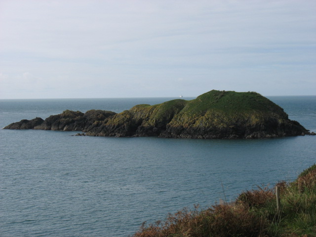
Carreg y Wrach is a small island located off the coast of Pembrokeshire in Wales. The name Carreg y Wrach translates to "Witch's Rock" in English, which is believed to have originated from the island's peculiar rock formation resembling a witch's profile.
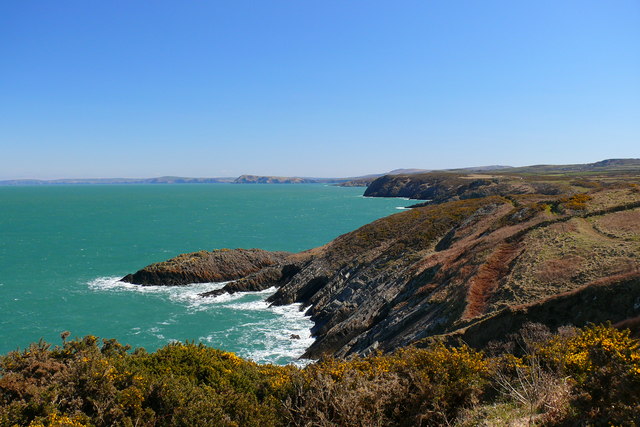
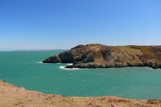
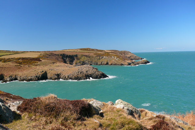
The island is accessible only by boat, and it is approximately 0.5 hectares in size. It is situated about 250 meters from the mainland and is surrounded by rugged cliffs and rocky shores. The island is a popular destination for birdwatching enthusiasts due to its diverse bird population, including gulls, cormorants, and puffins.
Carreg y Wrach is also known for its rich marine life, with seals often spotted in the surrounding waters. The island's rocky terrain makes it a challenging yet rewarding spot for climbers and adventurers looking to explore its natural beauty. The jagged cliffs offer stunning views of the Welsh coastline, making it a favorite spot for photographers and nature lovers.
The island's isolation and natural beauty make it an ideal location for those seeking tranquility and a connection with nature. However, it is important to note that visitors should be cautious when exploring the island, as the terrain can be treacherous and slippery.
Overall, Carreg y Wrach is a unique and picturesque island that offers visitors a chance to escape the hustle and bustle of daily life and immerse themselves in the rugged beauty of the Pembrokeshire coast.
If you have any feedback on the listing, please let us know in the comments section below.
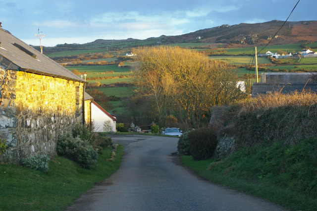
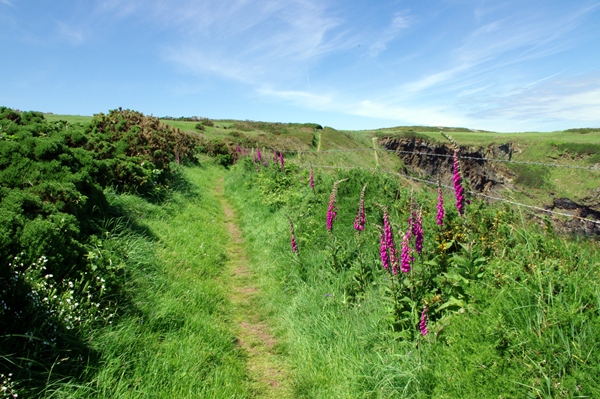
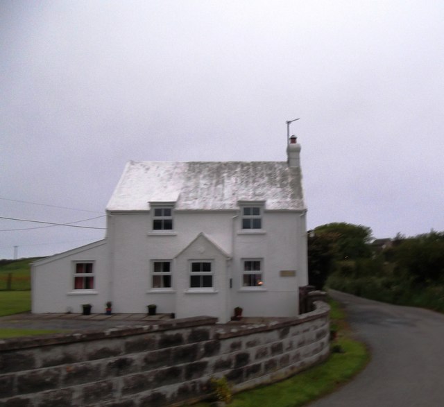
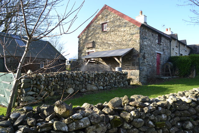
Carreg y Wrach Images
Images are sourced within 2km of 52.030446/-5.0705675 or Grid Reference SM8941. Thanks to Geograph Open Source API. All images are credited.
Carreg y Wrach is located at Grid Ref: SM8941 (Lat: 52.030446, Lng: -5.0705675)
Unitary Authority: Pembrokeshire
Police Authority: Dyfed Powys
What 3 Words
///covertly.swear.heartache. Near Goodwick, Pembrokeshire
Nearby Locations
Related Wikis
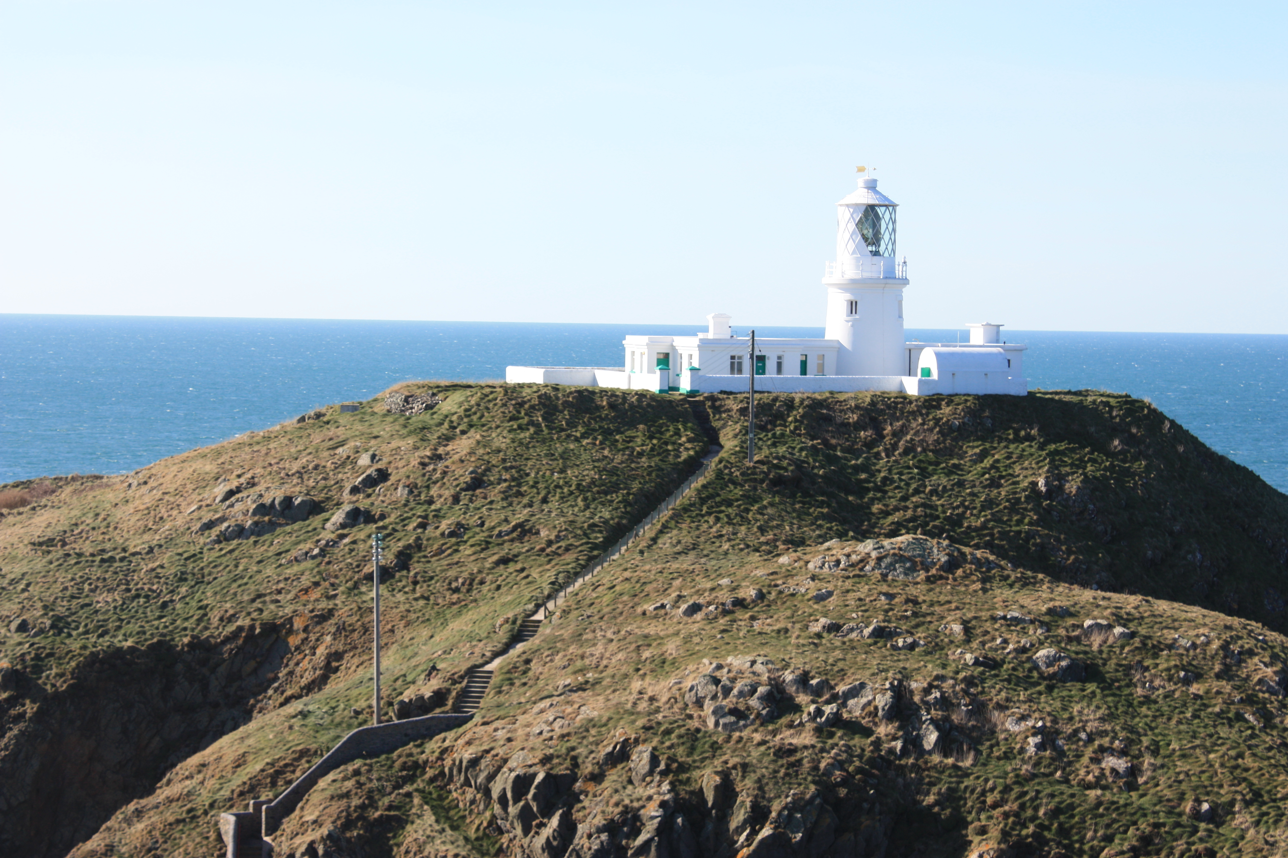
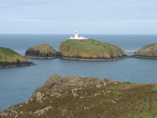
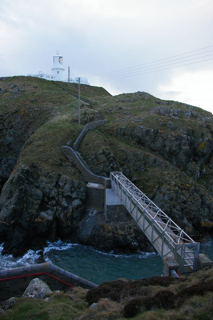
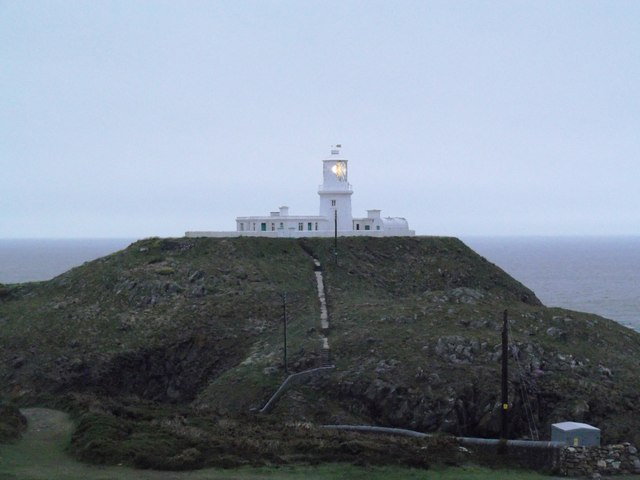
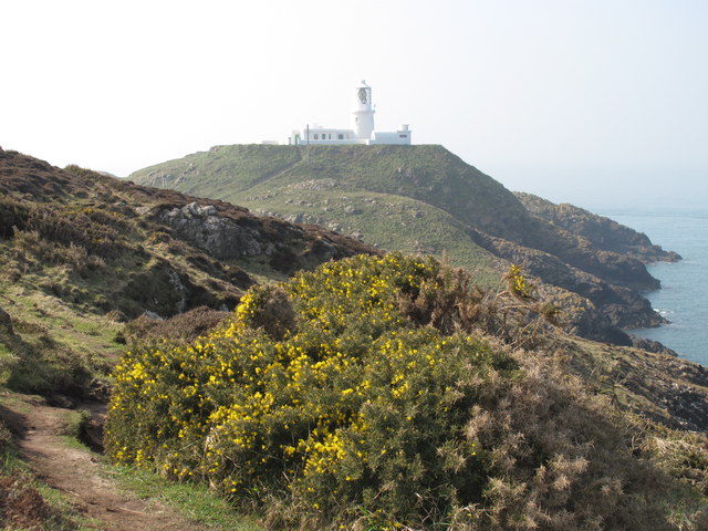
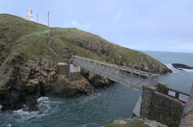
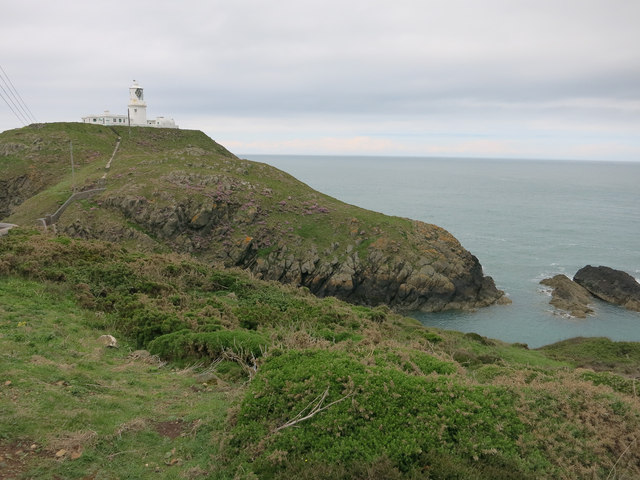
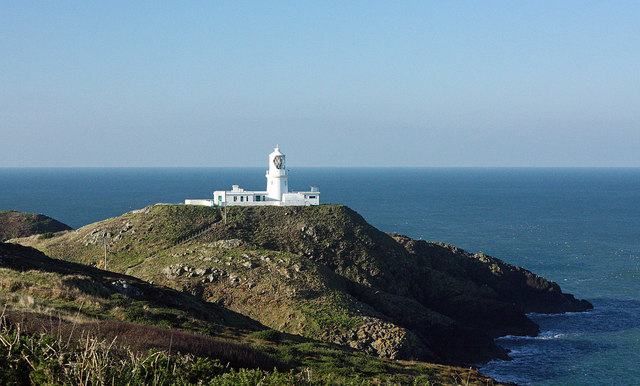
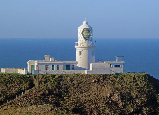
Strumble Head Lighthouse
Strumble Head Lighthouse stands on Ynys Meicel (from Welsh: St. Michael's Island), also known as Strumble Head, a rocky island at the northwest corner...

Strumble Head
Strumble Head (Welsh: Pen Caer,Trwyn-câr, Pen Strwmbl) is a rocky headland in the community of Pencaer in Pembrokeshire, Wales, within the Pembrokeshire...

Calburga
Calburga was a Canadian barque, the last Canadian-built square-rigger of large tonnage. She was built in 1890 at South Maitland, Nova Scotia by local shipbuilder...

Strumble Head - Llechdafad Cliffs
Strumble Head - Llechdafad Cliffs is a Site of Special Scientific Interest (SSSI) in Pembrokeshire, South Wales. It has been designated as a SSSI since...
Nearby Amenities
Located within 500m of 52.030446,-5.0705675Have you been to Carreg y Wrach?
Leave your review of Carreg y Wrach below (or comments, questions and feedback).