Little Brickhill
Settlement in Buckinghamshire
England
Little Brickhill

Little Brickhill is a small village located in the county of Buckinghamshire, England. Situated approximately 5 miles southeast of Milton Keynes, it is nestled in the picturesque countryside and forms part of the civil parish of Great Brickhill. With a population of around 500 residents, Little Brickhill exudes a charming and peaceful atmosphere.
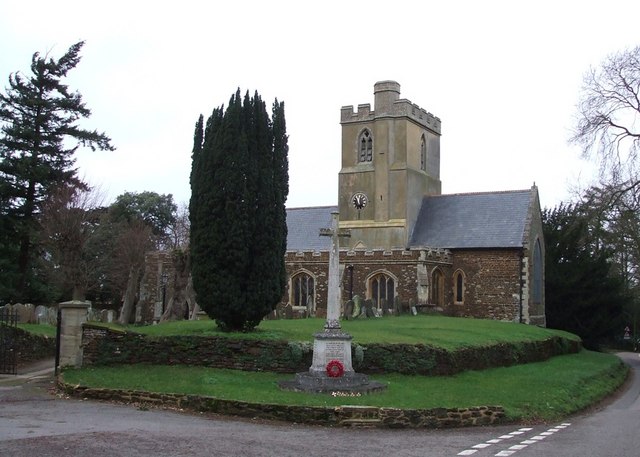
The village is known for its rich history, dating back to medieval times. St Mary's Church, a Grade II listed building, stands proudly in the heart of the village and is a testament to its historical significance. The church features a 13th-century tower and a beautiful stained glass window, attracting visitors interested in architectural marvels.
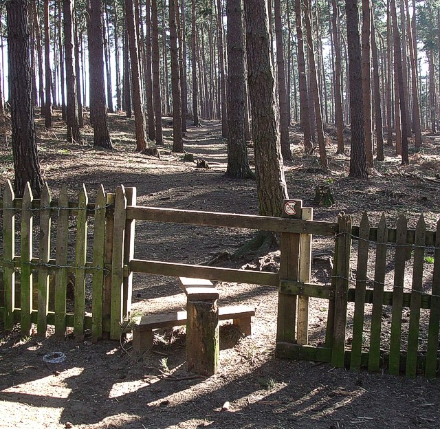
Surrounded by rolling hills and lush green fields, Little Brickhill offers a tranquil environment for residents and visitors alike. The area is popular with outdoor enthusiasts who can explore the nearby Woburn Abbey Deer Park, a vast and stunning parkland offering scenic walks and wildlife spotting opportunities.
Despite its small size, the village has a few amenities to cater to the needs of its residents. These include a local pub, The Three Locks, known for its traditional food and warm hospitality. Little Brickhill also benefits from its proximity to Milton Keynes, where residents can access a wider range of amenities, including shops, restaurants, and leisure facilities.
Overall, Little Brickhill is a charming village that offers a peaceful retreat from the hustle and bustle of nearby urban areas. Its historical significance and scenic surroundings make it an appealing destination for those seeking a slice of rural English life.
If you have any feedback on the listing, please let us know in the comments section below.
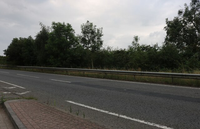
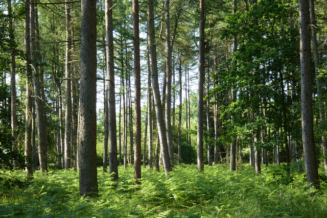
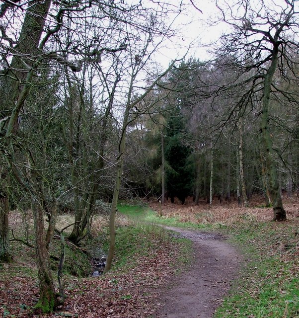
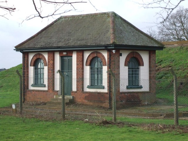
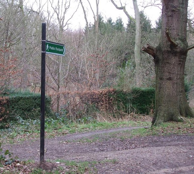
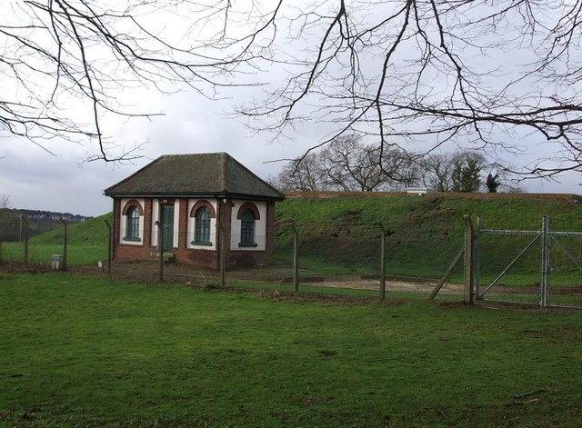
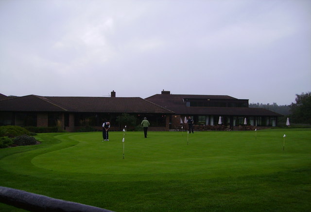
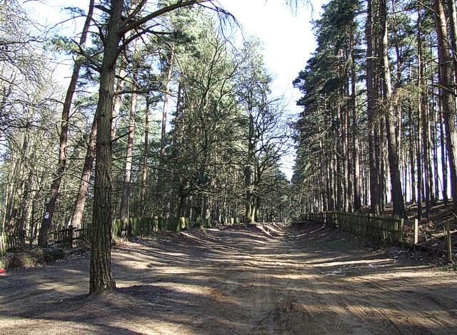
Little Brickhill Images
Images are sourced within 2km of 51.983082/-0.676732 or Grid Reference SP9032. Thanks to Geograph Open Source API. All images are credited.


Little Brickhill is located at Grid Ref: SP9032 (Lat: 51.983082, Lng: -0.676732)
Unitary Authority: Milton Keynes
Police Authority: Thames Valley
What 3 Words
///voted.smiles.ships. Near Bow Brickhill, Buckinghamshire
Nearby Locations
Related Wikis

Little Brickhill
Little Brickhill is a village and civil parish in the unitary authority area of the City of Milton Keynes, Buckinghamshire, England. Located immediately...

2016 Women's British Open
The 2016 Ricoh Women's British Open was played 28–31 July in England at the Woburn Golf and Country Club near Milton Keynes, Buckinghamshire, northwest...
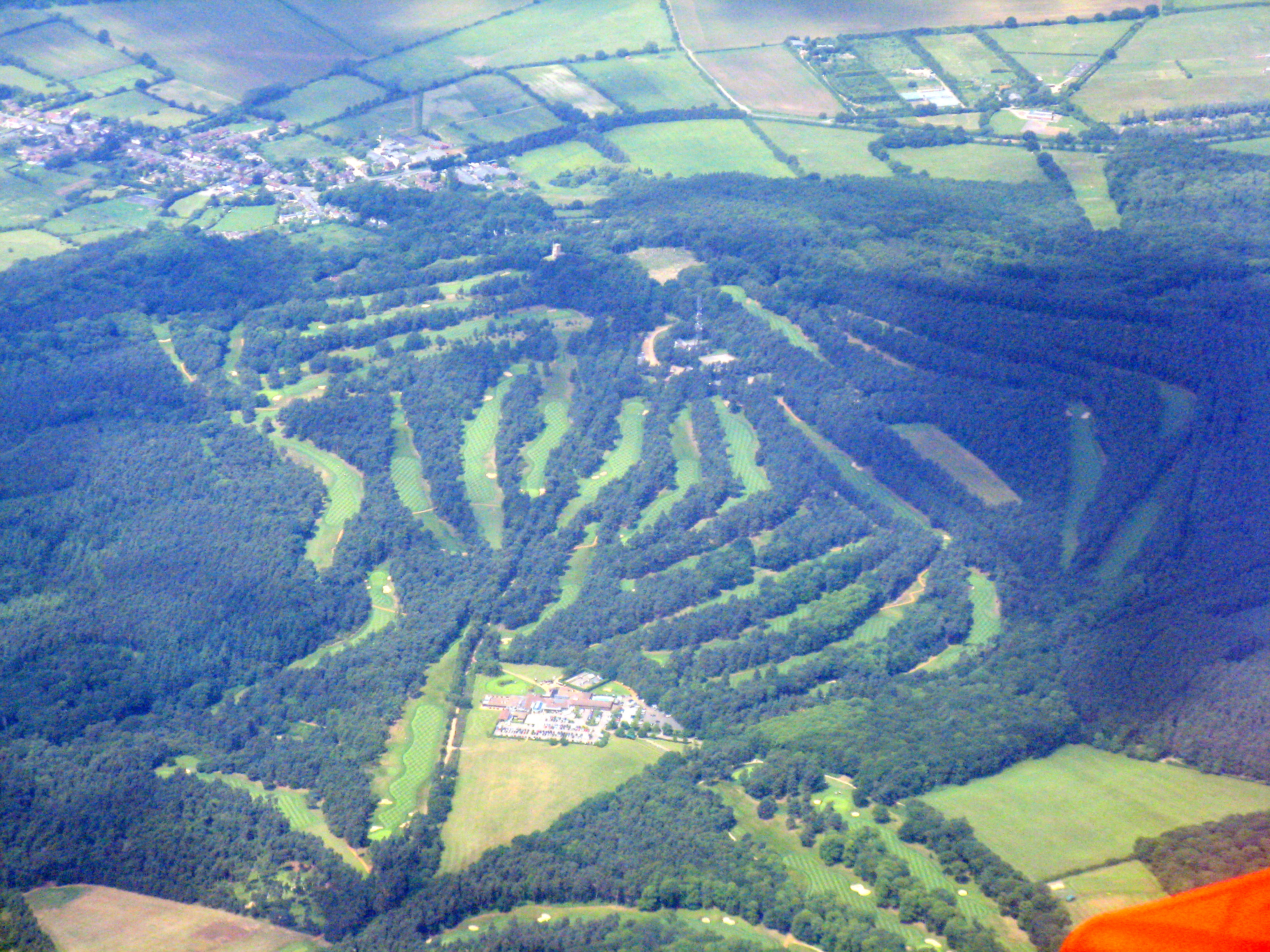
Woburn Golf and Country Club
Woburn Golf Club is a golf club in England located in Little Brickhill, near Milton Keynes within the county of Bedfordshire, about fifty miles (80 km...
2019 Women's British Open
The 2019 AIG Women's British Open was played from 1–4 August in England at Woburn Golf Club in Milton Keynes, Buckinghamshire, fifty miles (80 km) northwest...
St Mary the Virgin, Great Brickhill
St Mary the Virgin's Church, Great Brickhill is a Grade II* listed parish church in the Church of England in Great Brickhill, Buckinghamshire. == History... ==

All Saints Church, Bow Brickhill
All Saints’ Church, Bow Brickhill is a Grade II* listed parish church in the Church of England in Bow Brickhill, Buckinghamshire, to the south-east of...
Bow Brickhill
Bow Brickhill is a village and civil parish in the unitary authority area of the City of Milton Keynes, Buckinghamshire, England. It is bounded to the...
Great Brickhill
Great Brickhill is a village and civil parish in the unitary authority area of Buckinghamshire, England. It is on the border with the City of Milton Keynes...
Nearby Amenities
Located within 500m of 51.983082,-0.676732Have you been to Little Brickhill?
Leave your review of Little Brickhill below (or comments, questions and feedback).