Triple Stone

Island in Pembrokeshire

Wales

Triple Stone

Stepping Stones, Sandy Farm, Pembrokeshire Looking north up the estuary, make sure you get there at low tide to see and use the stepping stones.
Stepping Stones, Sandy Farm, Pembrokeshire Credit: Julian Dowse

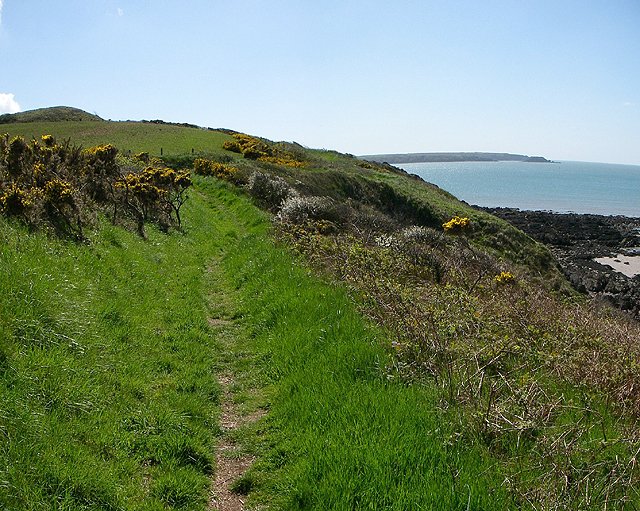
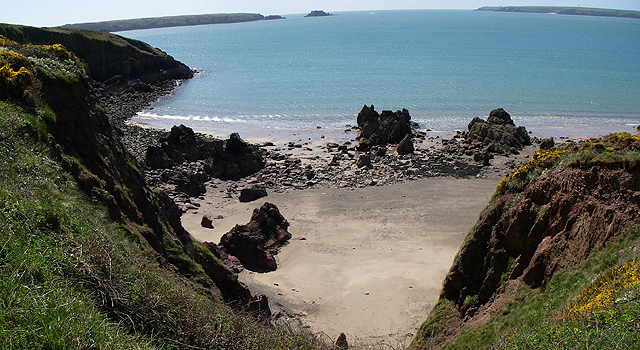
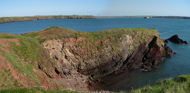
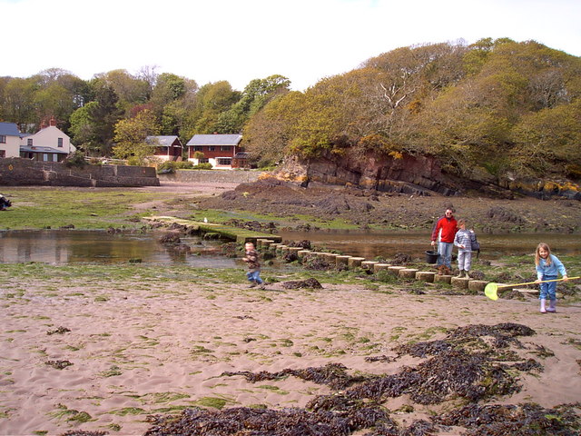
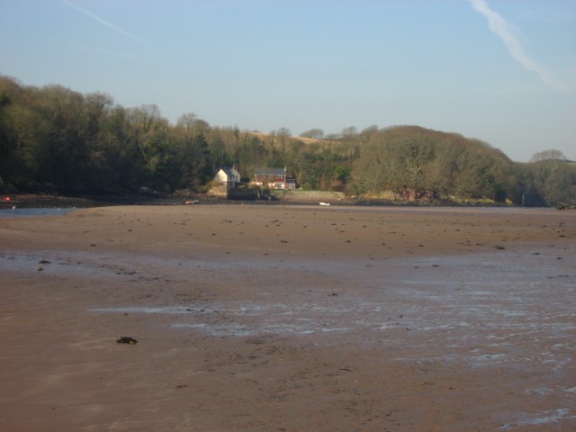
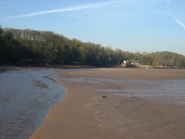
Triple Stone is a small uninhabited island located off the coast of Pembrokeshire, Wales. Also known as Ynys Tair, it is situated in St Bride's Bay, approximately 1.5 kilometers from the mainland. The island is part of the Pembrokeshire Coast National Park, renowned for its stunning natural beauty and diverse wildlife.

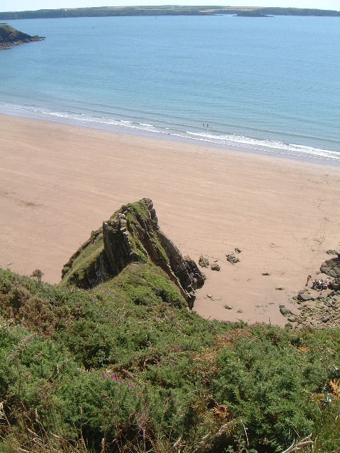
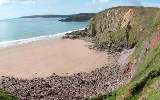
Triple Stone is characterized by its three prominent rock stacks, which give the island its name. These stacks are composed of sandstone and rise dramatically from the surrounding sea. The tallest stack stands at approximately 20 meters high, creating a striking and picturesque sight.

The island is accessible by boat, either through privately organized trips or by kayak, and is a popular destination for nature enthusiasts and adventure seekers alike. The surrounding waters of Triple Stone are home to a rich marine ecosystem, making it a haven for snorkeling and diving enthusiasts who can explore the vibrant underwater world teeming with marine life.

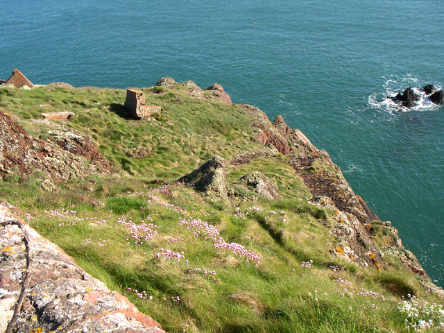
Visitors to Triple Stone can also enjoy birdwatching opportunities, as the island is a known breeding ground for seabirds such as razorbills, guillemots, and kittiwakes. The cliffs and caves provide nesting sites for these birds, creating a unique and important habitat.

Due to its remote and secluded location, Triple Stone offers a tranquil and serene environment, ideal for those seeking to escape the hustle and bustle of everyday life. Its natural beauty, rugged coastline, and abundant wildlife make it a hidden gem in the Pembrokeshire landscape, attracting visitors from near and far.

If you have any feedback on the listing, please let us know in the comments section below.
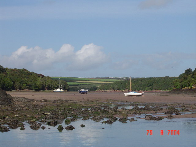
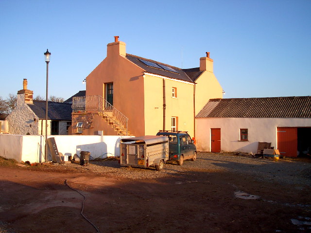
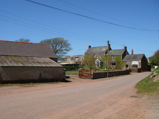
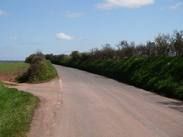
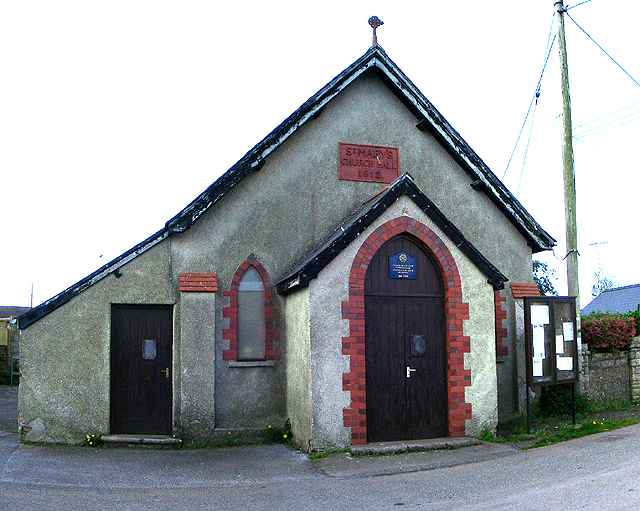
Triple Stone Images

Images are sourced within 2km of 51.721977/-5.1021739 or Grid Reference SM8507. Thanks to Geograph Open Source API. All images are credited.

Stepping Stones, Sandy Farm, Pembrokeshire Looking north up the estuary, make sure you get there at low tide to see and use the stepping stones.
Stepping Stones, Sandy Farm, Pembrokeshire
Looking north up the estuary, make sure you get there at low tide to see and use the stepping stones.
Lindsway Bay Lindsway Bay on the Pembrokeshire Coastal Path. Situated between Monk Haven and Sandy Haven.
Lindsway Bay
Lindsway Bay on the Pembrokeshire Coastal Path. Situated between Monk Haven and Sandy Haven.
Upper Neeston Farm Upper Neeston Farm is a typical small Pembrokeshire farm raising lambs and pigs and  to be viable now has a bunkhouse for tourists.
Upper Neeston Farm
Upper Neeston Farm is a typical small Pembrokeshire farm raising lambs and pigs and to be viable now has a bunkhouse for tourists.
St. Ishmael's - Lindsway Bay Beautiful beach. Taken looking west.
St. Ishmael's - Lindsway Bay
Beautiful beach. Taken looking west.
Bicton Bicton farm.
Bicton
Bicton farm.
Road Junction Turn left for Haverfordwest.
Road Junction
Turn left for Haverfordwest.
Church Aenon Baptist Church Sandyhill.
Church
Aenon Baptist Church Sandyhill.
Road Looking north. When the tide is in at Sandy Haven this is the alternative route on the Pembrokeshire coast path.
Road
Looking north. When the tide is in at Sandy Haven this is the alternative route on the Pembrokeshire coast path.
Church Hall St.Mary's Church Hall built 1912 in the village of Herbrandston.
Church Hall
St.Mary's Church Hall built 1912 in the village of Herbrandston.
Coast Path Looking south along the Pembrokeshire coast path. 
The headland on the horizon is the Angle peninsula.
Coast Path
Looking south along the Pembrokeshire coast path. The headland on the horizon is the Angle peninsula.
Kilroom Bay I'd love to know where this name comes from.
Kilroom Bay
I'd love to know where this name comes from.
Car Park The car park for the site workers at the controversial LPG plant being built in the Pembrokeshire National Park.
Car Park
The car park for the site workers at the controversial LPG plant being built in the Pembrokeshire National Park.
Church Herbranston church.
Church
Herbranston church.
Little Castle Head The headland called Little Castle head.

The 'lump' left of centre is the 'Fort'.
Little Castle Head
The headland called Little Castle head. The 'lump' left of centre is the 'Fort'.
Great Castle Head Great Castle Head from the bottom corner of the wall that is just inside this grid square at SM 847 059. I think the brickwork that can be seen must be the remains of a pill box.
Great Castle Head
Great Castle Head from the bottom corner of the wall that is just inside this grid square at SM 847 059. I think the brickwork that can be seen must be the remains of a pill box.
The crab bridge Sandy Haven Pill This bridge and stepping stones on the coast path have been used by generations of children to collect crabs. The bridge is only above the tide for around 2 hours either side of low tide.
The crab bridge Sandy Haven Pill
This bridge and stepping stones on the coast path have been used by generations of children to collect crabs. The bridge is only above the tide for around 2 hours either side of low tide.
Sandy Haven from the beach
Sandy Haven Pill reaching the sea.
Show me another place!

Triple Stone is located at Grid Ref: SM8507 (Lat: 51.721977, Lng: -5.1021739)

Unitary Authority: Pembrokeshire

Police Authority: Dyfed Powys

What 3 Words

///compiler.massing.middle. Near Herbrandston, Pembrokeshire

Related Wikis

Herbrandston

Herbrandston is a village, parish and community on the north side of the River Cleddau, in Pembrokeshire, Wales. It is located to the west of Milford Haven...

South Hook LNG terminal

South Hook LNG terminal is an LNG regasification terminal near Milford Haven and is the largest LNG terminal in Europe. Together with the smaller Dragon...

Esso Refinery, Milford Haven

The Esso Refinery at Milford Haven was an oil refinery situated on the Pembrokeshire coast in Wales. Construction started in 1957 and the refinery was...

South Hook Fort

South Hook Fort, on the northern shore of Milford Haven, Pembrokeshire, is a Grade II*-listed building which belongs to a series of forts built as part...

Nearby Amenities

Located within 500m of 51.721977,-5.1021739
Sandy Haven Campsite
Tourism: camp_site
Lat/Long: 51.7240706/-5.1037776
Sandy Haven
Natural: bay
Lat/Long: 51.7250573/-5.1069636
Direction: 260
Generator Method: photovoltaic
Generator Output Electricity: yes
Generator Solar Modules: 6
Generator Source: solar
Generator Type: solar_photovoltaic_panel
Location: roof
Power: generator
Lat/Long: 51.724409/-5.1040453
Direction: 255
Generator Method: photovoltaic
Generator Output Electricity: yes
Generator Solar Modules: 2
Generator Source: solar
Generator Type: solar_photovoltaic_panel
Location: roof
Power: generator
Lat/Long: 51.7243745/-5.1043266
Direction: 75
Generator Method: photovoltaic
Generator Output Electricity: yes
Generator Solar Modules: 2
Generator Source: solar
Generator Type: solar_photovoltaic_panel
Location: roof
Power: generator
Lat/Long: 51.7243803/-5.1042944
Direction: 55
Generator Method: photovoltaic
Generator Output Electricity: yes
Generator Solar Modules: 6
Generator Source: solar
Generator Type: solar_photovoltaic_panel
Location: roof
Power: generator
Lat/Long: 51.7241742/-5.1045318
Sandy Haven Picnic Site
Tourism: picnic_site
Lat/Long: 51.7234164/-5.1031359
The data included in this document is from www.openstreetmap.org. The data is made available under ODbL.

Have you been to Triple Stone?

Leave your review of Triple Stone below (or comments, questions and feedback).