Kerrera
Island in Argyllshire
Scotland
Kerrera

Kerrera is a small island located off the west coast of Scotland in Argyllshire. It is situated approximately 2 kilometers from Oban, the largest town in the area. The island spans an area of about 7 square kilometers and has a population of around 40 residents.
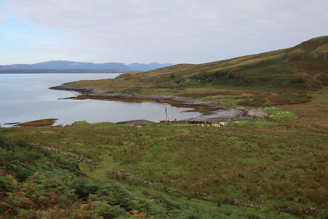
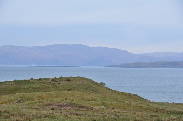
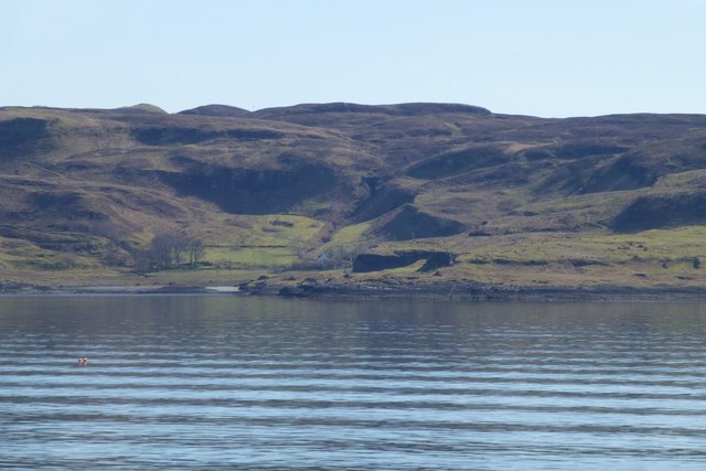
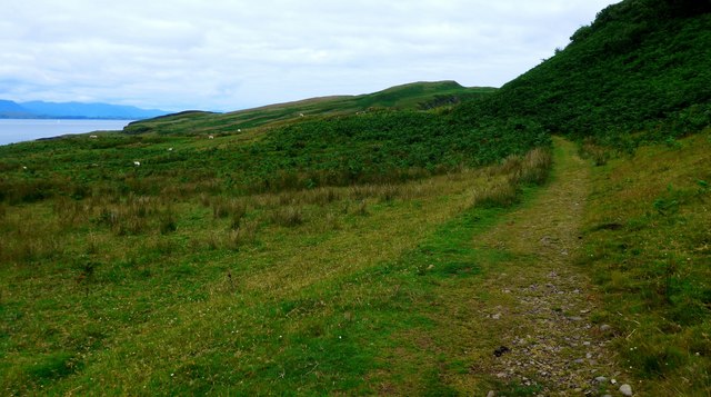
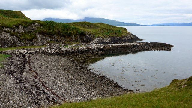
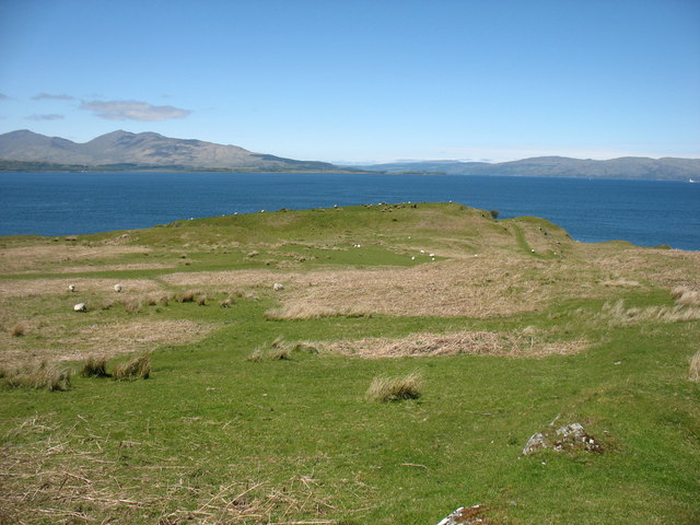
Kerrera is known for its rugged and picturesque landscape, with rolling hills, rocky cliffs, and beautiful coastal views. The island is predominantly agricultural, with sheep farming being the main industry. Its fertile soil also supports some small-scale vegetable and fruit cultivation.
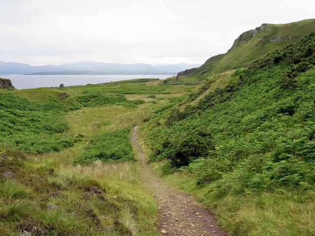
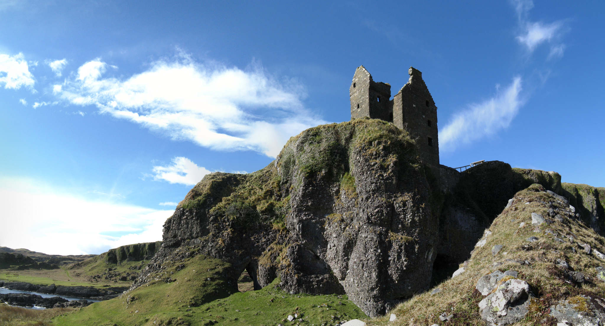
The island is accessible by a short ferry ride from Oban, making it a popular destination for day-trippers and hikers. There are several walking trails that crisscross the island, offering visitors the opportunity to explore its natural beauty. One of the most notable attractions is Gylen Castle, a ruined fortress that dates back to the 16th century. The castle stands on a rocky promontory and provides stunning views of the surrounding area.
Kerrera is also home to a small tearoom and a farm shop, where visitors can sample local produce and purchase handmade crafts. The island offers a peaceful and tranquil escape from the hustle and bustle of city life, with its unspoiled natural scenery and abundant wildlife, including seals, otters, and various bird species.
Overall, Kerrera presents a unique opportunity to experience the charm of a remote Scottish island, with its rugged beauty, historical landmarks, and warm hospitality.
If you have any feedback on the listing, please let us know in the comments section below.
Kerrera Images
Images are sourced within 2km of 56.39751/-5.5489888 or Grid Reference NM8128. Thanks to Geograph Open Source API. All images are credited.


Kerrera is located at Grid Ref: NM8128 (Lat: 56.39751, Lng: -5.5489888)
Unitary Authority: Argyll and Bute
Police Authority: Argyll and West Dunbartonshire
What 3 Words
///grunt.salary.claims. Near Oban, Argyll & Bute
Nearby Locations
Related Wikis

Kerrera
Kerrera (; Scottish Gaelic: Cearara or Cearrara) is an island in the Scottish Inner Hebrides, close to the town of Oban. In 2016 it had a population of...
Gylen Castle
Gylen Castle is a ruined castle, or tower house, at the south end of the island of Kerrera in Argyll and Bute, Scotland, on a promontory overlooking the...

RAF Oban
RAF Oban is a former Royal Air Force (RAF) flying boat base located at the northern end of the island of Kerrera, in Ardantrive Bay west of Oban, Argyll...
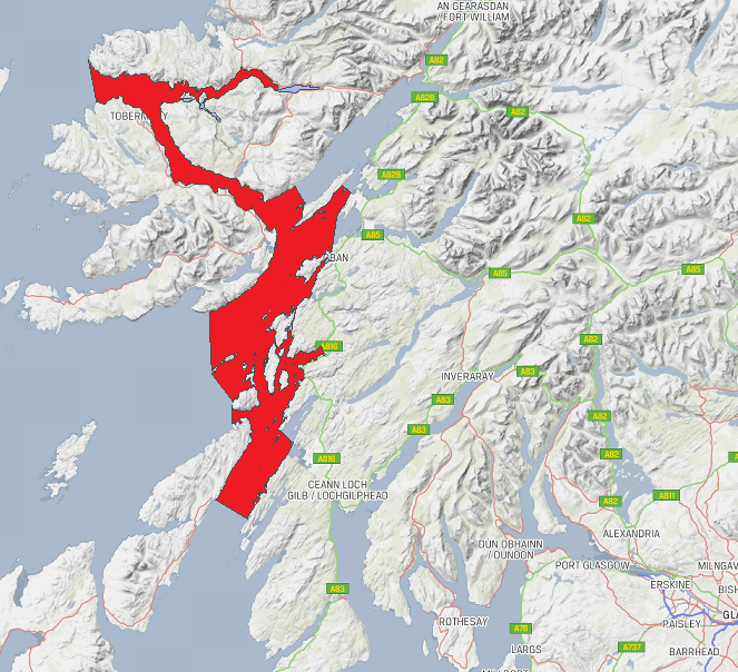
Loch Sunart to the Sound of Jura Marine Protected Area
Loch Sunart to the Sound of Jura Marine Protected Area is a Marine Protected Area (MPA) off the west coast of Scotland. The MPA, which covers 741 km2...
Nearby Amenities
Located within 500m of 56.39751,-5.5489888Have you been to Kerrera?
Leave your review of Kerrera below (or comments, questions and feedback).