Black Scar
Island in Pembrokeshire
Wales
Black Scar
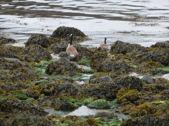
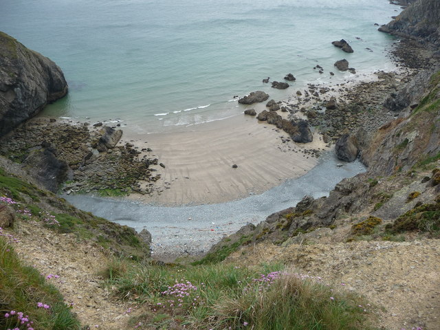
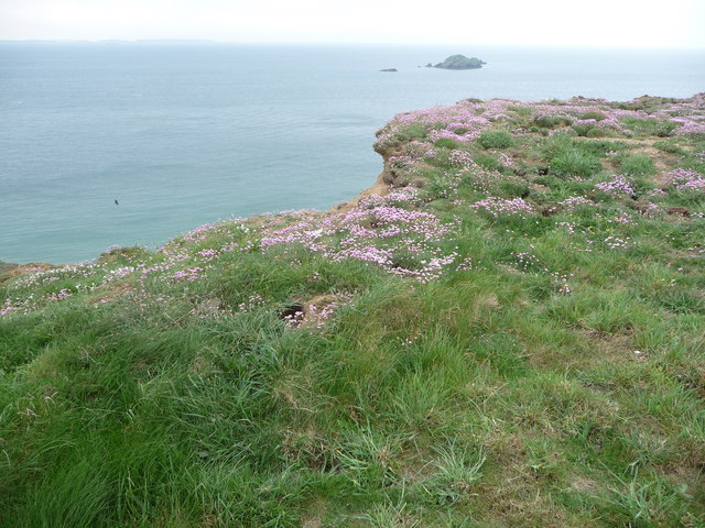
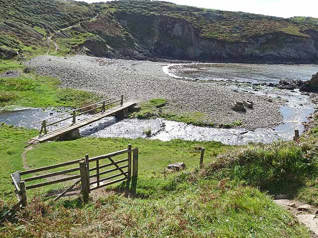
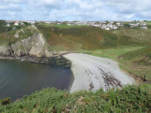
Black Scar is a small island located off the coast of Pembrokeshire, Wales. It is known for its rugged and dramatic landscape, characterized by steep cliffs and rocky outcrops. The island is uninhabited and is primarily used for birdwatching and wildlife observation.
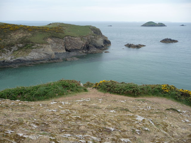
The name "Black Scar" is derived from the dark, sheer cliffs that line the coast of the island, creating a stark contrast against the blue waters of the surrounding sea. The island is home to a variety of seabirds, including puffins, guillemots, and razorbills, making it a popular destination for bird enthusiasts.
Access to Black Scar is limited, with boat trips being the most common way to reach the island. Visitors can explore the coastline and observe the diverse birdlife that calls the island home. The rugged terrain and secluded nature of Black Scar make it a peaceful and serene destination for those looking to escape the hustle and bustle of everyday life.
Overall, Black Scar is a hidden gem in Pembrokeshire, offering a unique and tranquil experience for nature lovers and outdoor enthusiasts.
If you have any feedback on the listing, please let us know in the comments section below.
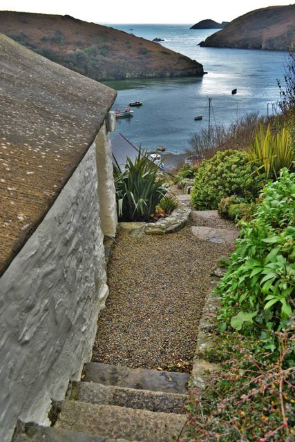
Black Scar Images
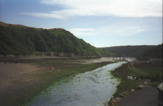
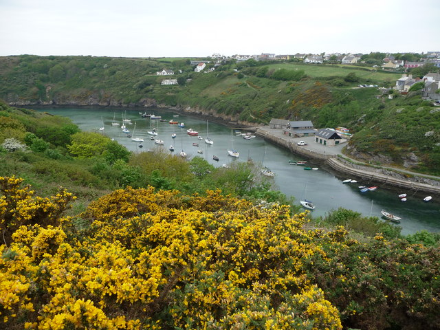
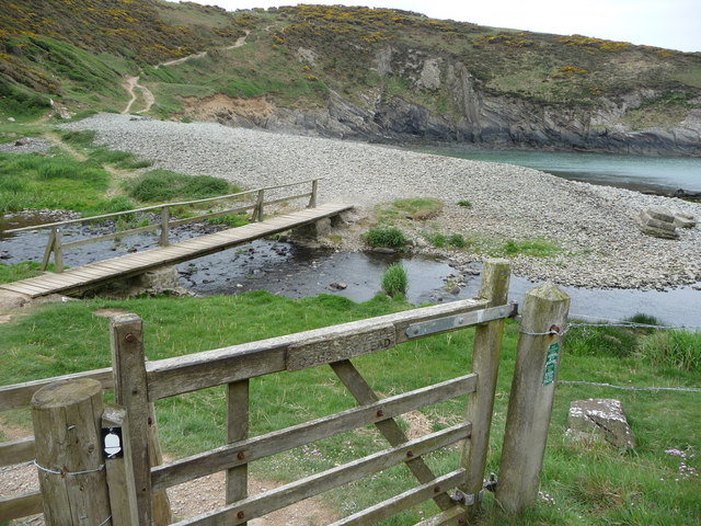
Images are sourced within 2km of 51.857269/-5.206982 or Grid Reference SM7922. Thanks to Geograph Open Source API. All images are credited.


Black Scar is located at Grid Ref: SM7922 (Lat: 51.857269, Lng: -5.206982)
Unitary Authority: Pembrokeshire
Police Authority: Dyfed Powys
What 3 Words
///cluttered.alright.windmills. Near St Davids, Pembrokeshire
Nearby Locations
Related Wikis

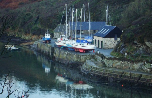
Solva limekilns
The Solva limekilns are a row of disused limekilns in the harbour of the village of Solva, Pembrokeshire, Wales. The kilns have a Grade II heritage listing...

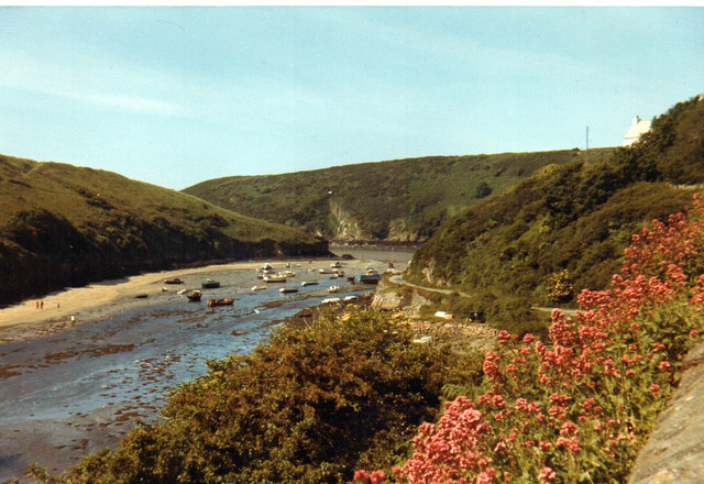
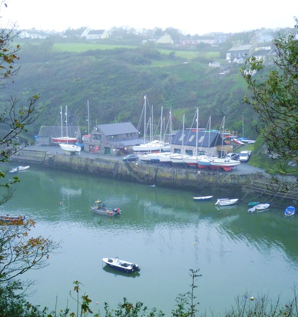
Solva
Solva (Welsh: Solfach) is a village, community and electoral ward in Pembrokeshire, Wales. The village comprises principally Lower Solva and Upper Solva...

Pembrokeshire Coast Path
The Pembrokeshire Coast Path (Welsh: Llwybr Arfordir Sir Benfro), often called the Pembrokeshire Coastal Path, is a designated National Trail in Pembrokeshire...

River Solva
The River Solva (Welsh: Afon Solfach) is a small river in Pembrokeshire, Wales. Its source is a few hundred metres southeast of Croesgoch and flows ten...
Nearby Amenities
Located within 500m of 51.857269,-5.206982Have you been to Black Scar?
Leave your review of Black Scar below (or comments, questions and feedback).