Carreg y Barcud

Island in Pembrokeshire

Wales

Carreg y Barcud

Country road near St David's View of the narrow country road heading for Trevinert from St David's, near  Ysgol Dewi Sant.
Country road near St David's Credit: Martyn Harries

Carreg y Barcud is a small island located off the coast of Pembrokeshire, Wales. It is situated in St. Brides Bay, approximately 2 miles southwest of the mainland. The island measures around 0.3 hectares and is known for its rugged and rocky terrain.

Carreg y Barcud is uninhabited and has no permanent structures or facilities. It is primarily a nature reserve, managed by the Wildlife Trust of South and West Wales, and is home to a diverse range of seabirds and marine life. The island provides crucial nesting sites for species such as razorbills, guillemots, and kittiwakes.

Access to Carreg y Barcud is restricted due to its status as a protected area. Visitors are not permitted to land on the island without prior permission from the Wildlife Trust. However, it is often possible to observe the wildlife from boat trips or from the nearby coastal path. The island's cliffs and rocky outcrops make it a popular spot for birdwatching enthusiasts.

The surrounding waters of Carreg y Barcud are also of ecological significance, as they form part of the Pembrokeshire Marine Special Area of Conservation. The area is known for its diverse marine habitats, including kelp forests and rocky reefs, which support a wide array of species.

In conclusion, Carreg y Barcud is a small and uninhabited island off the coast of Pembrokeshire, renowned for its rich wildlife and natural beauty. It serves as an important nesting site for seabirds and is a protected area of ecological importance.

If you have any feedback on the listing, please let us know in the comments section below.

Carreg y Barcud Images

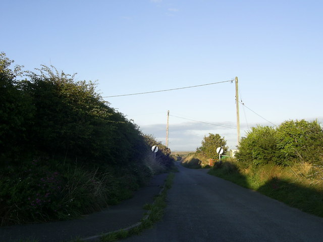
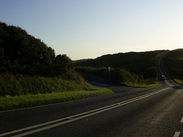
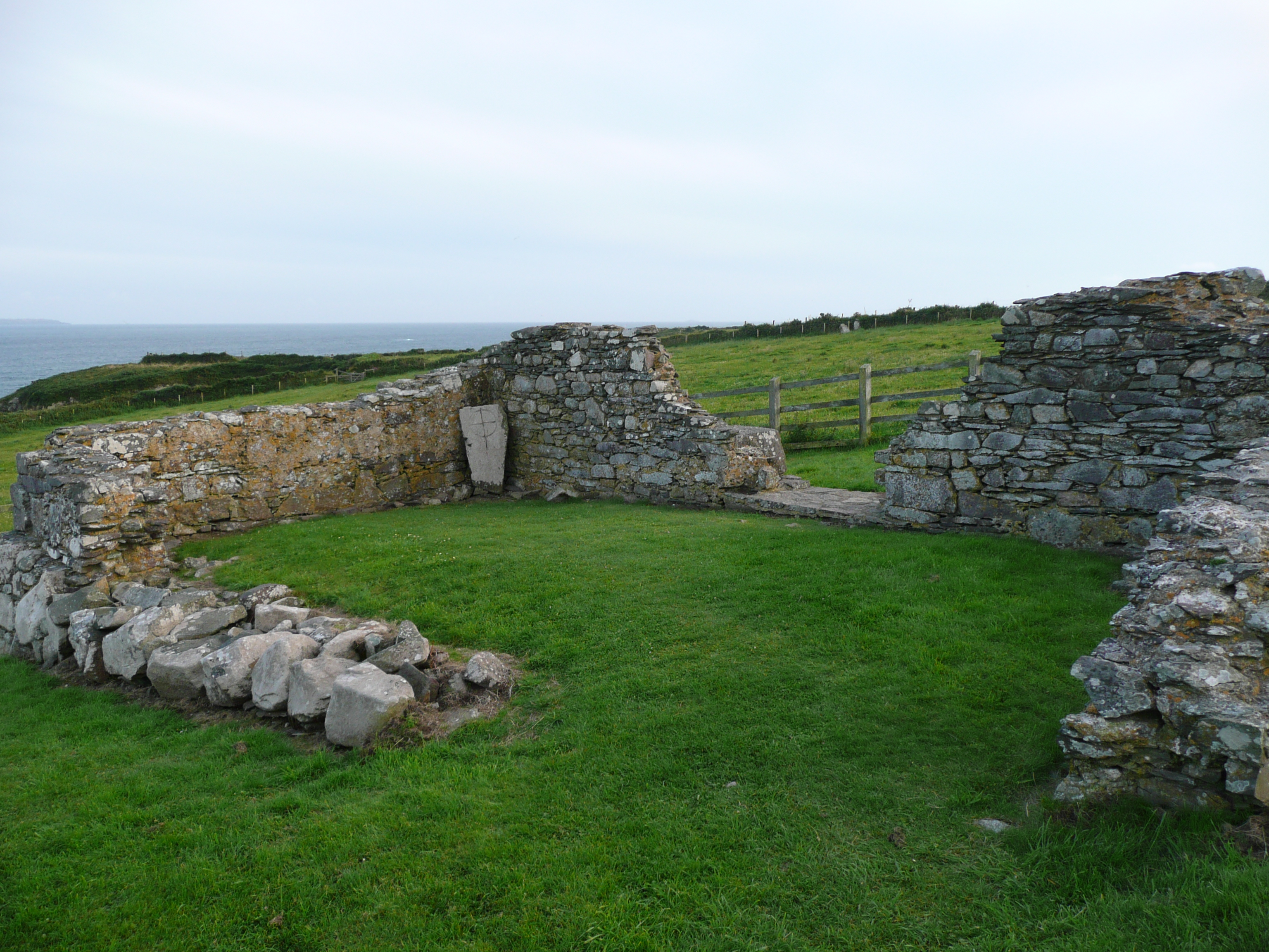
Images are sourced within 2km of 51.870098/-5.2399622 or Grid Reference SM7724. Thanks to Geograph Open Source API. All images are credited.

Country road near St David's View of the narrow country road heading for Trevinert from St David's, near  Ysgol Dewi Sant.
Country road near St David's
View of the narrow country road heading for Trevinert from St David's, near Ysgol Dewi Sant.
Road junction near St.David's A road junction, just within the grid square, with the A487 road leading to St.David's. The minor road on the left leads to Trelerw and Caer Bwdy Bay.
Road junction near St.David's
A road junction, just within the grid square, with the A487 road leading to St.David's. The minor road on the left leads to Trelerw and Caer Bwdy Bay.
Porth y rhaw Porth y Rhaw at sunset on New Year's Day 2012
Porth y rhaw
Porth y Rhaw at sunset on New Year's Day 2012
Gossamer covered hedgerow on Pen y Cyfrwy The extremely fine silk used by spiders or caterpillars is known as gossamer.
Gossamer covered hedgerow on Pen y Cyfrwy
The extremely fine silk used by spiders or caterpillars is known as gossamer.
Ocean Haze Fuel Station
Pont Clegyr
Pont Clegyr
Concrete Block Building beside the A487 OS Map indicates a covered reservoir here
Concrete Block Building beside the A487
OS Map indicates a covered reservoir here
Entering Nine Wells
Entering Nine Wells
St Non's Retreat House and Chapel of our Lady and St Non St Non was the mother of St David. The tiny Catholic chapel to the right dates from the early 20th century. The ruins of the original medieval chapel of St Non is on the left hand edge of the photo.
St Non's Retreat House and Chapel of our Lady and St Non
St Non was the mother of St David. The tiny Catholic chapel to the right dates from the early 20th century. The ruins of the original medieval chapel of St Non is on the left hand edge of the photo.
Chapel of Our Lady and St Non St Non was the mother of St David. The tiny Catholic chapel  dates from the early 20th century. The ruins of the original medieval chapel of St Non lie a short distance to the west.
Chapel of Our Lady and St Non
St Non was the mother of St David. The tiny Catholic chapel dates from the early 20th century. The ruins of the original medieval chapel of St Non lie a short distance to the west.
Stone artefact at St David's Visitor Centre Obviously of modern date.
Stone artefact at St David's Visitor Centre
Obviously of modern date.
Pembrokeshire National Park Visitor Centre The handsome purpose-built Visitor Centre at St David's.
Pembrokeshire National Park Visitor Centre
The handsome purpose-built Visitor Centre at St David's.
A487 at Nine Wells village boundary
A487 at Fachelich turn
A487 at St David's city boundary
Former Windmill at Twr-Y-Felin Hotel
Wreck and cliffs near Solva For the remains of the vessel years later, see <a href="https://www.geograph.org.uk/photo/3765269">SM7824 : Something interesting on the beach</a>.
Wreck and cliffs near Solva
For the remains of the vessel years later, see SM7824 : Something interesting on the beach.
Wreck and cliffs near Solva
Show me another place!

Carreg y Barcud is located at Grid Ref: SM7724 (Lat: 51.870098, Lng: -5.2399622)

Unitary Authority: Pembrokeshire

Police Authority: Dyfed Powys

What 3 Words

///purses.unlucky.wonderful. Near St Davids, Pembrokeshire

Related Wikis

Caerfai Bay

Caerfai Bay is a rocky cove on the north coast of St Brides Bay near St Davids in Pembrokeshire, West Wales. It is enclosed by steep varicoloured cliffs...

Ysgol Dewi Sant

Ysgol Dewi Sant is a secondary school in St Davids, Pembrokeshire, Wales. == Description == The school serves the historic city of St Davids and an extensive...

Chapel of St Non

The Chapel of St Non is located on the coast near St David's in Pembrokeshire, West Wales. Held by tradition to mark the birthplace of St David, the ruin...

St Davids City Hall

St Davids City Hall (Welsh: Neuadd y Ddinas Tyddewi) is a municipal building in the High Street, St Davids, Pembrokeshire, Wales. The structure is currently...

Nearby Amenities

Located within 500m of 51.870098,-5.2399622
Source: OS_Opendata_Vectormap_District
Lat/Long: 51.873123/-5.2450769
Source: OS_Opendata_Vectormap_District
Lat/Long: 51.8732391/-5.2451181
Natural: cave_entrance
Lat/Long: 51.871714/-5.2404431
Natural: cave_entrance
Lat/Long: 51.8710211/-5.2406368
Natural: cave_entrance
Lat/Long: 51.8717403/-5.2372227
Power: pole
Lat/Long: 51.8732668/-5.2435657
Power: pole
Lat/Long: 51.8738531/-5.2434504
The data included in this document is from www.openstreetmap.org. The data is made available under ODbL.

Have you been to Carreg y Barcud?

Leave your review of Carreg y Barcud below (or comments, questions and feedback).