Cala

Island in Argyllshire

Scotland

Cala

Gate House, Taynish
Gate House, Taynish Credit: Tom Richardson

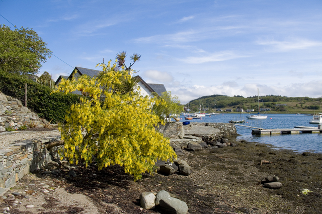
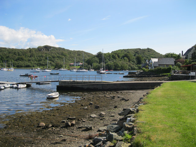
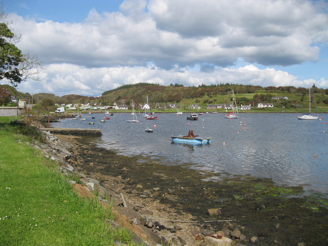
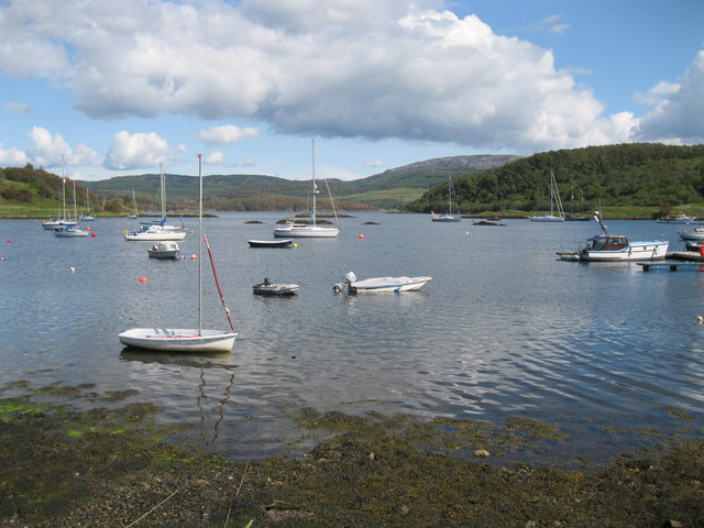
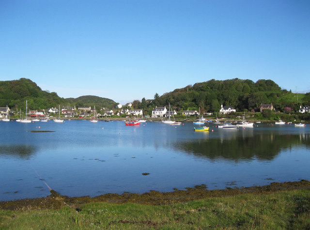
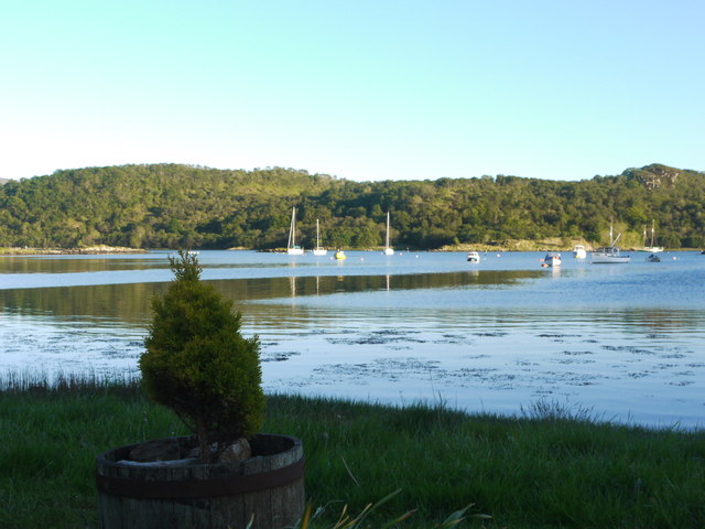
Cala is a picturesque island located in Argyllshire, Scotland. Situated off the western coast of the mainland, it is a popular destination for nature enthusiasts and those seeking a peaceful retreat. The island covers an area of approximately 5 square miles and is known for its stunning landscapes and rich biodiversity.

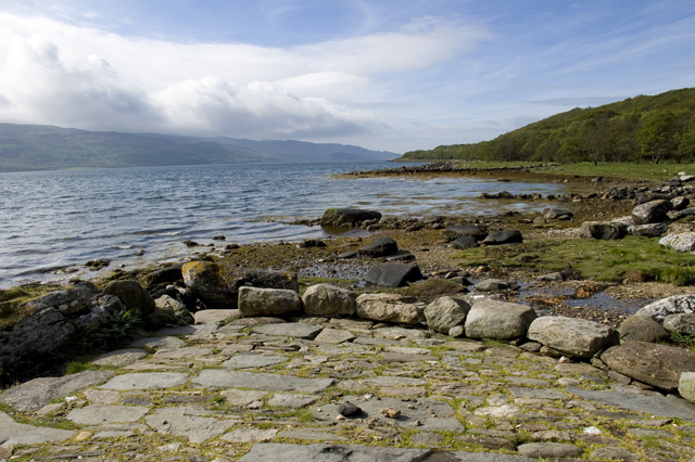
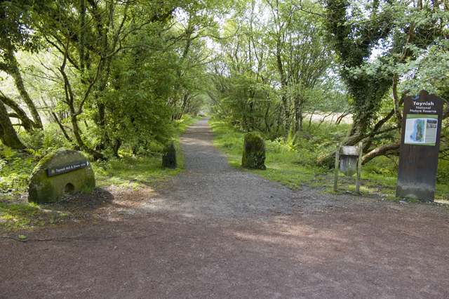
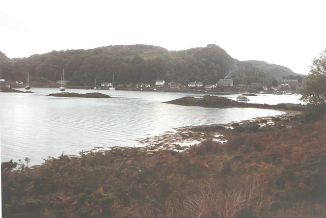
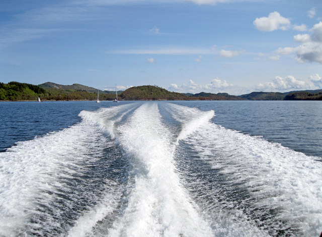
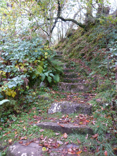
Cala boasts a diverse range of habitats, including rugged coastlines, sandy beaches, and lush woodlands. The island is home to a variety of wildlife, with species such as seals, otters, and numerous bird species thriving in the area. Nature lovers can explore the island through its well-maintained trails, which offer breathtaking views of the surrounding sea and mountains.

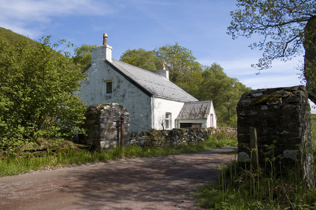
The island's main settlement is a quaint village that exudes a charming, traditional Scottish atmosphere. Visitors can find cozy accommodations, local eateries serving delicious seafood, and friendly locals who are always ready to share stories about the island's history and culture.

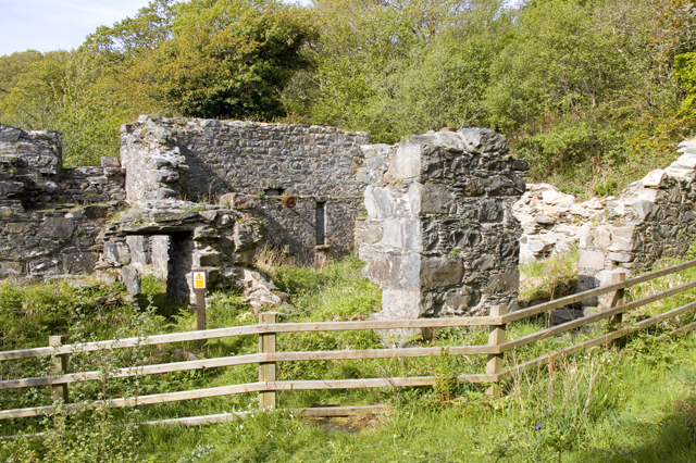
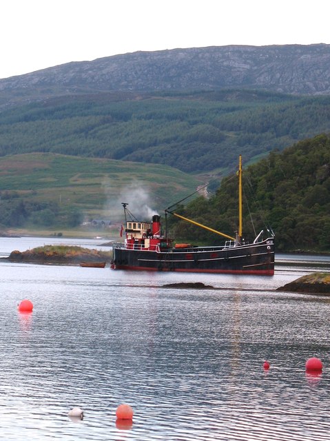
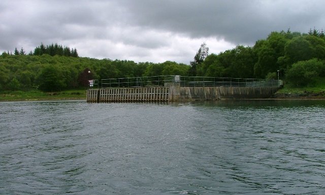
Cala is steeped in history, with remnants of ancient settlements and ruins dotting the landscape. The island also has a strong connection to the sea, with a long history of fishing and maritime traditions. Visitors can learn about the island's heritage by exploring its museums and heritage centers, which showcase artifacts and exhibits related to its past.

Overall, Cala offers a unique and tranquil experience for those looking to escape the hustle and bustle of everyday life. With its stunning natural beauty, rich wildlife, and fascinating history, it is a destination that leaves a lasting impression on all who visit.

If you have any feedback on the listing, please let us know in the comments section below.
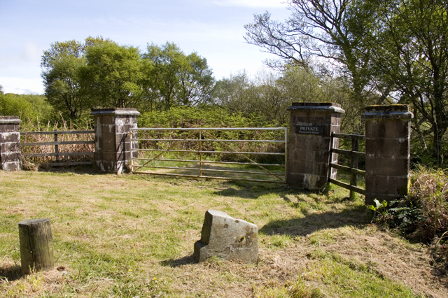
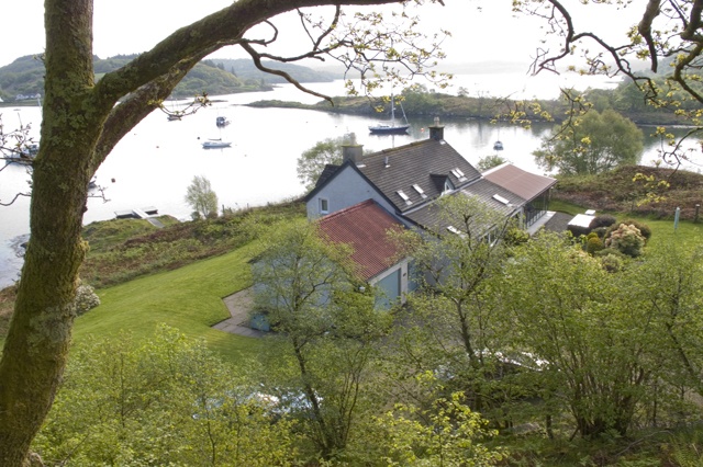
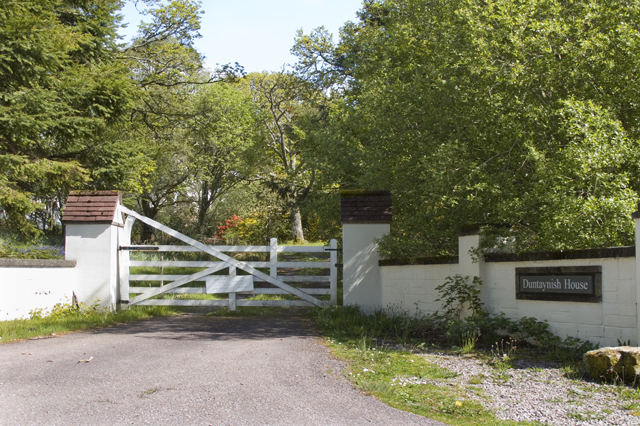
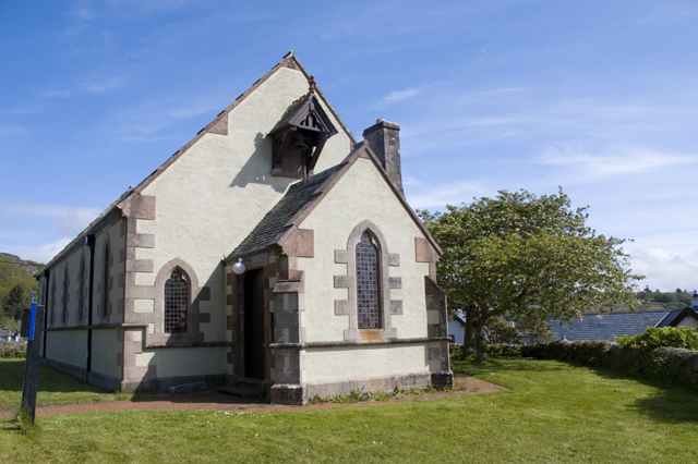
Cala Images

Images are sourced within 2km of 56.011136/-5.606462 or Grid Reference NR7585. Thanks to Geograph Open Source API. All images are credited.

Gate House, Taynish
Gate House, Taynish
Taynish Mill
Taynish Mill
Loch Sween From disabled viewing platform below Taynish Mill
Loch Sween
From disabled viewing platform below Taynish Mill
Footpath to Taynish Mill The start of Taynish Woodland Trail
Footpath to Taynish Mill
The start of Taynish Woodland Trail
Private entry to Duntaynish
House overlooking Loch a' Bhealach
Entrance to Duntaynish House
Tayvallich Church
Tayvallich Church
Tayvallich and Loch a' Bhealach
VIC32 at Tayvallich The last operational steam puffer VIC32 at Tayvallich. This lovely old boat has been converted for passenger use and now runs cruises along the west coast of Scotland.
VIC32 at Tayvallich
The last operational steam puffer VIC32 at Tayvallich. This lovely old boat has been converted for passenger use and now runs cruises along the west coast of Scotland.
Tayvallich in 1984 As seen from across Loch a' Bhealaich
Tayvallich in 1984
As seen from across Loch a' Bhealaich
Loch Sween 30 knots in the Jura Passenger Ferry <span class="nowrap"><a title="http://www.jurapassengerferry.com/," rel="nofollow ugc noopener" href="http://www.jurapassengerferry.com/,">Link</a><img style="margin-left:2px;" alt="External link" title="External link - shift click to open in new window" src="https://s1.geograph.org.uk/img/external.png" width="10" height="10"/></span> on the way to Craighouse from Tayvallich.
Loch Sween
30 knots in the Jura Passenger Ferry LinkExternal link on the way to Craighouse from Tayvallich.
Tayvallich main jetty There are a number of jetties within Tayvallich's sheltered harbour, but this is the main one. The concrete jetty has been extended by the addition of a floating walkway and it is used by most yachtsmen as well as the passenger ferry service to Craighouse, on Jura.
Tayvallich main jetty
There are a number of jetties within Tayvallich's sheltered harbour, but this is the main one. The concrete jetty has been extended by the addition of a floating walkway and it is used by most yachtsmen as well as the passenger ferry service to Craighouse, on Jura.
Tayvallich Harbour Tayvallich's almost land-locked harbour is a mecca for yachtsmen, who can moor their craft in relatively deep water within the sheltered bay.
Tayvallich Harbour
Tayvallich's almost land-locked harbour is a mecca for yachtsmen, who can moor their craft in relatively deep water within the sheltered bay.
Loch a'Bhealaich, Tayvallich The sea-loch at Tayvallich attracts many seafarers due to its sheltered location.
Loch a'Bhealaich, Tayvallich
The sea-loch at Tayvallich attracts many seafarers due to its sheltered location.
Tayvallich Harbour Loch a'Bhealaich provides sheltered moorings for yachts and other craft.
Tayvallich Harbour
Loch a'Bhealaich provides sheltered moorings for yachts and other craft.
Tayvallich harbour at sunset
Old steps at Taynish Mill
Show me another place!

Cala is located at Grid Ref: NR7585 (Lat: 56.011136, Lng: -5.606462)

Unitary Authority: Argyll and Bute

Police Authority: Argyll and West Dunbartonshire

What 3 Words

///hoped.falls.remembers. Near Ardrishaig, Argyll & Bute

Nearby Locations

Eilean Loain Cala

Related Wikis

Eilean Loain

Eilean Loain is a small island in Loch Sween and one of the Inner Hebrides of Scotland. It is about 2 kilometres (1 mi) west of the settlement of Kilmichael...

Ashfield, Argyll and Bute

Ashfield is a village in the civil parish of North Knapdale, in Knapdale, in the council area of Argyll and Bute, Scotland. It has a sheep farm and cottage...

Taynish National Nature Reserve

Taynish National Nature Reserve (Scottish Gaelic: Tèarmann Nàdair Nàiseanta Taighnis) is situated southwest of the village of Tayvallich in the council...

Tayvallich

Tayvallich (pronounced TAY-vee-AL-ich; Scottish Gaelic: Taigh a' Bhealaich [t̪ʰɤj ə ˈvjal̪ˠɪç]) is a small village in the Knapdale area of Argyll and Bute...

Nearby Amenities

Located within 500m of 56.011136,-5.606462
Source: PGS
Lat/Long: 56.0106919/-5.6071352
Source: PGS
Lat/Long: 56.0119596/-5.6059194
Source: PGS
Lat/Long: 56.0118337/-5.605664
Source: PGS
Lat/Long: 56.0110717/-5.6060025
Source: PGS
Lat/Long: 56.0101441/-5.6067077
Source: PGS
Lat/Long: 56.0070376/-5.6063121
Source: PGS
Lat/Long: 56.0102627/-5.6049924
Source: PGS
Lat/Long: 56.0121138/-5.6028365
Source: PGS
Lat/Long: 56.0118157/-5.6026318
Source: PGS
Lat/Long: 56.011704/-5.6026634
Source: PGS
Lat/Long: 56.0115792/-5.6026919
Source: PGS
Lat/Long: 56.0096497/-5.5999815
Source: PGS
Lat/Long: 56.0078507/-5.6016093
Source: PGS
Lat/Long: 56.0076257/-5.6018816
Source: PGS
Lat/Long: 56.0069799/-5.6036223
Source: PGS
Lat/Long: 56.0099634/-5.6070502
Source: PGS
Lat/Long: 56.0102786/-5.6072205
Source: PGS
Lat/Long: 56.0112635/-5.6069533
Source: PGS
Lat/Long: 56.0116777/-5.6065451
Source: PGS
Lat/Long: 56.0104776/-5.6064874
Source: PGS
Lat/Long: 56.0103258/-5.6066572
Source: PGS
Lat/Long: 56.0100138/-5.6070271
Source: PGS
Lat/Long: 56.0079043/-5.6067919
Source: PGS
Lat/Long: 56.0080628/-5.6064971
Source: PGS
Lat/Long: 56.0084184/-5.6061137
Source: PGS
Lat/Long: 56.0095246/-5.6057245
Source: PGS
Lat/Long: 56.009788/-5.6053867
Source: PGS
Lat/Long: 56.0108125/-5.6045328
Source: PGS
Lat/Long: 56.0115324/-5.6041411
Source: PGS
Lat/Long: 56.0119946/-5.6033701
Source: PGS
Lat/Long: 56.0120898/-5.6031197
Source: PGS
Lat/Long: 56.0112994/-5.6013068
Source: PGS
Lat/Long: 56.0112543/-5.6003567
Source: PGS
Lat/Long: 56.0112044/-5.6001397
Source: PGS
Lat/Long: 56.0109724/-5.6001974
Source: PGS
Lat/Long: 56.0104206/-5.6005107
Source: PGS
Lat/Long: 56.008861/-5.6002462
Source: PGS
Lat/Long: 56.0085906/-5.6005501
Source: PGS
Lat/Long: 56.0083325/-5.6009009
Source: PGS
Lat/Long: 56.0076843/-5.6027071
Source: PGS
Lat/Long: 56.0073056/-5.60322
The data included in this document is from www.openstreetmap.org. The data is made available under ODbL.

Have you been to Cala?

Leave your review of Cala below (or comments, questions and feedback).