Eilean Fada
Island in Argyllshire
Scotland
Eilean Fada
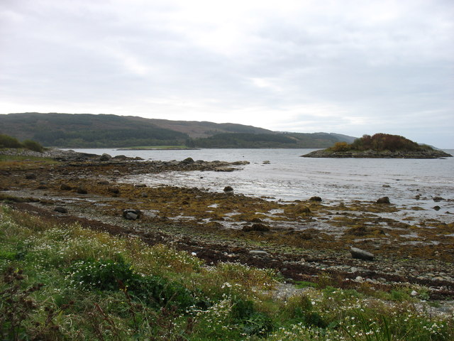
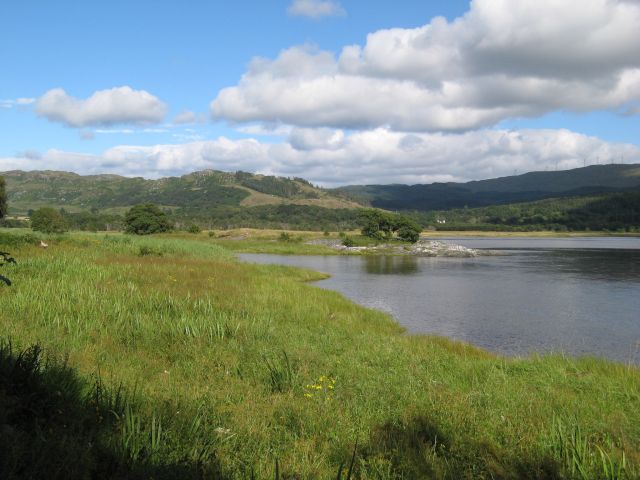
Eilean Fada is a small island located off the west coast of Scotland in Argyllshire. It is situated in the Inner Hebrides, specifically in the Sound of Mull. The island is known for its stunning natural beauty and rich history.
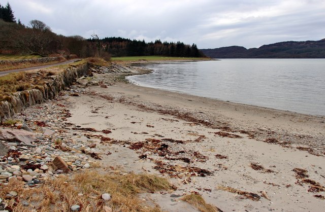
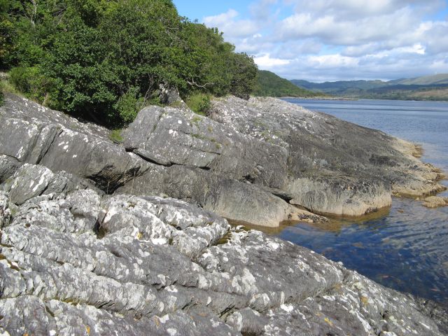
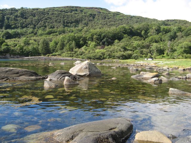
With a total area of around 9 hectares, Eilean Fada is relatively small in size. The landscape of the island is characterized by rugged cliffs, rocky shores, and rolling hills covered in lush vegetation. The island is uninhabited, making it a peaceful and secluded retreat for visitors.
One of the notable features of Eilean Fada is its ancient ruins. The island is home to the remains of a medieval chapel, which dates back to the 13th century. These ruins offer a glimpse into the island's past and provide a sense of its historical significance.
Eilean Fada is also known for its diverse wildlife. The island is a sanctuary for various bird species, including puffins, guillemots, and razorbills. Seals can often be spotted lounging on the rocks surrounding the island, adding to its natural charm.
Access to Eilean Fada is possible by boat, and there are tours available that allow visitors to explore the island and its surroundings. The island offers breathtaking views of the surrounding waters and nearby islands, making it a popular destination for nature enthusiasts and photographers.
In conclusion, Eilean Fada is a picturesque and historically significant island located in Argyllshire, Scotland. With its rugged landscape, ancient ruins, and abundant wildlife, it offers a unique and memorable experience for those who visit.
If you have any feedback on the listing, please let us know in the comments section below.
Eilean Fada Images
Images are sourced within 2km of 55.923358/-5.5992246 or Grid Reference NR7575. Thanks to Geograph Open Source API. All images are credited.


Eilean Fada is located at Grid Ref: NR7575 (Lat: 55.923358, Lng: -5.5992246)
Unitary Authority: Argyll and Bute
Police Authority: Argyll and West Dunbartonshire
What 3 Words
///single.irony.lamenting. Near Tarbert, Argyll & Bute
Nearby Locations
Related Wikis
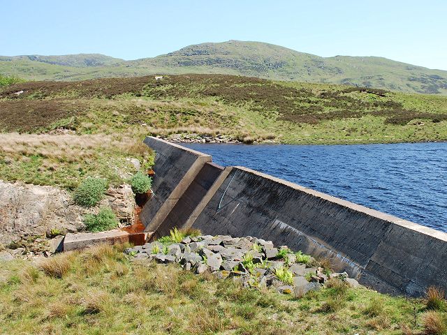
Loch A' Chaorainn
Loch A' Chaorainn (Loch of the Rowan) is an impounding reservoir which lies 9 kilometres (5.6 mi) north west of Tarbert. The concrete dam is 8.2 metres...

Ormsary
Ormsary (Scottish Gaelic: Ormsaraidh) is a hamlet in Knapdale, Argyll and Bute, Scotland. == References ==
Achahoish
Achahoish (Scottish Gaelic: Achadh a’ Chòis) is a village on the west coast of Knapdale in the Scottish council area of Argyll and Bute. In 1882, Wilson...
Baile Boidheach
Baile Boidheach (Scottish Gaelic: Am Baile Bòidheach) is a hamlet in Argyll and Bute, Scotland.
Nearby Amenities
Located within 500m of 55.923358,-5.5992246Have you been to Eilean Fada?
Leave your review of Eilean Fada below (or comments, questions and feedback).