Carreg yr Esgob

Island in Pembrokeshire

Wales

Carreg yr Esgob

Porthstinian Porthstinian from Maen Bachau, on the other side of the bay is St Justinian Lifeboat Station.
Porthstinian Credit: Chris McAuley

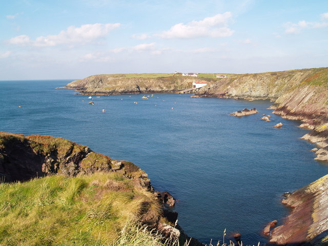
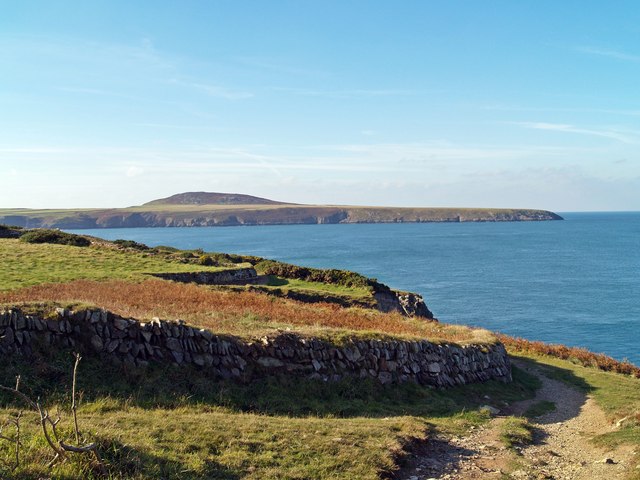
Carreg yr Esgob is a small island located off the coast of Pembrokeshire, Wales. Also known as Bishop's Rock, it is situated around 1.5 miles southwest of the village of Abercastle. The island is part of the Pembrokeshire Coast National Park, renowned for its stunning natural beauty and diverse wildlife.

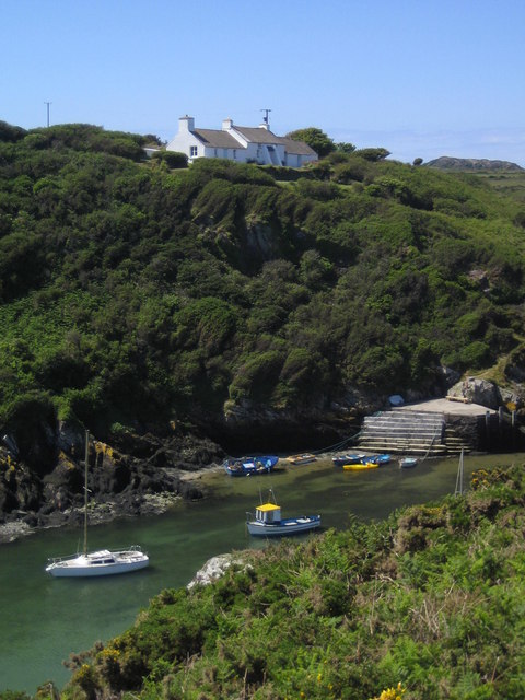
Carreg yr Esgob is a rocky island with an area of approximately 2 acres. It is easily identifiable by its distinctive shape and the presence of a solitary rock stack, which is believed to have been formed by the erosion of the surrounding cliffs. The island is mostly inaccessible due to its steep cliffs and dangerous currents, making it a popular spot for seabirds to nest.

The island's name, Carreg yr Esgob, translates to "Bishop's Rock" in English. This name is said to have originated from the fact that the island was once owned by the Bishop of St. David's, who used it as a fishing spot. Today, the island is privately owned and serves as a sanctuary for various bird species, including razorbills, guillemots, and kittiwakes.

Carreg yr Esgob is a picturesque location that offers breathtaking views of the surrounding coastline and sea. It is often visited by birdwatchers and nature enthusiasts who appreciate its serene atmosphere and the opportunity to observe the diverse birdlife. However, due to its protected status, access to the island is limited and visitors are advised to enjoy its beauty from a distance, either from the nearby cliffs or the sea.

If you have any feedback on the listing, please let us know in the comments section below.

Carreg yr Esgob Images

Images are sourced within 2km of 51.85969/-5.3007909 or Grid Reference SM7223. Thanks to Geograph Open Source API. All images are credited.

Porthstinian Porthstinian from Maen Bachau, on the other side of the bay is St Justinian Lifeboat Station.
Porthstinian
Porthstinian from Maen Bachau, on the other side of the bay is St Justinian Lifeboat Station.
Field Boundaries Dry stone walled field boundaries on the Pembrokeshire Coast Path.
Field Boundaries
Dry stone walled field boundaries on the Pembrokeshire Coast Path.
The Bitches The Bitches are a set of rocks and tidal rapid in the Ramsey Sound.
<span class="nowrap"><a title="http://www.the-bitches.co.uk" rel="nofollow ugc noopener" href="http://www.the-bitches.co.uk">Link</a><img style="margin-left:2px;" alt="External link" title="External link - shift click to open in new window" src="https://s1.geograph.org.uk/img/external.png" width="10" height="10"/></span>
The Bitches
The Bitches are a set of rocks and tidal rapid in the Ramsey Sound. LinkExternal link
Pool on headland above Ogof Mrs Morgan Diminished in size due to dry weather.
Pool on headland above Ogof Mrs Morgan
Diminished in size due to dry weather.
Porth Clais
Porth Clais
Porth Clais 1971
Porth Clais 1971
Breakwater at the mouth of Porth Clais Harbour At one time, the port for St David's.
Breakwater at the mouth of Porth Clais Harbour
At one time, the port for St David's.
Port Clais harbour
Port Clais harbour
Footpath and limekiln at Porthclais
Looking across Porth y Ffynnon St Non's retreat is visible in the distance.
Looking across Porth y Ffynnon
St Non's retreat is visible in the distance.
Looking south west from Trwyn Cynddeiriog
The harbour car park at Porth Clais Confusingly situated next to the National Trust car park, but not free to NT members!
The harbour car park at Porth Clais
Confusingly situated next to the National Trust car park, but not free to NT members!
Porthclais Harbour Breakwater This substantial breakwater keeps a southerly swell out of this narrow steep sided haven.
Porthclais Harbour Breakwater
This substantial breakwater keeps a southerly swell out of this narrow steep sided haven.
Porthclais Harbour There is little activity now in this old fishing haven.
Porthclais Harbour
There is little activity now in this old fishing haven.
The Coast Path across the Picrite Peninsula The path runs through a large area of heather and gorse coastal heathland.
The Coast Path across the Picrite Peninsula
The path runs through a large area of heather and gorse coastal heathland.
Porthlysgi Bay Inviting sandy beaches here contrast with the wild rocky coast on either side.
Porthlysgi Bay
Inviting sandy beaches here contrast with the wild rocky coast on either side.
Coastal Scenery near Porth-henllys
The Coast Path by Ogof Cadno
Show me another place!

Carreg yr Esgob is located at Grid Ref: SM7223 (Lat: 51.85969, Lng: -5.3007909)

Unitary Authority: Pembrokeshire

Police Authority: Dyfed Powys

What 3 Words

///mailboxes.defensive.cheerful. Near St Davids, Pembrokeshire

Related Wikis

Pen Dal-aderyn

Pen Dal-aderyn is the westernmost point of mainland Wales. It is in Pembrokeshire, west of St Davids. It means 'Bird-catching Head' in Welsh. == External... ==

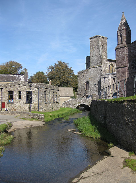
River Alun, Pembrokeshire

The River Alun is a small river in northwest Pembrokeshire, Wales, which rises near Tretio Common and flows southwestwards to St Davids to empty into St...
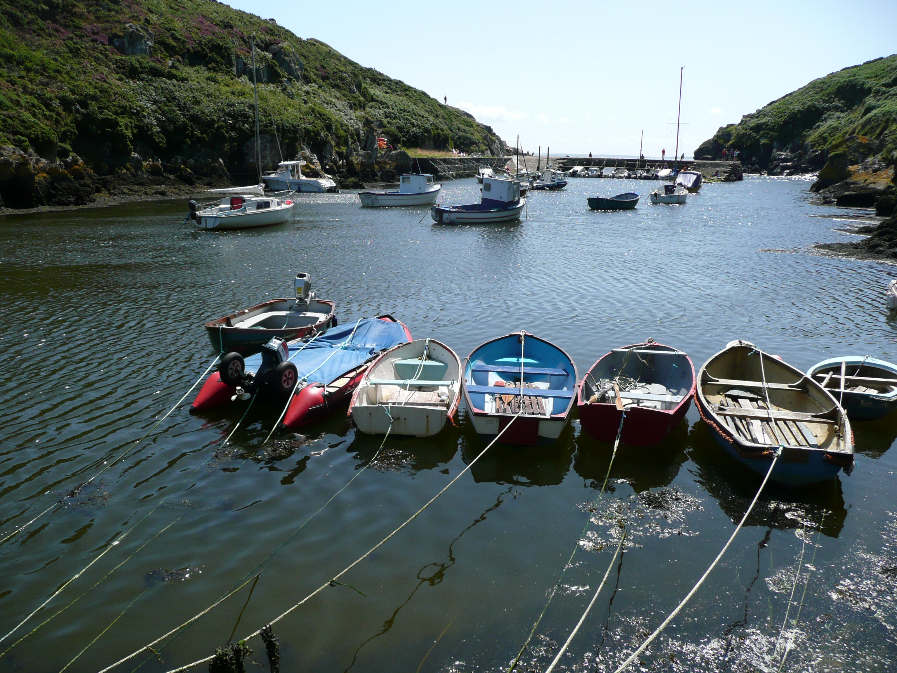
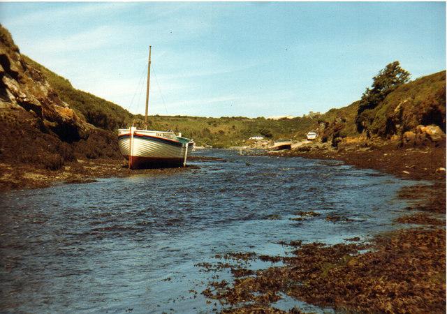
Porthclais

Porthclais (also known as Porth Clais) is a small sheltered inlet harbour near St Davids, Pembrokeshire, Wales, in the community of St Davids and the Cathedral...
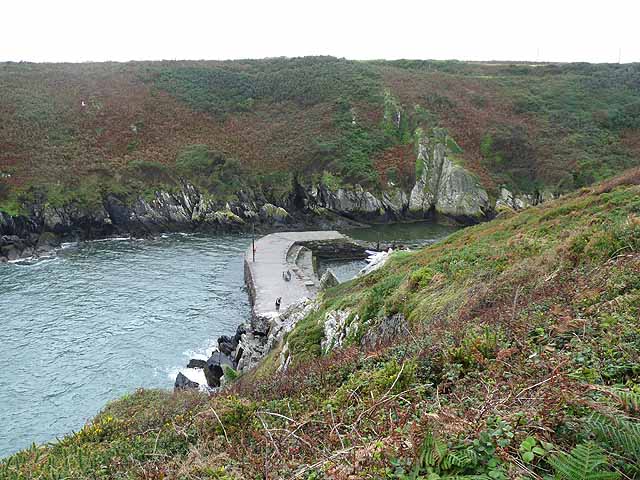
The Bitches

The Bitches (also known as Bitches and Whelps) are a tidal race and set of rocks between Ramsey Island and the west Welsh coastline near St Davids. They...

Nearby Amenities

Located within 500m of 51.85969,-5.3007909
Source: OS_Opendata_Vectormap_District
Lat/Long: 51.8637639/-5.3021455
Source: OS_Opendata_Vectormap_District
Lat/Long: 51.8637747/-5.3019543
Source: OS_Opendata_Vectormap_District
Lat/Long: 51.8637588/-5.3024664
Source: OS_Opendata_Vectormap_District
Lat/Long: 51.8638016/-5.3019026
Source: OS_Opendata_Vectormap_District
Lat/Long: 51.8637578/-5.3025344
Source: OS_Opendata_Vectormap_District
Lat/Long: 51.8638878/-5.3018331
Source: OS_Opendata_Vectormap_District
Lat/Long: 51.8638699/-5.3029593
Source: OS_Opendata_Vectormap_District
Lat/Long: 51.863806/-5.302448
Source: OS_Opendata_Vectormap_District
Lat/Long: 51.8638914/-5.3028526
Source: OS_Opendata_Vectormap_District
Lat/Long: 51.8639121/-5.3016991
Source: OS_Opendata_Vectormap_District
Lat/Long: 51.8638574/-5.3031459
Source: OS_Opendata_Vectormap_District
Lat/Long: 51.8638412/-5.3023169
Source: OS_Opendata_Vectormap_District
Lat/Long: 51.8639574/-5.3027026
Source: OS_Opendata_Vectormap_District
Lat/Long: 51.8639738/-5.3014351
Source: OS_Opendata_Vectormap_District
Lat/Long: 51.8639899/-5.3025512
Source: OS_Opendata_Vectormap_District
Lat/Long: 51.863904/-5.3033392
Source: OS_Opendata_Vectormap_District
Lat/Long: 51.863903/-5.3022619
Source: OS_Opendata_Vectormap_District
Lat/Long: 51.8640267/-5.302375
Colour: yellow
Seamark: buoy
Seamark Buoy Special Purpose Category: warning
Seamark Buoy Special Purpose Colour: yellow
Seamark Buoy Special Purpose Shape: spar
Seamark Topmark Shape: x-shape
Seamark Type: buoy_special_purpose
Lat/Long: 51.8623656/-5.3052763
Colour: yellow
Seamark: buoy
Seamark Buoy Special Purpose Category: warning
Seamark Buoy Special Purpose Colour: yellow
Seamark Buoy Special Purpose Shape: spar
Seamark Topmark Shape: x-shape
Seamark Type: buoy_special_purpose
Lat/Long: 51.8616446/-5.3058936
The data included in this document is from www.openstreetmap.org. The data is made available under ODbL.

Have you been to Carreg yr Esgob?

Leave your review of Carreg yr Esgob below (or comments, questions and feedback).