Vellan Drang
Island in Cornwall
England
Vellan Drang
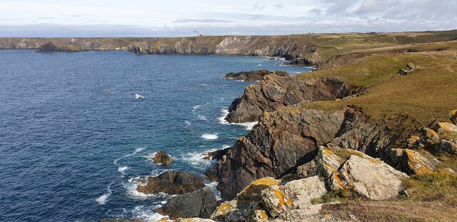
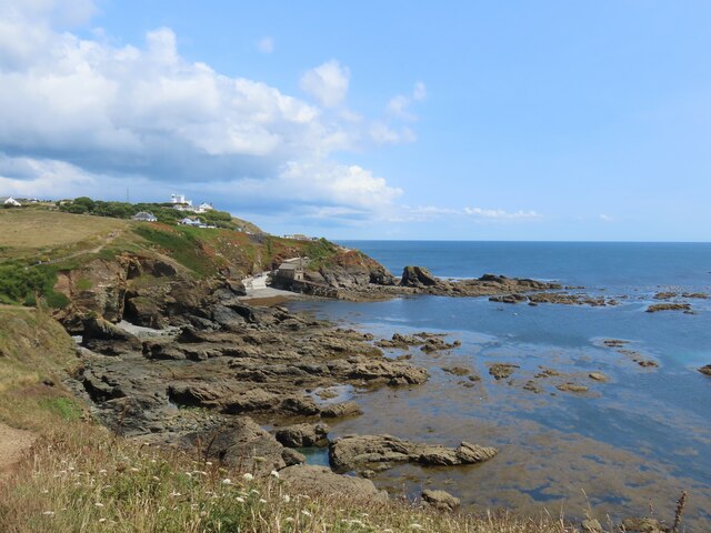
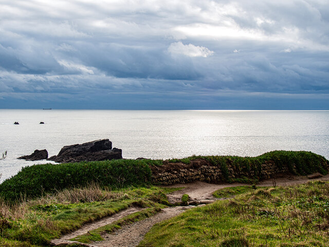
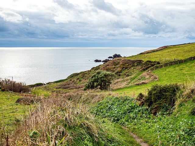
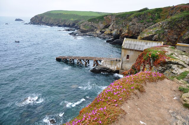
Vellan Drang is a small island located off the coast of Cornwall, England. It is situated in the Celtic Sea, about 10 miles southwest of the mainland. The island covers an area of approximately 1 square mile and is known for its stunning natural beauty and rugged coastline.
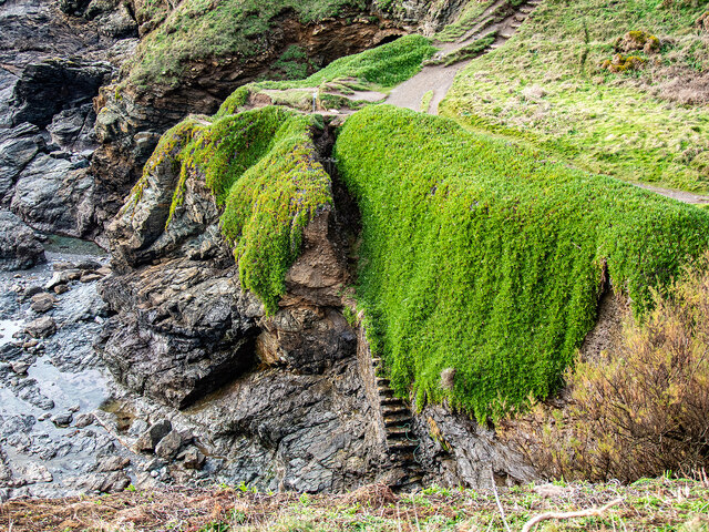
Vellan Drang is predominantly made up of rocky cliffs, with a few small sandy coves scattered along its shoreline. The island's cliffs provide a nesting site for various seabird species, including puffins, guillemots, and razorbills, making it a popular destination for birdwatchers and wildlife enthusiasts.
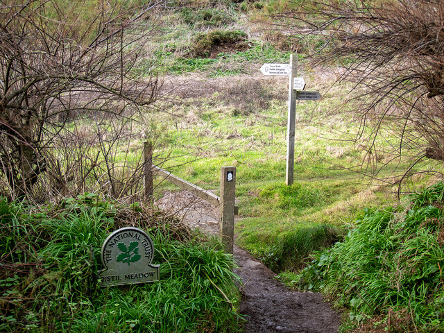
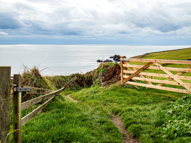
The island is uninhabited, with no permanent residents or infrastructure. However, it is a popular spot for day trips and picnics, attracting visitors who are drawn to its tranquility and unspoiled nature. Access to the island is possible via private boats or by taking a ferry service from nearby coastal towns.
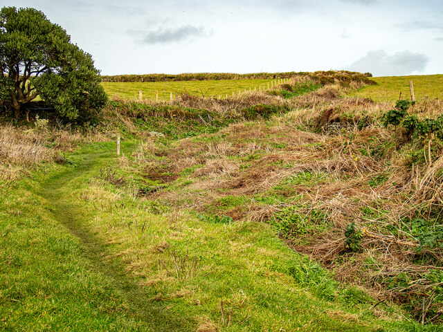
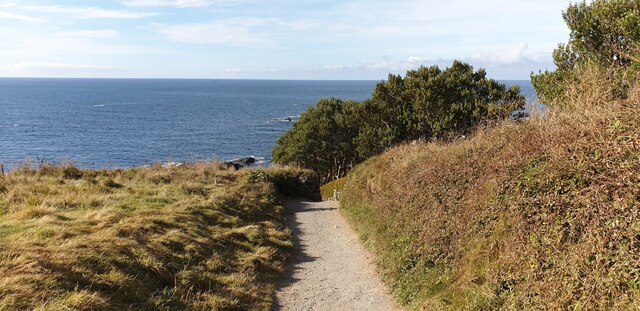
Vellan Drang offers several walking trails that allow visitors to explore its rugged landscape and enjoy panoramic views of the surrounding sea. The island's flora consists of heather, gorse, and various wildflowers, adding a splash of color to the otherwise rocky terrain.
While there are no facilities or accommodations on the island, visitors can find amenities, including restaurants and accommodation options, in the nearby coastal towns of Cornwall. Vellan Drang is a hidden gem for nature lovers and a perfect escape from the hustle and bustle of everyday life.
If you have any feedback on the listing, please let us know in the comments section below.
Vellan Drang Images
Images are sourced within 2km of 49.958256/-5.2071629 or Grid Reference SW7011. Thanks to Geograph Open Source API. All images are credited.


Vellan Drang is located at Grid Ref: SW7011 (Lat: 49.958256, Lng: -5.2071629)
Unitary Authority: Cornwall
Police Authority: Devon and Cornwall
What 3 Words
///froth.durations.cloud. Near Landewednack, Cornwall
Nearby Locations
Related Wikis
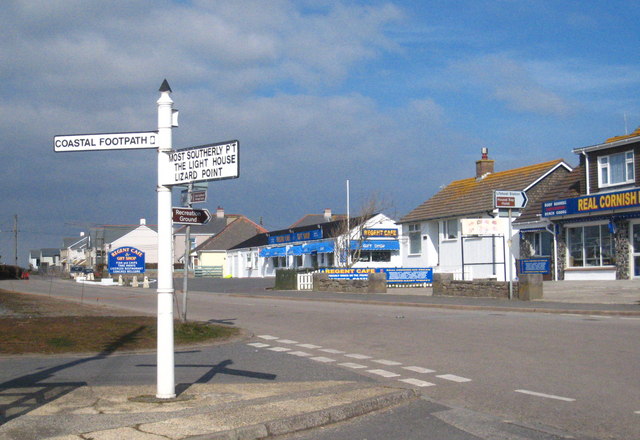
Lizard Point, Cornwall
Lizard Point (from Cornish an Lysardh 'the high court') in Cornwall is at the southern tip of the Lizard Peninsula. It is situated half-a-mile (800 m...
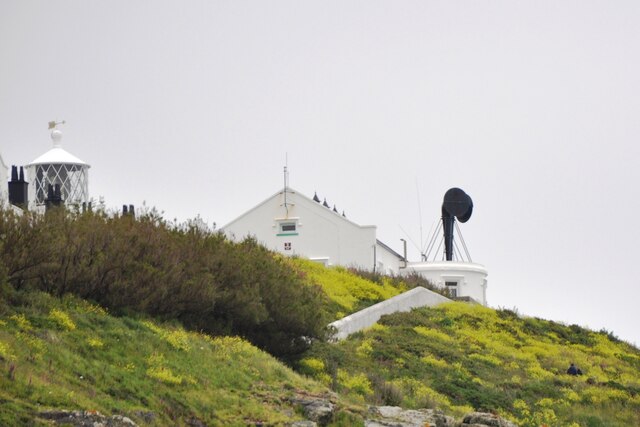
Lizard Lighthouse
The Lizard Lighthouse is a lighthouse at Lizard Point, Cornwall, England, built to guide vessels passing through the English Channel. It was often the...
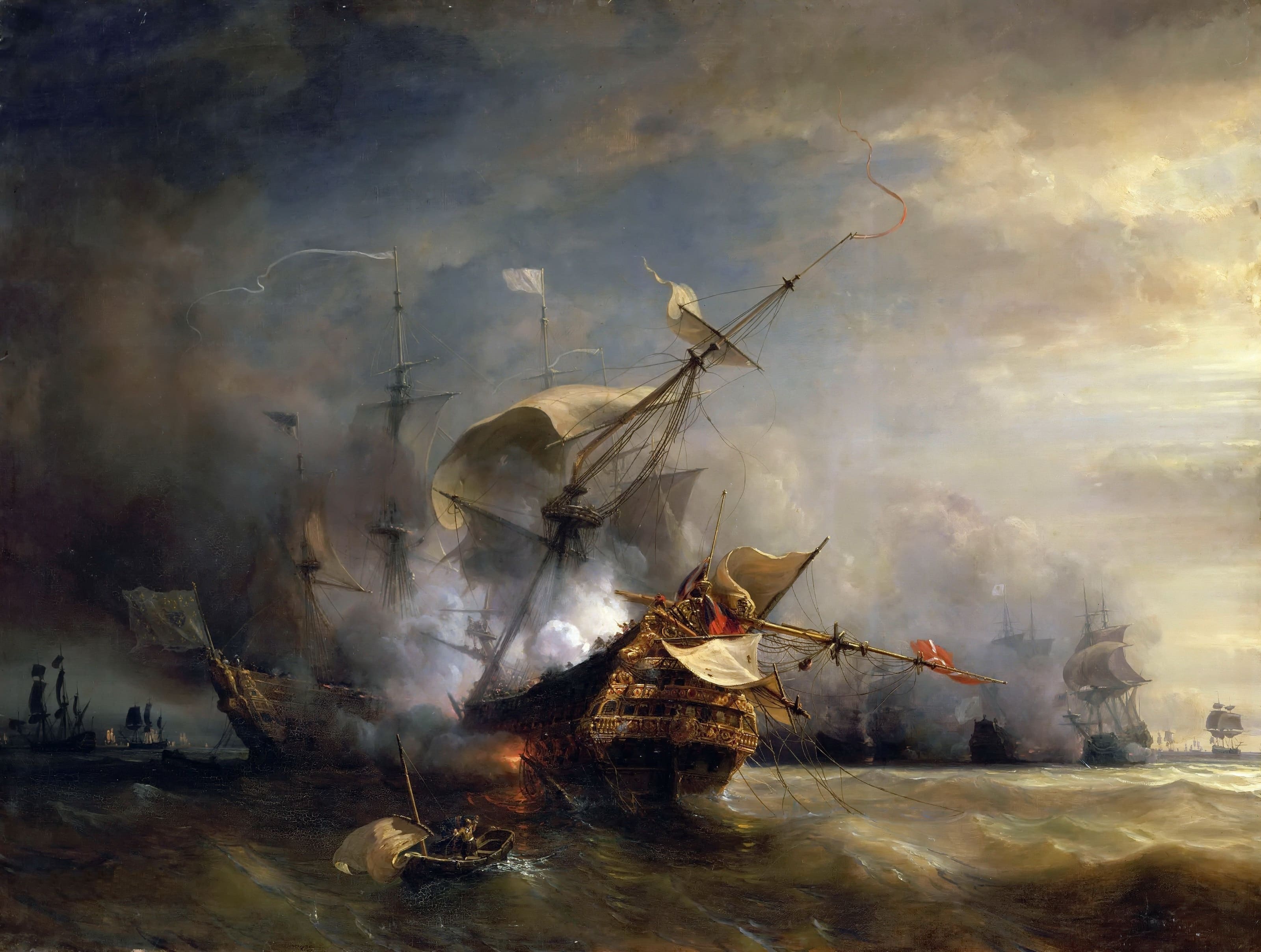
Battle at The Lizard
The naval Battle of the Lizard (French: Combat du Cap Lézard) took place on 21 October 1707 during the War of the Spanish Succession near Lizard Point...

Bugaled Breizh
MFV Bugaled Breizh is a French trawler from Loctudy, Finistère, whose sinking with all hands in 90 metres of water in the English Channel on 15 January...
Lizard (village)
Lizard, also known as The Lizard, is a village on the Lizard peninsula in Cornwall, England, United Kingdom. It is situated about ten miles (16 km) south...

Bass Point (England)
Bass Point is a headland on the coast of Cornwall, England. It is at the southern tip of the Lizard peninsula, in the civil parish of Landewednack. The...

Church Cove
For Church Cove, Gunwalloe, see GunwalloeChurch Cove is a hamlet in the civil parish of Landewednack in Cornwall, England. Its nearest town is Helston...
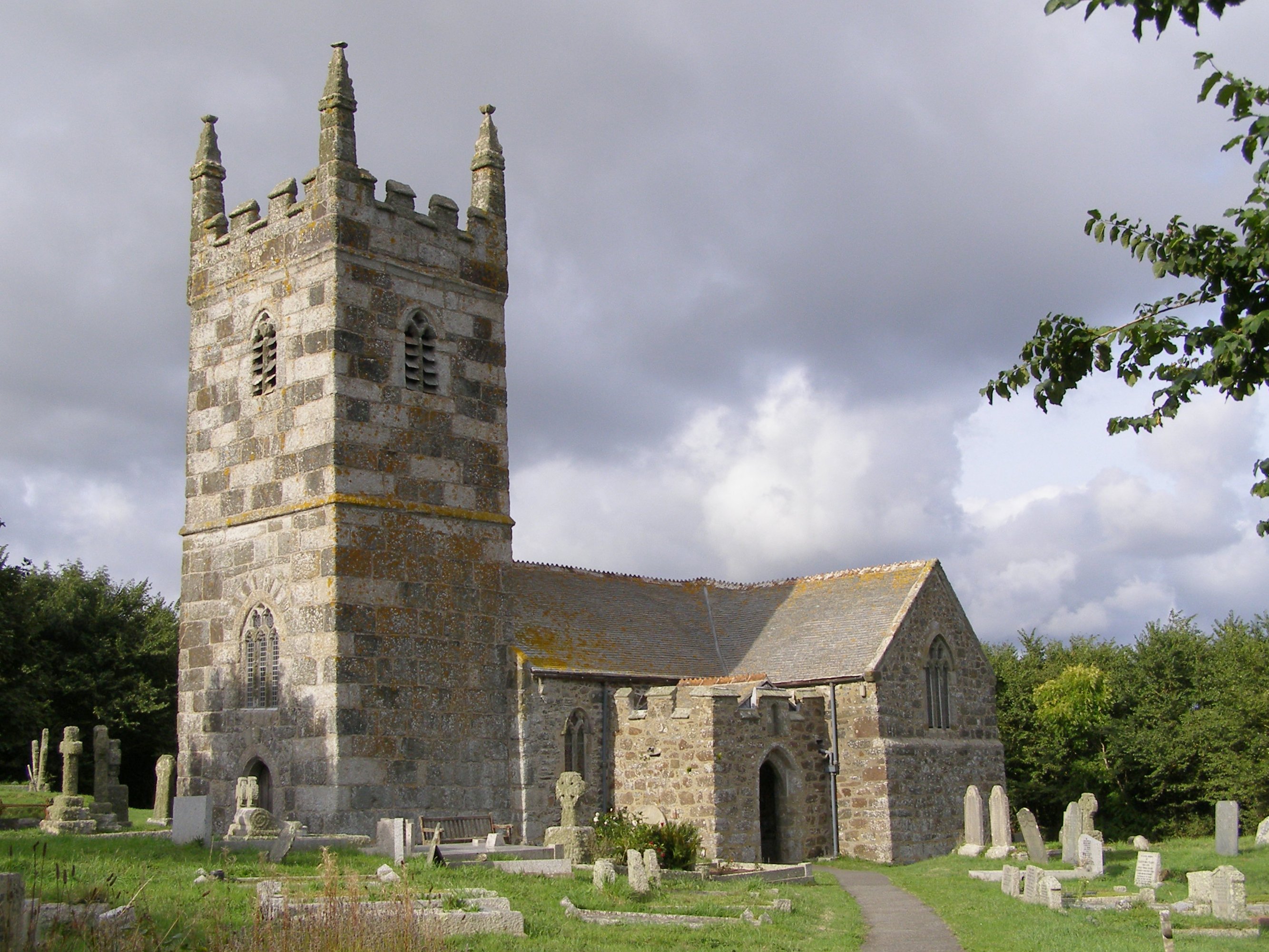
Landewednack
Landewednack (Cornish: Lanndewynnek) is a civil parish and a hamlet in Cornwall, England, United Kingdom. The hamlet is situated approximately ten miles...
Nearby Amenities
Located within 500m of 49.958256,-5.2071629Have you been to Vellan Drang?
Leave your review of Vellan Drang below (or comments, questions and feedback).