Taylor's Rock
Island in Cornwall
England
Taylor's Rock
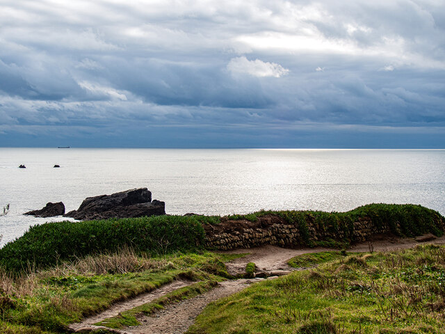
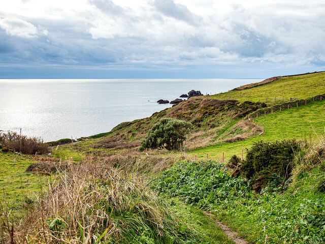
Taylor's Rock is a small island located off the coast of Cornwall, England. It is situated in the Celtic Sea, approximately 2 miles southwest of the town of Porthleven. The island is named after the renowned British explorer and cartographer, Taylor, who discovered it during his expedition in the late 18th century.
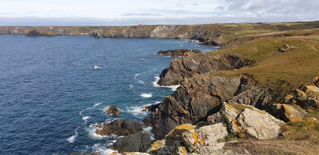
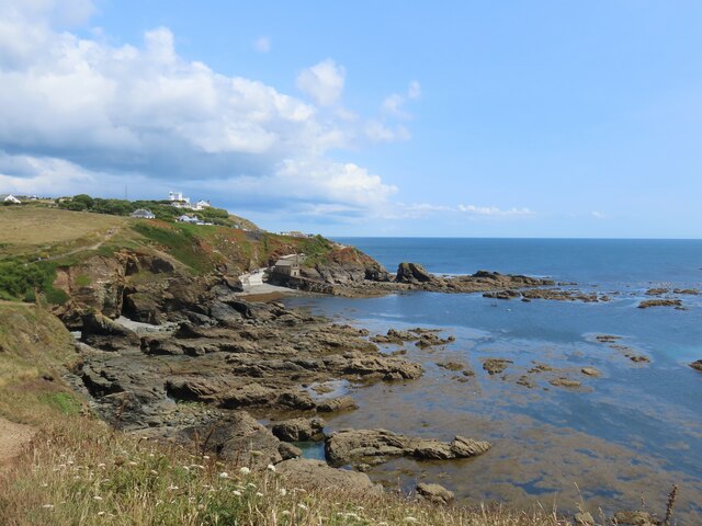
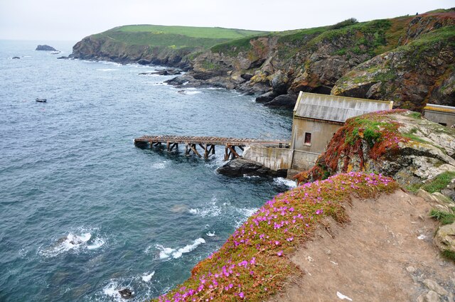
Taylor's Rock is a granite outcrop, rising about 15 meters above sea level. It has a rugged and rocky terrain, with steep cliffs and jagged edges. The island measures around 250 meters in length and 100 meters in width, making it relatively small in size.
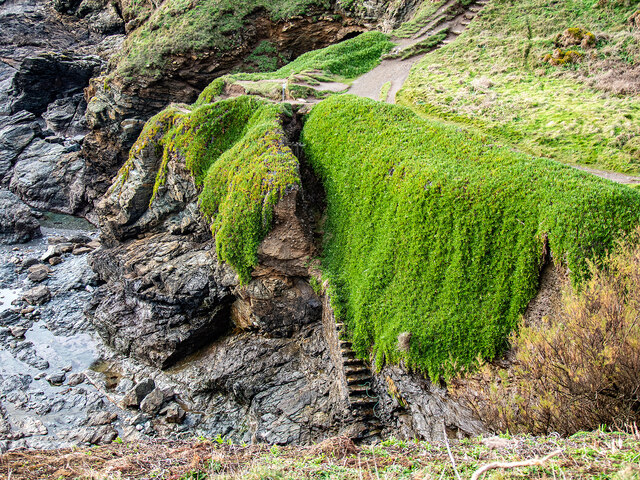
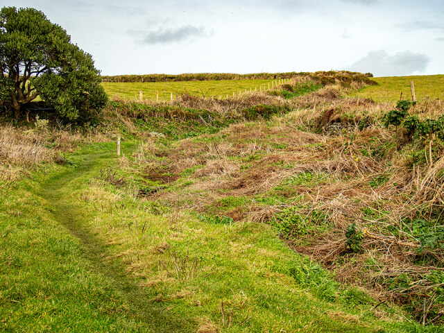
Due to its remote location and difficult access, Taylor's Rock remains largely uninhabited and untouched by human activity. There are no permanent structures or facilities on the island, making it a haven for wildlife and natural vegetation. Seabirds such as gulls, cormorants, and puffins can often be spotted nesting on the cliffs, while seals and dolphins can be seen swimming in the surrounding waters.
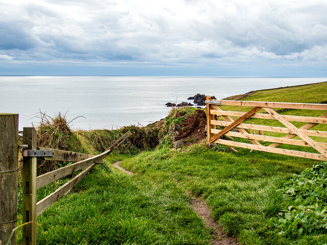
Taylor's Rock is accessible by boat, but caution is advised due to the strong currents and rocky shores. It is a popular destination for experienced divers and snorkelers, who are drawn to the island's abundant marine life and underwater caves.
Overall, Taylor's Rock offers a unique and unspoiled natural environment, making it a place of interest for nature lovers and adventure seekers looking to explore Cornwall's scenic coastline.
If you have any feedback on the listing, please let us know in the comments section below.
Taylor's Rock Images
Images are sourced within 2km of 49.956466/-5.2171953 or Grid Reference SW6911. Thanks to Geograph Open Source API. All images are credited.


Taylor's Rock is located at Grid Ref: SW6911 (Lat: 49.956466, Lng: -5.2171953)
Unitary Authority: Cornwall
Police Authority: Devon and Cornwall
What 3 Words
///meant.opinion.fastening. Near Landewednack, Cornwall
Nearby Locations
Related Wikis

Bugaled Breizh
MFV Bugaled Breizh is a French trawler from Loctudy, Finistère, whose sinking with all hands in 90 metres of water in the English Channel on 15 January...
Battle at The Lizard
The naval Battle of the Lizard (French: Combat du Cap Lézard) took place on 21 October 1707 during the War of the Spanish Succession near Lizard Point...
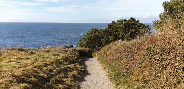
Lizard Point, Cornwall
Lizard Point (from Cornish an Lysardh 'the high court') in Cornwall is at the southern tip of the Lizard Peninsula. It is situated half-a-mile (800 m...
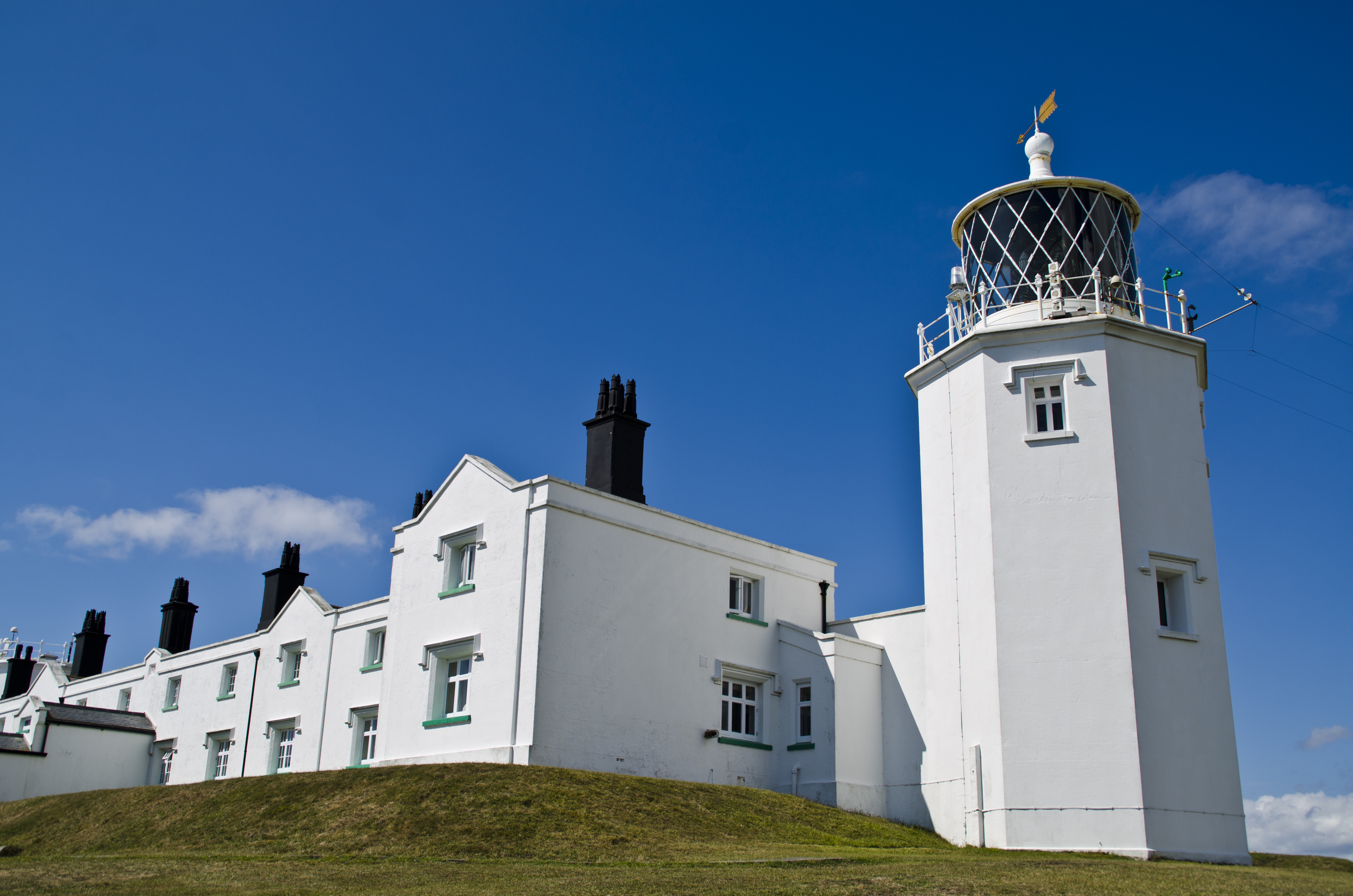
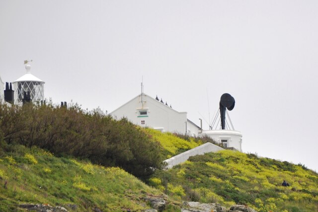
Lizard Lighthouse
The Lizard Lighthouse is a lighthouse at Lizard Point, Cornwall, England, built to guide vessels passing through the English Channel. It was often the...
Related Videos

Our favourite walk around the The Lizard, Cornwall on a perfect summer's evening!
Join us on our favourite walk around the Lizard. Excluding Kynance, which we think deserves its own stage, we take you around ...

Cornwall hiking
Travel Barny's go Hiking in Cornwall starting at the National Trust car park at Kynance Cove walking to Lizard point #cornwall ...

Exploring the Beauty of The Lizard Peninsula on Foot: A Walking Adventure in Cornwall, England
Join me on a scenic walking adventure to The Lizard Peninsula, the southernmost point of mainland Britain, located in Cornwall, ...

Walking the Lizard - A Scenic Adventure
Join us as we explore the beautiful and rugged landscapes of the Lizard peninsula on foot. Follow our journey as we take you on ...
Nearby Amenities
Located within 500m of 49.956466,-5.2171953Have you been to Taylor's Rock?
Leave your review of Taylor's Rock below (or comments, questions and feedback).