The Stags
Island in Cornwall
England
The Stags
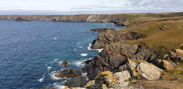
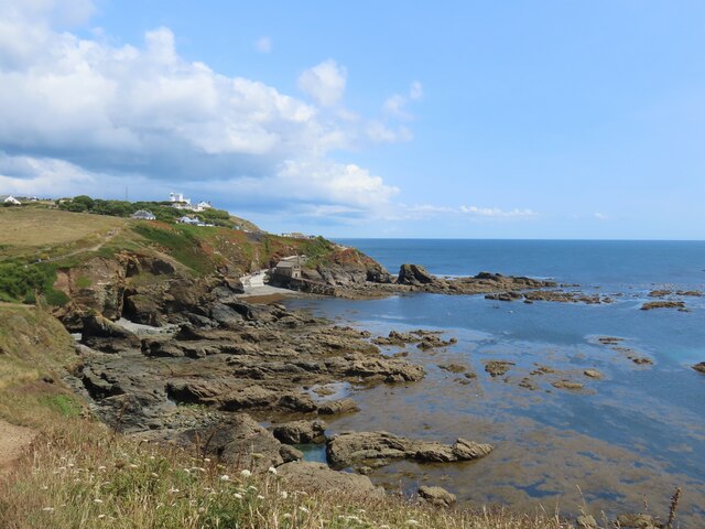
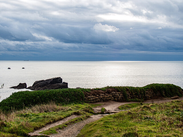
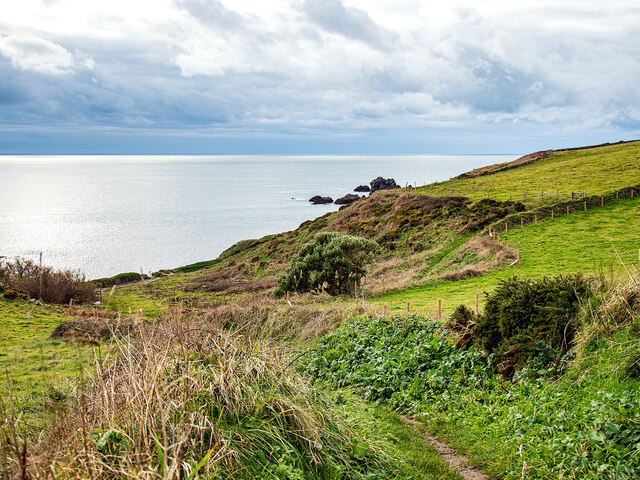
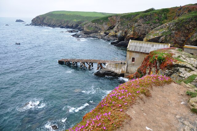
The Stags are a group of rocky islets located off the coast of Cornwall, England. These small islands are known for their rugged beauty and diverse wildlife. The Stags are a popular destination for birdwatchers, as they are home to a variety of seabirds including puffins, guillemots, and razorbills.
The islands are also known for their dramatic sea cliffs, which provide nesting sites for many seabird species. The waters surrounding The Stags are teeming with marine life, making them a popular spot for snorkeling and diving.
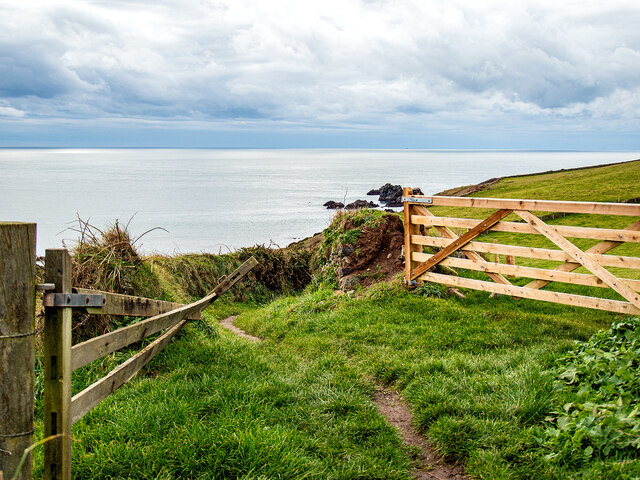
The Stags are uninhabited and are only accessible by boat. Visitors can take boat tours to explore the islands and observe the wildlife that calls them home. The rocky terrain of The Stags makes them a challenging but rewarding destination for hikers and photographers looking to capture the natural beauty of the Cornish coast.
Overall, The Stags are a peaceful and picturesque destination for nature lovers looking to experience the raw beauty of Cornwall's coastline.
If you have any feedback on the listing, please let us know in the comments section below.
The Stags Images
Images are sourced within 2km of 49.957679/-5.2178897 or Grid Reference SW6911. Thanks to Geograph Open Source API. All images are credited.


The Stags is located at Grid Ref: SW6911 (Lat: 49.957679, Lng: -5.2178897)
Unitary Authority: Cornwall
Police Authority: Devon and Cornwall
What 3 Words
///always.earphones.gobbles. Near Landewednack, Cornwall
Nearby Locations
Related Wikis

Bugaled Breizh
MFV Bugaled Breizh is a French trawler from Loctudy, Finistère, whose sinking with all hands in 90 metres of water in the English Channel on 15 January...
Battle at The Lizard
The naval Battle of the Lizard (French: Combat du Cap Lézard) took place on 21 October 1707 during the War of the Spanish Succession near Lizard Point...
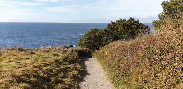
Lizard Point, Cornwall
Lizard Point (from Cornish an Lysardh 'the high court') in Cornwall is at the southern tip of the Lizard Peninsula. It is situated half-a-mile (800 m...
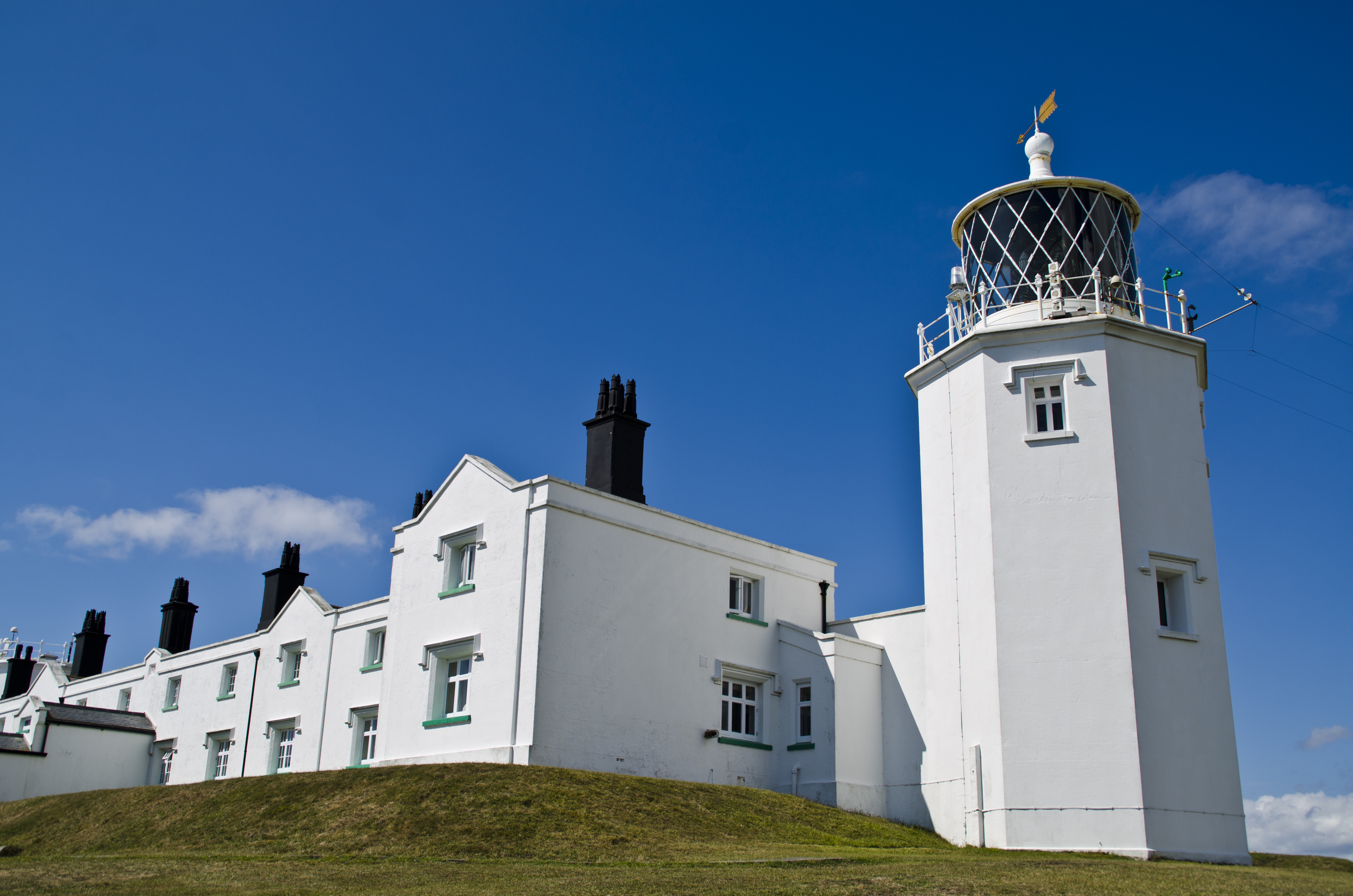
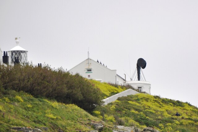
Lizard Lighthouse
The Lizard Lighthouse is a lighthouse at Lizard Point, Cornwall, England, built to guide vessels passing through the English Channel. It was often the...
Nearby Amenities
Located within 500m of 49.957679,-5.2178897Have you been to The Stags?
Leave your review of The Stags below (or comments, questions and feedback).