Eilean a' Chapuill
Island in Argyllshire
Scotland
Eilean a' Chapuill
The requested URL returned error: 429 Too Many Requests
If you have any feedback on the listing, please let us know in the comments section below.
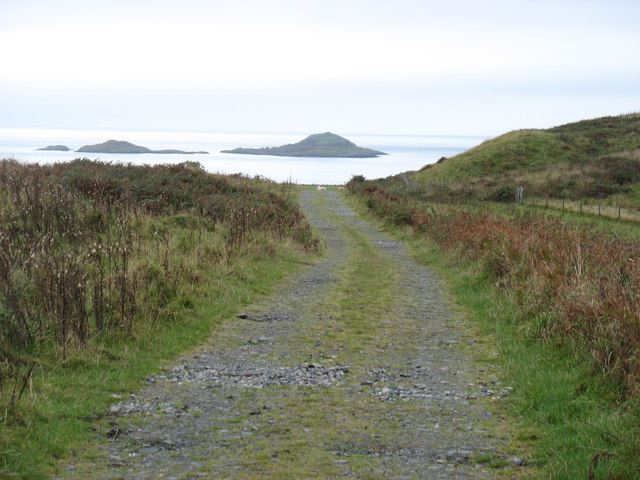
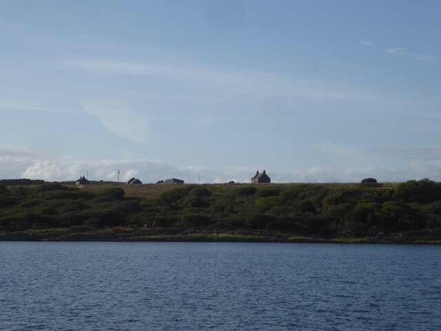
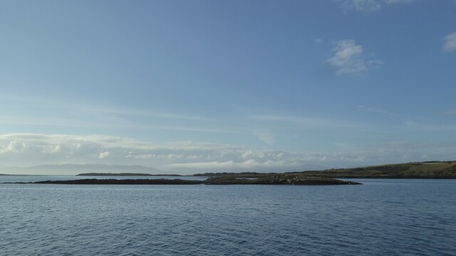
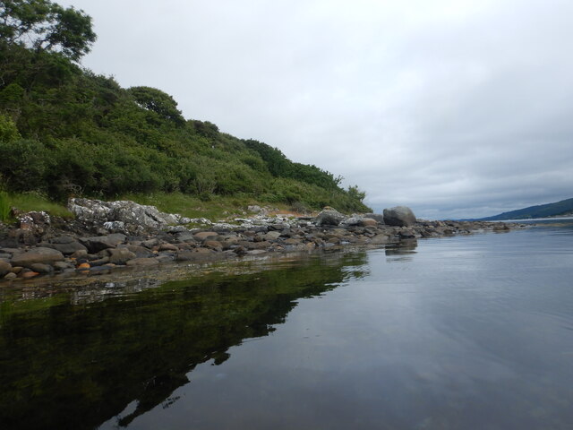
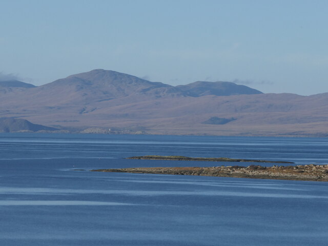
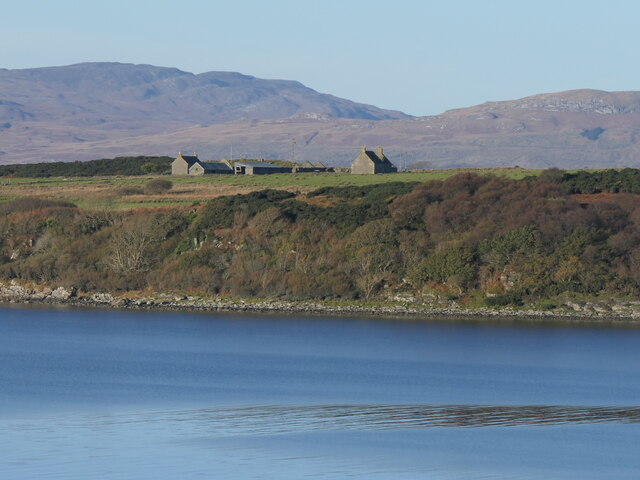
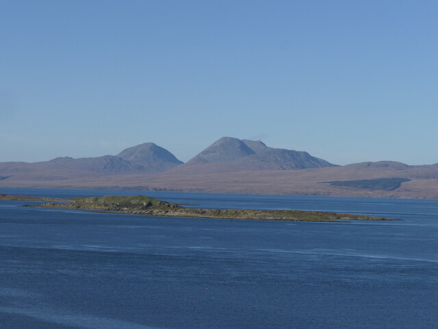
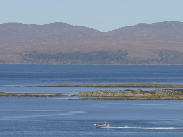
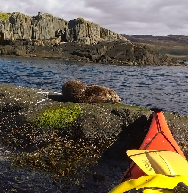
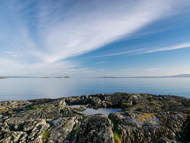
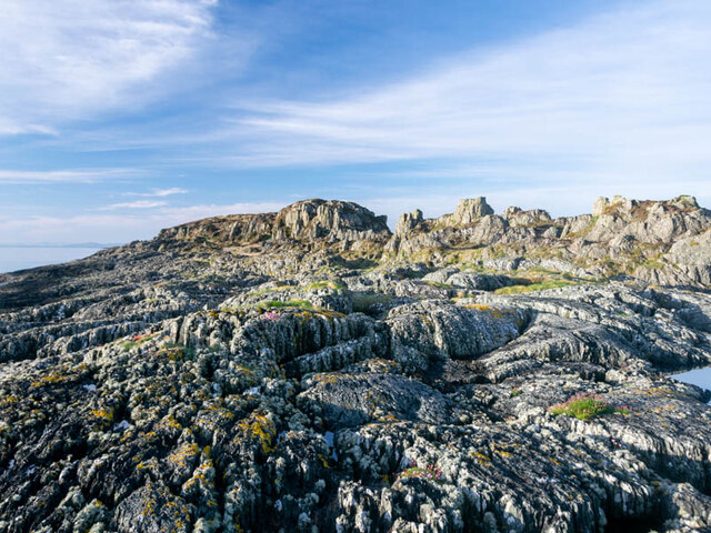
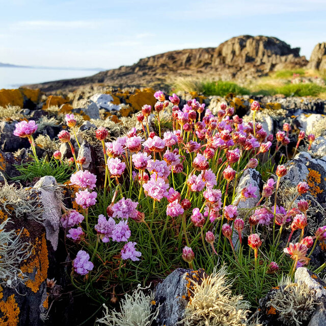
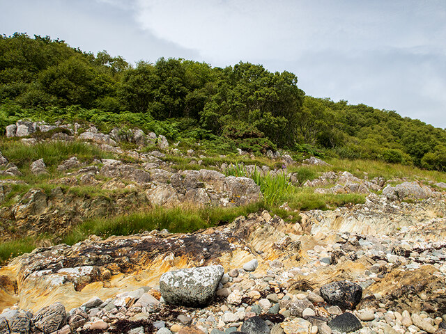
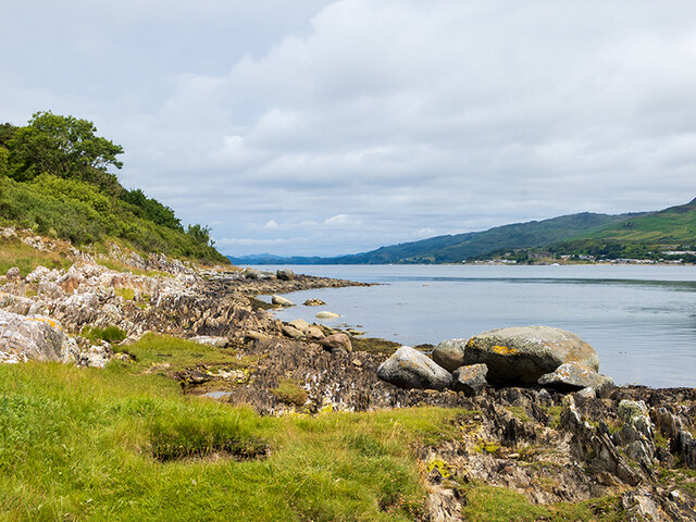
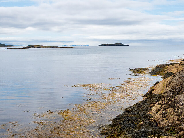
Eilean a' Chapuill Images
Images are sourced within 2km of 55.932476/-5.7022476 or Grid Reference NR6877. Thanks to Geograph Open Source API. All images are credited.


Eilean a' Chapuill is located at Grid Ref: NR6877 (Lat: 55.932476, Lng: -5.7022476)
Unitary Authority: Argyll and Bute
Police Authority: Argyll and West Dunbartonshire
What 3 Words
///occupations.transmits.weeps. Near Ardrishaig, Argyll & Bute
Nearby Locations
Related Wikis

Island of Danna
The Island of Danna or Danna (Scottish Gaelic: Danna), is an inhabited tidal island in Argyll and Bute. == Geography == It is connected to the mainland...

Kilmory Knap Chapel
Kilmory Knap Chapel is a 13th-century Christian chapel, located at the tiny hamlet of Kilmory, in Knapdale, Argyll and Bute, on the west coast of Scotland...

Kilmory, Knapdale
Kilmory (Scottish Gaelic: Cill Mhoire) is a hamlet in the civil parish of South Knapdale, on Knapdale, Argyll and Bute, Scotland. It is situated near the...

Eilean Mòr, MacCormaig Isles
Eilean Mòr ("Big Isle") is one of the MacCormaig Isles situated near the entrance to Loch Sween in the Sound of Jura, Argyll and Bute, Scotland. Eilean...
Have you been to Eilean a' Chapuill?
Leave your review of Eilean a' Chapuill below (or comments, questions and feedback).