An Dubh-sgeir
Island in Argyllshire
Scotland
An Dubh-sgeir
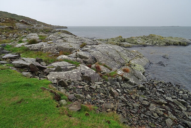
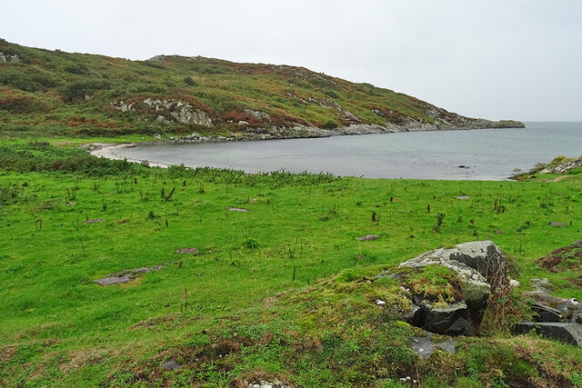
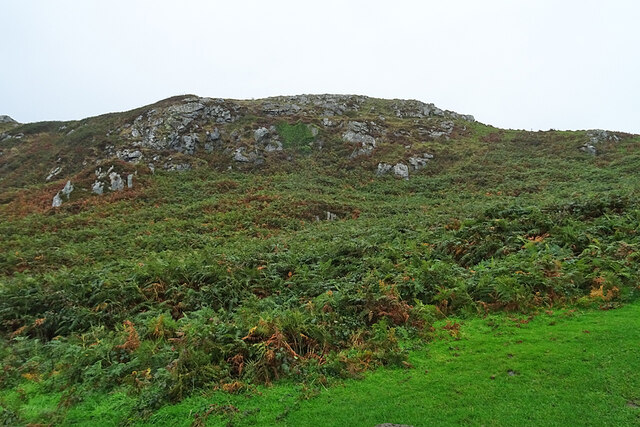
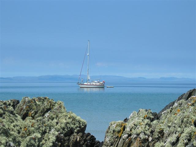
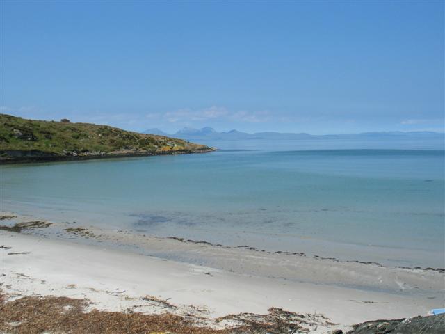
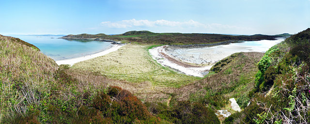
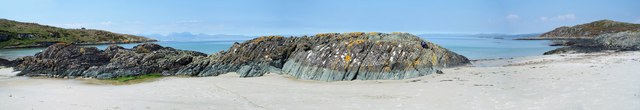
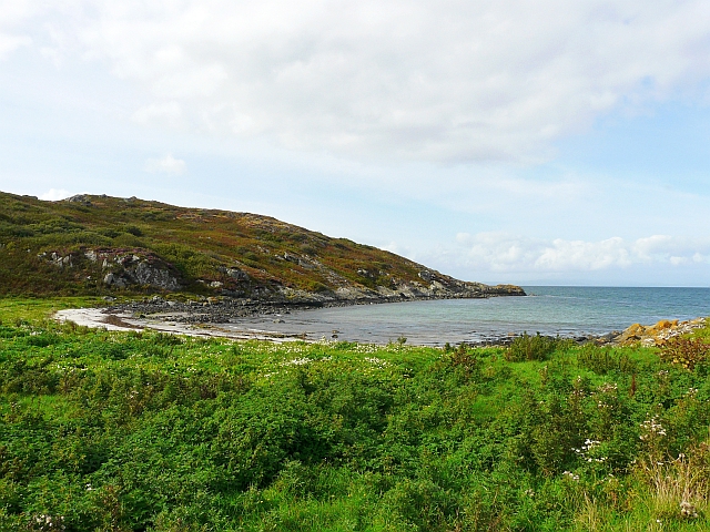
An Dubh-sgeir is a small uninhabited island located off the west coast of Scotland in Argyllshire. It is part of the Inner Hebrides archipelago and lies in the Sound of Islay, between the islands of Islay and Jura. With an area of approximately 13.5 acres, An Dubh-sgeir is a rocky and jagged island characterized by its rugged cliffs and stunning coastal scenery.
The name "An Dubh-sgeir" translates to "The Black Rock" in Gaelic, which accurately describes the island's dark-colored rock formations. These rocks are a result of ancient volcanic activity and provide a stark contrast against the turquoise waters surrounding the island.
Despite its small size, An Dubh-sgeir is known for its rich and diverse wildlife. The surrounding waters are home to various species of marine life, including seals, dolphins, and numerous seabirds such as guillemots and puffins. The island's cliffs also serve as nesting sites for seabirds, creating a bustling ecosystem.
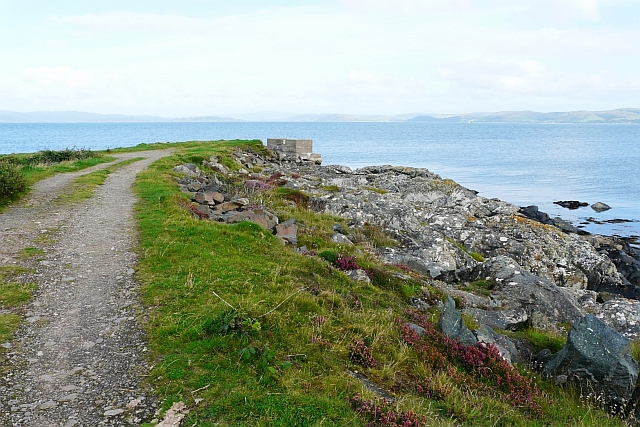
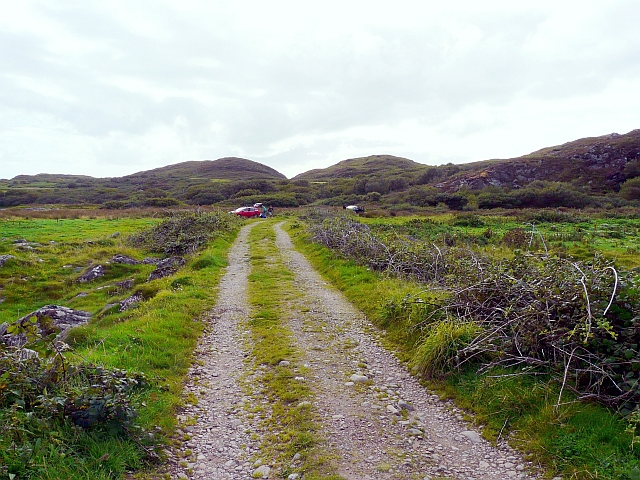
Due to its remote and inaccessible location, An Dubh-sgeir is rarely visited by humans. However, it is occasionally explored by adventurous hikers and wildlife enthusiasts who are drawn to its untouched natural beauty. The island offers breathtaking views of the surrounding islands and provides a tranquil escape from the bustling mainland.
Overall, An Dubh-sgeir is a small but captivating island off the coast of Argyllshire, offering visitors a chance to experience the ruggedness and serenity of Scotland's west coast.
If you have any feedback on the listing, please let us know in the comments section below.
An Dubh-sgeir Images
Images are sourced within 2km of 55.737725/-5.7211393 or Grid Reference NR6655. Thanks to Geograph Open Source API. All images are credited.


![Remains Of Western Ferries Linkspan Opened in September 1970 and washed away during a storm in January 1972, this and some rusting hooks and mounts embedded in nearby rocks are all that remains of the linkspan used when Western Ferries served Gigha. According to Western Ferries (Facebook posting, 15 June 2020), the linkspan was recovered and towed to Kennacraig at the time and remained stored there, evidently for decades &quot;until CMAL [Caledonian Maritime Assets Ltd] did their most recent renovations.&quot;
Roy Pedersen&#039;s book &#039;Western Ferries: Taking On Giants&#039; notes that the MV Sound of Jura would call here en route between Kennacraig and Port Askaig. It featured &#039;John Rose&#039;s newly-patented linkspan&#039; but the terminal &#039;lacked the kind of protection and aligning structure that would have been desirable&#039;.
The BBC documentary &#039;Look Stranger&#039; (1971) features footage of the terminal around 18 minutes in - see <span class="nowrap"><a title="https://www.bbc.co.uk/iplayer/episode/b01pz7cc/look-stranger-1-gigha-and-rhum" rel="nofollow ugc noopener" href="https://www.bbc.co.uk/iplayer/episode/b01pz7cc/look-stranger-1-gigha-and-rhum">Link</a><img style="margin-left:2px;" alt="External link" title="External link - shift click to open in new window" src="https://s1.geograph.org.uk/img/external.png" width="10" height="10"/></span>](https://s0.geograph.org.uk/geophotos/03/25/26/3252668_2b4a49b8.jpg)


An Dubh-sgeir is located at Grid Ref: NR6655 (Lat: 55.737725, Lng: -5.7211393)
Unitary Authority: Argyll and Bute
Police Authority: Argyll and West Dunbartonshire
What 3 Words
///airliners.diary.eyepieces. Near Craighouse, Argyll & Bute
Nearby Locations
Related Wikis

Gigha
Gigha (; Scottish Gaelic: Giogha; Scots: Gigha) or the Isle of Gigha (and formerly Gigha Island) is an island off the west coast of Kintyre in Scotland...

Sound of Gigha
The Sound of Gigha is a sound between the Inner Hebridean Isle of Gigha and Kintyre. It forms part of the Atlantic Ocean. == External links ==
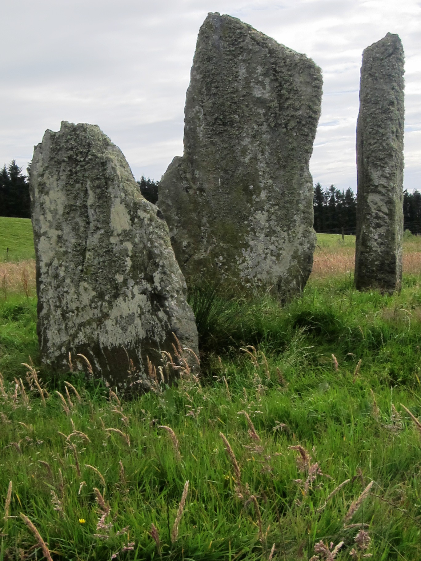
Ballochroy
Ballochroy is a megalithic site in Kintyre on the Argyll peninsula in Scotland. It consists of three vertical stones, side by side, aligned with various...

Kilchattan Chapel
Kilchattan Chapel (St Cathan's Chapel) is a ruined medieval chapel near Ardminish, Isle of Gigha, Argyll and Bute, Scotland. Built in the 13th century...

Achamore House
Achamore House is a mansion on the Isle of Gigha, Scotland. It was built in 1884 for Lt-Col William James Scarlett, and the extensive gardens were laid...

Battle of Rhunahaorine Moss
The Battle of Rhunahaorine Moss was a battle between Covenanters led by General David Leslie and Royalist forces led by Alasdair Mac Colla Chiotaich (Sir...
Tarbertshire
Tarbertshire, or the sheriffdom of Tarbert, was a shire of Scotland until 1633, when it was annexed to Argyllshire. It comprised the mainland peninsula...
Largie Castle, Rhunahaorine
Largie Castle is a ruined castle at Rhunahaorine, Argyll and Bute, Scotland. == History == The castle was built by Clan MacDonald of Largie.After the battle...
Have you been to An Dubh-sgeir?
Leave your review of An Dubh-sgeir below (or comments, questions and feedback).