Bayham, Little

Settlement in Sussex Wealdon

England

Bayham, Little

Footbridge over River Teise This bridge is used by a Natural England permissive path, leading over the river towards Furnace Wood.
Footbridge over River Teise Credit: David Anstiss

Bayham, Little is a small village located in the county of Sussex, England. Situated in the district of Rother, it is nestled amidst the picturesque countryside, offering stunning views and a tranquil environment. The village is part of the Bayham Abbey estate, which was once a Cistercian abbey founded in the 13th century.

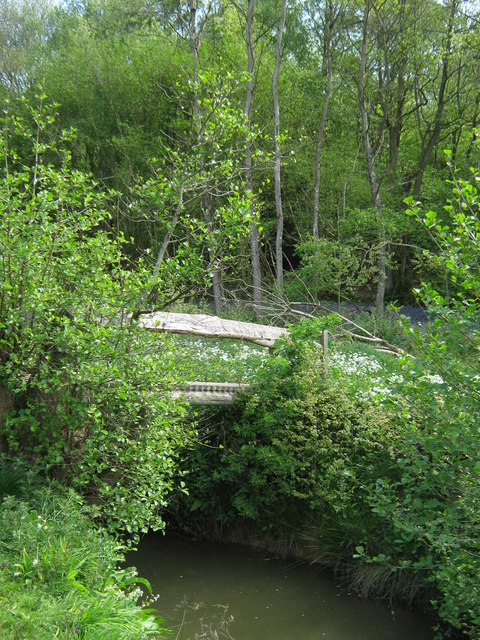
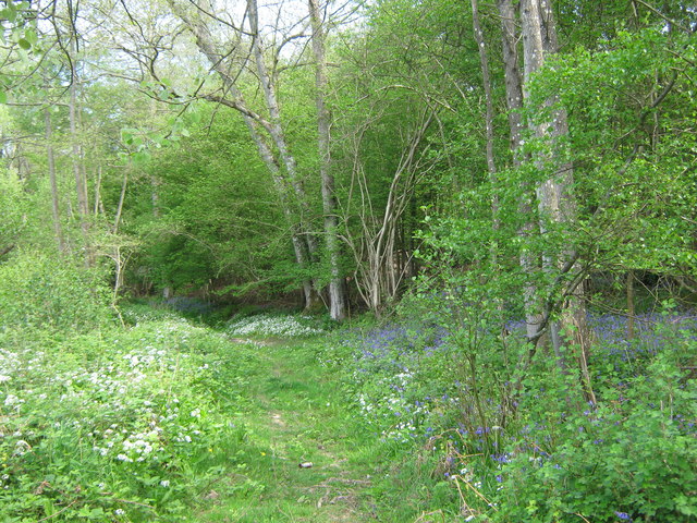
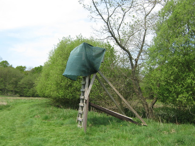
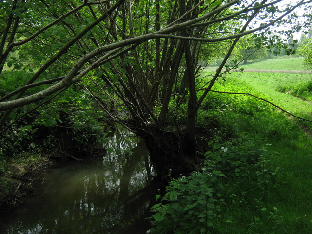
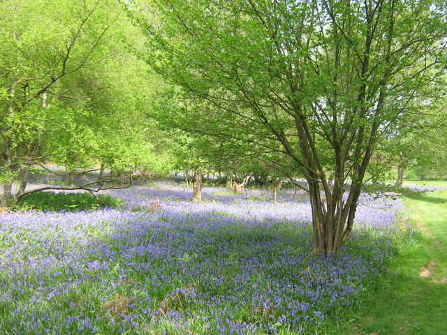
Bayham, Little is characterized by its charming rural setting, with rolling hills, lush green fields, and ancient woodlands surrounding the village. The area is known for its natural beauty and is popular among nature enthusiasts and hikers who enjoy exploring the numerous walking trails in the vicinity.

Historically, Bayham, Little has strong ties to the abbey that once stood there. Although the abbey was dissolved during the Reformation, its ruins still remain and are open to visitors. The ruins are a popular tourist attraction and provide a glimpse into the village's rich history.

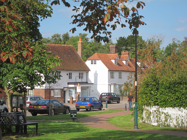
The village itself is small, with a close-knit community of residents. It has a quaint, traditional feel, with a few cottages and houses scattered along the winding lanes. Despite its size, Bayham, Little benefits from being in close proximity to larger towns and amenities, ensuring that residents have access to essential services and facilities.

In summary, Bayham, Little is a picturesque village in Sussex, offering a peaceful and idyllic lifestyle amidst stunning natural surroundings. Its historical significance and proximity to amenities make it an attractive place to live for those seeking a rural retreat.

If you have any feedback on the listing, please let us know in the comments section below.

Bayham, Little Images

Images are sourced within 2km of 51.099206/0.33945513 or Grid Reference TQ6335. Thanks to Geograph Open Source API. All images are credited.

Footbridge over River Teise This bridge is used by a Natural England permissive path, leading over the river towards Furnace Wood.
Footbridge over River Teise
This bridge is used by a Natural England permissive path, leading over the river towards Furnace Wood.
Woodland Track in Furnace Wood This track leads from Bayham Lake through Furnace Wood towards Brown's Lodge.
On the left are masses of Wild Garlic and on the right (under the trees) are bluebells.
Woodland Track in Furnace Wood
This track leads from Bayham Lake through Furnace Wood towards Brown's Lodge. On the left are masses of Wild Garlic and on the right (under the trees) are bluebells.
Bluebells in Furnace Wood  As seen from the woodland track beside the wood.
Bluebells in Furnace Wood
As seen from the woodland track beside the wood.
Track in Furnace Wood This track leads from Tollslye Cottage near Bayham Lake, through the wood towards Brown's Lodge on Dundale Road.
Track in Furnace Wood
This track leads from Tollslye Cottage near Bayham Lake, through the wood towards Brown's Lodge on Dundale Road.
River Teise in Furnace Wood This long river flows from Great Bayhall Farm through the wood towards Bayham Lake. The section from Dundale Road towards the lake is also the country boundary. The wild garlic and bluebells are in Kent, across the river is East Sussex.
River Teise in Furnace Wood
This long river flows from Great Bayhall Farm through the wood towards Bayham Lake. The section from Dundale Road towards the lake is also the country boundary. The wild garlic and bluebells are in Kent, across the river is East Sussex.
Wild Garlic in Jews Wood As seen from a track leading into the wood. On the right are a few bluebells.
Wild Garlic in Jews Wood
As seen from a track leading into the wood. On the right are a few bluebells.
Track junction in Jews Wood A woodland track from Oxpasture Wood leads straight on towards Tollslye Cottage and Bayham Abbey. The track on the right climbs up and around to Bayham Lake.
Track junction in Jews Wood
A woodland track from Oxpasture Wood leads straight on towards Tollslye Cottage and Bayham Abbey. The track on the right climbs up and around to Bayham Lake.
Track in Jews Wood This track leads from Oxpasture Wood, towards Bayham Lake.
Track in Jews Wood
This track leads from Oxpasture Wood, towards Bayham Lake.
Long Track in Jews Wood This very long straight track leads from Bayham Abbey and Lake towards Oxpasture Wood.
Long Track in Jews Wood
This very long straight track leads from Bayham Abbey and Lake towards Oxpasture Wood.
Stream in Jews Wood This woodland stream, leads from Oxpasture Wood, through Jews Wood and into the River Teise feeding into Bayham Lake.
Stream in Jews Wood
This woodland stream, leads from Oxpasture Wood, through Jews Wood and into the River Teise feeding into Bayham Lake.
Hide beside the River Teise This raised view point gives a view of the wildlife around the River (on the right).
Hide beside the River Teise
This raised view point gives a view of the wildlife around the River (on the right).
River Teise This river leads from Siseley Wood, around Great Bayhall, and then through Furnace Wood, heading towards Bayham Lake. This is close to Furnace Wood.
River Teise
This river leads from Siseley Wood, around Great Bayhall, and then through Furnace Wood, heading towards Bayham Lake. This is close to Furnace Wood.
Bluebells in Coneyburrow Wood As seen from a woodland permissive path beside the River Teise.
Bluebells in Coneyburrow Wood
As seen from a woodland permissive path beside the River Teise.
Bluebells in Coneyburrow Wood As seen from a woodland permissive path beside the River Teise.
Bluebells in Coneyburrow Wood
As seen from a woodland permissive path beside the River Teise.
View of Bayham Abbey As seen from Clay Hill Road.
Looks across the old ruins of the former abbey beside the River Teise.
View of Bayham Abbey
As seen from Clay Hill Road. Looks across the old ruins of the former abbey beside the River Teise.
Damselfly near Hook Green Beside a footpath near B2169 Bayham Road, on a private hedge.
A female Beautiful Demoiselle, (Calopteryx virgo).

See <span class="nowrap"><a title="http://en.wikipedia.org/wiki/Beautiful_Demoiselle" rel="nofollow ugc noopener" href="http://en.wikipedia.org/wiki/Beautiful_Demoiselle">Link</a><img style="margin-left:2px;" alt="External link" title="External link - shift click to open in new window" src="https://s1.geograph.org.uk/img/external.png" width="10" height="10"/></span> for more details.
My first of the year!
Damselfly near Hook Green
Beside a footpath near B2169 Bayham Road, on a private hedge. A female Beautiful Demoiselle, (Calopteryx virgo). See LinkExternal link for more details. My first of the year!
Access road to Bayham Old Abbey This access road leads from the B2169 towards the English Heritage site of Bayham Old Abbey (ruins).
Access road to Bayham Old Abbey
This access road leads from the B2169 towards the English Heritage site of Bayham Old Abbey (ruins).
B2169 Bayham Road This road leads from Spray Hill, near Lamberhurst towards Frant and onwards to Tunbridge Wells.
B2169 Bayham Road
This road leads from Spray Hill, near Lamberhurst towards Frant and onwards to Tunbridge Wells.
Show me another place!

Bayham, Little is located at Grid Ref: TQ6335 (Lat: 51.099206, Lng: 0.33945513)

Administrative County: East Sussex

District: Wealdon

Police Authority: Sussex

What 3 Words

///lightbulb.bronzed.eyeful. Near Lamberhurst, Kent

Related Wikis

Bayham Old Abbey

Bayham Old Abbey is an English Heritage property, located near Lamberhurst, Kent, England. Founded c. 1208 through a combination of the failing Premonstratensian...

Tunbridge Wells (UK Parliament constituency)

Tunbridge Wells is a constituency in Kent represented in the House of Commons of the UK Parliament since 2005 by Greg Clark, a Conservative who served...

Rehoboth Chapel, Pell Green

Rehoboth Chapel is a former Strict Baptist place of worship in the hamlet of Pell Green in East Sussex, England. Pell Green is in the parish of Wadhurst...

Lamberhurst Quarter

Lamberhurst Quarter is a hamlet on the A21 road, in the English county of Kent. It is near the village of Lamberhurst. == References == http://getamap...

Frant railway station

Frant railway station is on the Hastings line in East Sussex, England, and serves the civil parish of Frant (although the station is actually located some...

Wadhurst railway station

Wadhurst railway station is on the Hastings line in the south of England and serves the town of Wadhurst, East Sussex. It is 39 miles 23 chains (63.2 km...

Brookland Wood

Brookland Wood is a 10.9-hectare (27-acre) biological Site of Special Scientific Interest east of Tunbridge Wells in Kent.This site has diverse types of...

Lamberhurst

Lamberhurst ( is a village and civil parish in the borough of Tunbridge Wells in Kent, England. The parish contains the hamlets of The Down and Hook Green...

Nearby Amenities

Located within 500m of 51.099206,0.33945513
Post Box
Operator: Royal Mail
Operator Wikidata: Q638098
Post Box Type: wall
Ref: TN3 137
Royal Cypher: VR
Royal Cypher Wikidata: Q33102356
Lat/Long: 51.0992966/0.3395523
Little Bayham
Place: hamlet
Lat/Long: 51.0993281/0.3384519
The data included in this document is from www.openstreetmap.org. The data is made available under ODbL.

Have you been to Bayham, Little?

Leave your review of Bayham, Little below (or comments, questions and feedback).