Western Shag Rock

Island in Cornwall

England

Western Shag Rock

Views out to sea from PROW
Views out to sea from PROW Credit: thejackrustles

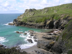
Western Shag Rock is a small uninhabited island located off the coast of Cornwall, England. Situated in the Celtic Sea, it lies approximately 1.5 kilometers southwest of Land's End, the westernmost point of the mainland. The island covers an area of about 0.1 hectares and is formed from rugged granite, characteristic of the nearby Land's End peninsula.

The island is named after the shag bird species, known for its distinctive tufted crest and vibrant plumage, which can often be observed nesting on the cliffs surrounding the rock. Western Shag Rock is a designated Site of Special Scientific Interest (SSSI) due to its importance as a breeding ground for these birds, as well as its unique geological features.

Accessible only by boat, the island offers breathtaking views of the surrounding Atlantic Ocean, with its jagged coastline and dramatic cliffs. The area is a popular destination for birdwatchers and wildlife enthusiasts, who come to observe the colonies of seabirds, including guillemots, razorbills, and kittiwakes, that inhabit the rock face.

Due to its exposed location, Western Shag Rock is subject to strong currents and turbulent seas, making it a challenging location for navigation. It is important for boaters and visitors to exercise caution when approaching the island. The area is also rich in marine life, with sightings of seals and dolphins reported in the surrounding waters.

Overall, Western Shag Rock serves as an important sanctuary for wildlife and offers visitors a unique opportunity to appreciate the natural beauty of Cornwall's coastal landscape.

If you have any feedback on the listing, please let us know in the comments section below.

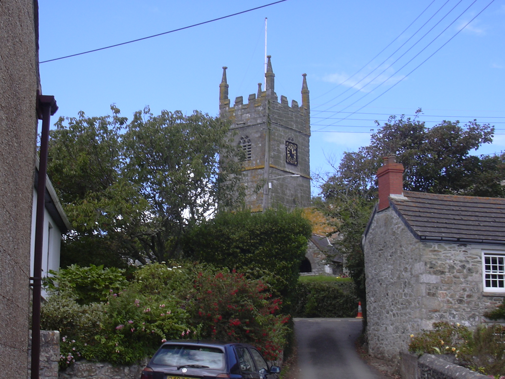
Western Shag Rock Images

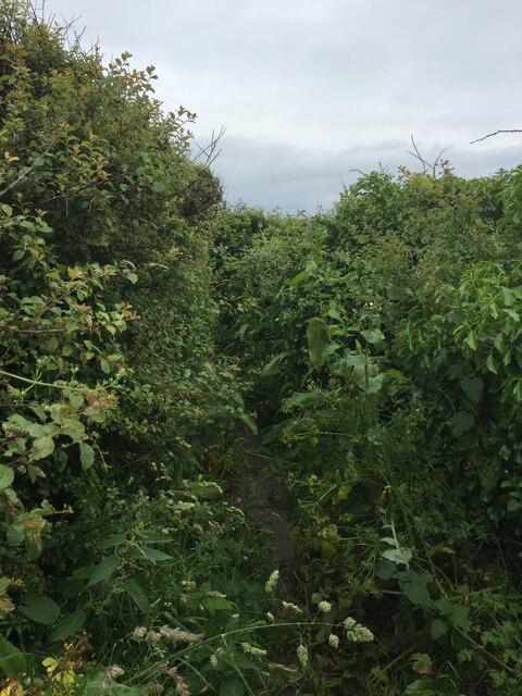
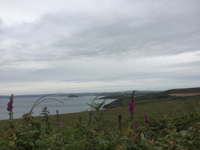
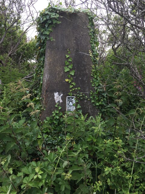
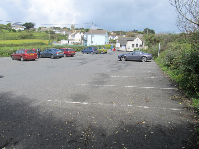
Images are sourced within 2km of 50.098154/-5.4295043 or Grid Reference SW5427. Thanks to Geograph Open Source API. All images are credited.

Views out to sea from PROW
Very overgrown footpath
Lovely coastline
Lovely coastline
Cudden Point Trig Point Flush Bracket S8075 <span class="nowrap"><a title="http://trigpointing.uk/trig/2667" rel="nofollow ugc noopener" href="http://trigpointing.uk/trig/2667">Link</a><img style="margin-left:2px;" alt="External link" title="External link - shift click to open in new window" src="https://s1.geograph.org.uk/img/external.png" width="10" height="10"/></span>
Cudden Point Trig Point Flush Bracket S8075
Coastal views
Coastal views
Prussia Cove
Prussia Cove
Looking down on Kenneggy Sand
Looking along Kenneggy Cliff  From the old mine.
Looking along Kenneggy Cliff
From the old mine.
The old mine above Kenneggy Sand
The footpath near the old mine
Farm tracks and footpaths A complicated junction on the way to the Coast Path.
Farm tracks and footpaths
A complicated junction on the way to the Coast Path.
The entrance to Higher Kenneggy wild camping site
Higher Kenneggy wild campsite Very few facilities, if not exactly 'wild'.
Higher Kenneggy wild campsite
Very few facilities, if not exactly 'wild'.
Former Wesleyan Methodist Chapel
Cudden Point and The Greeb From St Michael's Mount
Cudden Point and The Greeb
From St Michael's Mount
Old Fishermens Huts These old Huts are at the top of Bessy's Cove
Old Fishermens Huts
These old Huts are at the top of Bessy's Cove
 Perran Sands at Perranuthnoe
Perran Sands at Perranuthnoe
Car park at Perranuthnoe
Show me another place!

Western Shag Rock is located at Grid Ref: SW5427 (Lat: 50.098154, Lng: -5.4295043)

Unitary Authority: Cornwall

Police Authority: Devon and Cornwall

What 3 Words

///generally.thrusters.swam. Near Germoe, Cornwall

Related Wikis

Prussia Cove

Prussia Cove (Cornish: Porth Legh), formerly called King's Cove, is a small private estate on the coast of Mount's Bay and to the east of Cudden Point...

Acton Castle

Acton Castle is a small castellated mansion near Perranuthnoe, Cornwall. It is a Grade II* listed building. It was built c. 1775, and according to some...

Kenneggy

Kenneggy comprises two separate hamlets, Higher Kenneggy (Cornish: Keunegi Wartha) to the west and Lower Kennegy (Cornish: Keunegi Woles) to the east,...

Perranuthnoe

Perranuthnoe () is a civil parish and a village in southwest Cornwall, England, United Kingdom. The parish population at the 2011 census was 2,184. The...

Nearby Amenities

Located within 500m of 50.098154,-5.4295043
Source: PGS
Lat/Long: 50.100473/-5.427234
Created By: almien_coastlines
Source: PGS
Lat/Long: 50.099975/-5.427927
Source: PGS
Lat/Long: 50.0994296/-5.4281172
Source: PGS
Lat/Long: 50.0987505/-5.4281548
Source: PGS
Lat/Long: 50.0982345/-5.42871
Source: PGS
Lat/Long: 50.097621/-5.4291944
Source: PGS
Lat/Long: 50.0972216/-5.4289951
Source: PGS
Lat/Long: 50.0969979/-5.4290662
Source: PGS
Lat/Long: 50.0969322/-5.4289229
Source: PGS
Lat/Long: 50.097388/-5.4283685
Source: PGS
Lat/Long: 50.0976397/-5.4278224
Source: PGS
Lat/Long: 50.0983097/-5.4272077
Source: PGS
Lat/Long: 50.0981013/-5.4269276
Source: PGS
Lat/Long: 50.0981518/-5.4263223
Source: PGS
Lat/Long: 50.0986839/-5.4259658
Source: PGS
Lat/Long: 50.0987756/-5.4246411
Source: PGS
Lat/Long: 50.0984511/-5.4237211
Source: PGS
Lat/Long: 50.0984288/-5.4233654
Source: PGS
Lat/Long: 50.0986215/-5.4228783
Source: PGS
Lat/Long: 50.0989757/-5.4227976
Description: OS trig pillar
Ele: 62.038
Man Made: survey_point
Note: Accurate location import for imagery offset calibration
Ref: S8075
Source: Ordnance Survey (OGL)
Survey Point: pillar
Lat/Long: 50.1005921/-5.424882
Cudden Point
Natural: peninsula
Lat/Long: 50.0992122/-5.4269548
The data included in this document is from www.openstreetmap.org. The data is made available under ODbL.

Have you been to Western Shag Rock?

Leave your review of Western Shag Rock below (or comments, questions and feedback).