Liath Sgeirean
Island in Argyllshire
Scotland
Liath Sgeirean
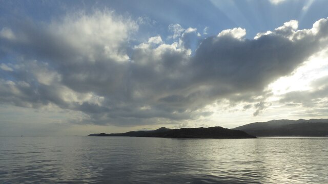
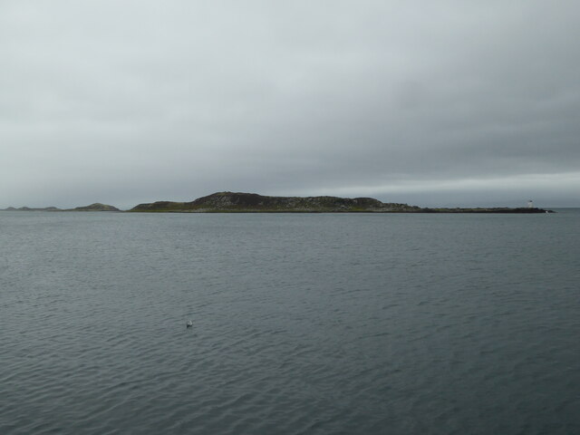
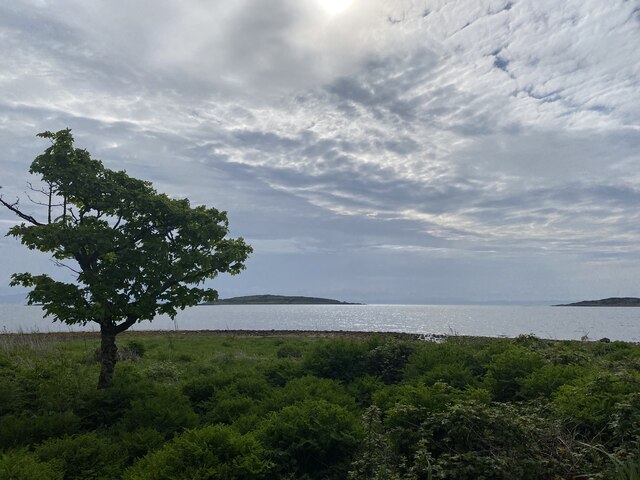
Liath Sgeirean is a small island located off the coast of Argyllshire in western Scotland. It is situated in the Inner Hebrides, specifically in the Sound of Jura, between the mainland and the Isle of Jura. The island is approximately 0.6 hectares in size, measuring about 150 meters long and 40 meters wide.
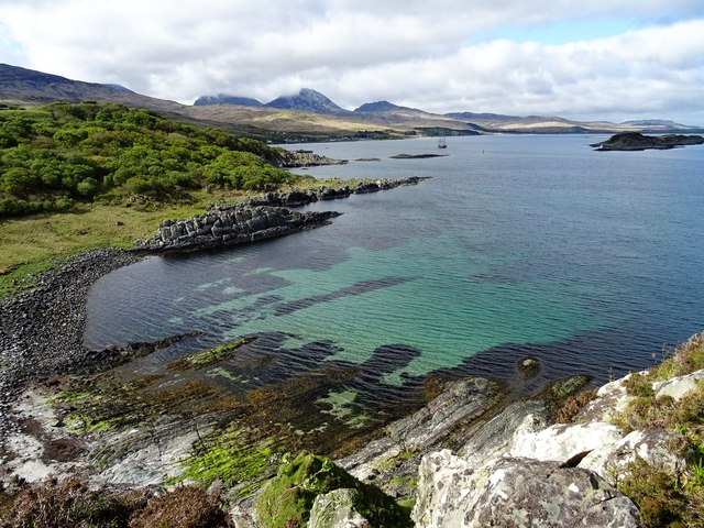
Liath Sgeirean is known for its unique geological features, primarily its rocky shoreline and distinctive basalt columns. These hexagonal columns were formed through volcanic activity millions of years ago and are similar to the famous Giant's Causeway in Northern Ireland. The island's name, Liath Sgeirean, translates to "grey skerries" in Gaelic, referring to the grayish color of the rocks.
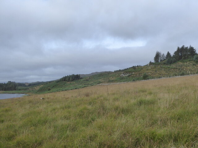
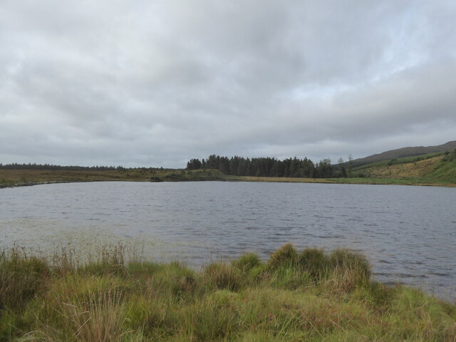
The island is uninhabited and lacks any infrastructure or facilities. It is mainly visited by tourists and nature enthusiasts who are drawn to its rugged beauty and wildlife. Seabirds such as gannets, puffins, and razorbills can often be spotted nesting on the cliffs surrounding the island. Additionally, seals and dolphins are occasionally seen swimming in the surrounding waters.
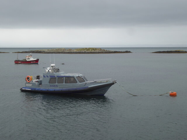
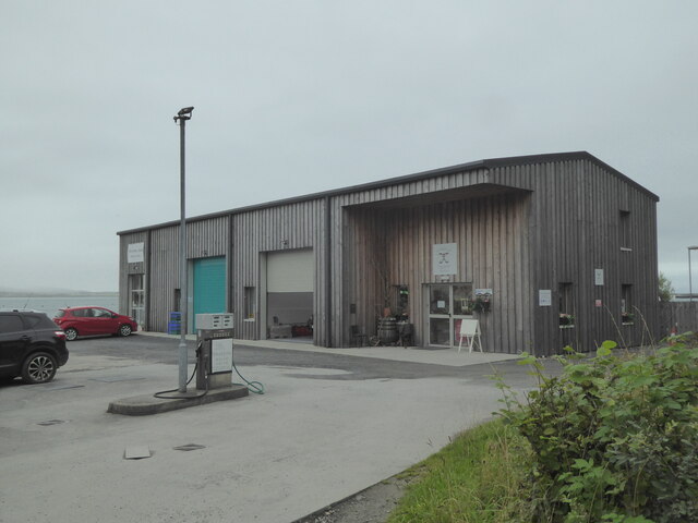
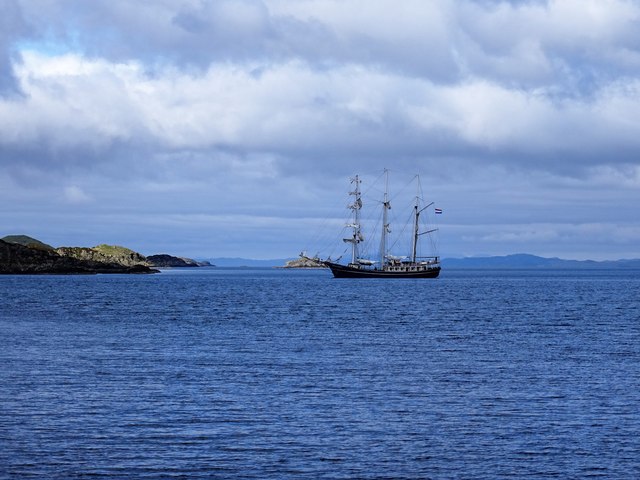
Access to Liath Sgeirean is primarily by boat, with various tour operators offering trips to the island. Due to its small size and lack of amenities, visitors are advised to bring their own provisions and take appropriate precautions for rough terrain and unpredictable weather conditions. The island offers a tranquil and picturesque setting, allowing visitors to immerse themselves in the natural beauty of the Scottish Isles.
If you have any feedback on the listing, please let us know in the comments section below.
Liath Sgeirean Images
Images are sourced within 2km of 55.831648/-5.9419266 or Grid Reference NR5366. Thanks to Geograph Open Source API. All images are credited.

Liath Sgeirean is located at Grid Ref: NR5366 (Lat: 55.831648, Lng: -5.9419266)
Unitary Authority: Argyll and Bute
Police Authority: Argyll and West Dunbartonshire
What 3 Words
///revamping.closets.voting. Near Craighouse, Argyll & Bute
Related Wikis

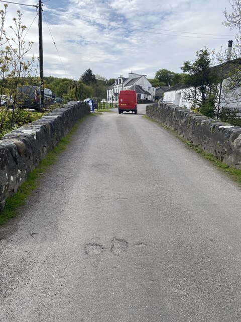
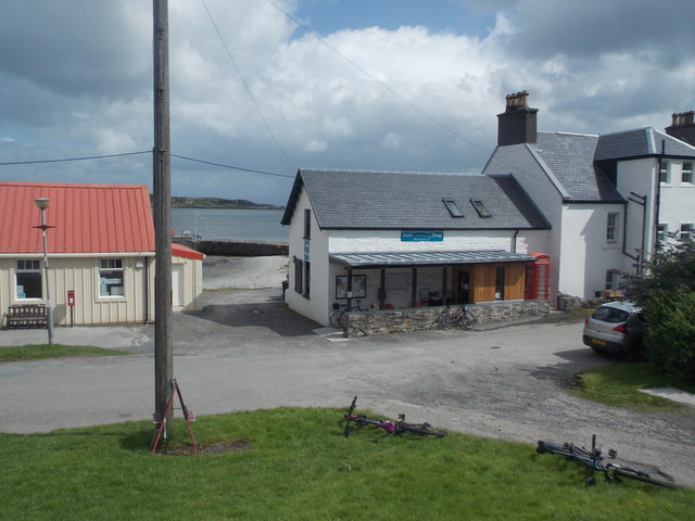
Craighouse
Craighouse (Scottish Gaelic: Taigh na Creige) is the main settlement and capital of the Scottish Inner Hebridean island of Jura, in Argyll and Bute. In...
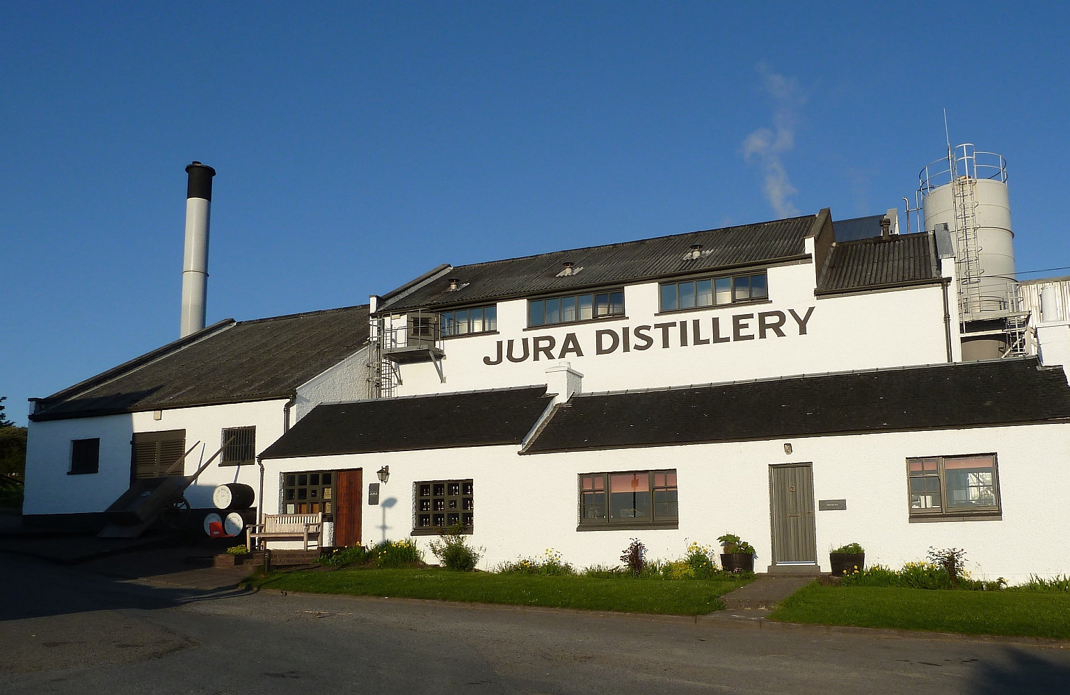
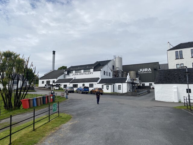
Jura distillery
Jura distillery is a Scotch whisky distillery on the island of Jura in the Inner Hebrides off the West Coast of Scotland. The distillery is operated by...

Keils
Keils formerly Kilearnadill is a hamlet 0.25 miles (0.40 km) from Craighouse on the island of Jura, in the council area of Argyll and Bute, Scotland. Keils...

Small Isles, Argyll
The Small Isles are a group of uninhabited islands east of Jura, in the council area of Argyll and Bute, Scotland. From south to north, the five islands...

Ardfernal
Ardfernal (Scottish Gaelic: Àird Fheàrnail) is a hamlet on the island of Jura in Argyll and Bute, Scotland. The township had 16 buildings in 1882 and 9...

Knockrome
Knockrome is a hamlet on the island of Jura, in the civil parish of Jura, in the council area of Argyll and Bute, Scotland. On the 1982 OS 1:10000 map...

Ardfin
Ardfin is a country estate on the island of Jura, Inner Hebrides, Scotland. It is situated at the southern tip of the island, between Feolin and Craighouse...

Claig Castle
Claig Castle was a stronghold of the Clan Donald or MacDonald in the south of Scotland. == History == The castle was once a massive fort described as a...
Nearby Amenities
Located within 500m of 55.831648,-5.9419266Have you been to Liath Sgeirean?
Leave your review of Liath Sgeirean below (or comments, questions and feedback).