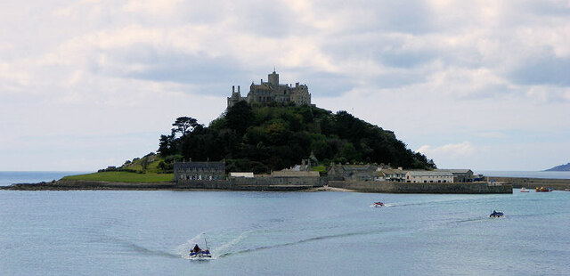
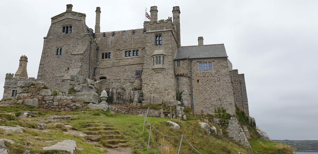
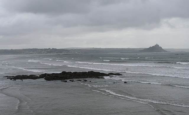
Ryeman

Island in Cornwall

England

Ryeman

St Michael's Mount Morning visitors gather at the west entrance to the castle on the last warm day of summer 2021.
St Michael's Mount Credit: Jonathan Billinger

The requested URL returned error: 429 Too Many Requests

If you have any feedback on the listing, please let us know in the comments section below.
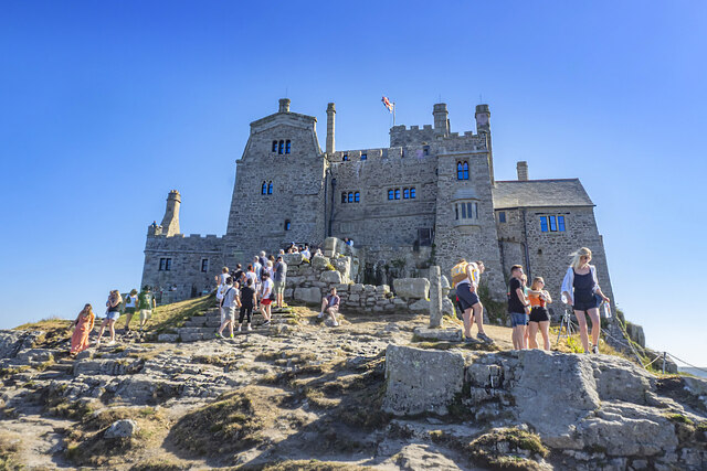
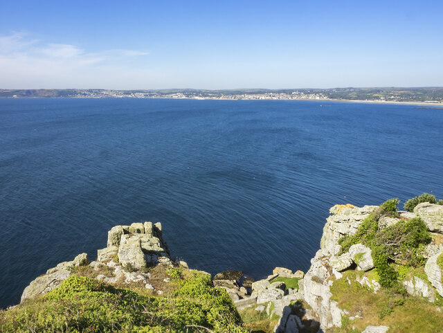
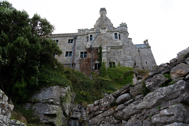
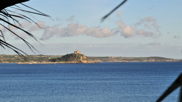
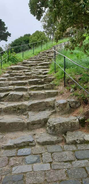
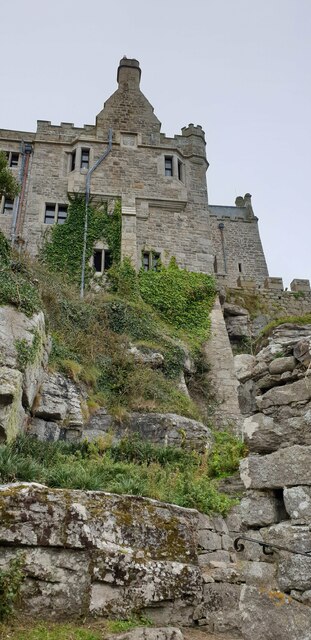
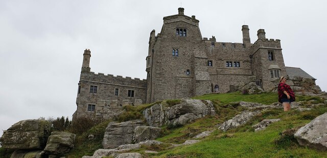
Ryeman Images

Images are sourced within 2km of 50.121291/-5.5048031 or Grid Reference SW4930. Thanks to Geograph Open Source API. All images are credited.

St Michael's Mount Morning visitors gather at the west entrance to the castle on the last warm day of summer 2021.
St Michael's Mount
Morning visitors gather at the west entrance to the castle on the last warm day of summer 2021.
Rocky cliff top View west from below the castle entrance.
Penzance in the distance.
Rocky cliff top
View west from below the castle entrance. Penzance in the distance.
Castle of St Michael's Mount viewed from footpath below
St Michael's Mount From Penzance
St Michael's Mount
From Penzance
Madron : St Michael's Mount From Trengwaiton Estate looking across to St Michael's Mount.
Madron : St Michael's Mount
From Trengwaiton Estate looking across to St Michael's Mount.
St Michael's Mount Seen across the causeway which is available when the tide is low.
St Michael's Mount
Seen across the causeway which is available when the tide is low.
St Michael's Mount Looking back across the causeway which is walkable when the tide is out.
St Michael's Mount
Looking back across the causeway which is walkable when the tide is out.
Penzance : Mousehole - Coastal Scenery Looking across the bay towards St Michael's Mount.
Penzance : Mousehole - Coastal Scenery
Looking across the bay towards St Michael's Mount.
St Michael's Mount
St Michael's Mount
Steps up St Michael's Mount Steep, uneven steps up to St Michael's Mount.
Steps up St Michael's Mount
Steep, uneven steps up to St Michael's Mount.
The castle, St Michael's Mount Viewed from the winding path below.
The castle, St Michael's Mount
Viewed from the winding path below.
St Michael's Mount castle The castle's west face from down the mount.
St Michael's Mount castle
The castle's west face from down the mount.
St Michael's Mount castle A view of the castle from the west.
St Michael's Mount castle
A view of the castle from the west.
St Michael's Mount castle A view from the west at the castle on St Michael's Mount.
St Michael's Mount castle
A view from the west at the castle on St Michael's Mount.
St Michael's Mount castle The castle and rocky steps up to the entrance on St Michael's Mount.
St Michael's Mount castle
The castle and rocky steps up to the entrance on St Michael's Mount.
St Michael's Mount, Cornwall St Michael’s Mount dominates Mount's Bay; it rises majestically almost 230 feet from sea level to the tower, chapel and battlement of the castle. 

An island at high tide, from the great flood in 3000 BC, the Mount is now operated by the National Trust. It features a harbour, shops and a restaurant as well as the castle and gardens which are open to the public on certain days. Situated approximately 500 yards offshore, the Mount is reached by a causeway at low tide or by small ferry boats which operate between Marazion and the Mount's harbour at high tide.

<span class="nowrap"><a title="http://www.stmichaelsmount.co.uk/Home-Page.aspx" rel="nofollow ugc noopener" href="http://www.stmichaelsmount.co.uk/Home-Page.aspx">Link</a><img style="margin-left:2px;" alt="External link" title="External link - shift click to open in new window" src="https://s1.geograph.org.uk/img/external.png" width="10" height="10"/></span> web site
<span class="nowrap"><a title="http://en.wikipedia.org/wiki/St_Michael's_Mount" rel="nofollow ugc noopener" href="http://en.wikipedia.org/wiki/St_Michael's_Mount">Link</a><img style="margin-left:2px;" alt="External link" title="External link - shift click to open in new window" src="https://s1.geograph.org.uk/img/external.png" width="10" height="10"/></span> wikipedia article
St Michael's Mount, Cornwall
St Michael’s Mount dominates Mount's Bay; it rises majestically almost 230 feet from sea level to the tower, chapel and battlement of the castle. An island at high tide, from the great flood in 3000 BC, the Mount is now operated by the National Trust. It features a harbour, shops and a restaurant as well as the castle and gardens which are open to the public on certain days. Situated approximately 500 yards offshore, the Mount is reached by a causeway at low tide or by small ferry boats which operate between Marazion and the Mount's harbour at high tide. LinkExternal link web site LinkExternal link wikipedia article
St Michael's Mount St Michael's Mount Cornwall
St Michael's Mount
St Michael's Mount Cornwall
St Michael's Mount
St Michael's Mount
Show me another place!

Ryeman is located at Grid Ref: SW4930 (Lat: 50.121291, Lng: -5.5048031)

Unitary Authority: Cornwall

Police Authority: Devon and Cornwall

What 3 Words

///sweeper.pursue.workbench. Near Marazion, Cornwall

Nearby Locations

Long Rock Ryeman

Related Wikis

Penzance TMD

Penzance TMD, also known as Long Rock TMD, is a railway traction maintenance depot situated in the village of Long Rock east of Penzance, Cornwall, England...

Long Rock

Long Rock (Cornish: Carrek Hyr) is a village in west Cornwall, England, United Kingdom. It is approximately 1 mile (1.6 km) east of Penzance and 1 mile...
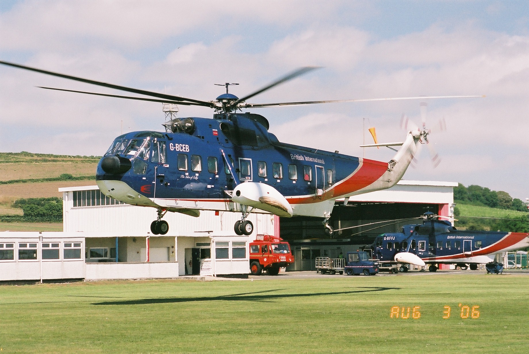
Penzance Heliport

Penzance Heliport (IATA: PZE, ICAO: EGHK) is located 0.6 NM (1.1 km; 0.69 mi) northeast of Penzance, Cornwall. The heliport hosts scheduled flights to...

Chyandour

Chyandour (Cornish: Chi an Dowr, meaning "house of the water") is a small settlement within the town of Penzance in west Cornwall, United Kingdom. It is...

Have you been to Ryeman?

Leave your review of Ryeman below (or comments, questions and feedback).