Eilean an Fheòir
Island in Argyllshire
Scotland
Eilean an Fheòir

The requested URL returned error: 429 Too Many Requests
If you have any feedback on the listing, please let us know in the comments section below.
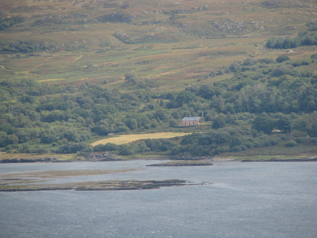
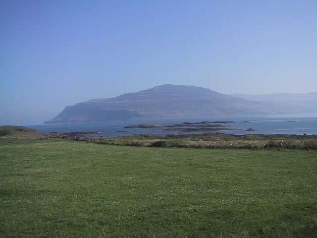
Eilean an Fheòir Images
Images are sourced within 2km of 56.360443/-6.0657784 or Grid Reference NM4826. Thanks to Geograph Open Source API. All images are credited.


Eilean an Fheòir is located at Grid Ref: NM4826 (Lat: 56.360443, Lng: -6.0657784)
Unitary Authority: Argyll and Bute
Police Authority: Argyll and West Dunbartonshire
What 3 Words
///credit.neckline.riverbed. Near Lochbuie, Argyll & Bute
Nearby Locations
Related Wikis
Loch Scridain
Loch Scridain is a 15-kilometre-long (9-mile) sea loch, with a west-south west aspect, on the western, or Atlantic coastline of the Isle of Mull, in the...

Tiroran
Tiroran is hamlet on the Isle of Mull in Argyll and Bute, Scotland. == History == In the late 18th century Tiroran House was associated with the McKinnon...

Pennyghael
Pennyghael (Scottish Gaelic: Peighinn nan Gàidheal) is a small village in the Ross of Mull, Argyll and Bute, Scotland. It is located along the A849 road...

Aird of Kinloch
Aird of Kinloch (Gaelic:An Àird) is a rocky outcrop between Loch Scridain and Loch Beg on the Isle of Mull, Argyll and Bute, Scotland. == References ==
Have you been to Eilean an Fheòir?
Leave your review of Eilean an Fheòir below (or comments, questions and feedback).