Skilly
Island in Cornwall
England
Skilly

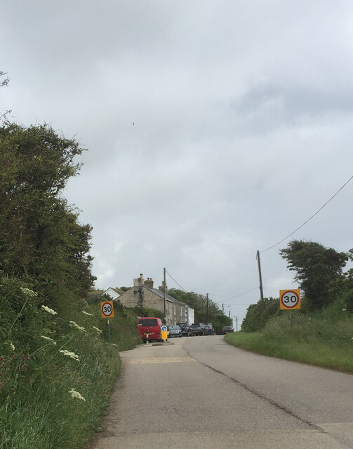
Skilly is a small island located off the coast of Cornwall in the United Kingdom. It is known for its rugged coastline, pristine beaches, and stunning natural beauty. The island is only accessible by boat and is a popular destination for tourists looking to escape the hustle and bustle of mainland Cornwall.
Skilly is home to a small population of residents who rely on fishing and tourism for their livelihood. The island has a quaint village with charming cottages, a few shops, and a cozy pub where visitors can enjoy a traditional Cornish meal.
The island is surrounded by crystal-clear waters, making it a popular spot for swimming, snorkeling, and fishing. Visitors can also explore the island's lush forests and rolling hills on foot or by bike, taking in the breathtaking views of the surrounding sea and coastline.
Overall, Skilly is a peaceful and picturesque destination that offers a true escape from the stresses of everyday life. Whether you're looking to relax on the beach, explore the island's natural beauty, or simply enjoy a quiet pint in the local pub, Skilly has something for everyone.
If you have any feedback on the listing, please let us know in the comments section below.
Skilly Images
Images are sourced within 2km of 50.094262/-5.5383785 or Grid Reference SW4727. Thanks to Geograph Open Source API. All images are credited.


Skilly is located at Grid Ref: SW4727 (Lat: 50.094262, Lng: -5.5383785)
Unitary Authority: Cornwall
Police Authority: Devon and Cornwall
What 3 Words
///amplified.bulge.skewed. Near Penzance, Cornwall
Related Wikis
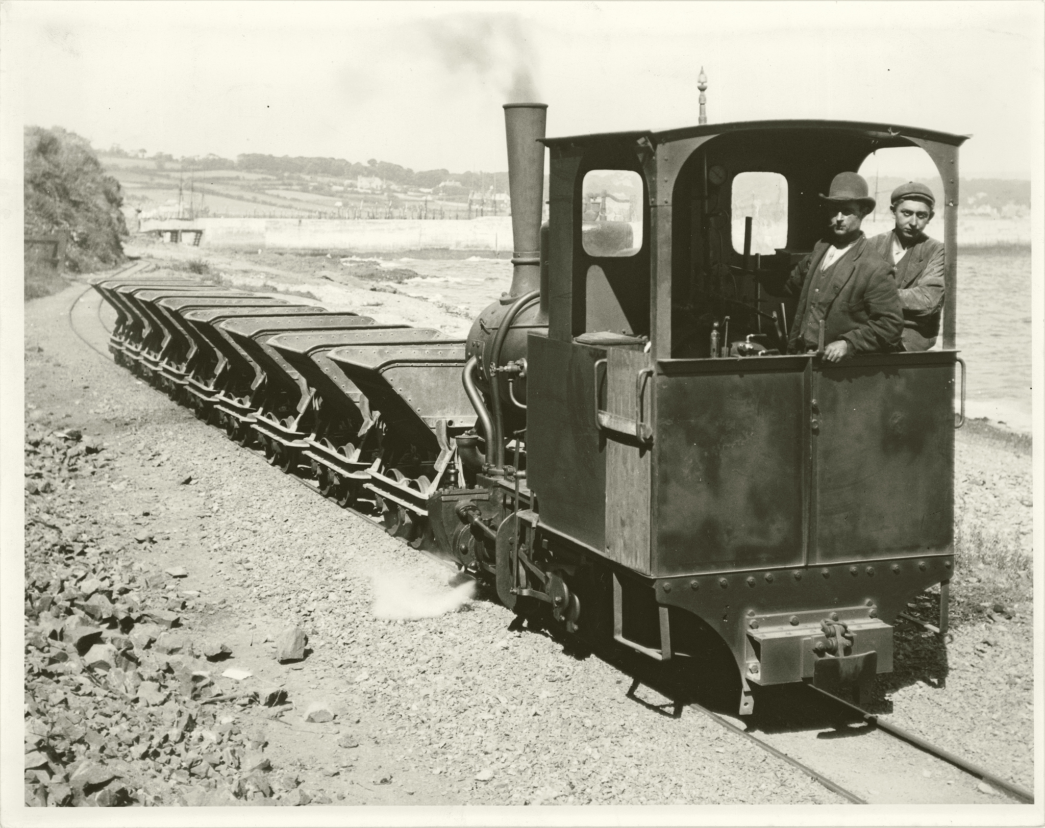
Penlee Quarry railway
The Penlee Quarry railway was a 2 ft (610 mm) narrow-gauge industrial railway serving the Penlee Quarry at Newlyn in Cornwall, England, UK. It was Cornwall...

St Pol de Léon's Church, Paul
St Pol de Léon's Church, also known as Paul Parish Church, is a parish church in the Church of England Diocese of Truro, located in Paul, Cornwall, England...
Paul, Cornwall
Paul (Cornish: Breweni) is a village in Cornwall, England, United Kingdom. It is in the civil parish of Penzance. The village is two miles (3 km) south...
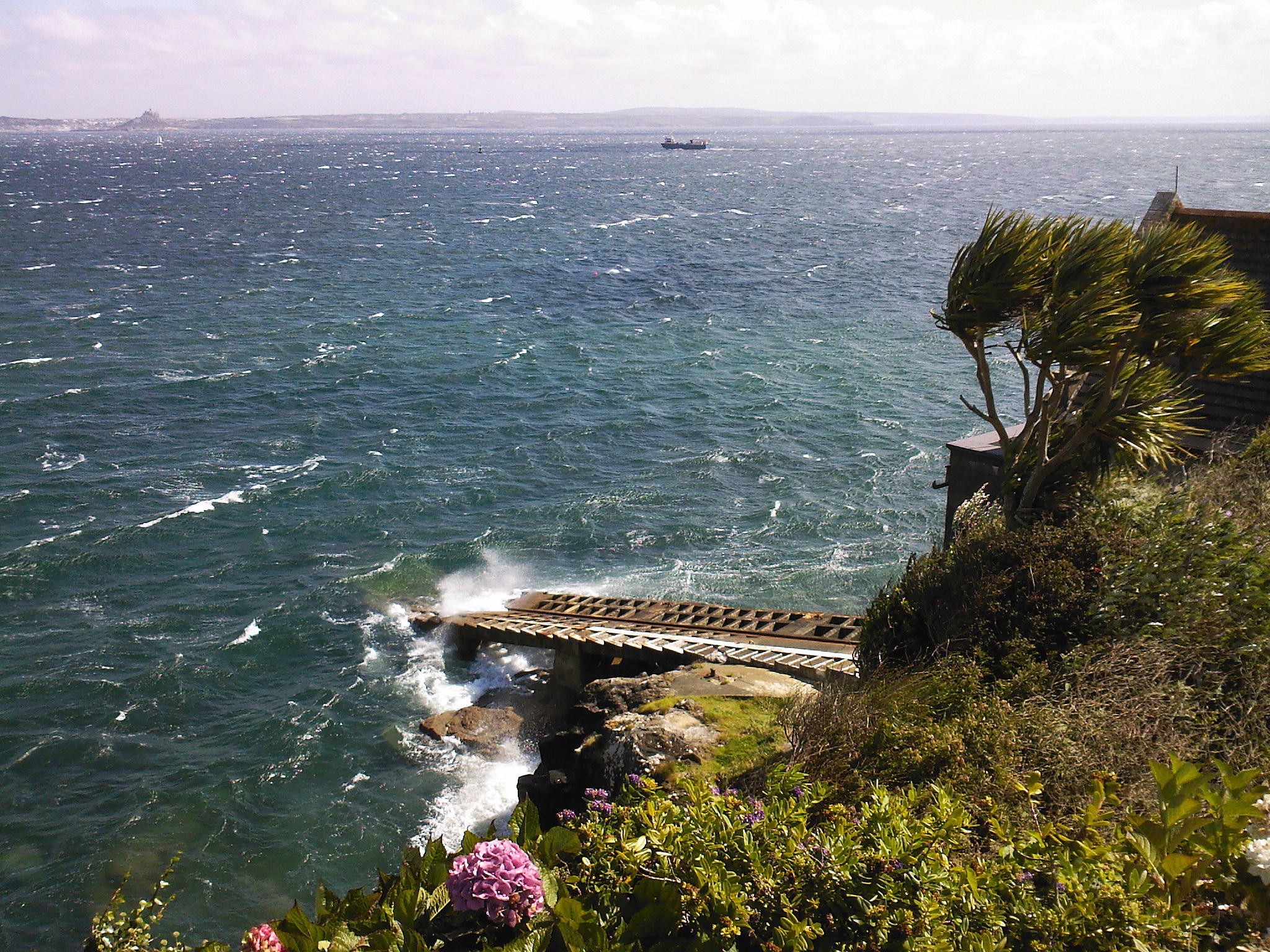
Penlee Point, Mousehole
Penlee Point (Cornish: Penn Legh, meaning ‘stone-slab headland’) is a promontory near the coastal fishing village of Mousehole in west Cornwall, England...
Nearby Amenities
Located within 500m of 50.094262,-5.5383785Have you been to Skilly?
Leave your review of Skilly below (or comments, questions and feedback).