Eilean a' Chaolais
Island in Argyllshire
Scotland
Eilean a' Chaolais

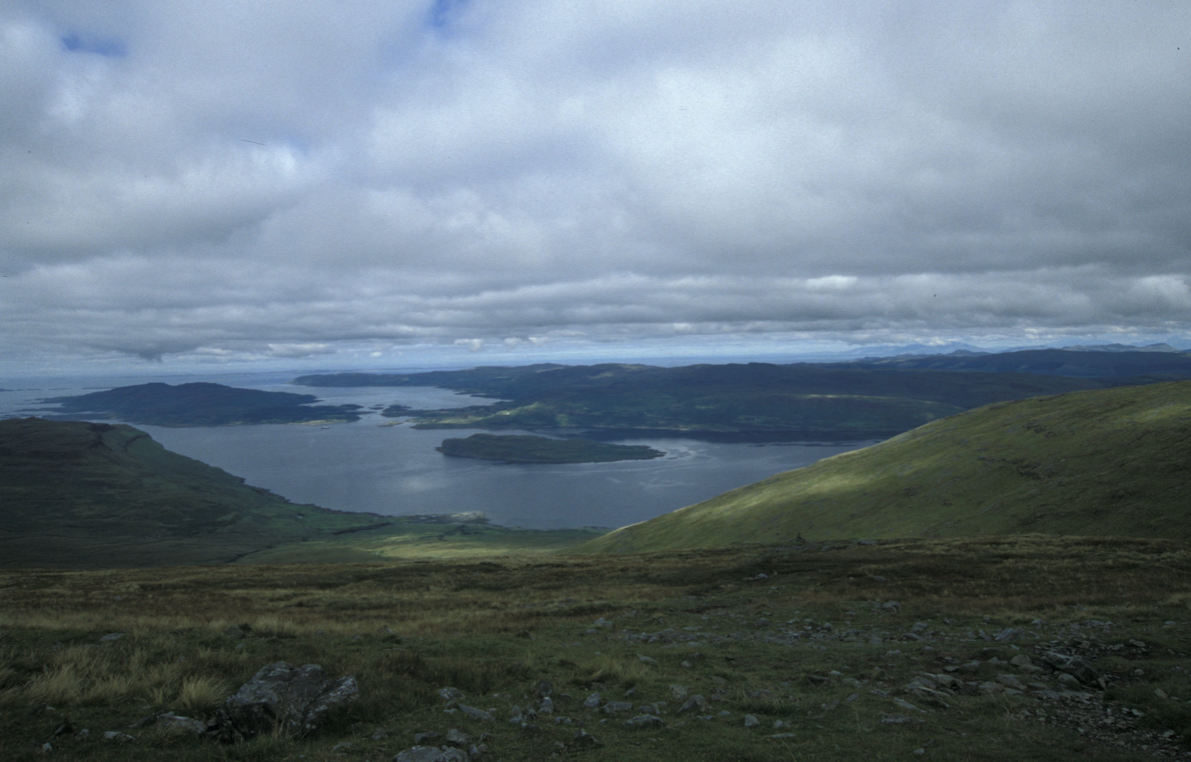
Eilean a' Chaolais is a small island located off the coast of Argyllshire, in the western part of Scotland. The island is part of the Inner Hebrides archipelago and lies in the Sound of Islay, near the larger island of Islay.
With an area of approximately 0.4 square kilometers, Eilean a' Chaolais is relatively small, and its landscape is characterized by rugged cliffs, rocky shores, and rolling hills. The island is uninhabited and has no permanent structures or amenities. It is primarily known for its untouched natural beauty and is a popular destination for tourists and nature enthusiasts.
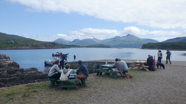
The island boasts a diverse range of flora and fauna, including various species of seabirds, seals, and otters. Its remote location and lack of human interference have contributed to the preservation of its ecosystem. Visitors can enjoy birdwatching, hiking, and exploring the island's rocky coastline.
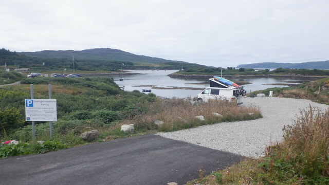
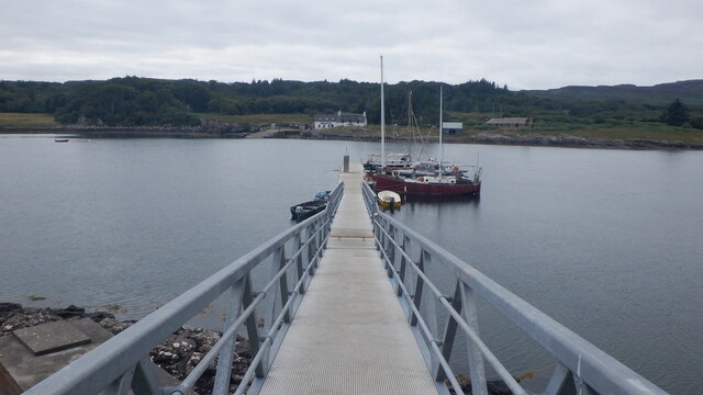
Access to Eilean a' Chaolais is primarily by boat, with several local tour operators offering trips to the island. There are no accommodation or dining options on the island itself, so visitors typically stay in nearby towns or on the neighboring island of Islay.
Overall, Eilean a' Chaolais is a picturesque and unspoiled island, offering a tranquil retreat for those seeking to immerse themselves in nature and experience the rugged beauty of the Scottish coastline.
If you have any feedback on the listing, please let us know in the comments section below.
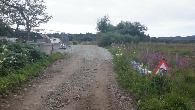
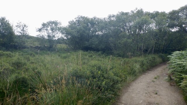
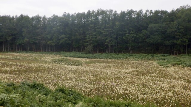
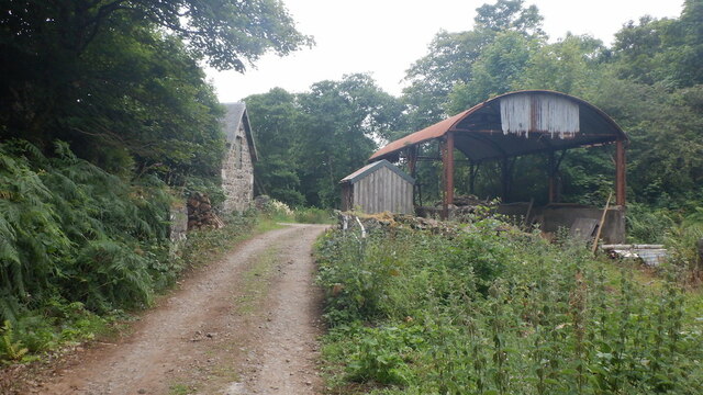
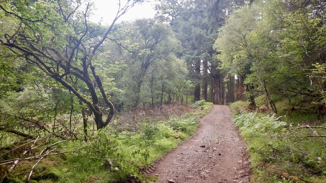
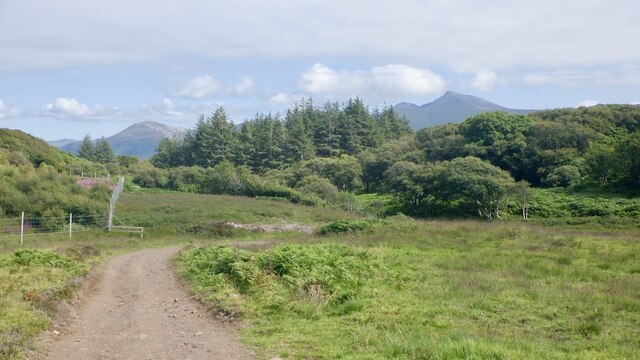
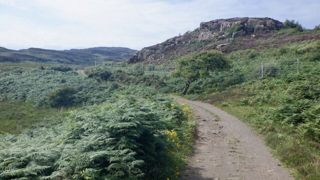
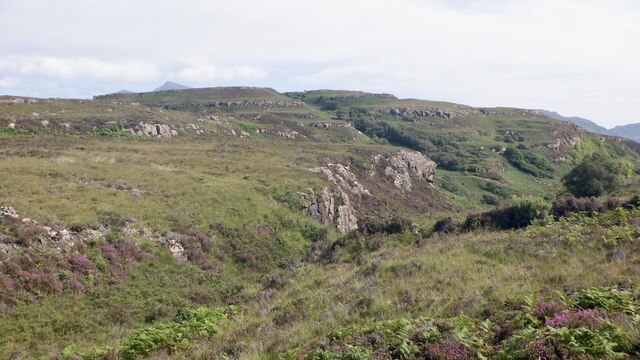
Eilean a' Chaolais Images
Images are sourced within 2km of 56.485166/-6.1552617 or Grid Reference NM4440. Thanks to Geograph Open Source API. All images are credited.


Eilean a' Chaolais is located at Grid Ref: NM4440 (Lat: 56.485166, Lng: -6.1552617)
Unitary Authority: Argyll and Bute
Police Authority: Argyll and West Dunbartonshire
What 3 Words
///stowing.hikes.elaborate. Near Dervaig, Argyll & Bute
Related Wikis

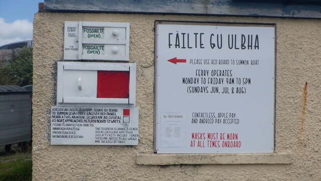
Ulva Ferry
Ulva Ferry (Scottish Gaelic: Caolas Ulbha) is a hamlet on the Hebridean island of Mull, on its west coast. Ulva Ferry is on the shore of Ulva Sound (Caolas...

Ulva
Ulva (; Scottish Gaelic: Ulbha) is a small island in the Inner Hebrides of Scotland, off the west coast of Mull. It is separated from Mull by a narrow...

Loch Tuath
Loch Tuath (Scottish Gaelic: Loch-a-Tuath) is a sea loch in the Inner Hebrides, Scotland that separates the Isle of Mull and the island of Ulva. Loch Tuath...

Samalan Island
Samalan Island is a small island, just off the Isle of Mull at the mouth of Loch na Keal in the Inner Hebrides, Scotland. To its south west is the island...

Eorsa
Eorsa is an uninhabited island in the Inner Hebrides of Scotland. == Geography == Eorsa lies in Loch na Keal on the west coast of the Isle of Mull, to...

Inch Kenneth
Inch Kenneth (Scottish Gaelic: Innis Choinnich) is a small grassy island off the west coast of the Isle of Mull, in Scotland. It is at the entrance of...
Loch na Keal
Loch na Keal (Scottish Gaelic: Loch na Caol), meaning Loch of the Kyle, or Narrows, also Loch of the Cliffs, is the principal sea loch on the western,...

St Kenneth's Chapel
St. Kenneth's Chapel is a ruined chapel on Inch Kenneth Island, Parish of Kilfinichen and Kilvickeon, Isle of Mull, Argyll and Bute, Scotland. It dates...
Nearby Amenities
Located within 500m of 56.485166,-6.1552617Have you been to Eilean a' Chaolais?
Leave your review of Eilean a' Chaolais below (or comments, questions and feedback).