Eilean Fraoich
Island in Argyllshire
Scotland
Eilean Fraoich
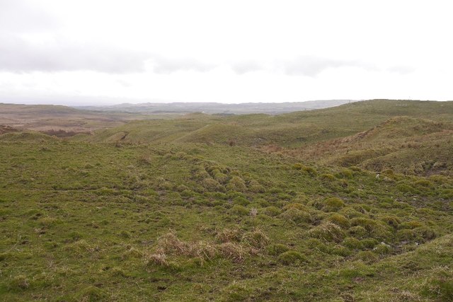
Eilean Fraoich is a small island located off the western coast of Scotland in the region of Argyllshire. The island is situated in the Inner Hebrides, surrounded by the picturesque waters of Loch Sween. It covers an area of approximately 50 acres and boasts a diverse landscape consisting of rugged cliffs, rolling hills, and beautiful sandy beaches.
The island is renowned for its stunning natural beauty and is a haven for wildlife enthusiasts. It is home to a variety of bird species, including puffins, guillemots, and razorbills, making it a popular destination for birdwatchers. The surrounding waters are also teeming with marine life, providing opportunities for fishing and marine exploration.
Eilean Fraoich has a rich history dating back centuries. The island was once inhabited and evidence of ancient settlements can still be found, including ruins of stone structures and burial sites. The island's name translates to "heather island" in Gaelic, reflecting the abundant heather that covers its landscape.
Today, Eilean Fraoich remains uninhabited and offers a tranquil retreat for those seeking solitude and natural beauty. Visitors can explore the island's rugged terrain by foot, enjoying panoramic views of the surrounding loch and distant mountains. The island is accessible by boat, and camping is permitted for those wishing to spend a night under the stars.
Overall, Eilean Fraoich is a hidden gem in Argyllshire, offering a unique blend of stunning scenery, rich history, and a peaceful atmosphere for nature enthusiasts and adventure seekers alike.
If you have any feedback on the listing, please let us know in the comments section below.
Eilean Fraoich Images
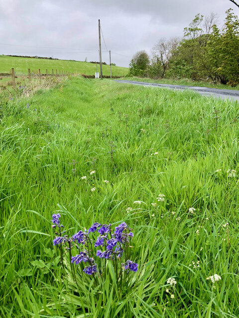
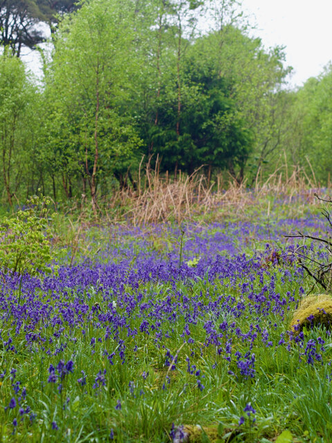
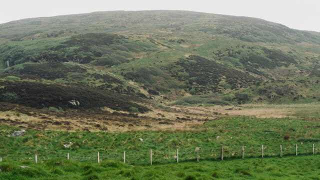
Images are sourced within 2km of 55.809018/-6.1377691 or Grid Reference NR4065. Thanks to Geograph Open Source API. All images are credited.
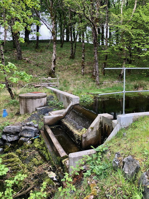
![Site of 18th-century illicit distillery Not quite sure exactly which building but recorded on Canmore.org.uk. Islay, Ballygrant | Canmore. Available online at: <span class="nowrap"><a title="https://canmore.org.uk/site/79738/islay-ballygrant" rel="nofollow ugc noopener" href="https://canmore.org.uk/site/79738/islay-ballygrant">Link</a><img style="margin-left:2px;" alt="External link" title="External link - shift click to open in new window" src="https://s1.geograph.org.uk/img/external.png" width="10" height="10"/></span> [Accessed 29 May 2022].](https://s1.geograph.org.uk/geophotos/07/18/55/7185505_6f6f6b11.jpg)


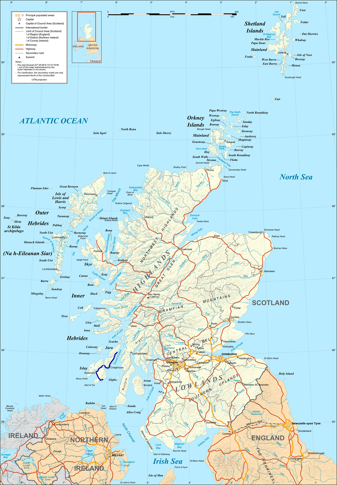
Eilean Fraoich is located at Grid Ref: NR4065 (Lat: 55.809018, Lng: -6.1377691)
Unitary Authority: Argyll and Bute
Police Authority: Argyll and West Dunbartonshire
What 3 Words
///swooning.conducted.pest. Near Ballygrant, Argyll & Bute
Nearby Locations
Related Wikis

Ballygrant
Ballygrant (Scottish Gaelic: Baile a' Ghràna) is a small village on the Inner Hebrides island of Islay of the western coast of Scotland. The village is...

Dun Guaidhre
Dun Guaidhre, also known as Dùn Ghùaidhre, is an Iron Age fort southwest of Kilmeny, Islay, Scotland. It is protected as a scheduled monument.Local tradition...

Finlaggan
Finlaggan (NR 388 680, Scottish Gaelic: Port an Eilein) is a historic site on Eilean Mòr in Loch Finlaggan. The Loch, the island, and Finlaggan Castle...

Dun Bhruichlinn
Dun Bhruichlinn is an Iron Age fort south of Esknish, Islay, Scotland. The fort, or dun is circular with an internal diameter of 16 metres and the walls...
Islay
Islay ( EYE-lə; Scottish Gaelic: Ìle, Scots: Ila) is the southernmost island of the Inner Hebrides of Scotland. Known as "The Queen of the Hebrides",...

Dunlossit House
Dunlossit House is a Category C listed country house near Port Askaig, Islay in the county of Argyll, in western Scotland.. == History and architecture... ==

Port Askaig
Port Askaig (Scottish Gaelic: Port Asgaig) is a port village on the east coast of the island of Islay, in Scotland. The village lies on the Sound of Islay...
A846 road
The A846 road is one of the two principal roads of Islay in the Inner Hebrides off the west coast of mainland Scotland and the only 'A' road on the neighbouring...
Nearby Amenities
Located within 500m of 55.809018,-6.1377691Have you been to Eilean Fraoich?
Leave your review of Eilean Fraoich below (or comments, questions and feedback).