Eilean nan Each

Island in Argyllshire

Scotland

Eilean nan Each

The track to Langamull The track that leads down to Langamull and the beach at Port Langamull
The track to Langamull Credit: Peter Evans

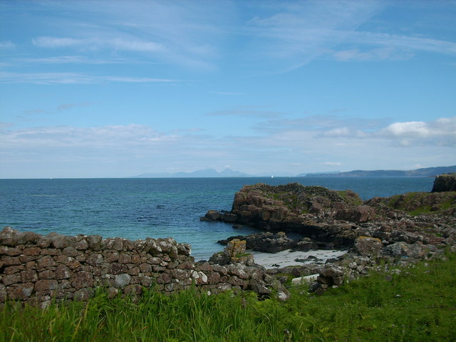
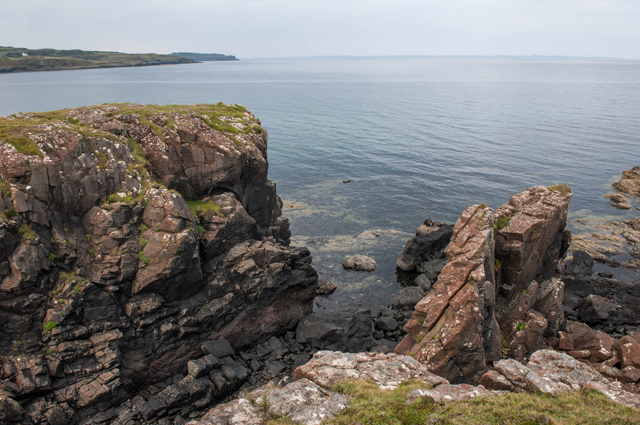
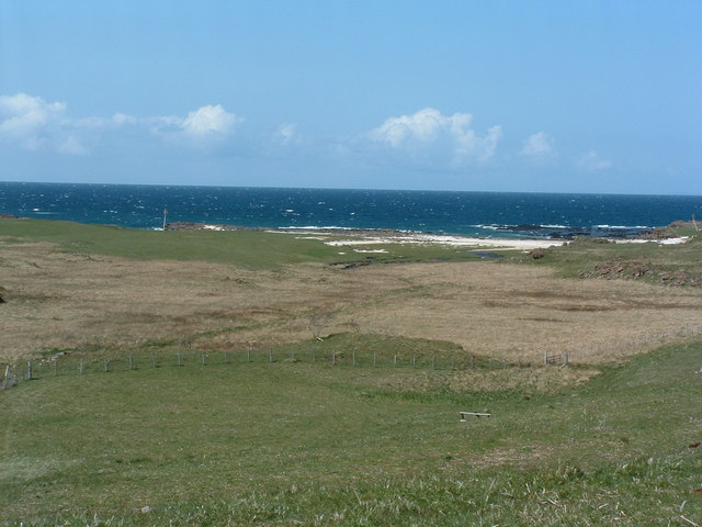
Eilean nan Each is a small island located off the west coast of Scotland in Argyllshire. Also known as the Island of Horses, it is situated in the Firth of Lorn, near the larger island of Seil. The island covers an area of approximately 5 acres and has a rugged and rocky terrain.

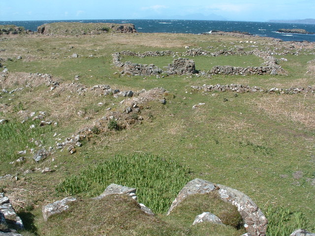
Despite its small size, Eilean nan Each has a rich history and is home to several ruins and ancient remains. The most prominent feature on the island is the remains of a medieval chapel, thought to date back to the 12th century. The chapel is a testament to the island's religious significance in the past.

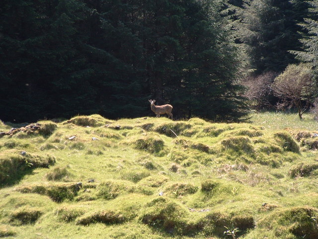
The island's name, which translates to "Island of Horses" in English, suggests that horses may have once grazed here. However, there is no evidence of horses on the island today. Instead, Eilean nan Each is known for its diverse wildlife, including seabirds, seals, and otters. The surrounding waters are also popular for fishing and diving.

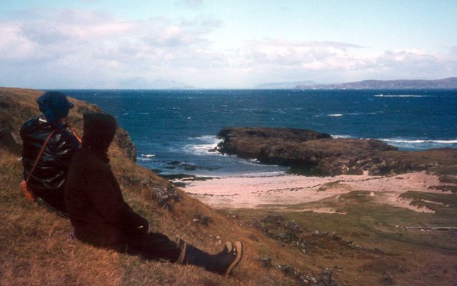
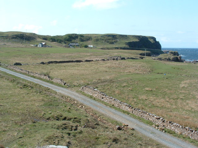
Access to Eilean nan Each is limited, as there are no regular ferry services to the island. However, it can be reached by private boat or chartered tours from the nearby mainland. Visitors to the island can explore the ruins, enjoy the stunning coastal scenery, and experience the tranquility of this secluded spot.

Overall, Eilean nan Each offers a glimpse into Scotland's past and provides a peaceful retreat for those seeking nature and history in the Argyllshire region.

If you have any feedback on the listing, please let us know in the comments section below.

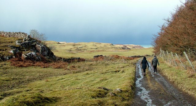
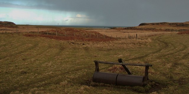
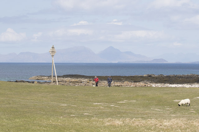
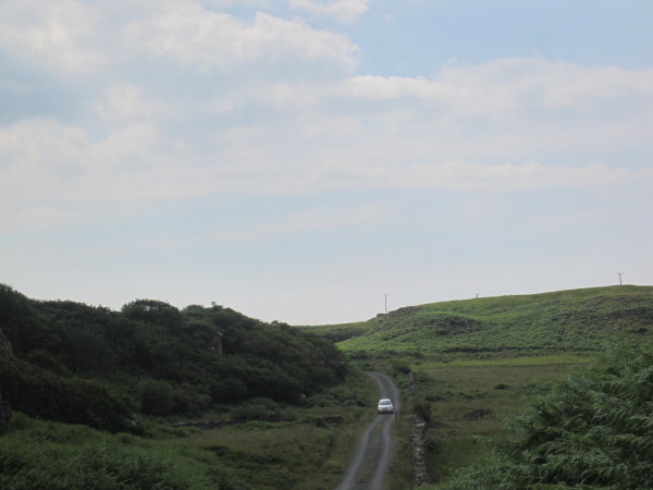
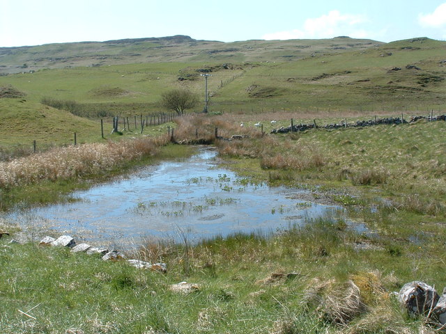
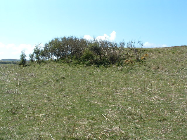
Eilean nan Each Images

Images are sourced within 2km of 56.605912/-6.2323893 or Grid Reference NM4054. Thanks to Geograph Open Source API. All images are credited.

The track to Langamull The track that leads down to Langamull and the beach at Port Langamull
The track to Langamull
The track that leads down to Langamull and the beach at Port Langamull
Path to Langamull beach An abandoned flat-roll alongside the path to Langamull beach, North-West Mull, with a sleet/snow storm blowing in off the sea.
Path to Langamull beach
An abandoned flat-roll alongside the path to Langamull beach, North-West Mull, with a sleet/snow storm blowing in off the sea.
Above Croig Beach We are just above Croig beach - a sandy beach with rocky outcrops.
Above Croig Beach
We are just above Croig beach - a sandy beach with rocky outcrops.
Road towards B&B
Road towards B&B
Overlooking Beach near Croig, Mull Looking over lovely scheduled beach near Croig, Mull.  Rum in the far distance
Overlooking Beach near Croig, Mull
Looking over lovely scheduled beach near Croig, Mull. Rum in the far distance
Port na Bà, the port of the cattle Rum, Eigg and Ardnamurchan point in the distance
Port na Bà, the port of the cattle
Rum, Eigg and Ardnamurchan point in the distance
Rubha na h-Àirde The view is north to the Small Isles
Rubha na h-Àirde
The view is north to the Small Isles
Rubha na h-Àirde
Rubha na h-Àirde
Sea Cliffs at Rubha an h-Airde
House at Aird A quite new development which looks like a holiday let at Aird on the track to Rubha an h-Airde
House at Aird
A quite new development which looks like a holiday let at Aird on the track to Rubha an h-Airde
Dun Mhadaidh Not much evidence of any sort of habitation but the hill itself.
Dun Mhadaidh
Not much evidence of any sort of habitation but the hill itself.
Kildavie Remains of settlement now surrounded by forestry. I'd wandered around for a bit then found a bit of higher ground to take the picture from, only then did I realise I wasn't alone.
Kildavie
Remains of settlement now surrounded by forestry. I'd wandered around for a bit then found a bit of higher ground to take the picture from, only then did I realise I wasn't alone.
My deer friend After a minute or so, long enough to get this shot, it turned and wandered off through the trees.
My deer friend
After a minute or so, long enough to get this shot, it turned and wandered off through the trees.
Poor drainage Langamull farm
Bay at Crossapol The poles at the mid left and extreme right are the sort of sign used to mark the landing point of submarine cables, power usually.
Bay at Crossapol
The poles at the mid left and extreme right are the sort of sign used to mark the landing point of submarine cables, power usually.
Houses by Sron Fhionn According to the sign on the gate back at Croig, one of these is a B&B.
Houses by Sron Fhionn
According to the sign on the gate back at Croig, one of these is a B&B.
Sheltering trees On the NW coast of Mull there are two types of tree, the well ordered forestry commission pines, and the plucky indigenous type. Here as some of them, just out of the wind, sheltered in the lee of a small hill.
Sheltering trees
On the NW coast of Mull there are two types of tree, the well ordered forestry commission pines, and the plucky indigenous type. Here as some of them, just out of the wind, sheltered in the lee of a small hill.
Dun Guaidhre Remains of the fort NW of Croig.
Dun Guaidhre
Remains of the fort NW of Croig.
Show me another place!

Eilean nan Each is located at Grid Ref: NM4054 (Lat: 56.605912, Lng: -6.2323893)

Unitary Authority: Argyll and Bute

Police Authority: Argyll and West Dunbartonshire

What 3 Words

///stores.badge.irony. Near Calgary, Argyll & Bute

Related Wikis

Calgary, Mull

Calgary is a hamlet on the northwest coast of the Isle of Mull, in Argyll and Bute, Scotland, United Kingdom. The hamlet is within the parish of Kilninian...

Dervaig

Dervaig (Scottish Gaelic: Dearbhaig) is a small village on the Isle of Mull off the west coast of Scotland. The village is within the parish of Kilninian...

Calgary Castle

Calgary Castle, also known as Calgary House, is a 19th-century castellated Gothic mansion at Calgary on the Isle of Mull, Scotland. The mansion faces Calgary...

Eas Fors

Eas Fors is a waterfall on the island of Mull in Scotland. It is situated on the Ardow Burn south of Dervaig. There is another Eas Fors on the Allt an...

Nearby Amenities

Located within 500m of 56.605912,-6.2323893
Croig
Place: locality
Lat/Long: 56.60505/-6.2352002
Power: pole
Lat/Long: 56.607185/-6.2399908
Power: pole
Lat/Long: 56.6072167/-6.2384967
Power: pole
Lat/Long: 56.6065816/-6.2379774
Power: pole
Lat/Long: 56.6059101/-6.2374354
Power: pole
Lat/Long: 56.6051853/-6.2372437
Power: pole
Lat/Long: 56.6046692/-6.2371077
Power: pole
Lat/Long: 56.6039682/-6.2369202
Power: pole
Lat/Long: 56.6033817/-6.2374045
Power: pole
Lat/Long: 56.6027964/-6.2378599
Power: pole
Lat/Long: 56.6022281/-6.2309767
Power: pole
Lat/Long: 56.6014748/-6.2311622
Generator Method: photovoltaic
Generator Output Electricity: yes
Generator Source: solar
Generator Type: solar_photovoltaic_panel
Power: generator
Lat/Long: 56.6045193/-6.2354635
The data included in this document is from www.openstreetmap.org. The data is made available under ODbL.

Have you been to Eilean nan Each?

Leave your review of Eilean nan Each below (or comments, questions and feedback).