Aston, Little
Settlement in Staffordshire Lichfield
England
Aston, Little

Aston, Little is a charming village located in the county of Staffordshire, England. Situated approximately 4 miles southeast of Stafford, it is nestled amidst the picturesque countryside of the West Midlands. Aston, Little is part of the Staffordshire Moorlands district, known for its scenic landscapes and peaceful surroundings.
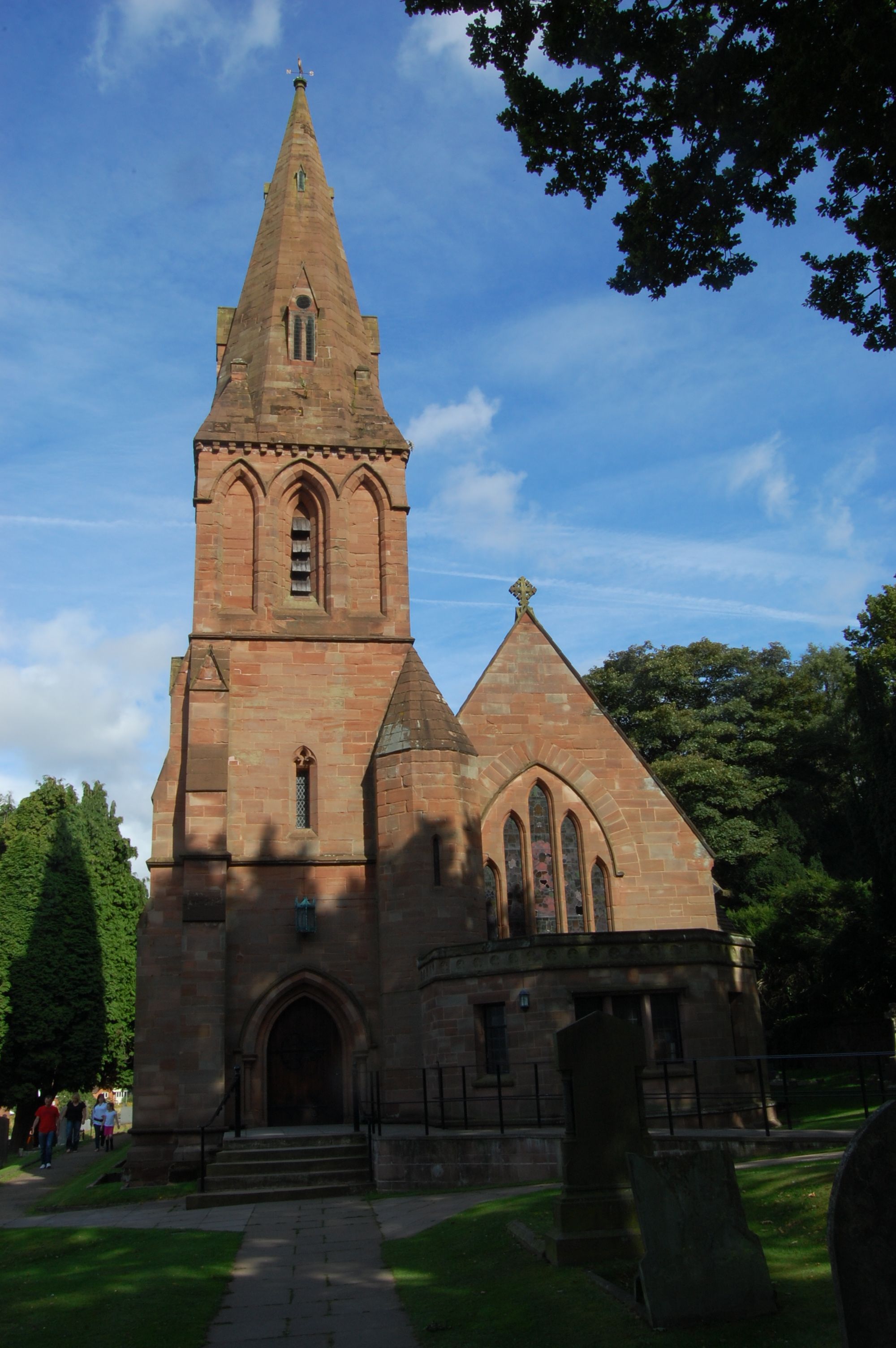
This idyllic village offers a tranquil escape from the hustle and bustle of city life. The village is characterized by its traditional English architecture, with many well-preserved cottages and buildings that date back several centuries. The village church, St. James' Church, is a prominent landmark, boasting a stunning medieval design that showcases the area's rich history.
The community in Aston, Little is close-knit and friendly, with a population of around 500 residents. The village has a strong sense of community spirit, hosting various events throughout the year that bring residents together. These events often include fairs, festivals, and fundraisers, providing opportunities for locals to socialize and support one another.
Surrounded by rolling hills and verdant fields, Aston, Little offers ample opportunities for outdoor activities. The village is located near Cannock Chase, an Area of Outstanding Natural Beauty, providing residents with beautiful walking and cycling routes. Additionally, the nearby Staffordshire countryside offers opportunities for hiking, horse riding, and exploring nature.
Despite its tranquil ambiance, Aston, Little benefits from its proximity to Stafford, which provides convenient access to a range of amenities and services. With its rich history, picturesque setting, and strong sense of community, Aston, Little is a delightful place to reside or visit for those seeking a peaceful retreat in the heart of Staffordshire.
If you have any feedback on the listing, please let us know in the comments section below.
Aston, Little Images
Images are sourced within 2km of 52.601741/-1.870772 or Grid Reference SK0800. Thanks to Geograph Open Source API. All images are credited.


Aston, Little is located at Grid Ref: SK0800 (Lat: 52.601741, Lng: -1.870772)
Administrative County: Staffordshire
District: Lichfield
Police Authority: Staffordshire
What 3 Words
///squad.sank.influencing. Near Streetly, West Midlands
Nearby Locations
Related Wikis
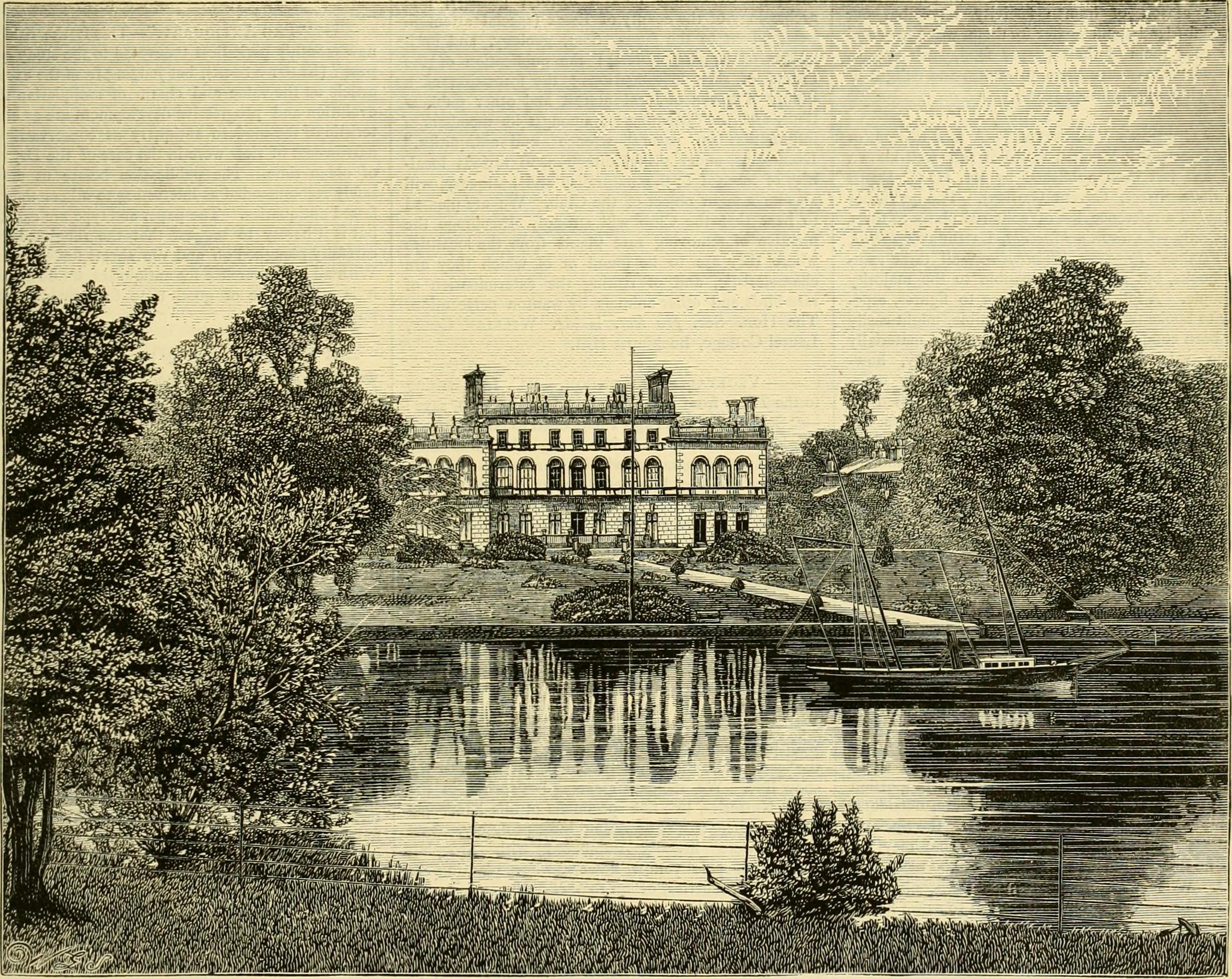
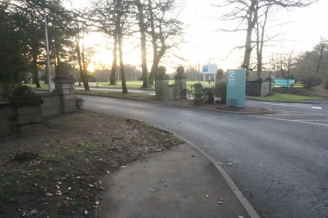
Little Aston Hall
Little Aston Hall is a Georgian country house in Little Aston, Staffordshire, England. The original hall building is Grade II listed. It was constructed...

Little Aston Golf Club
Little Aston Golf Club is an 18 hole members golf club located within the Little Aston Park Private Estate in Sutton Coldfield, England which has hosted...
Little Aston
Little Aston is a village in the Lichfield District of Staffordshire, England. It is 5 miles (8 km) south of the city of Lichfield. It is contiguous with...
Hill Hook
Hill Hook is an area of Sutton Coldfield, Birmingham, England. The area includes Hill Hook Local Nature Reserve, declared in 2003 with an area of 5.65...
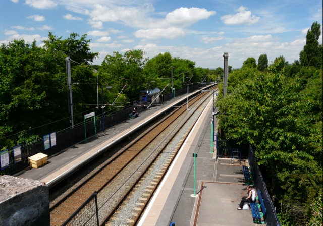
Streetly railway station
Streetly railway station is a disused station on the Midland Railway in England. It was opened in 1879 and closed in 1965, although the track through the...

Blake Street railway station
Blake Street railway station serves the Hill Hook area of Sutton Coldfield, Birmingham, England. It is situated on the Cross-City Line, located on the...
Butlers Lane railway station
Butlers Lane railway station serves the northern part of the Four Oaks district of Sutton Coldfield, England. It is situated on the Cross-City Line....
Sutton Coldfield transmitting station
The Sutton Coldfield transmitting station is a broadcasting and telecommunications facility located in Sutton Coldfield, Birmingham, England. In terms...
Related Videos


Woodlands Adventure and Outdoor Learning, walsall, england, uk
Woodlands Adventure and Outdoor Learning, walsall, england, uk Woodlands Adventure Address: Woodlands Camp, Bourne ...

Ian Poole's Transport Travel Vlogs #117 - Four Oaks
vlog #blog #CrossCityLine So this is a trip that had been put off for a long time for one reason or another but fianlly, we get the ...

A quick rant and making the right decisions in woodland photography
I get a little annoyed with other people walking around in the woodland landscape. They are not really doing anything wrong, but ...
Nearby Amenities
Located within 500m of 52.601741,-1.870772Have you been to Aston, Little?
Leave your review of Aston, Little below (or comments, questions and feedback).