Eilean a' Bhlàir

Island in Ross-shire

Scotland

Eilean a' Bhlàir

Crobeg from Meall na Mòine
Crobeg from Meall na Mòine Credit: Alan Reid

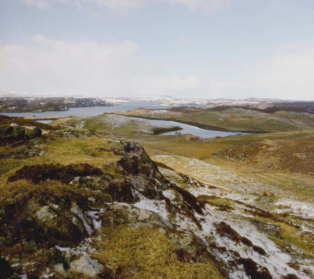
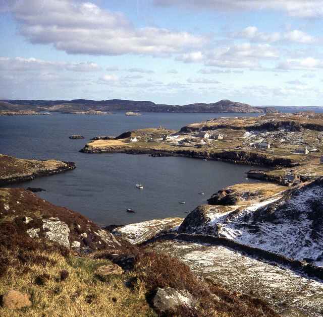
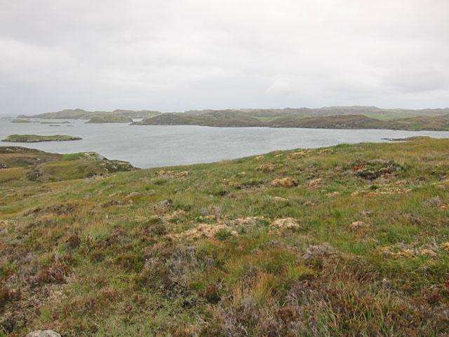
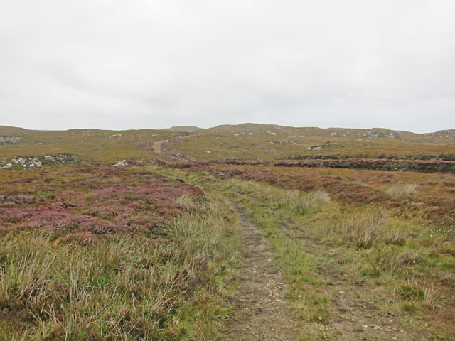
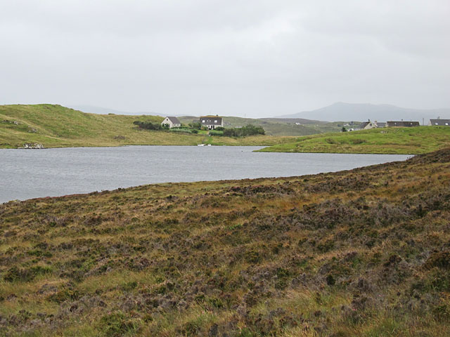
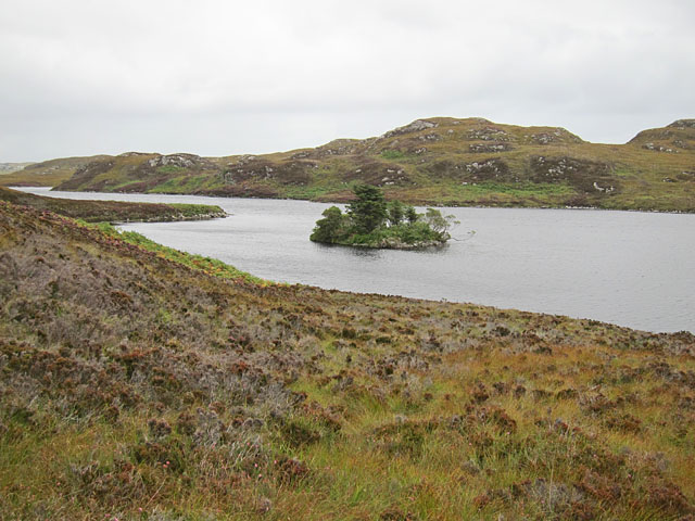
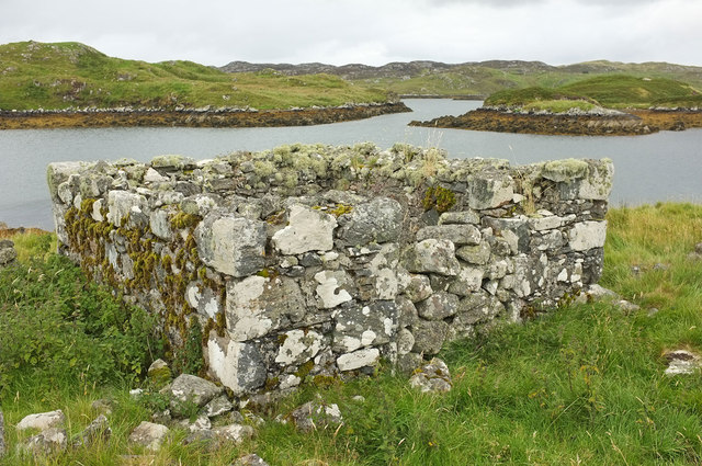
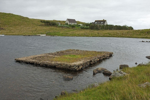
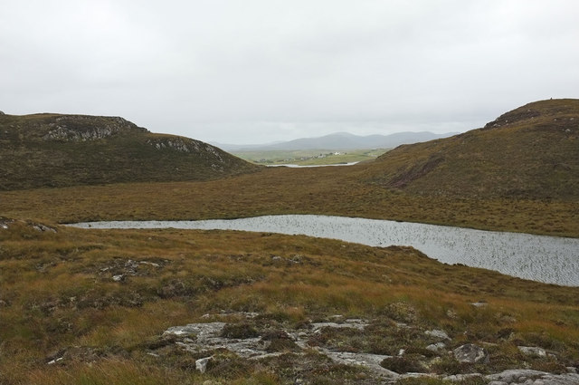
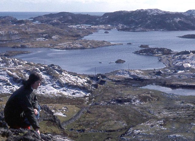
Eilean a' Bhlàir is a small island located off the coast of Ross-shire in Scotland. The island measures approximately 0.25 square kilometers in size and is uninhabited by permanent residents. The island is known for its rugged and rocky terrain, with steep cliffs and rocky outcrops scattered throughout.

Eilean a' Bhlàir is surrounded by the clear waters of the North Sea, making it a popular spot for birdwatching and wildlife observation. The island is home to a variety of seabirds, including puffins, guillemots, and razorbills, as well as seals and otters that can often be spotted along the shoreline.

Access to Eilean a' Bhlàir is limited, with no permanent structures or amenities on the island. Visitors can reach the island by boat or kayak, but must be aware of the challenging sea conditions and strong currents in the area.

Overall, Eilean a' Bhlàir offers a peaceful and remote escape for nature lovers and outdoor enthusiasts looking to explore the rugged beauty of the Scottish coastline.

If you have any feedback on the listing, please let us know in the comments section below.

Eilean a' Bhlàir Images

Images are sourced within 2km of 58.1088/-6.4499064 or Grid Reference NB3721. Thanks to Geograph Open Source API. All images are credited.

Crobeg from Meall na Mòine
Tòb Cromore
Tòb Cromore
Looking down Loch Thorasdaidh In the centre horizon is Roineval, another point which enjoys the quip, "If you can see it, it is going to rain.  If you can't see it, it's raining"
Looking down Loch Thorasdaidh
In the centre horizon is Roineval, another point which enjoys the quip, "If you can see it, it is going to rain. If you can't see it, it's raining"
Fish farm east of Cheòis We walked around Loch Cheòis, then headed south-east from the outflow to reach this viewpoint, but picked up a good track for the return leg. There was a good view across Loch Èireasort of Eilean Chaluim Chille (St Columba's Island)  which can be reached on foot from Cromor around low tide.
Fish farm east of Cheòis
We walked around Loch Cheòis, then headed south-east from the outflow to reach this viewpoint, but picked up a good track for the return leg. There was a good view across Loch Èireasort of Eilean Chaluim Chille (St Columba's Island) which can be reached on foot from Cromor around low tide.
East of Loch Cheòis Looking across the rough moorland towards Loch Èireasort with its many islands
East of Loch Cheòis
Looking across the rough moorland towards Loch Èireasort with its many islands
Moorland track east of Glìb Cheòis This track looks as if its main use is to provide access for peat cutting.
Moorland track east of Glìb Cheòis
This track looks as if its main use is to provide access for peat cutting.
Glìb Cheòis from the shore of Loch Cheòis Looking across the loch towards the last few houses at the end of the road in Glìb Cheòis.
Glìb Cheòis from the shore of Loch Cheòis
Looking across the loch towards the last few houses at the end of the road in Glìb Cheòis.
Island in Loch Cheòis A walk around the western shore of Loch Cheòis is an opportunity to watch for wildlife.
Island in Loch Cheòis
A walk around the western shore of Loch Cheòis is an opportunity to watch for wildlife.
Loch Èireasort A view across Loch Èireasort and a fish farm from the track at Glìb Cheòis.
Loch Èireasort
A view across Loch Èireasort and a fish farm from the track at Glìb Cheòis.
Above Loch Cheòis Looking along Loch Cheòis from just above the shore. This spot looks to hold the ruins of an abandoned building.
Above Loch Cheòis
Looking along Loch Cheòis from just above the shore. This spot looks to hold the ruins of an abandoned building.
Ruin near Eaglais Chaluim Chille This small rectangular structure is a few metres to the south of the ruined chapel. The doorway has been blocked with stone to make a small enclosure.
Ruin near Eaglais Chaluim Chille
This small rectangular structure is a few metres to the south of the ruined chapel. The doorway has been blocked with stone to make a small enclosure.
North east side of Eilean Chaluim Chille Looking along the steep edge of the island to the attached islet of Crois Eilean.
North east side of Eilean Chaluim Chille
Looking along the steep edge of the island to the attached islet of Crois Eilean.
Platform in Loch Cheois This small concrete platform is at the southern end of Loch Cheois. There is nothing to indicate its function. (There is a slight possibility that it is associated with the WWII "chariot" training facility at Tavay.)
Platform in Loch Cheois
This small concrete platform is at the southern end of Loch Cheois. There is nothing to indicate its function. (There is a slight possibility that it is associated with the WWII "chariot" training facility at Tavay.)
Moorland and lochan The houses at Glib Cheois can just be seen in the distance.
Moorland and lochan
The houses at Glib Cheois can just be seen in the distance.
Eilean Chalaibrigh Eilean Chalaibrigh is the islet to the right of the picture.
Eilean Chalaibrigh
Eilean Chalaibrigh is the islet to the right of the picture.
Lochs on Eilean Chaluim Chille Two freshwater lochs on St Columba's Island, with the seawater Loch Èireasort beyond.
Lochs on Eilean Chaluim Chille
Two freshwater lochs on St Columba's Island, with the seawater Loch Èireasort beyond.
On Meall a' Chaisteal above Cromore
Evening on Loch Cheois Evening view of Loch Cheois
Evening on Loch Cheois
Evening view of Loch Cheois
Show me another place!

Eilean a' Bhlàir is located at Grid Ref: NB3721 (Lat: 58.1088, Lng: -6.4499064)

Unitary Authority: Na h-Eileanan an Iar

Police Authority: Highlands and Islands

What 3 Words

///calm.skim.patrol. Near Leurbost, Na h-Eileanan Siar

Related Wikis

Eilean Chaluim Chille

Eilean Chaluim Chille (Gaelic: island of Saint Columba, Calum Cille) is an unpopulated island in the Outer Hebrides. It lies off the east coast of Lewis...

Cromore

Cromore (Scottish Gaelic: Crò Mòr) is a crofting township on the Isle of Lewis in the district of Pairc, in the Outer Hebrides, Scotland. The settlement...

Cabharstadh

Cabharstadh or Caversta (Scottish Gaelic: Cabharstaigh) is a village on the Isle of Lewis in the Outer Hebrides, Scotland. Caversta is situated in the...

Crossbost

Crossbost is a village on the Isle of Lewis in the parish of North Lochs, in the Outer Hebrides, Scotland. It is located approximately ten miles away...

Nearby Amenities

Located within 500m of 58.1088,-6.4499064
Created By: dmgroom_coastlines
Lat/Long: 58.10637/-6.45586
The data included in this document is from www.openstreetmap.org. The data is made available under ODbL.

Have you been to Eilean a' Bhlàir?

Leave your review of Eilean a' Bhlàir below (or comments, questions and feedback).