Sgeir Ghlas
Island in Ross-shire
Scotland
Sgeir Ghlas
The requested URL returned error: 429 Too Many Requests
If you have any feedback on the listing, please let us know in the comments section below.
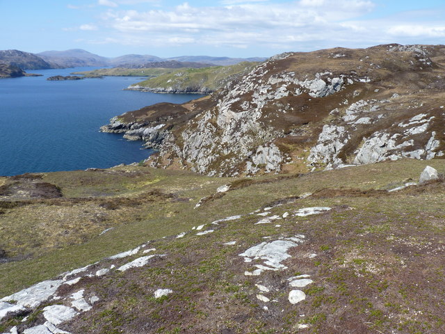
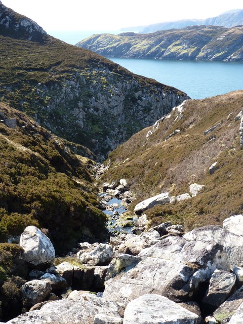
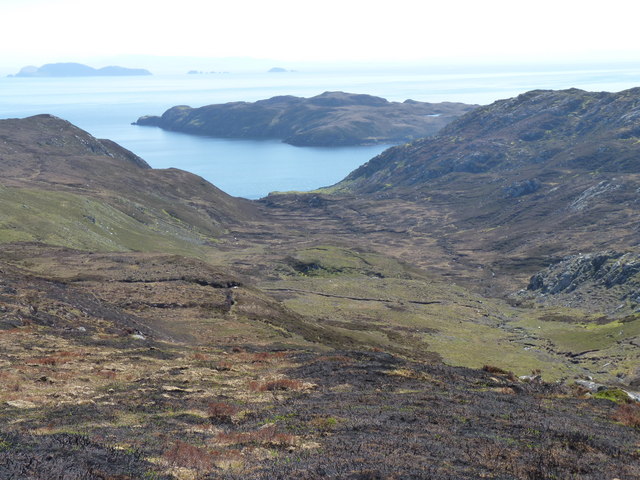
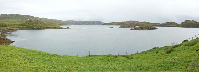
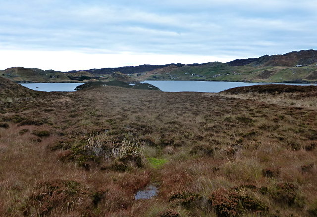
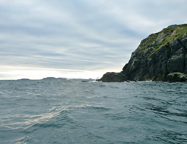
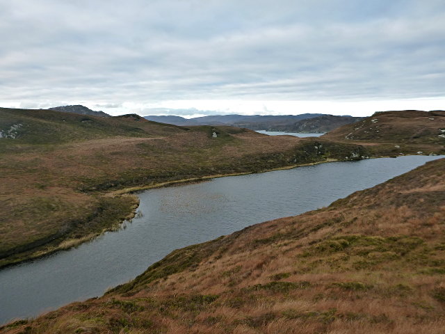
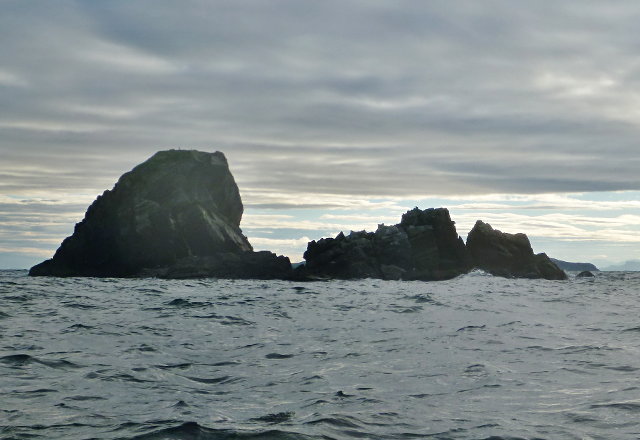
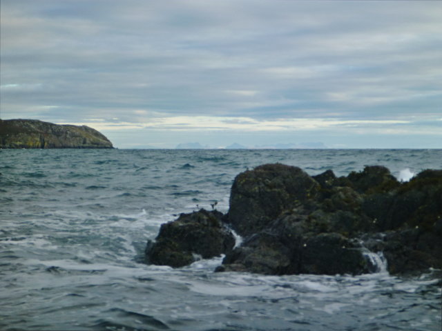
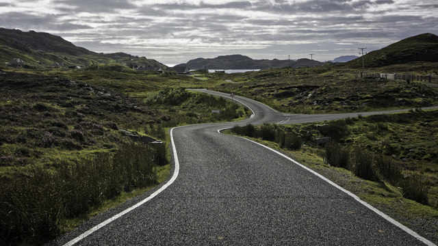
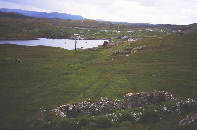
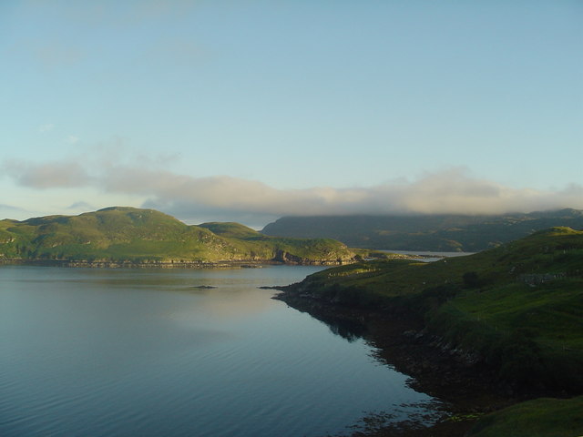
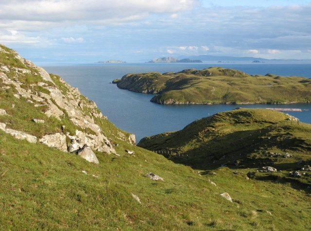
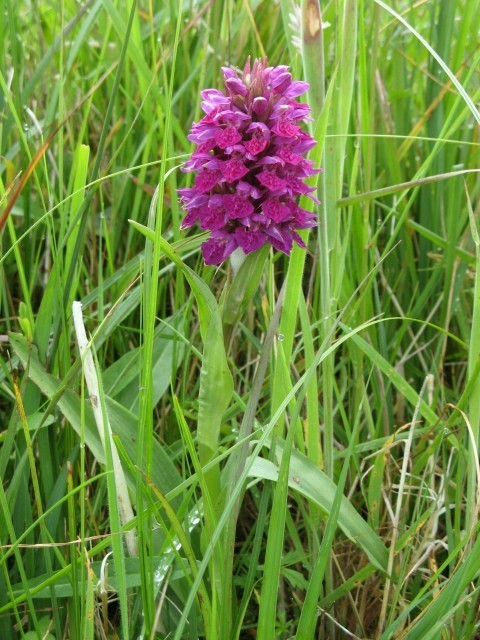
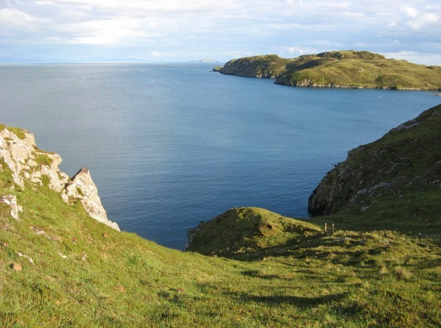
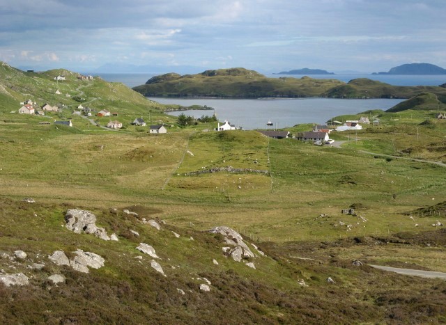
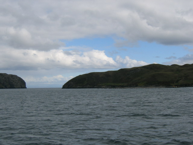
Sgeir Ghlas Images
Images are sourced within 2km of 58.007636/-6.4399628 or Grid Reference NB3710. Thanks to Geograph Open Source API. All images are credited.

Sgeir Ghlas is located at Grid Ref: NB3710 (Lat: 58.007636, Lng: -6.4399628)
Unitary Authority: Na h-Eileanan an Iar
Police Authority: Highlands and Islands
What 3 Words
///devoured.ashes.typist. Near Leurbost, Na h-Eileanan Siar
Related Wikis

Eilean Liubhaird
Eilean Liubhaird or Eilean Iubhard is an island in the Outer Hebrides, to the east of Lewis. == Geography and geology == The rock is "gneiss bedrock with...

Orinsay
Orinsay (Scottish Gaelic: Orasaigh) is a crofting village on the Isle of Lewis in the district of Pairc, in the Outer Hebrides, Scotland. The settlement...

Stiomrabhaig
Stiomrabhaig is an abandoned crofter's village on the Isle of Lewis in the Outer Hebrides. == History == The United Kingdom Census 1851 shows that the...

Gravir
Gravir (Scottish Gaelic: Grabhair), is a village on the shore of Loch Odhairn (a sea loch) in the Park district of the Isle of Lewis. Gravir is within...
Nearby Amenities
Located within 500m of 58.007636,-6.4399628Have you been to Sgeir Ghlas?
Leave your review of Sgeir Ghlas below (or comments, questions and feedback).