Little Ann

Settlement in Hampshire Test Valley

England

Little Ann

Longstock Road, Upper Clatford Towards Andover.
Longstock Road, Upper Clatford Credit: Robin Webster

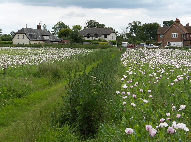
Little Ann is a small village located in the county of Hampshire, England. Situated on the outskirts of the city of Winchester, it is nestled in the picturesque countryside, surrounded by rolling hills and meandering streams. With a population of around 500 residents, Little Ann is known for its tranquil and idyllic atmosphere.

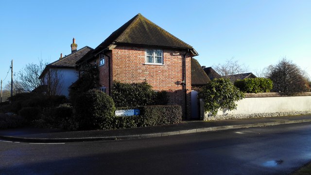
The village is characterized by its traditional English charm, boasting a collection of quaint cottages and historic buildings. The architecture reflects the village's rich history, with some structures dating back to the 17th century. The main focal point of the village is St. Mary's Church, a beautiful medieval church that serves as a reminder of Little Ann's religious heritage.

Despite its small size, Little Ann offers a range of amenities for its residents. The village has a local primary school, a village hall, and a small convenience store that caters to the daily needs of the community. Additionally, there is a charming pub where locals gather to socialize and enjoy traditional British fare.

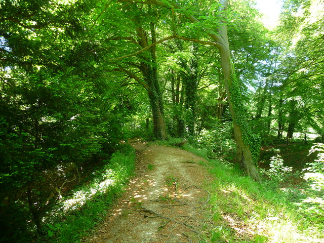
Surrounded by natural beauty, Little Ann is a haven for outdoor enthusiasts. The countryside offers ample opportunities for hiking, cycling, and exploring the nearby woodlands. The village also benefits from its close proximity to the South Downs National Park, a protected area known for its stunning landscapes and diverse wildlife.

Overall, Little Ann is a charming and peaceful village that offers a close-knit community, rich history, and access to the beauty of the Hampshire countryside.

If you have any feedback on the listing, please let us know in the comments section below.
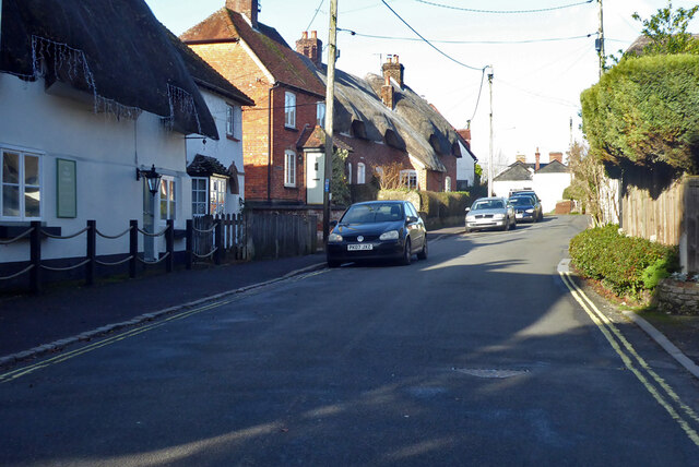
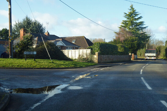
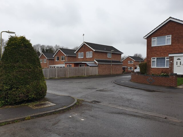
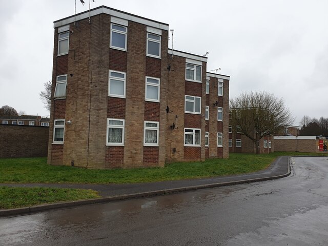
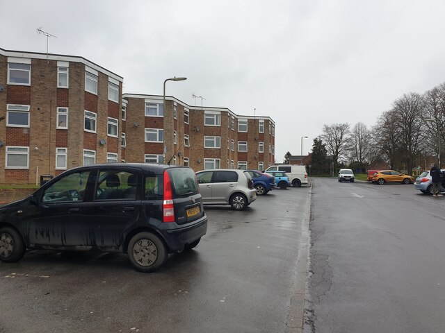
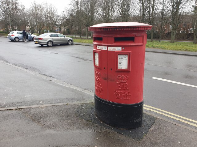
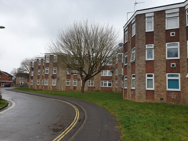
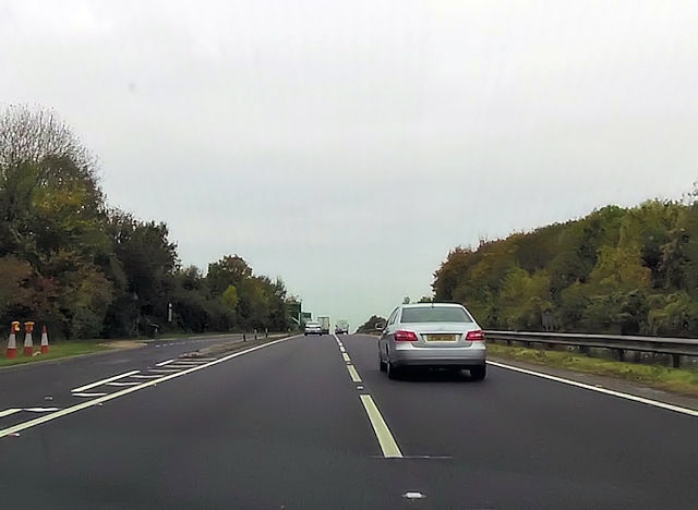
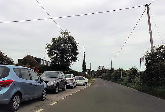
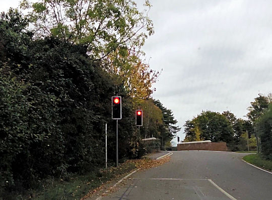
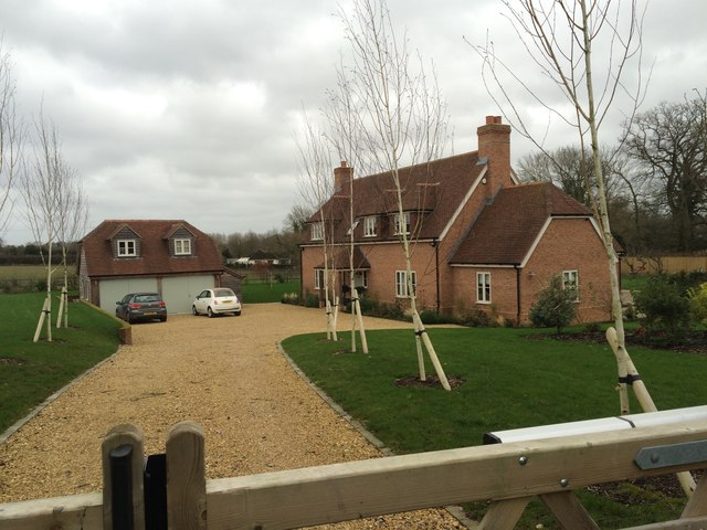
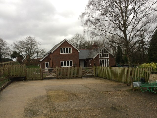
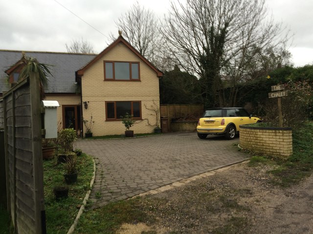
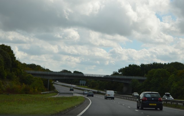
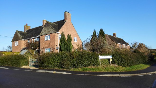
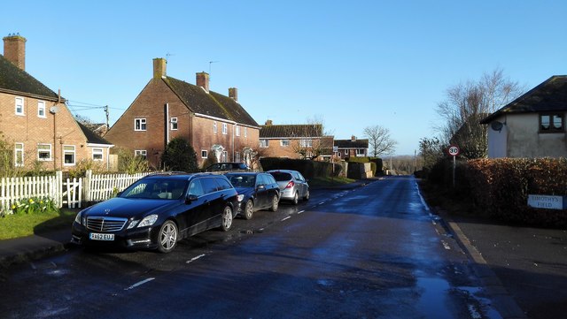
Little Ann Images

Images are sourced within 2km of 51.190593/-1.522737 or Grid Reference SU3343. Thanks to Geograph Open Source API. All images are credited.

Longstock Road, Upper Clatford Towards Andover.
Longstock Road, Upper Clatford
Towards Andover.
Junction of Foundry Road and Highbury Road, Upper Clatford Highbury Road, to the left, is a residential dead-end.
Junction of Foundry Road and Highbury Road, Upper Clatford
Highbury Road, to the left, is a residential dead-end.
Hazel Close A road on a small housing estate off the A303.
Hazel Close
A road on a small housing estate off the A303.
The Hexagon A block of flats in the shape of hexagons off Salisbury Road. This view is from Hazel Close.
The Hexagon
A block of flats in the shape of hexagons off Salisbury Road. This view is from Hazel Close.
Floral Way Floral Way is a small road off Salisbury Road which mainly serves as a car park for The Hexagon and the post office.
Floral Way
Floral Way is a small road off Salisbury Road which mainly serves as a car park for The Hexagon and the post office.
Double postbox on Floral Way A double postbox by the post office and car park on Floral Way. The road behind the trees and verge is Salisbury Road.
Double postbox on Floral Way
A double postbox by the post office and car park on Floral Way. The road behind the trees and verge is Salisbury Road.
The Hexagon A block of flats in the shape of hexagons off Salisbury Road. This view is from Hazel Close.
The Hexagon
A block of flats in the shape of hexagons off Salisbury Road. This view is from Hazel Close.
A303 at lay by Just west of river crossing
A303 at lay by
Just west of river crossing
Housing by Monxton Lane
Traffic light controlled narrow bridge At crossroads with Red Post Lane
Traffic light controlled narrow bridge
At crossroads with Red Post Lane
Donkey at Clatford Only information of this photo is "Clatford" writen in the margin. Many thanks to Robin Webster and Speculative Uploads Nearby for identifying the correct location which is Clatford Green, Junction of Red Rice Road and Sam White's Hill. Building on right is on Streetview.
Donkey at Clatford
Only information of this photo is "Clatford" writen in the margin. Many thanks to Robin Webster and Speculative Uploads Nearby for identifying the correct location which is Clatford Green, Junction of Red Rice Road and Sam White's Hill. Building on right is on Streetview.
Milne House, Abbotts Ann
20 Cattle Lane, Abbotts Ann
The Chalet, Anna Valley
A343 overbridge, A303 The A303 is a main trunk road running 92 miles between Basingstoke and Honiton. Along with the A30 and M3 it forms a major route between London and the South West. Much of the road is dual carriageway, but some stretches remain single and prone to congestion.

Wikipedia: <span class="nowrap"><a title="http://en.wikipedia.org/wiki/A303_road" rel="nofollow ugc noopener" href="http://en.wikipedia.org/wiki/A303_road">Link</a><img style="margin-left:2px;" alt="External link" title="External link - shift click to open in new window" src="https://s1.geograph.org.uk/img/external.png" width="10" height="10"/></span>
A343 overbridge, A303
The A303 is a main trunk road running 92 miles between Basingstoke and Honiton. Along with the A30 and M3 it forms a major route between London and the South West. Much of the road is dual carriageway, but some stretches remain single and prone to congestion. Wikipedia: LinkExternal link
Houses on Burberry off Ducks Street
Houses on Ducks Street
House on Catherines Walk
Show me another place!

Little Ann is located at Grid Ref: SU3343 (Lat: 51.190593, Lng: -1.522737)

Administrative County: Hampshire

District: Test Valley

Police Authority: Hampshire

What 3 Words

///soil.lifted.zone. Near Abbotts Ann, Hampshire

Related Wikis

Little Ann

Little Ann is an English hamlet attached to Abbotts Ann, approximately two miles south-west of Andover in the north-west of Hampshire. The Poplar Farm...

Abbotts Ann Down

Abbotts Ann Down is a hamlet in Hampshire, England, within the civil parish of Abbotts Ann. The settlement lies on the A343 road and is approximately 3...

Bury Hill

Bury Hill is the site of a former Iron Age hillfort about 1.5 miles (2.4 km) southwest of the centre of Andover, Hampshire. The site encloses about 22...

Red Rice, Hampshire

Red Rice is a hamlet and country house in the civil parish of Upper Clatford, south-west of Andover in the English county of Hampshire. == Etymology... ==

Nearby Amenities

Located within 500m of 51.190593,-1.522737
Bus Stop
St Marys Church
Naptan AtcoCode: 1900HA100290
Naptan Bearing: S
Naptan CommonName: St Marys Church
Naptan NaptanCode: hamamdad
Naptan Street: Rd Through Abbotts Ann
Naptan Verified: no
Source: naptan_import
Lat/Long: 51.1903927/-1.5269688
Bus Stop
St Marys Church
Naptan AtcoCode: 1900HA100291
Naptan Bearing: N
Naptan BusStopType: CUS
Naptan CommonName: St Marys Church
Naptan NaptanCode: hamamawm
Naptan Street: Rd Through Abbotts Ann
Naptan Verified: no
Source: naptan_import
Lat/Long: 51.1904001/-1.5270588
Bus Stop
Abbotts Close
Naptan AtcoCode: 1900HA100292
Naptan Bearing: E
Naptan CommonName: Abbotts Close
Naptan Crossing: Abbotts Close
Naptan NaptanCode: hamamdja
Naptan Street: Rd Through Abbotts Ann
Naptan Verified: no
Source: naptan_import
Lat/Long: 51.1910051/-1.5246281
Bus Stop
Abbotts Close
Naptan AtcoCode: 1900HA100293
Naptan Bearing: W
Naptan BusStopType: CUS
Naptan CommonName: Abbotts Close
Naptan Crossing: Abbotts Close
Naptan NaptanCode: hamamdgw
Naptan Street: Rd Through Abboitts Ann
Naptan Verified: no
Source: naptan_import
Lat/Long: 51.1909427/-1.5246474
Bus Stop
Abbots Hill
Naptan AtcoCode: 1900HA100294
Naptan Bearing: E
Naptan CommonName: Abbots Hill
Naptan Crossing: Abbotts Hill
Naptan NaptanCode: hamamdmg
Naptan Street: Cat Bells
Naptan Verified: no
Source: naptan_import
Lat/Long: 51.191471/-1.5211256
Bus Stop
Abbots Hill
Naptan AtcoCode: 1900HA100295
Naptan Bearing: W
Naptan BusStopType: CUS
Naptan CommonName: Abbots Hill
Naptan Crossing: Abbotts Hill
Naptan NaptanCode: hamamdmj
Naptan Street: Cat Bells
Naptan Verified: no
Source: naptan_import
Lat/Long: 51.191405/-1.5211398
Bus Stop
Poplar Farm Inn
Naptan AtcoCode: 1900HA100296
Naptan Bearing: W
Naptan CommonName: Poplar Farm Inn
Naptan Crossing: Old Salisbury Road
Naptan NaptanCode: hamamdtp
Naptan Street: Cat Bells
Naptan Verified: no
Source: naptan_import
Lat/Long: 51.1913679/-1.5186004
Bus Stop
Poplar Farm Inn
Naptan AtcoCode: 1900HA100297
Naptan Bearing: E
Naptan BusStopType: CUS
Naptan CommonName: Poplar Farm Inn
Naptan Crossing: Old Salisbury Road
Naptan NaptanCode: hamamdwj
Naptan Street: Cat Bells
Naptan Verified: no
Source: naptan_import
Lat/Long: 51.191452/-1.5185673
Bus Stop
Old Salisbury Road
Naptan AtcoCode: 1900HA100298
Naptan Bearing: N
Naptan CommonName: Old Salisbury Road
Naptan NaptanCode: hamamdtd
Naptan Street: Salisbury Road
Naptan Verified: no
Source: naptan_import
Lat/Long: 51.1884355/-1.5191969
Bus Stop
Old Salisbury Road
Naptan AtcoCode: 1900HA100299
Naptan Bearing: SW
Naptan CommonName: Old Salisbury Road
Naptan NaptanCode: hamamdta
Naptan Street: Salisbury Road
Naptan Verified: no
Source: naptan_import
Lat/Long: 51.187585/-1.5197393
Bus Stop
Poplar Farm Inn
Naptan AtcoCode: 1900HAA09109
Naptan Bearing: SW
Naptan CommonName: Poplar Farm Inn
Naptan Crossing: Old Salisbury Road
Naptan Landmark: Poplar Farm Inn Ph
Naptan NaptanCode: hamjawpw
Naptan Street: A343 Salisbury Road
Naptan Verified: no
Source: naptan_import
Lat/Long: 51.1912781/-1.5171649
Bus Stop
Poplar Farm Inn
Naptan AtcoCode: 1900HAA90865
Naptan Bearing: N
Naptan BusStopType: CUS
Naptan CommonName: Poplar Farm Inn
Naptan Crossing: Old Salisbury Road
Naptan Landmark: Poplar Farm Inn Ph
Naptan NaptanCode: hamjmajg
Naptan Street: A343 Salisbury Road
Naptan Verified: no
Source: naptan_import
Lat/Long: 51.1913207/-1.5173931
Pub
The Poplar Farm Inn
Brand: Vintage Inns
Brand Wikidata: Q87067899
Contact Website: https://www.vintageinn.co.uk/restaurants/south-east/thepoplarfarmabbottsann
Outdoor Seating: yes
Smoking: outside
Toilets: yes
Toilets Wheelchair: yes
Wheelchair: yes
Wikidata: Q26385337
Lat/Long: 51.1912799/-1.517719
Little Ann
Place: hamlet
Wikidata: Q6648911
Lat/Long: 51.19137/-1.5213215
Fuel
Lat/Long: 51.1867045/-1.5210156
Shop: car_repair
Lat/Long: 51.1866477/-1.5213382
The data included in this document is from www.openstreetmap.org. The data is made available under ODbL.

Have you been to Little Ann?

Leave your review of Little Ann below (or comments, questions and feedback).