Altcar, Little
Settlement in Lancashire
England
Altcar, Little

Altcar is a small village located in the civil parish of Little Altcar, within the county of Lancashire, England. Situated on the western coast, it lies approximately 8 miles north of the popular coastal town of Southport. Altcar is surrounded by vast agricultural fields and countryside, offering a serene and picturesque setting.
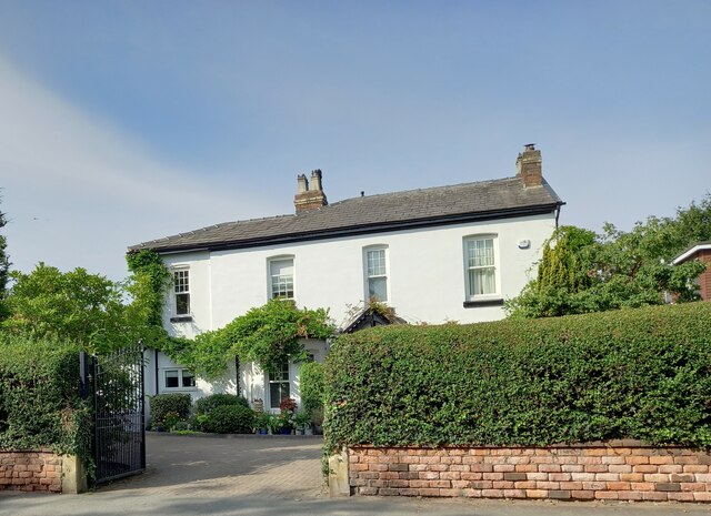
The village itself is characterized by a close-knit community and a peaceful atmosphere. It features a scattering of residential houses, with a charming mix of architectural styles, ranging from traditional cottages to modern builds. Altcar is known for its well-preserved historic buildings, some of which date back to the 17th century, adding to its unique character.
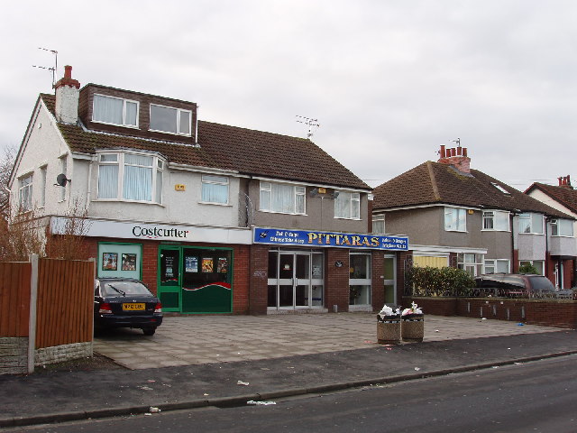
Although small in size, Altcar offers a range of amenities to its residents and visitors. The village has a local pub, providing a friendly gathering place for locals and tourists alike. Additionally, Altcar benefits from its proximity to nearby towns and cities, offering easy access to a wider range of services and recreational activities.
Nature enthusiasts will appreciate the proximity to natural attractions such as Altcar Rifle Range, where visitors can enjoy stunning views of the surrounding countryside and observe a variety of wildlife. The nearby coastline also offers opportunities for long walks along the beach and breathtaking sunsets.
Altcar's idyllic location and tranquil ambiance make it an appealing destination for those seeking a peaceful retreat within the beautiful Lancashire countryside.
If you have any feedback on the listing, please let us know in the comments section below.
Altcar, Little Images
Images are sourced within 2km of 53.546636/-3.055066 or Grid Reference SD3006. Thanks to Geograph Open Source API. All images are credited.


Altcar, Little is located at Grid Ref: SD3006 (Lat: 53.546636, Lng: -3.055066)
Unitary Authority: Sefton
Police Authority: Merseyside
What 3 Words
///feast.being.treat. Near Formby, Merseyside
Nearby Locations
Related Wikis

Little Altcar
Little Altcar is a village and civil parish in the Metropolitan Borough of Sefton on Merseyside, within the boundaries of the historic county of Lancashire...
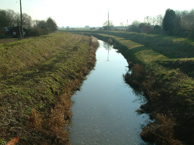
Downholland Brook
Downholland Brook is a 4.3-kilometre-long (2.7 mi) river (brook) in Merseyside, England, that is a tributary to the River Alt in the Alt catchment. Rising...
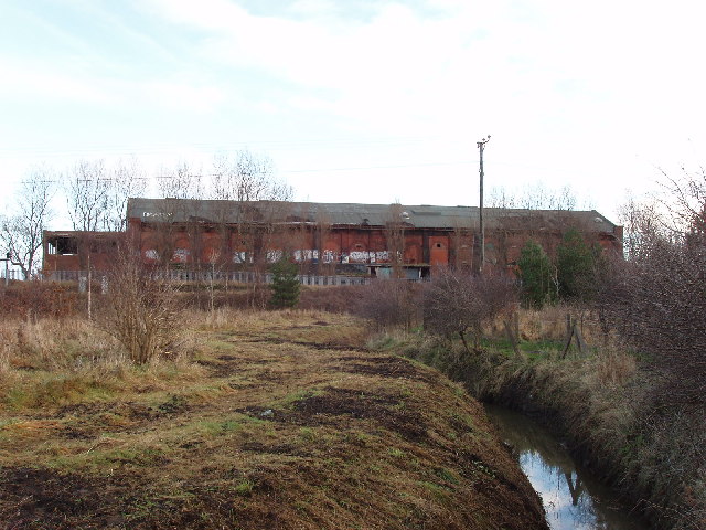
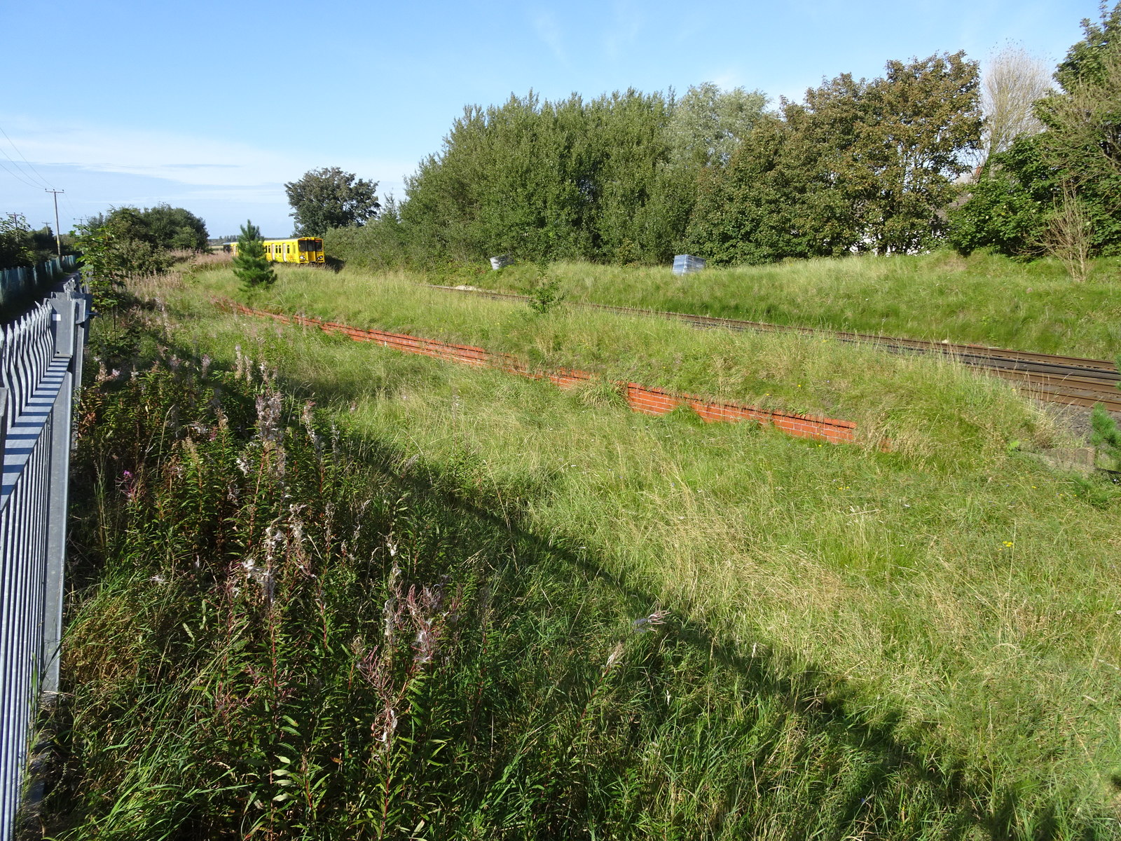
Formby Power Station railway station
Formby Power Station railway station was a railway station on the Liverpool, Crosby and Southport Railway, situated south of Hogshill Lane and just north...
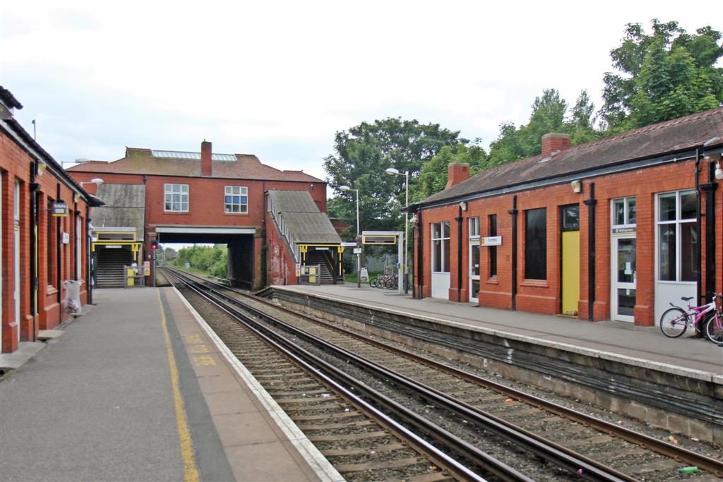
Formby railway station
Formby railway station is a railway station in the town of Formby, Merseyside, England. The station is located on the Southport branch of the Merseyrail...
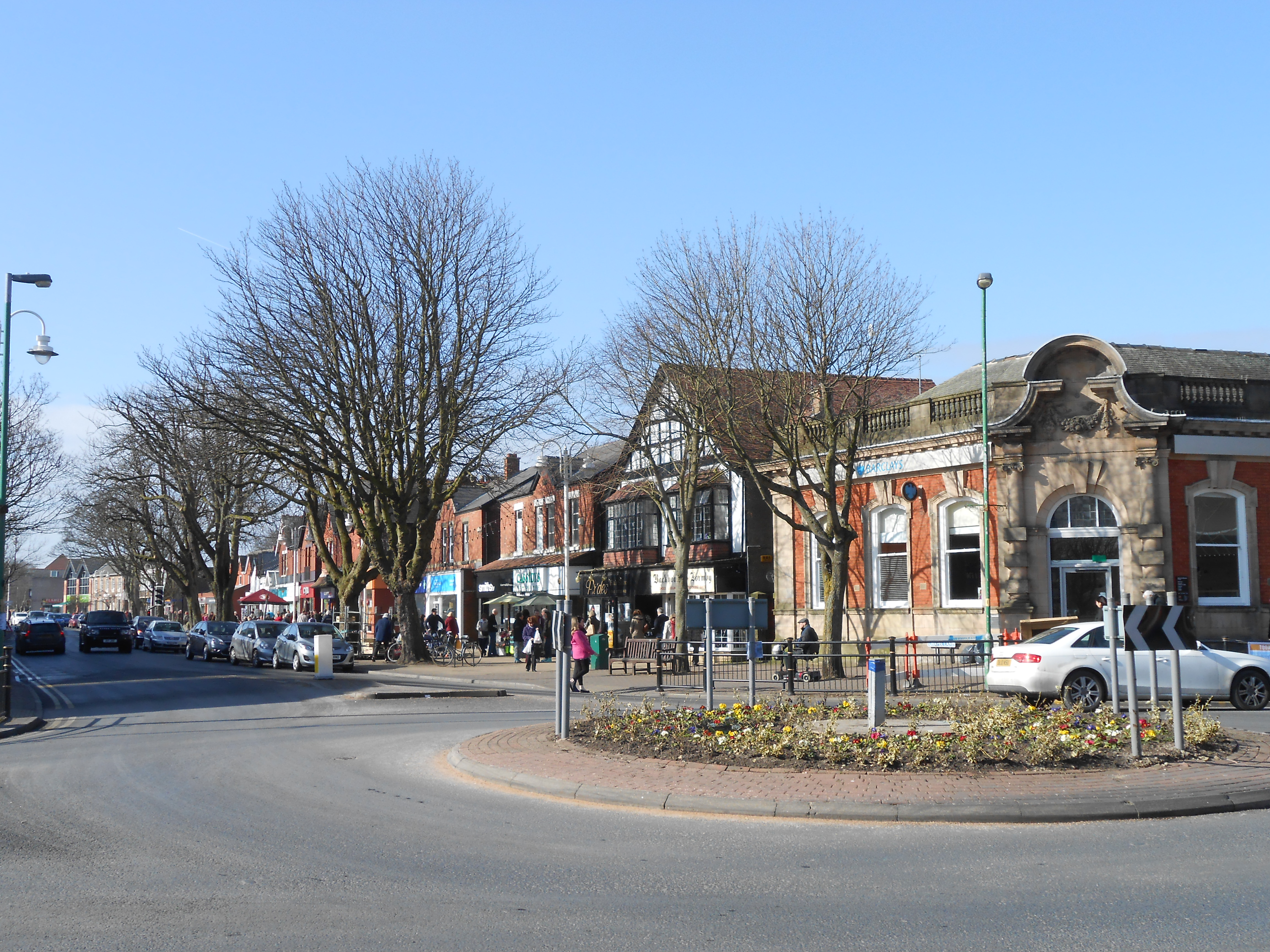
Formby
Formby is a town and civil parish in the Metropolitan Borough of Sefton, Merseyside, England. Historically in Lancashire, three manors are recorded in...

Range High School
Range High School is a coeducational secondary school and sixth form located in Formby, Merseyside, England. It was built during the early 1970s after...
Altcar Rifle Range railway station
Altcar Rifle Range railway station was a railway station on the Liverpool, Crosby and Southport Railway, situated a third of a mile north of Hightown,...
Formby High School
Formby High School is an English secondary school with academy status located in the town of Formby, Merseyside. The local primary schools Freshfield,...
Nearby Amenities
Located within 500m of 53.546636,-3.055066Have you been to Altcar, Little?
Leave your review of Altcar, Little below (or comments, questions and feedback).