Alne, Little

Settlement in Warwickshire Stratford-on-Avon

England

Alne, Little

Whitehouse Hill
Whitehouse Hill Credit: Helen Steed

Alne is a small village located in the county of Warwickshire, England. Situated in the district of Stratford-on-Avon, it is part of the civil parish of Little Alne. The village is set in a picturesque rural landscape, characterized by rolling hills, lush green fields, and charming cottages.

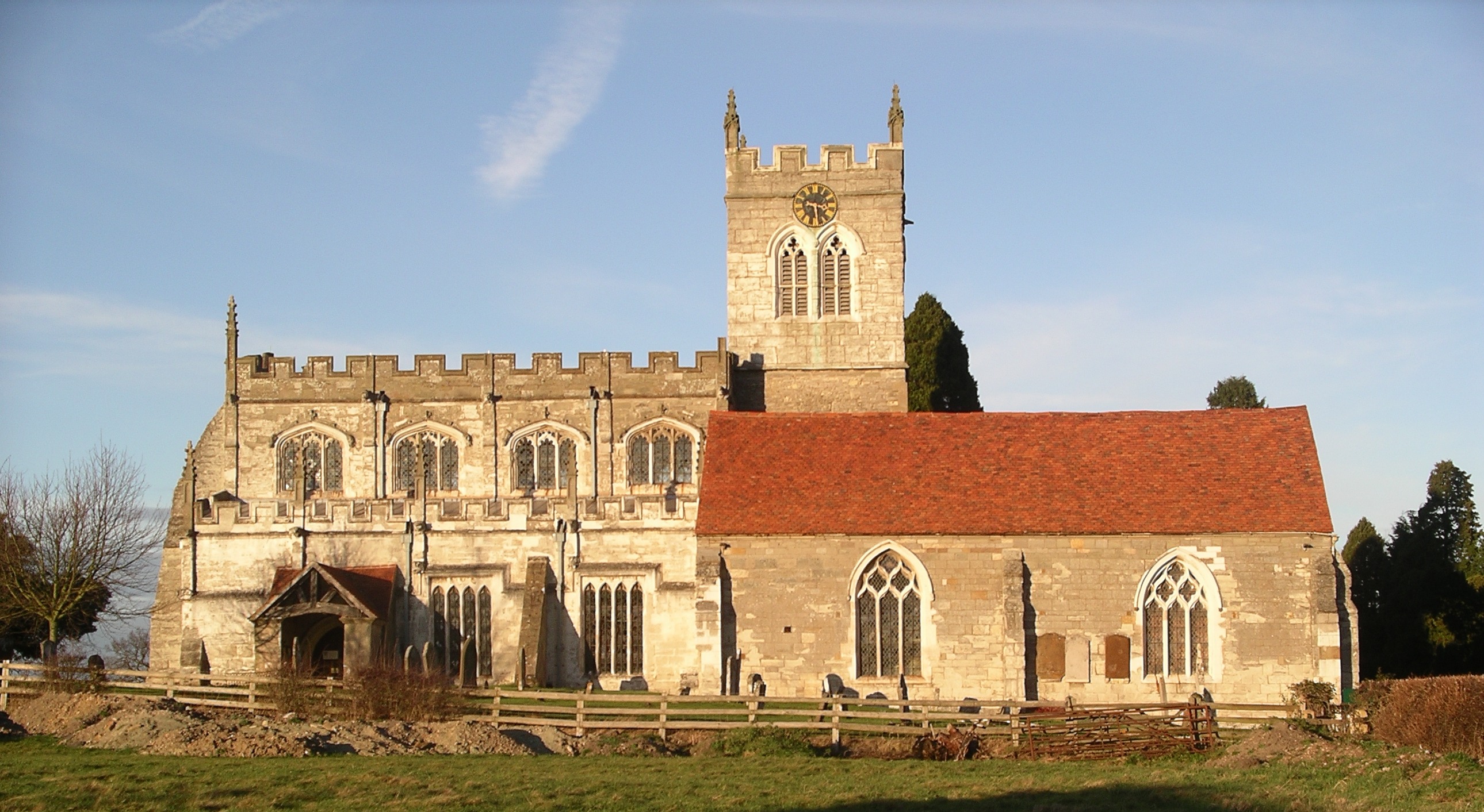
Alne is known for its historical significance, with evidence of settlement dating back to the medieval period. The village is home to St. Mary's Church, a Grade II listed building that dates back to the 12th century. The church features architectural elements from different periods, including Norman, Gothic, and Tudor styles, making it an interesting site for history enthusiasts.

Despite its small size, Alne has a strong sense of community and offers a range of amenities to its residents. The village has a local pub, The Queens Head, which provides a cozy atmosphere and serves traditional English cuisine. There is also a village hall that hosts various social events and gatherings.

Nature lovers can enjoy the surrounding countryside, with several footpaths and trails that offer opportunities for walking, hiking, and exploring the scenic beauty of the area. The nearby Alne Wood provides a serene environment and is home to a diverse range of flora and fauna.

Alne is located in close proximity to other notable towns and attractions in Warwickshire, such as Stratford-upon-Avon, Warwick Castle, and the Cotswolds. Its idyllic rural setting, combined with its rich history and community spirit, makes Alne a charming destination for visitors and a peaceful place to call home.

If you have any feedback on the listing, please let us know in the comments section below.
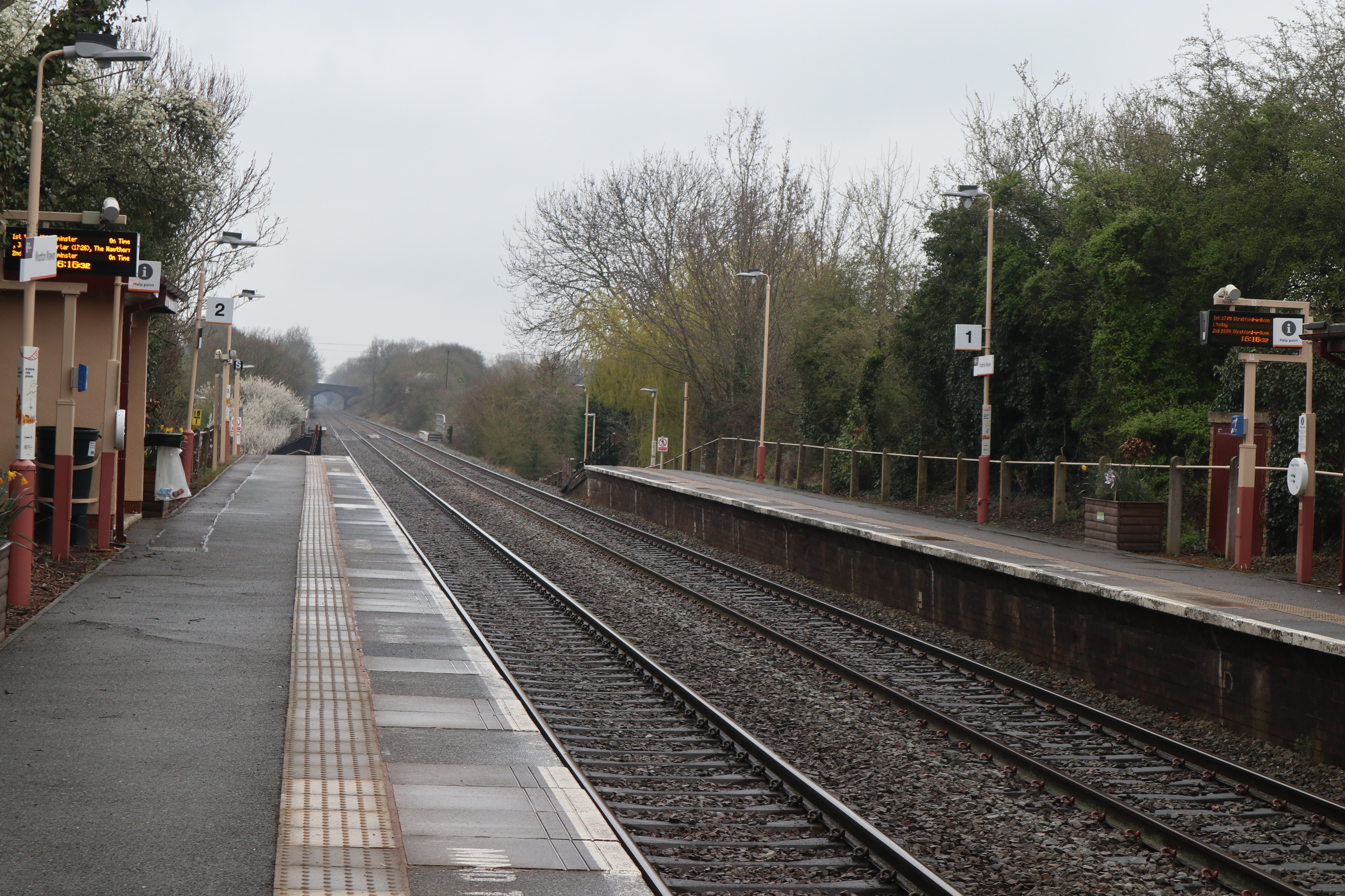
Alne, Little Images

Images are sourced within 2km of 52.249398/-1.796215 or Grid Reference SP1461. Thanks to Geograph Open Source API. All images are credited.

Whitehouse Hill
Whitehouse Hill
Footpath off Whitehouse Hill
Track off Bearley Road, Aston Cantlow
Bearley Road, Aston Cantlow Looking north-eastward.
Bearley Road, Aston Cantlow
Looking north-eastward.
Bridleway track between arable fields, Aston Cantlow Looking south-eastward.
Bridleway track between arable fields, Aston Cantlow
Looking south-eastward.
B4089 Road to Little Alne
Barn, Mill Farm
Barn, Mill Farm
Mill Lane near Mill Farm Looking north east.
Mill Lane near Mill Farm
Looking north east.
Meadow, Aston Cantlow View from Wilmcote Lane.
Meadow, Aston Cantlow
View from Wilmcote Lane.
Wilmcote Lane, Aston Cantlow Looking south east.
Wilmcote Lane, Aston Cantlow
Looking south east.
Cottages on Brook Road, Aston Cantlow
The Aston Cantlow Club
Sign for the Aston Cantlow Club
The King's Head, Aston Cantlow
The nave of St John the Baptist Church, Aston Cantlow
War memorial inside St John the Baptist Church, Aston Cantlow
Aston Cantlow Cottage on Church Lane.
Aston Cantlow
Cottage on Church Lane.
In Aston Cantlow
In Aston Cantlow
Show me another place!

Alne, Little is located at Grid Ref: SP1461 (Lat: 52.249398, Lng: -1.796215)

Administrative County: Warwickshire

District: Stratford-on-Avon

Police Authority: Warwickshire

What 3 Words

///recoup.dragon.chestnuts. Near Wilmcote, Warwickshire

Related Wikis

Nearby Amenities

Located within 500m of 52.249398,-1.796215
Barrier: kissing_gate
Lat/Long: 52.2522037/-1.7906806
Little Alne
Name La: Alne Parva
Place: hamlet
Lat/Long: 52.2489087/-1.797003
Alcester Road
Naptan AtcoCode: 4200F038800
Naptan Bearing: SW
Naptan BusStopType: CUS
Naptan CommonName: Alcester Road
Naptan Indicator: Adj
Naptan NaptanCode: wardampt
Naptan Street: Alcester Road
Naptan Verified: no
Source: naptan_import
Lat/Long: 52.2486757/-1.7967233
Barrier: stile
Lat/Long: 52.2477437/-1.7933569
Barrier: kissing_gate
Lat/Long: 52.2497656/-1.7946618
Public Transport: stop_position
Lat/Long: 52.2487124/-1.7967367
Post Box
Collection Times: Mo-Fr 08:45; Sa 08:45
Operator: Royal Mail
Post Box Type: wall
Ref: B95 25
Royal Cypher: VR
Royal Cypher Wikidata: Q33102356
Source: survey
Lat/Long: 52.2484588/-1.7974401
Fire Hydrant
Emergency: fire_hydrant
Fire Hydrant Position: green
Fire Hydrant Type: underground
Note: in Grass verge
Lat/Long: 52.2478483/-1.7990434
Fire Hydrant
Emergency: fire_hydrant
Fire Hydrant Position: lane
Fire Hydrant Type: underground
Note: in carriageway
Lat/Long: 52.2486201/-1.797139
Aston Cantlow
Historic Railway: halt
Railway: site
Wikidata: Q4810952
Wikipedia: en:Aston Cantlow Halt railway station
Lat/Long: 52.2460841/-1.7927735
Power: pole
Source: bing
Lat/Long: 52.2530701/-1.7942128
Power: pole
Source: bing
Lat/Long: 52.2523107/-1.7945762
Power: pole
Source: bing
Lat/Long: 52.2514872/-1.7950228
Power: pole
Ref: 775939
Source: wpd_opendata
Transformer: distribution
Lat/Long: 52.2503501/-1.7956129
Power: pole
Source: bing
Lat/Long: 52.2497959/-1.7957228
Power: pole
Ref: 775940
Source: wpd_opendata
Transformer: distribution
Lat/Long: 52.2452339/-1.7935395
Power: pole
Ref: 775951
Source: wpd_opendata
Transformer: distribution
Lat/Long: 52.2493024/-1.7959723
Generator Method: photovoltaic
Generator Output Electricity: yes
Generator Source: solar
Generator Type: solar_photovoltaic_panel
Location: roof
Power: generator
Lat/Long: 52.2477457/-1.7981248
Generator Method: photovoltaic
Generator Output Electricity: yes
Generator Source: solar
Generator Type: solar_photovoltaic_panel
Location: roof
Power: generator
Lat/Long: 52.247813/-1.7980228
Power: pole
Ref: 775933
Source: wpd_opendata
Transformer: distribution
Lat/Long: 52.2479313/-1.7964913
Power: pole
Source: bing
Lat/Long: 52.2475224/-1.7974354
Power: pole
Ref: 775953
Source: wpd_opendata
Transformer: distribution
Lat/Long: 52.2474936/-1.7983809
Power: pole
Source: bing
Lat/Long: 52.2471783/-1.7981918
Power: pole
Source: bing
Lat/Long: 52.2469008/-1.7980067
Power: pole
Source: bing
Lat/Long: 52.2462357/-1.797599
Power: pole
Source: bing
Lat/Long: 52.2454901/-1.7971699
Power: pole
Source: bing
Lat/Long: 52.245027/-1.7955123
Power: pole
Source: bing
Lat/Long: 52.2534125/-1.7946982
Power: pole
Source: bing
Lat/Long: 52.2534117/-1.7991829
Power: pole
Source: bing
Lat/Long: 52.2530554/-1.7980617
Power: pole
Source: bing
Lat/Long: 52.2531785/-1.7970398
Power: pole
Source: bing
Lat/Long: 52.2532902/-1.7960367
Power: pole
Source: bing
Lat/Long: 52.2534215/-1.7950496
The data included in this document is from www.openstreetmap.org. The data is made available under ODbL.

Have you been to Alne, Little?

Leave your review of Alne, Little below (or comments, questions and feedback).