Almshoe, Little
Settlement in Hertfordshire North Hertfordshire
England
Almshoe, Little
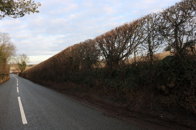
Almshoe is a small village located in the county of Hertfordshire, England. Situated in the district of Little, it is nestled amidst picturesque countryside, offering residents and visitors a tranquil and scenic environment.
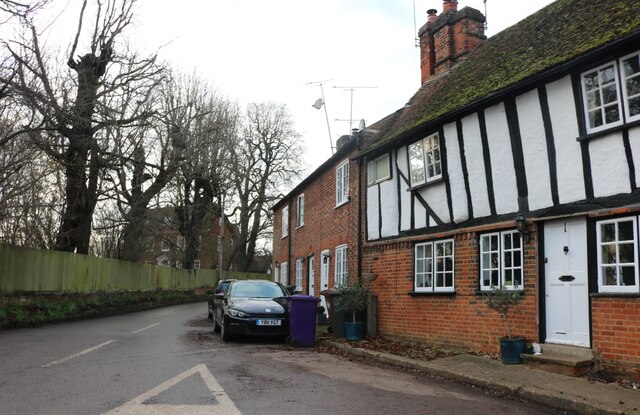
The village is known for its rich historical heritage, with evidence of human activity dating back to the Roman era. Almshoe is home to several notable landmarks, including the St. Peter's Church, an exquisite medieval building that stands as a testament to the village's past. The church features stunning architecture and houses various historical artifacts, making it a popular destination for history enthusiasts.
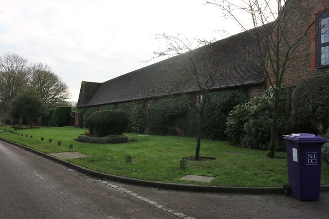
Despite its small size, Almshoe boasts a close-knit community that takes pride in preserving the village's charm and character. Residents actively engage in community activities, organizing events and gatherings that foster a strong sense of belonging. The village also benefits from a range of amenities, including a village hall, a local pub, and a primary school, ensuring the needs of its inhabitants are met.
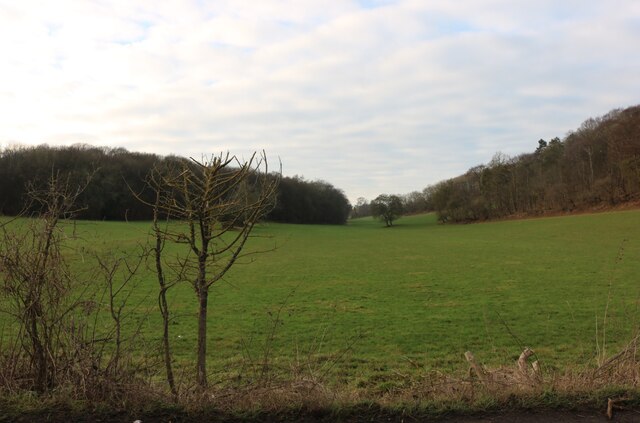
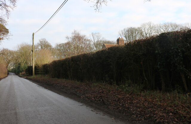
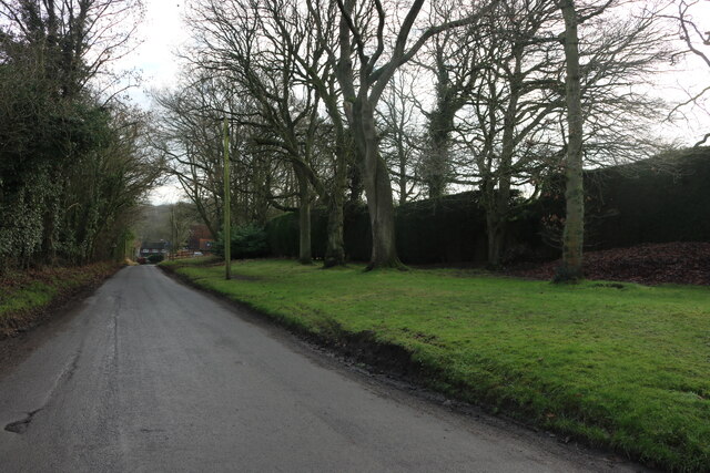
Nature enthusiasts are drawn to Almshoe for its idyllic surroundings, offering ample opportunities for outdoor activities. The village is surrounded by rolling hills, lush green fields, and meandering streams, making it a haven for hikers, cyclists, and nature lovers alike.
With its rich history, friendly community, and stunning natural landscapes, Almshoe, Little, Hertfordshire, is a charming village that offers a peaceful escape from the bustle of modern life.
If you have any feedback on the listing, please let us know in the comments section below.
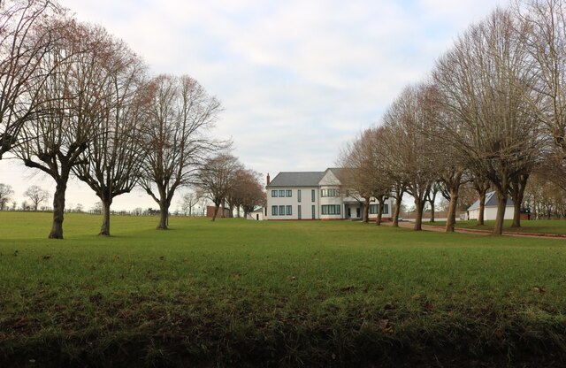
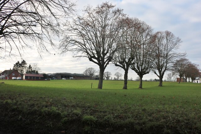
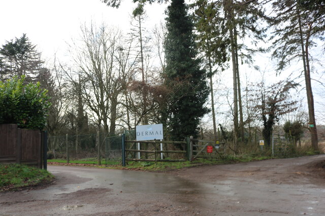
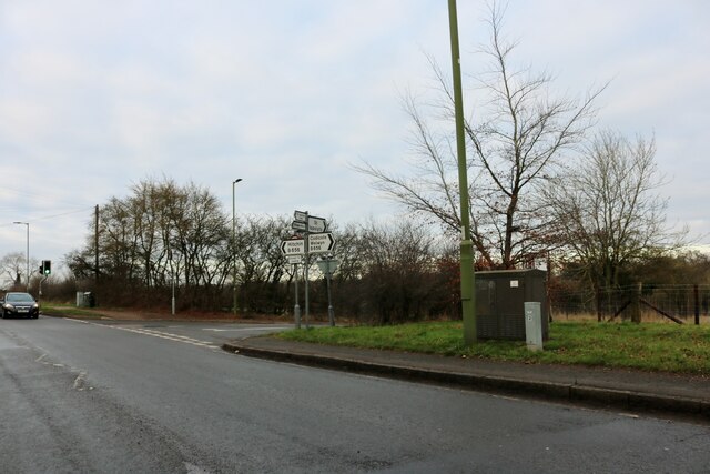
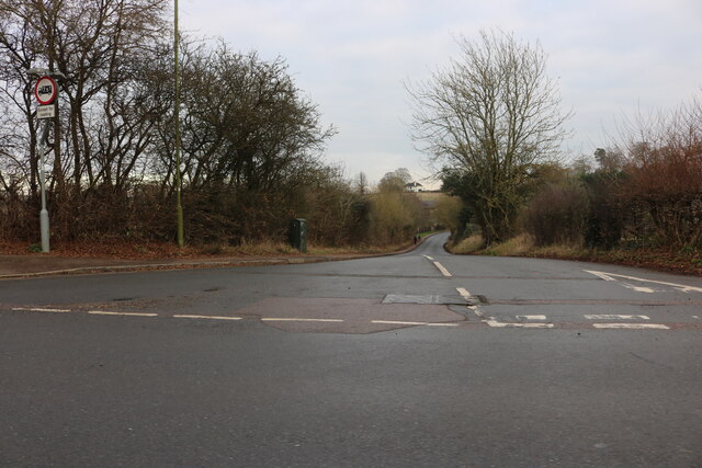
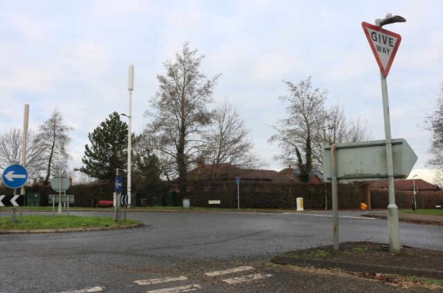
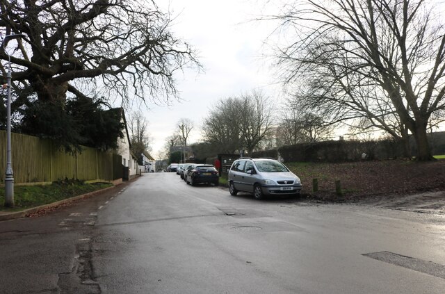
Almshoe, Little Images
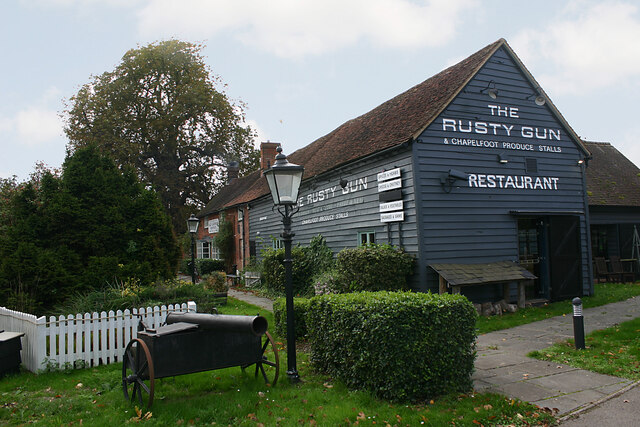
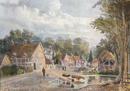
Images are sourced within 2km of 51.91928/-0.262052 or Grid Reference TL1925. Thanks to Geograph Open Source API. All images are credited.

Almshoe, Little is located at Grid Ref: TL1925 (Lat: 51.91928, Lng: -0.262052)
Administrative County: Hertfordshire
District: North Hertfordshire
Police Authority: Hertfordshire
What 3 Words
///petty.covers.nobody. Near Hitchin, Hertfordshire
Nearby Locations
Related Wikis
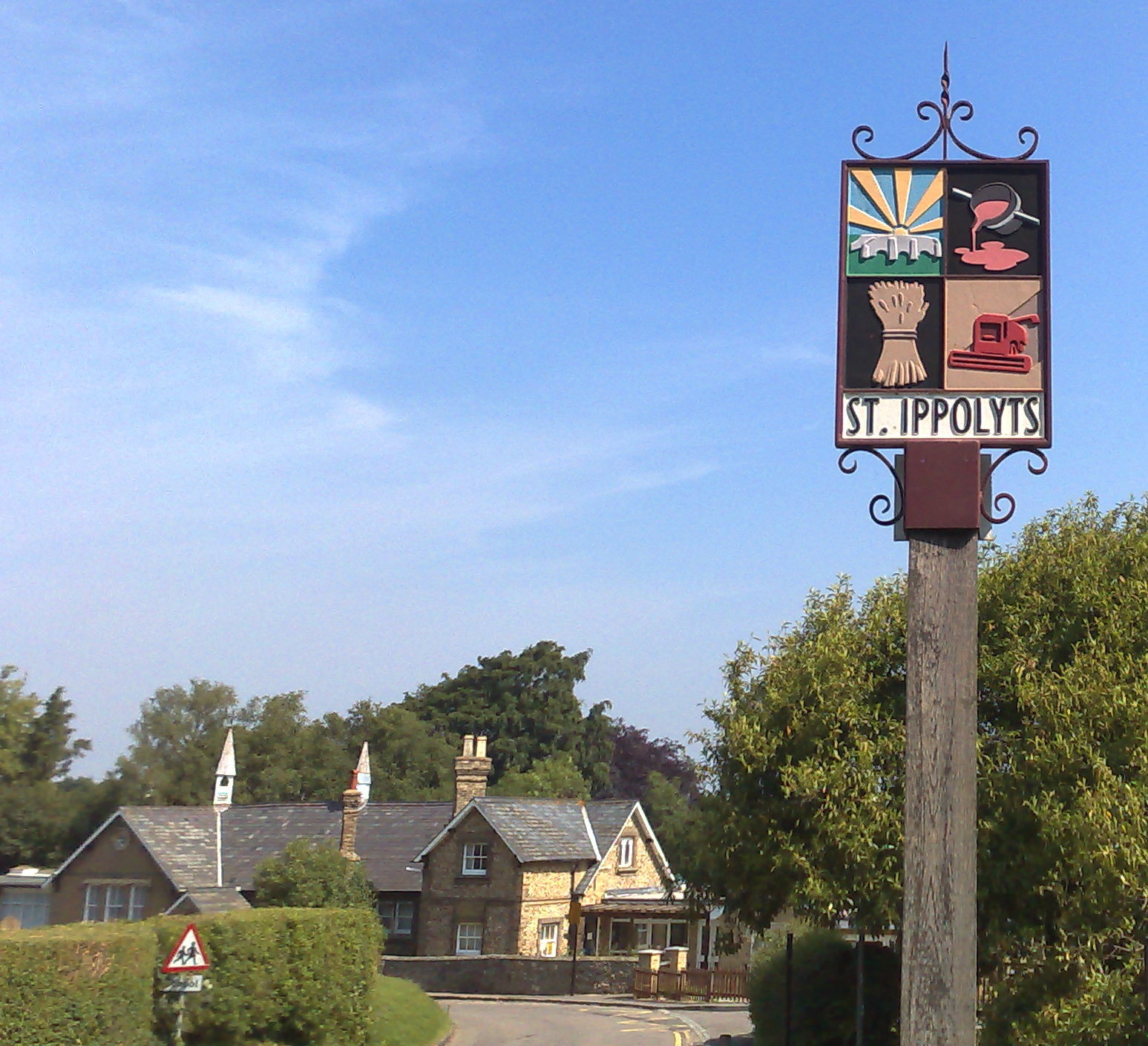
St Ippolyts
St Ippolyts (or St Ippollitts) is a village and civil parish on the southern edge of Hitchin in Hertfordshire, England. It has a population of approximately...

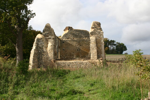
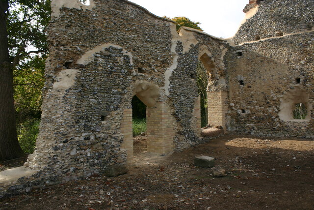
Minsden Chapel
Minsden Chapel is an isolated ruined chapel in the fields above the hamlet of Chapelfoot, near Preston, Hertfordshire. Today it is a roofless shell, partly...
Gosmore
Gosmore is a hamlet in the parish of St Ippolyts (where the population at the 2011 Census was included) near Hitchin in Hertfordshire, England. One interesting...

Wain Wood
Wain Wood is an ancient woodland extending to 19.2 hectares (47 acres) near Preston in North Hertfordshire. The site is a Site of Special Scientific Interest...
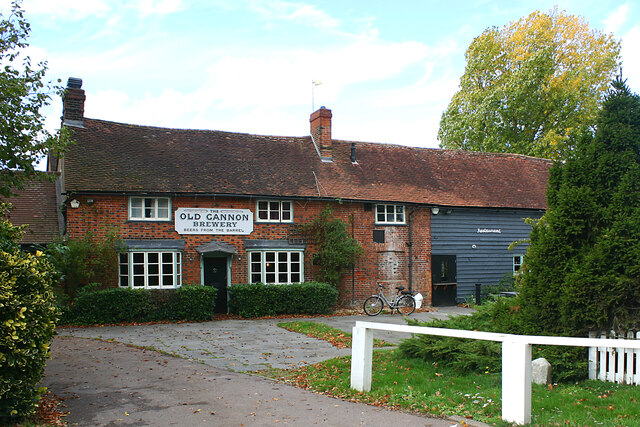
Nearby Amenities
Located within 500m of 51.91928,-0.262052Have you been to Almshoe, Little?
Leave your review of Almshoe, Little below (or comments, questions and feedback).