Eilean Beag
Island in Argyllshire
Scotland
Eilean Beag
The requested URL returned error: 429 Too Many Requests
If you have any feedback on the listing, please let us know in the comments section below.
Eilean Beag Images
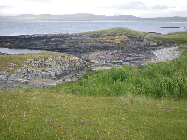
Images are sourced within 2km of 55.888361/-6.3538065 or Grid Reference NR2774. Thanks to Geograph Open Source API. All images are credited.
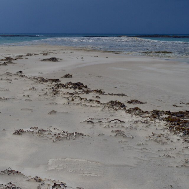
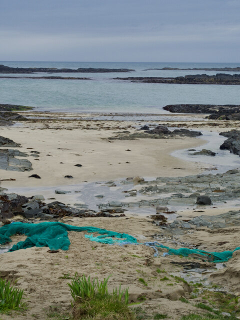
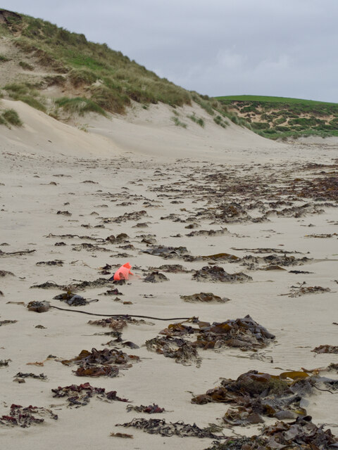
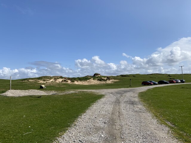
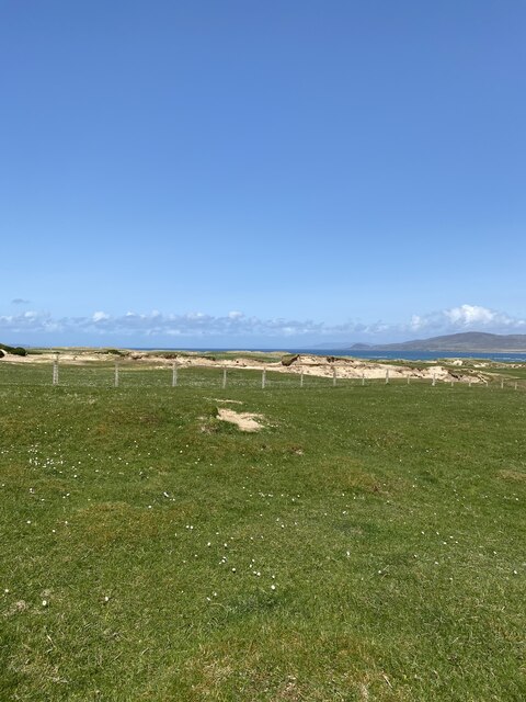
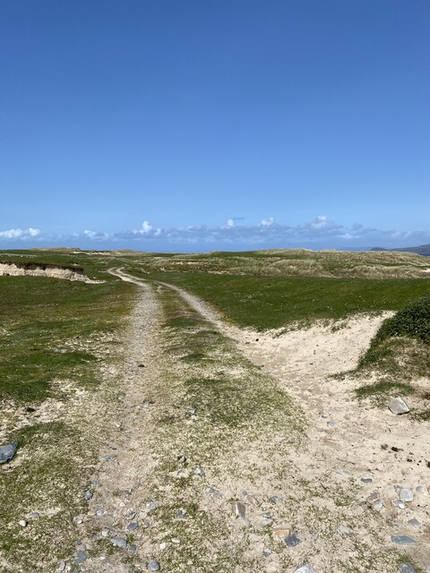
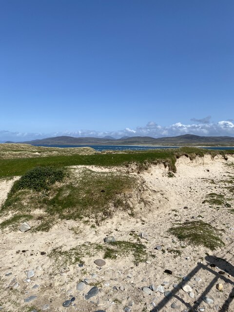
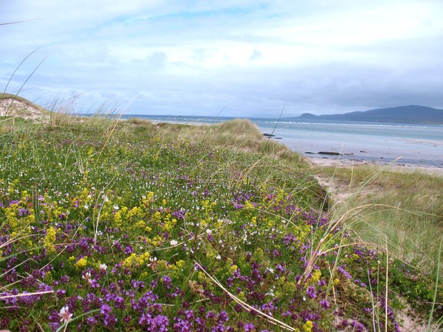
![Eilean Nòstaig lobster farm The windswept rolling headland of Ardnave Point is a mix of machair and sand dunes and populated by inquisitive sheep.
Along the Atlantic facing coast, a strange abandoned arrangement of concrete dam walls and rusty sluice gates, too small for a boat. I read that it is an abandoned lobster farm [Google Books. (2013). Walking on Jura, Islay and Colonsay].
Further information has proved quite elusive. Canmore, the Scottish Heritage site lists "Two stone built fish traps on the shore" of unassigned age. These were definitely concrete.
A report written in 1973 notes "in recent years a concrete fishing tank has been constructed in the southwest corner of the [Ardnave peninsula], making use of a naturally advantageous position between the shore and the rocks on the lower beach. At the time of survey the tank was unused".
More questions than answers.
For references see my blog <span class="nowrap"><a title="http://www.fhithich.uk/?p=28109" rel="nofollow ugc noopener" href="http://www.fhithich.uk/?p=28109">Link</a><img style="margin-left:2px;" alt="External link" title="External link - shift click to open in new window" src="https://s1.geograph.org.uk/img/external.png" width="10" height="10"/></span>](https://s0.geograph.org.uk/geophotos/07/18/54/7185448_eadfeea9.jpg)
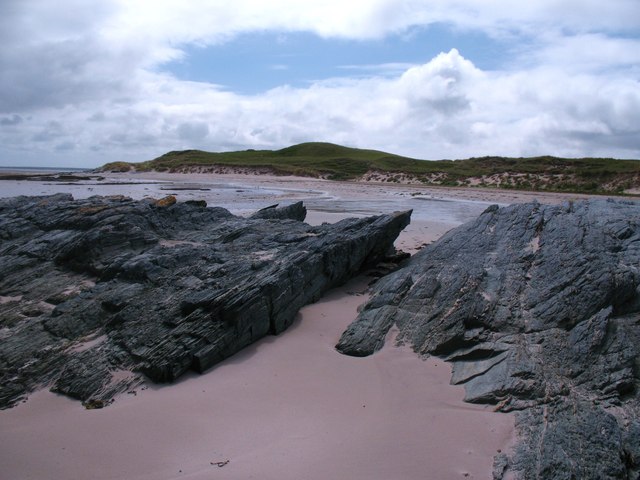
![Eilean Nostaig Accessible outcrop of rock with a few grass patches which appears to qualify as an island [according to its name].](https://s1.geograph.org.uk/geophotos/02/53/97/2539753_fb32370e.jpg)
Eilean Beag is located at Grid Ref: NR2774 (Lat: 55.888361, Lng: -6.3538065)
Unitary Authority: Argyll and Bute
Police Authority: Argyll and West Dunbartonshire
What 3 Words
///deal.answer.polishing. Near Bridgend, Argyll & Bute
Nearby Locations
Related Wikis
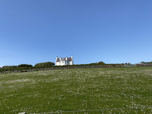
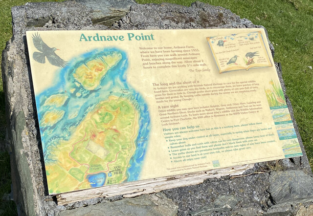
Ardnave Point
Ardnave Point (Scottish Gaelic, Àird an Naoimh) is a coastal promontory on the northwest of Islay, a Scottish island. This landform has a rocky northern...

Nave Island
Nave Island lies to the north of Islay in the Inner Hebrides near the mouth of Loch Gruinart. It is uninhabited. == Geography == The island is all but...

Loch Gruinart
Loch Gruinart (Scottish Gaelic: Loch Gruinneard from the Old Norse, meaning "shallow fjord") is a sea loch on the northern coast of isle of Islay in Scotland...

Battle of Traigh Ghruinneart
The Battle of Traigh Ghruinneart or in Scottish Gaelic Blàr Tràigh Ghruineart or sometimes called the Battle of Gruinart Strand was a Scottish clan battle...
Nearby Amenities
Located within 500m of 55.888361,-6.3538065Have you been to Eilean Beag?
Leave your review of Eilean Beag below (or comments, questions and feedback).