An Dubh Sgeir
Island in Inverness-shire
Scotland
An Dubh Sgeir
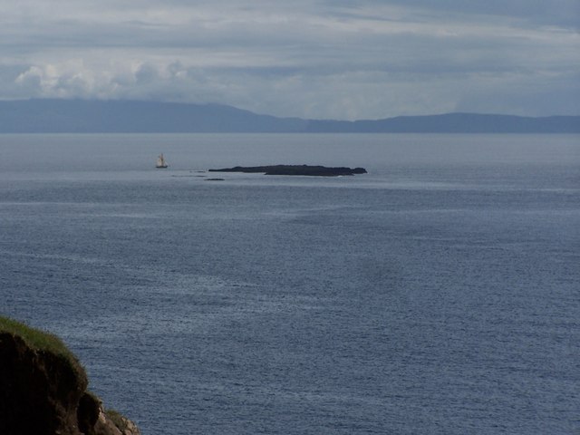
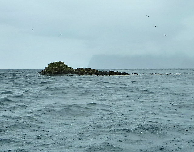
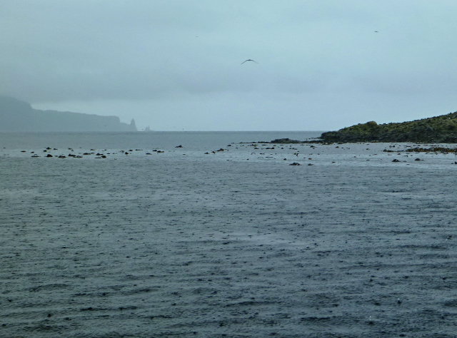
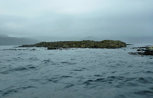
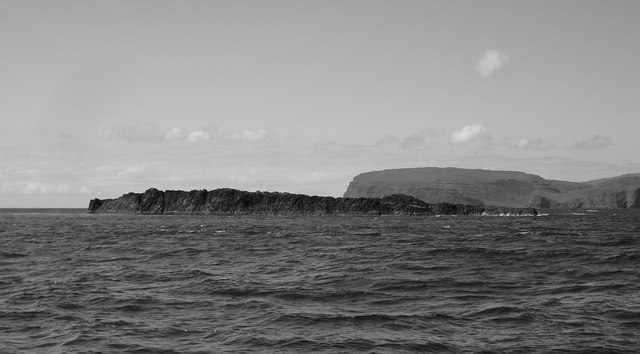
An Dubh Sgeir is a small uninhabited island located off the coast of Inverness-shire, Scotland. Also known as "The Black Skerry" in English, it is situated in the Moray Firth, approximately 2 kilometers east of the village of Cromarty.
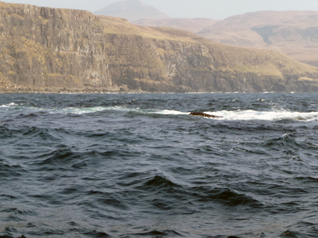
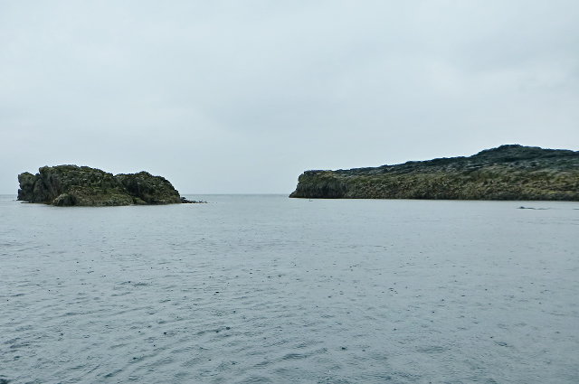
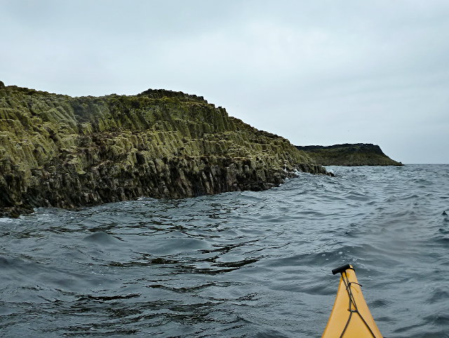
This island stands out due to its unique geological formation. It is composed mainly of dark basalt rock, giving it a distinct black appearance. The island is relatively small, measuring about 100 meters in diameter, and rises just a few meters above sea level. It is surrounded by shallow waters, making it accessible only during low tide.
An Dubh Sgeir is known to be a significant breeding ground for various seabirds. The island provides a safe nesting site for species such as guillemots, razorbills, and puffins. Birdwatchers and nature enthusiasts often visit the island to observe these magnificent creatures in their natural habitat.
Additionally, the waters surrounding An Dubh Sgeir are rich in marine life. Seals can often be spotted resting on the rocks or swimming in the vicinity. The nutrient-rich waters support a diverse range of fish and other marine organisms, making it an attractive location for fishing.
Due to its remote location and lack of infrastructure, An Dubh Sgeir is mostly left undisturbed. It serves as a peaceful retreat for wildlife and offers a tranquil experience for those who venture to explore its unique natural beauty.
If you have any feedback on the listing, please let us know in the comments section below.
An Dubh Sgeir Images
Images are sourced within 2km of 57.33706/-6.6704641 or Grid Reference NG1937. Thanks to Geograph Open Source API. All images are credited.
An Dubh Sgeir is located at Grid Ref: NG1937 (Lat: 57.33706, Lng: -6.6704641)
Unitary Authority: Highland
Police Authority: Highlands and Islands
What 3 Words
///bookshelf.chuckling.beaks. Near Glendale, Highland
Nearby Locations
Related Wikis
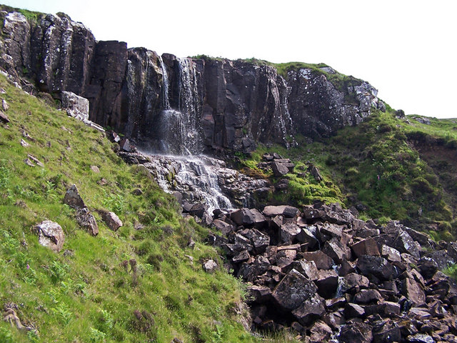
Eas Mòr, Durinish
Eas Mòr is a waterfall on the Duirinish peninsula of the island of Skye in Scotland. It lies on the Allt Mhicheil, a tributary of the Dibidal River below...

Healabhal Bheag
Healabhal Bheag is a hill located on the Duirinish peninsula of the Isle of Skye in the Inner Hebrides, Scotland. It is also known as MacLeod's Table South...

Ramasaig
Ramasaig is a small township on the western shore of the Duirinish peninsula, on Dunvegan, Isle of Skye and is in the Scottish Highlands and is in the...
Loch Bracadale
Loch Bracadale (Scottish Gaelic: Loch Bhràcadail) is a sea loch on the west coast of Skye in Scotland. It separates the Minginish Peninsula in the south...
Nearby Amenities
Located within 500m of 57.33706,-6.6704641Have you been to An Dubh Sgeir?
Leave your review of An Dubh Sgeir below (or comments, questions and feedback).