Eilean Dubh

Island in Inverness-shire

Scotland

Eilean Dubh

Cuddy Point, Isle of Scalpay The pier at Cuddy Point, on the west side of Scalpay was built in 1899 and has historically served as the main landing point on the island for mail boats, supply vessels, fishing boats and - more recently - a growing number of fish farm vessels. 

Although there is now a local authority pier in the main village, this suffers from landing restrictions and Cuddy Point Pier - known locally as the Old Mail Boat Pier, is still widely used for deep-water landing of medium and large vessels.
Cuddy Point, Isle of Scalpay Credit: David Wake

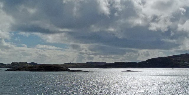
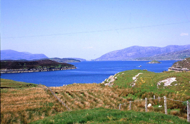
Eilean Dubh is a small island located in the Scottish Highlands, specifically in Inverness-shire. The island is situated in the picturesque Loch Lochy, a freshwater loch known for its stunning natural beauty. Eilean Dubh, which translates to "Black Island" in English, gets its name from the dark-colored rocks that are abundant on its shores.

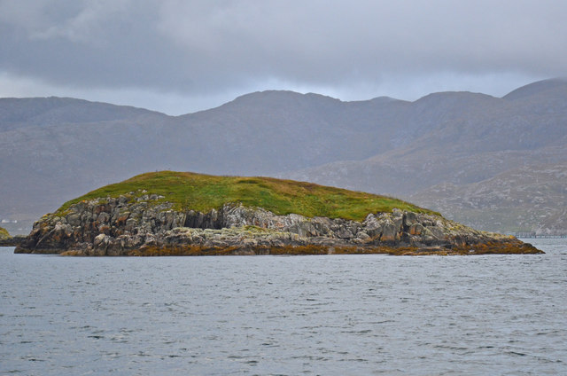
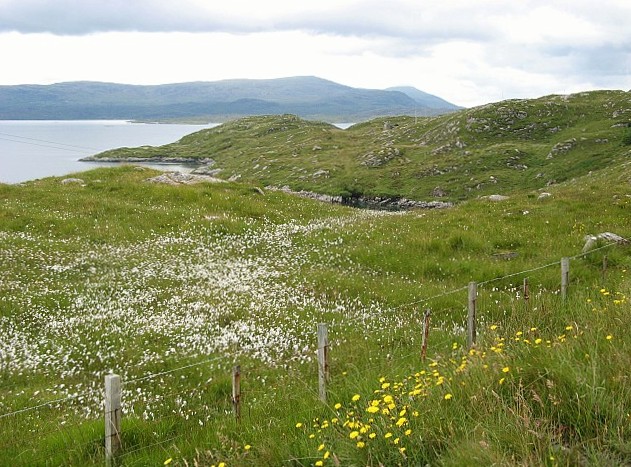
The island itself is relatively small, measuring approximately 2 hectares in size. It is mostly covered in dense vegetation, including trees, shrubs, and various types of wildflowers. The lush greenery provides a habitat for a wide range of bird species, making it a popular spot for birdwatching enthusiasts.

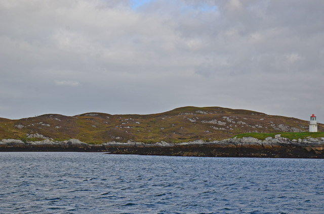
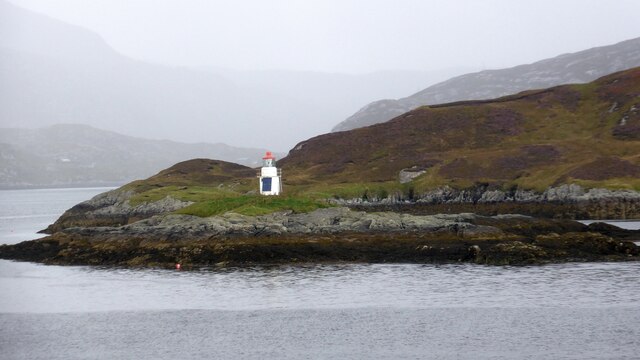
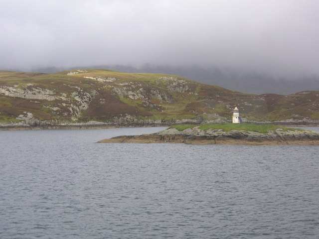
Access to Eilean Dubh is limited due to its remote location and lack of infrastructure. However, the island can be reached by boat, with several local tour operators offering trips to explore its natural wonders. Visitors can enjoy walks along the island's rugged coastline, take in the panoramic views of Loch Lochy, or simply relax and soak in the tranquil atmosphere.

The surrounding area of Inverness-shire offers plenty of attractions for those looking to explore further. The nearby Great Glen Way, a famous long-distance walking path, passes close to Eilean Dubh, providing opportunities for hikers to embark on scenic adventures. Additionally, the region is home to several historical sites, such as the ruins of Old Inverlochy Castle and the Battle of Culloden Visitor Centre.

Overall, Eilean Dubh is a hidden gem in the Scottish Highlands, offering visitors a chance to immerse themselves in nature and experience the rugged beauty of the region.

If you have any feedback on the listing, please let us know in the comments section below.
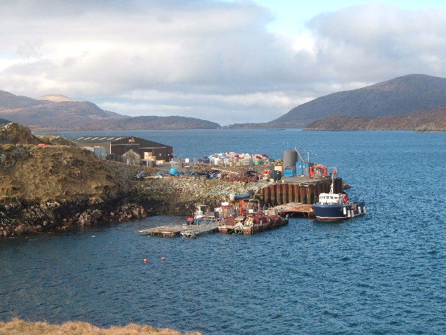
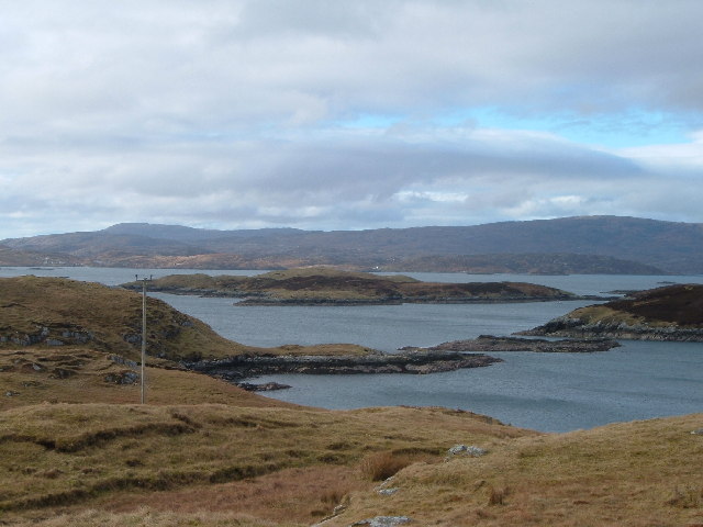
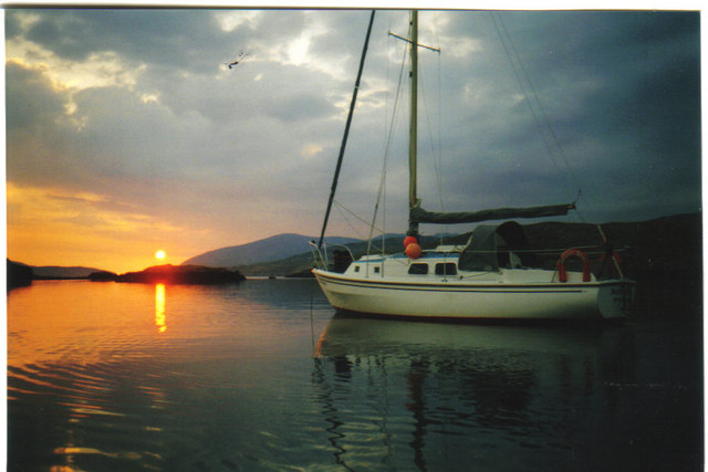
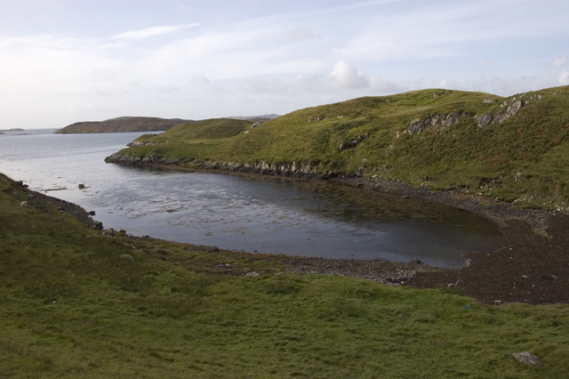
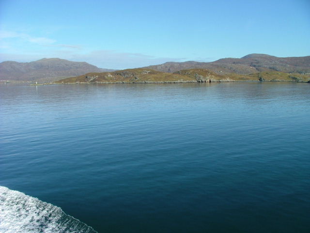
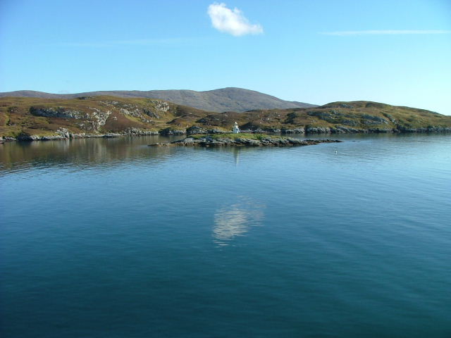
Eilean Dubh Images

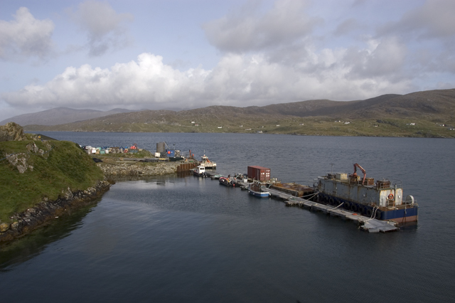
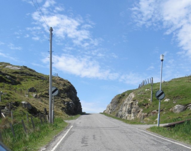
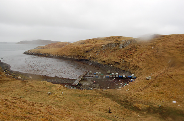
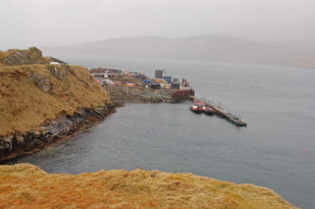
Images are sourced within 2km of 57.870088/-6.7400965 or Grid Reference NG1996. Thanks to Geograph Open Source API. All images are credited.

Cuddy Point, Isle of Scalpay The pier at Cuddy Point, on the west side of Scalpay was built in 1899 and has historically served as the main landing point on the island for mail boats, supply vessels, fishing boats and - more recently - a growing number of fish farm vessels. 

Although there is now a local authority pier in the main village, this suffers from landing restrictions and Cuddy Point Pier - known locally as the Old Mail Boat Pier, is still widely used for deep-water landing of medium and large vessels.
Cuddy Point, Isle of Scalpay
The pier at Cuddy Point, on the west side of Scalpay was built in 1899 and has historically served as the main landing point on the island for mail boats, supply vessels, fishing boats and - more recently - a growing number of fish farm vessels. Although there is now a local authority pier in the main village, this suffers from landing restrictions and Cuddy Point Pier - known locally as the Old Mail Boat Pier, is still widely used for deep-water landing of medium and large vessels.
Islands off the West coast of Scalpay From Airdna Cille on the Isle of Scalpay, looking across East Loch Tarbert towards Drinisiadar, with the South Harris hills on the horizon.
Islands off the West coast of Scalpay
From Airdna Cille on the Isle of Scalpay, looking across East Loch Tarbert towards Drinisiadar, with the South Harris hills on the horizon.
Sunset from North Harbour Scalpay The sun dips into the Atlantic over West Loch Tarbert in distance
Sunset from North Harbour Scalpay
The sun dips into the Atlantic over West Loch Tarbert in distance
Small inlet on west coast of Scalpay
Pier, North Harbour, Scalpay
New-ish cutting with road near Ceann a' Ghàraidh
Bagh na Muice An inlet on Scalpay. By September 2009 <a href="https://www.geograph.org.uk/photo/1514170">NG2096 : Small inlet on west coast of Scalpay</a> the pontoons had disappeared.
Bagh na Muice
An inlet on Scalpay. By September 2009 NG2096 : Small inlet on west coast of Scalpay the pontoons had disappeared.
The pier at Rubha nan Cudaigean
Gloraig Dhubh, Loch an Tairbeairt, Harris The northern (right hand) tip of Gloraig Dhubh, the larger skerry, and the whole of the smaller skerry lie within the grid square.
Gloraig Dhubh, Loch an Tairbeairt, Harris
The northern (right hand) tip of Gloraig Dhubh, the larger skerry, and the whole of the smaller skerry lie within the grid square.
Sgeotasaigh Sgeotasaigh, or Scotsay, is an island west of Scalpay in East Loch Tarbert. The light on the right of the image is on Sgeir Ghlas in NG1896.
Sgeotasaigh
Sgeotasaigh, or Scotsay, is an island west of Scalpay in East Loch Tarbert. The light on the right of the image is on Sgeir Ghlas in NG1896.
Stac a Chaorainn A small island to the east of Sgeotasaigh in East Loch Tarbert.
Stac a Chaorainn
A small island to the east of Sgeotasaigh in East Loch Tarbert.
Sgeir Ghlas lighthouse A small lighthouse built around 1900. <span class="nowrap"><a title="https://uklighthousetour.com/tag/sgeir-ghlas/" rel="nofollow ugc noopener" href="https://uklighthousetour.com/tag/sgeir-ghlas/">Link</a><img style="margin-left:2px;" alt="External link" title="External link - shift click to open in new window" src="https://s1.geograph.org.uk/img/external.png" width="10" height="10"/></span>
Sgeir Ghlas lighthouse
A small lighthouse built around 1900. LinkExternal link
East Loch an Tairbeairt from N. Harris. Correction: N.Harris not South Harris.
East Loch an Tairbeairt from N. Harris.
Correction: N.Harris not South Harris.
View over Bàgh Carragraich Looking down on the bay and across Loch Tarbert from just below the Tarbert-Scalpay road.
View over Bàgh Carragraich
Looking down on the bay and across Loch Tarbert from just below the Tarbert-Scalpay road.
Beacon on Sgeir Glas Beacon on Sgeir Glas, with Sgeotasaigh (Scotasay) in the background. The image was taken from the Ferry from Tarbert to Uig
Beacon on Sgeir Glas
Beacon on Sgeir Glas, with Sgeotasaigh (Scotasay) in the background. The image was taken from the Ferry from Tarbert to Uig
Sgeotasaigh / Scotsay Sgeotasaigh / Scotsay as seen from the Tarbert to Uig ferry with the Scalpaigh / Scalpay bridge in the background.
Sgeotasaigh / Scotsay
Sgeotasaigh / Scotsay as seen from the Tarbert to Uig ferry with the Scalpaigh / Scalpay bridge in the background.
Western Shore of  Sgeotasaigh Viewed from the Uig to Tarbert ferry.The beacon on Sgeir Ghlas can be seen on the left of picture.
Western Shore of Sgeotasaigh
Viewed from the Uig to Tarbert ferry.The beacon on Sgeir Ghlas can be seen on the left of picture.
Beacon on Sgeir Ghlas With Sgeotasaigh behind.
Beacon on Sgeir Ghlas
With Sgeotasaigh behind.
Show me another place!

Eilean Dubh is located at Grid Ref: NG1996 (Lat: 57.870088, Lng: -6.7400965)

Unitary Authority: Na h-Eileanan an Iar

Police Authority: Highlands and Islands

What 3 Words

///variety.hometown.barstool. Near Tarbert, Na h-Eileanan Siar

Related Wikis

East Loch Tarbert

East Loch Tarbert (Scottish Gaelic: Loch an Tairbeairt) is a sea loch that lies to the east of Harris in the Outer Hebrides of Scotland. The loch contains...

Sgeotasaigh

Scotasay (Scottish Gaelic: Sgeotasaigh) is small island in the Outer Hebrides of Scotland. It lies 1 kilometre (0.6 miles) off the east coast of Harris...

Scalpay, Outer Hebrides

Scalpay (; Scottish Gaelic: Sgalpaigh or Sgalpaigh na Hearadh; i.e. "Scalpay of Harris" to distinguish it from Scalpay off Skye) is an island in the Outer...

Harris distillery

Harris distillery is a Scotch whisky and Gin distillery in Tarbert on the Isle of Harris, Scotland. The distillery was the first legal distillery ever...

Nearby Amenities

Located within 500m of 57.870088,-6.7400965
Noexit: yes
Lat/Long: 57.8741494/-6.7431564
The data included in this document is from www.openstreetmap.org. The data is made available under ODbL.

Have you been to Eilean Dubh?

Leave your review of Eilean Dubh below (or comments, questions and feedback).