Sgeir Ruadh
Island in Ross-shire
Scotland
Sgeir Ruadh
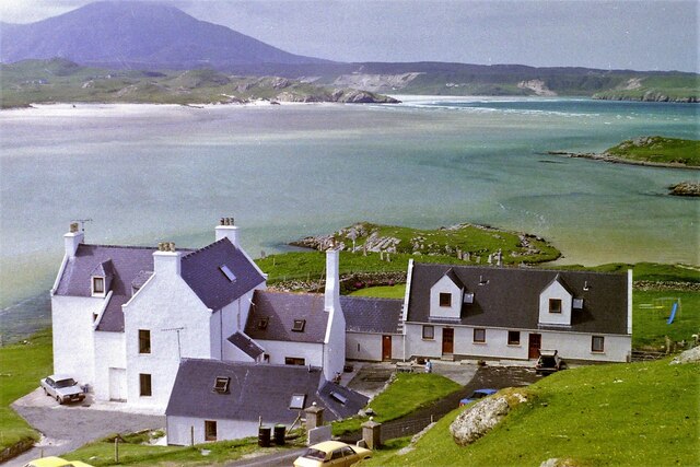
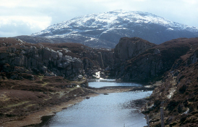
Sgeir Ruadh is a small uninhabited island located off the coast of Ross-shire, Scotland. Also known as Red Rock, the island is situated in the Inner Sound, between the Isle of Skye and the mainland. It is part of the Inner Hebrides archipelago.
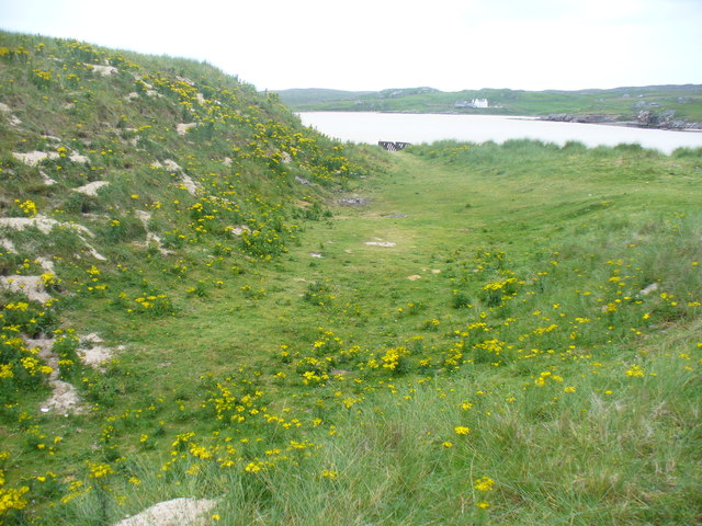
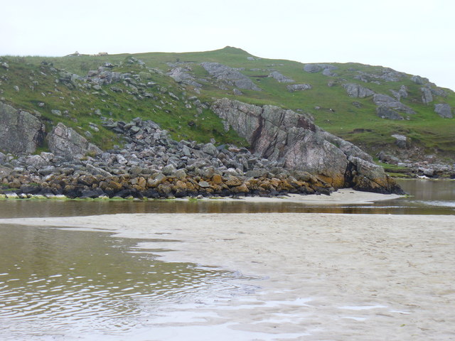
Measuring approximately 1.5 hectares in size, Sgeir Ruadh is a rugged and rocky island. Its name, which translates to "red rock" in Scottish Gaelic, is derived from the distinctive reddish color of the rock formations that dominate the island's landscape. The island is surrounded by clear, turquoise waters, making it an attractive spot for divers and snorkelers.
Sgeir Ruadh is known for its diverse wildlife. The island serves as a breeding ground for various seabird species, including puffins, razorbills, and guillemots. Visitors to the island may also spot seals basking on the rocks or swimming in the surrounding waters. The island's waters are also home to a rich variety of marine life, including fish, crustaceans, and shellfish.
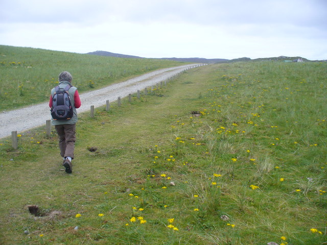
Access to Sgeir Ruadh is primarily by boat, as there are no regular ferry services to the island. Private boat trips or charters are the most common means of reaching the island. Due to its remote location and lack of facilities, visitors are advised to bring their own supplies and be mindful of the island's fragile ecosystem.
Overall, Sgeir Ruadh offers a unique opportunity to experience the beauty of Scotland's rugged coastal scenery, observe diverse wildlife, and immerse oneself in a tranquil and untouched natural environment.
If you have any feedback on the listing, please let us know in the comments section below.
Sgeir Ruadh Images
Images are sourced within 2km of 58.184381/-7.0336645 or Grid Reference NB0432. Thanks to Geograph Open Source API. All images are credited.


Sgeir Ruadh is located at Grid Ref: NB0432 (Lat: 58.184381, Lng: -7.0336645)
Unitary Authority: Na h-Eileanan an Iar
Police Authority: Highlands and Islands
What 3 Words
///useful.shepherdess.kiosk. Near Carloway, Na h-Eileanan Siar
Nearby Locations
Related Wikis

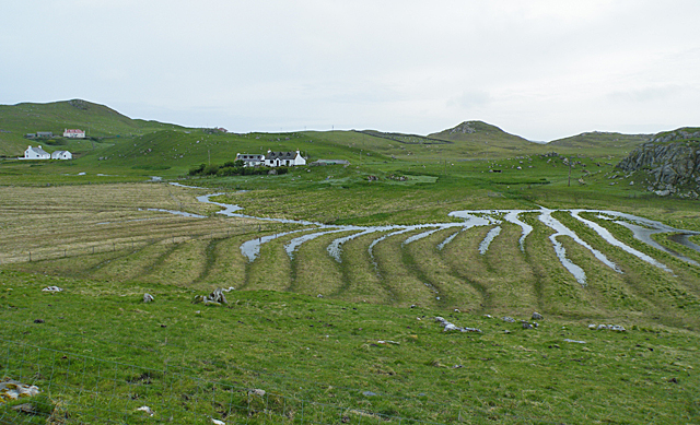
Ardroil
Ardroil (Scottish Gaelic: Eadar Dhà Fhadhail) is a village on the Isle of Lewis in the Outer Hebrides, Scotland. Ardroil is within the parish of Uig....

Uig, Lewis
Uig (Scottish Gaelic: Ùig [uːkʲ]), also known as Sgìr' Ùig, is a civil parish and community in the west of the Isle of Lewis in the Outer Hebrides, Scotland...

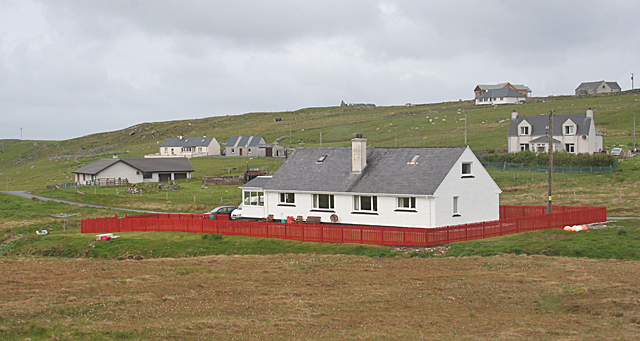
Timsgarry
Timsgarry (Scottish Gaelic: Tuimisgearraidh) is a village on the Isle of Lewis, in the Outer Hebrides, Scotland. Timsgarry is home to the Baile na Cille...

Abhainn Dearg distillery
Abhainn Dearg distillery ( AV-in JAIRG) or Red River distillery is a Scotch whisky distillery in Uig, on the west coast of the Isle of Lewis in the Outer...

Camas Uig
Camas Uig (Uig Bay) is a bay on the west coast of the Isle of Lewis, in the Outer Hebrides of Scotland. The Lewis Chessmen were discovered in the dunes...
Gasker
Gasker is a small uninhabited islet in the Outer Hebrides of Scotland, 8 kilometres (4+1⁄2 nautical miles) southwest of Scarp, off the west coast of Harris...

Stac Dhòmhnaill Chaim
Stac Dhòmnuill Chaim, or Stac Dhòmhnaill Chaim, or Stac Domhnuill Chaim, is a fortified promontory located near Mangursta (or Mangersta, Scottish Gaelic...

Cliff, Lewis
Cliff (Scottish Gaelic: Cliobh) is a small settlement on the Isle of Lewis, in the Outer Hebrides, Scotland. Cliff is within the parish of Uig. The settlement...
Nearby Amenities
Located within 500m of 58.184381,-7.0336645Have you been to Sgeir Ruadh?
Leave your review of Sgeir Ruadh below (or comments, questions and feedback).