Eilean nan Griogag

Island in Argyllshire

Scotland

Eilean nan Griogag

Tràigh Bheag East side of Balephetrish Bay, Tiree
Tràigh Bheag Credit: Richard Webb

Eilean nan Griogag is a small island located off the west coast of Scotland, specifically in Argyllshire. It is part of the Inner Hebrides, a group of islands known for their stunning natural beauty and rich cultural heritage.

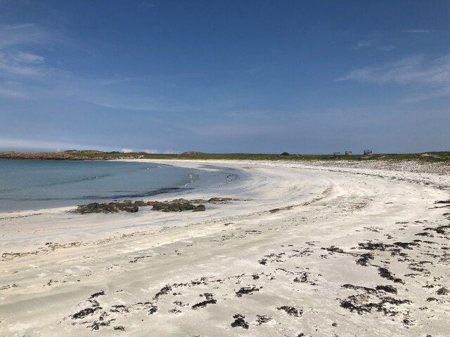
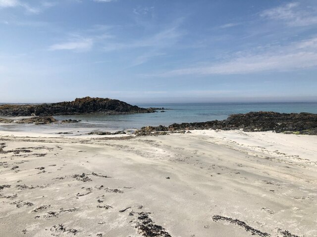
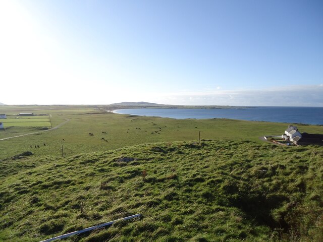
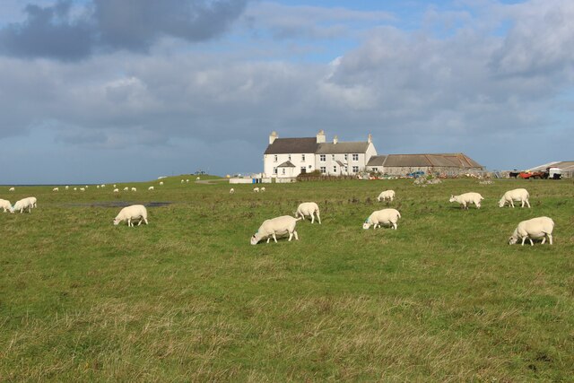
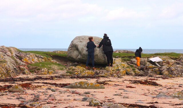
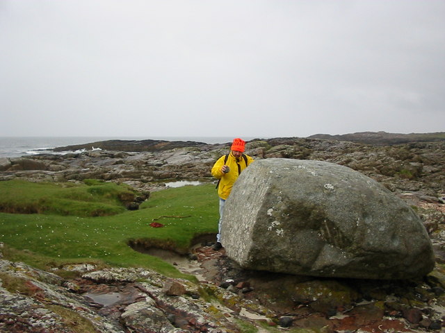
Covering an area of approximately 10 acres, Eilean nan Griogag is characterized by its rugged coastline, rocky cliffs, and lush greenery. The island is uninhabited and remains untouched by human development, making it a haven for wildlife and a popular destination for nature enthusiasts.

The island is home to a wide variety of bird species, including guillemots, razorbills, and puffins, making it an important site for birdwatching. The surrounding waters are also teeming with marine life, with seals often spotted basking on the rocks.

Eilean nan Griogag is accessible by boat and offers visitors the opportunity to explore its picturesque landscapes and enjoy outdoor activities such as hiking, fishing, and kayaking. The island provides breathtaking panoramic views of the surrounding sea and neighboring islands.

While there are no facilities or accommodations on the island, visitors can find lodging options in nearby towns on the mainland. Eilean nan Griogag is a hidden gem in Argyllshire, offering a tranquil escape for those seeking solitude and natural beauty in the Scottish wilderness.

If you have any feedback on the listing, please let us know in the comments section below.

Eilean nan Griogag Images

Images are sourced within 2km of 56.532208/-6.8574175 or Grid Reference NM0148. Thanks to Geograph Open Source API. All images are credited.

Tràigh Bheag East side of Balephetrish Bay, Tiree
Tràigh Bheag
East side of Balephetrish Bay, Tiree
Tràigh Bheag
Tràigh Bheag
From the summit of Balephetrish Hill, Tiree Central and eastern Tiree is very flat, and this hill, though only 36m high, gives an extensive view. In the distance, about 6km away, is Beinn Hough, which at only 119m is the second highest hill on Tiree.
From the summit of Balephetrish Hill, Tiree
Central and eastern Tiree is very flat, and this hill, though only 36m high, gives an extensive view. In the distance, about 6km away, is Beinn Hough, which at only 119m is the second highest hill on Tiree.
Tràigh Bheag, Balephetrish
Port Bàn, Balephetrish
Port Bàn, Balephetrish Got a telling off from the local oystercatchers, there was a lot of activity here, the isolated rock on the left in particular seemed to be a nesting site for several species. Retreat made.
Port Bàn, Balephetrish
Got a telling off from the local oystercatchers, there was a lot of activity here, the isolated rock on the left in particular seemed to be a nesting site for several species. Retreat made.
Crops harvested and baled at Balephetrish
Balephetrish, a farm on north Tiree
Rough grazing and moor at Aird Chirenis
Wet track to Cnoc Ruaidh
Barnacle geese over Tiree They may be resting en route to Galloway from Greenland via Iceland. A low flying jet has disturbed these and others.
Barnacle geese over Tiree
They may be resting en route to Galloway from Greenland via Iceland. A low flying jet has disturbed these and others.
Inspecting the Ringing Stone
Balephretish Hill Communications station for nearby RAF ROTOR radar station
Balephretish Hill
Communications station for nearby RAF ROTOR radar station
The Ringing Stone A large cup marked rock that rings when hit.
The Ringing Stone
A large cup marked rock that rings when hit.
Sandy beach of Balephetrish Bay Very little land in this square, and it's just about all beach.
Sandy beach of Balephetrish Bay
Very little land in this square, and it's just about all beach.
Balephetrish Hill A hunk of the hill was removed to make runways on the Reef during WWII.
Balephetrish Hill
A hunk of the hill was removed to make runways on the Reef during WWII.
Rubha Saltaig A very rocky section of coastline, with the rock plain steeply angled.
Rubha Saltaig
A very rocky section of coastline, with the rock plain steeply angled.
Track to Gott For most of the way to Gott the track is really excellent, especially considering it goes through some very boggy ground.
Track to Gott
For most of the way to Gott the track is really excellent, especially considering it goes through some very boggy ground.
Show me another place!

Eilean nan Griogag is located at Grid Ref: NM0148 (Lat: 56.532208, Lng: -6.8574175)

Unitary Authority: Argyll and Bute

Police Authority: Argyll and West Dunbartonshire

What 3 Words

///rainfall.shepherds.severe. Near Scarinish, Argyll & Bute

Related Wikis

Dun Mor Vaul

Dun Mor Vaul (or simply Dun Mor; Scottish Gaelic: Dùn Mòr) is an iron-age broch located on the north coast of the island of Tiree, in Scotland. ��2�...

Tiree

Tiree (; Scottish Gaelic: Tiriodh, pronounced [ˈtʲʰiɾʲəɣ]) is the most westerly island in the Inner Hebrides of Scotland. The low-lying island, southwest...

Tiree Airport

Tiree Airport (Scottish Gaelic: Port-adhair Thiriodh) (IATA: TRE, ICAO: EGPU) is located 2.5 nautical miles (4.6 km; 2.9 mi) north northeast of Balemartine...

Scarinish

Scarinish (Scottish Gaelic: Sgairinis [ˈs̪kaɾʲɪnɪʃ]) is the main village on the island of Tiree, in the Inner Hebrides of Scotland. It is located on the...

Nearby Amenities

Located within 500m of 56.532208,-6.8574175
Created By: dmgroom_coastlines
Source: PGS
Lat/Long: 56.5278/-6.8586
Created By: dmgroom_coastlines
Source: PGS
Lat/Long: 56.52808/-6.85974
Created By: dmgroom_coastlines
Source: PGS
Lat/Long: 56.52859/-6.85948
Created By: dmgroom_coastlines
Source: PGS
Lat/Long: 56.52861/-6.8604
Created By: dmgroom_coastlines
Source: PGS
Lat/Long: 56.52886/-6.86039
Created By: dmgroom_coastlines
Source: PGS
Lat/Long: 56.52898/-6.85992
Created By: dmgroom_coastlines
Source: PGS
Lat/Long: 56.52923/-6.85944
Created By: dmgroom_coastlines
Source: PGS
Lat/Long: 56.52934/-6.85851
Created By: dmgroom_coastlines
Source: PGS
Lat/Long: 56.5296/-6.85826
Created By: dmgroom_coastlines
Source: PGS
Lat/Long: 56.52984/-6.85825
Created By: dmgroom_coastlines
Source: PGS
Lat/Long: 56.52998/-6.85847
Created By: dmgroom_coastlines
Source: PGS
Lat/Long: 56.53011/-6.8587
Created By: dmgroom_coastlines
Source: PGS
Lat/Long: 56.53063/-6.85913
Created By: dmgroom_coastlines
Source: PGS
Lat/Long: 56.53115/-6.85933
Created By: dmgroom_coastlines
Source: PGS
Lat/Long: 56.53127/-6.85886
Created By: dmgroom_coastlines
Source: PGS
Lat/Long: 56.5315/-6.85746
Created By: dmgroom_coastlines
Source: PGS
Lat/Long: 56.53173/-6.85606
Created By: dmgroom_coastlines
Source: PGS
Lat/Long: 56.53197/-6.85465
Created By: dmgroom_coastlines
Source: PGS
Lat/Long: 56.53208/-6.85371
Created By: dmgroom_coastlines
Source: PGS
Lat/Long: 56.53157/-6.85375
Created By: dmgroom_coastlines
Source: PGS
Lat/Long: 56.53155/-6.85282
Created By: dmgroom_coastlines
Source: PGS
Lat/Long: 56.53181/-6.85304
Created By: dmgroom_coastlines
Source: PGS
Lat/Long: 56.53207/-6.85326
Created By: dmgroom_coastlines
Source: PGS
Lat/Long: 56.53217/-6.85232
Created By: dmgroom_coastlines
Source: PGS
Lat/Long: 56.5324/-6.84999
The data included in this document is from www.openstreetmap.org. The data is made available under ODbL.

Have you been to Eilean nan Griogag?

Leave your review of Eilean nan Griogag below (or comments, questions and feedback).