Leumadair Mòr

Island in Ross-shire

Scotland

Leumadair Mòr

Slipway and winch at Camas Mol Linnis The slipway is very steep and the winch must have made all the difference.
Slipway and winch at Camas Mol Linnis Credit: Sandy Gerrard

Leumadair Mòr is a small island located off the coast of Ross-shire in the Scottish Highlands. This uninhabited island is part of a group of islands known as the Summer Isles, situated in the mouth of Loch Broom.

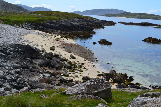
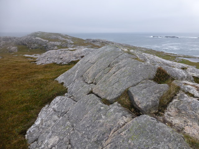
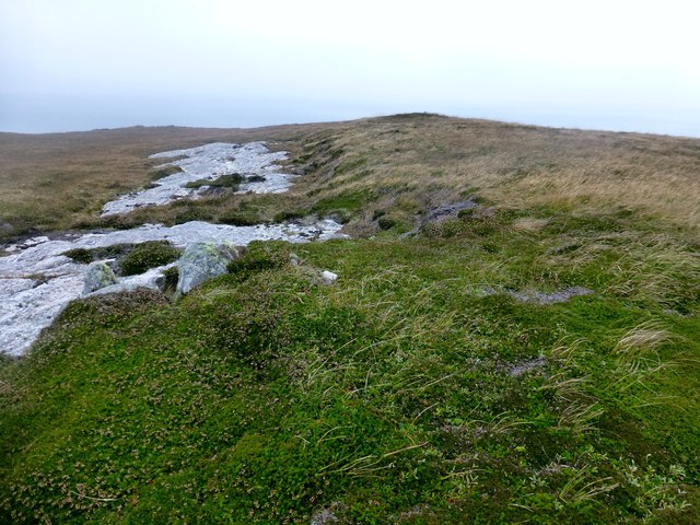
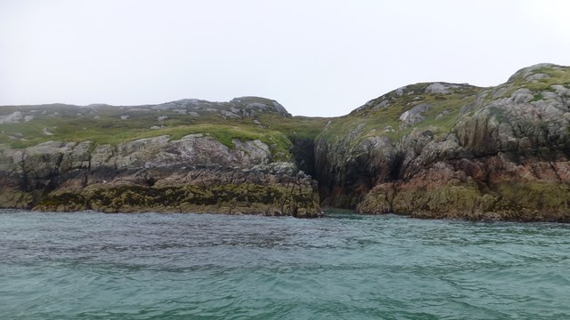
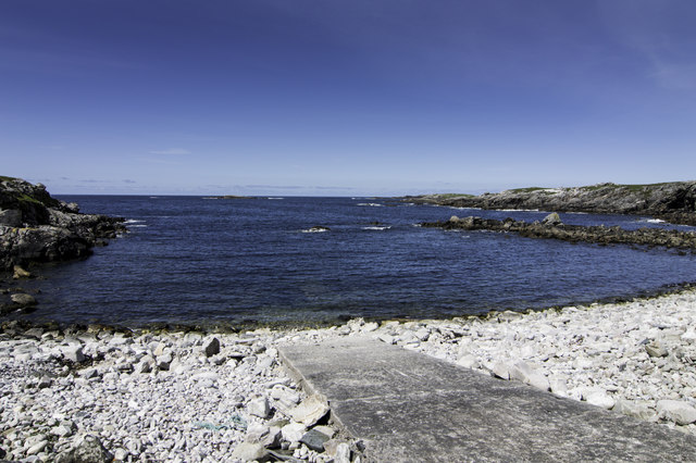
Covering an area of approximately 6 hectares, Leumadair Mòr is characterized by its rugged and rocky terrain. The island is mostly composed of cliffs and steep slopes, with a few small beaches and rocky outcrops scattered along its coastline. Its highest point reaches around 60 meters above sea level.

The vegetation on Leumadair Mòr consists mainly of grasses, heather, and shrubs, with some scattered trees. The island is home to a variety of bird species, including gulls, terns, and wading birds that nest on its cliffs. Seals and otters can also be spotted in the surrounding waters.

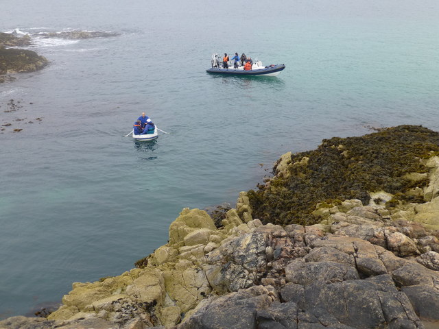
Access to Leumadair Mòr is limited, as there are no regular boat services to the island. However, it can be reached by private boat or kayak from nearby mainland areas. The island offers stunning views of the surrounding landscape, including the picturesque Summer Isles and the mountainous coastline of Ross-shire.

Leumadair Mòr is a popular destination for nature enthusiasts and birdwatchers, who come to explore its rugged beauty and observe the diverse wildlife. Its isolation and tranquility make it a perfect spot for those seeking a peaceful retreat in the midst of Scotland's breathtaking scenery.

If you have any feedback on the listing, please let us know in the comments section below.

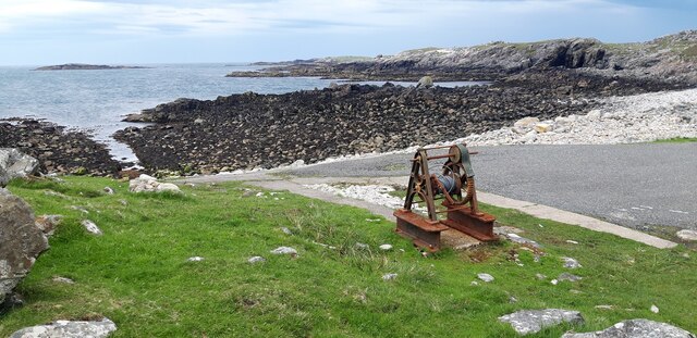
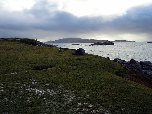
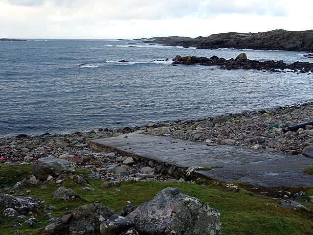
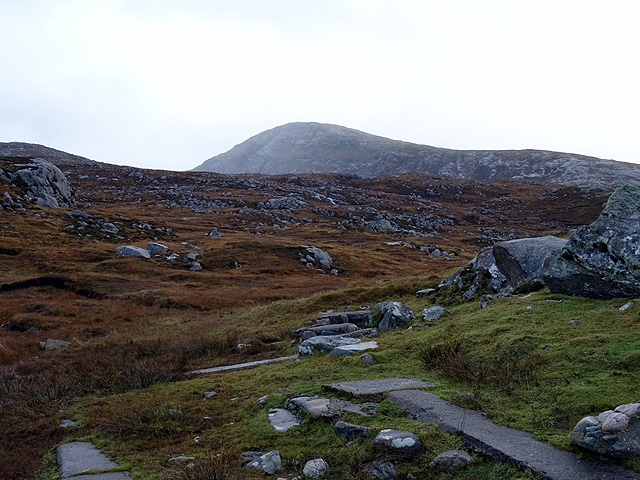
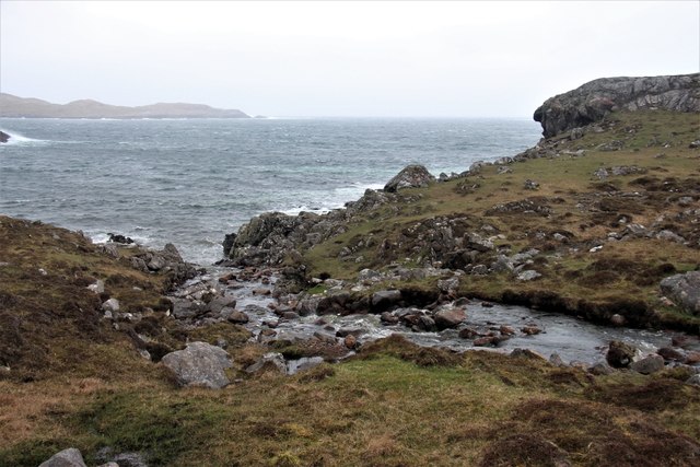
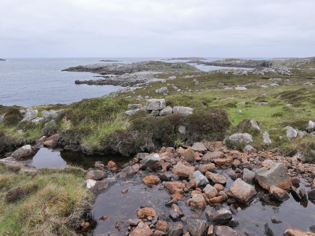
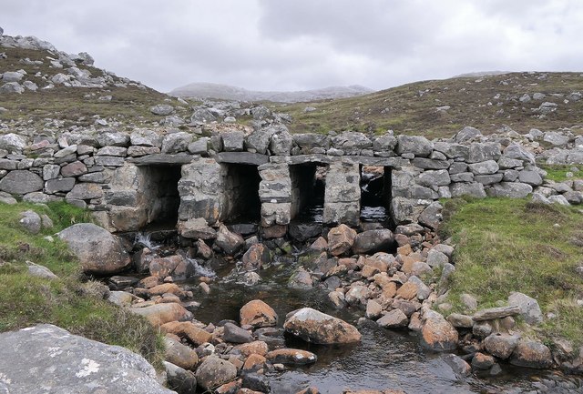
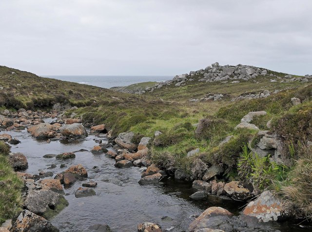
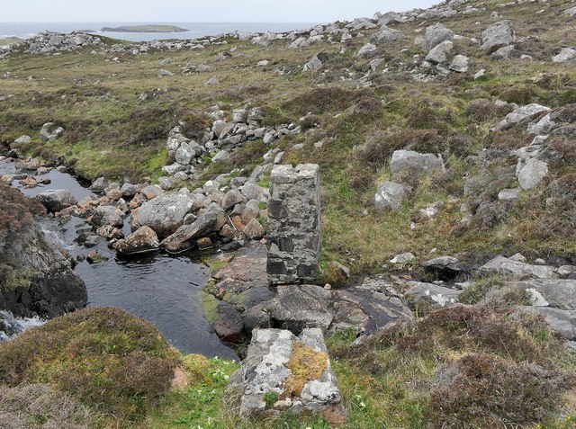
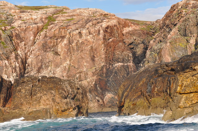
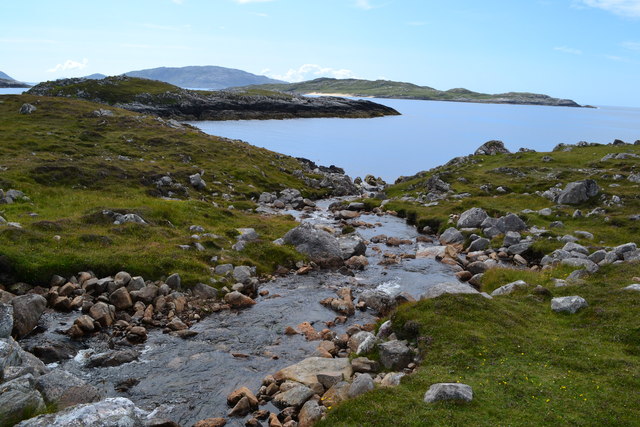
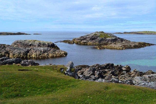
Leumadair Mòr Images

Images are sourced within 2km of 58.086994/-7.1256073 or Grid Reference NA9822. Thanks to Geograph Open Source API. All images are credited.

Slipway and winch at Camas Mol Linnis The slipway is very steep and the winch must have made all the difference.
Slipway and winch at Camas Mol Linnis
The slipway is very steep and the winch must have made all the difference.
Looking south from Mealasta The larger island in the middle distance is Eileen Mhealasta. Beyond that is Scarp.
Looking south from Mealasta
The larger island in the middle distance is Eileen Mhealasta. Beyond that is Scarp.
The end of the road from Uig The road on the west side of Lewis ends at this remote jetty with a view out over Camas Mol Linnis. The map carries a name Totarol nearby but I'm unable to establish to what that refers.
The end of the road from Uig
The road on the west side of Lewis ends at this remote jetty with a view out over Camas Mol Linnis. The map carries a name Totarol nearby but I'm unable to establish to what that refers.
At the end of the road south of Mealasta Remains of concrete structures suggest busier times here in the past at this very remote location. The distant peak appears to be Naideabhal a Staigh <a href="https://www.geograph.org.uk/gridref/NB012235">NB012235</a>.
At the end of the road south of Mealasta
Remains of concrete structures suggest busier times here in the past at this very remote location. The distant peak appears to be Naideabhal a Staigh NB012235.
Allt Hatasaidh reaching the Atlantic
Site of horizontal mill on the Abhainn Ruadh, Isle of Lewis The pile of stone blocks in the centre of the photo on the other side of the stream are remains of the mill.  It is shown as a ruin on the 1st Edition OS map surveyed in 1852-53.
Site of horizontal mill on the Abhainn Ruadh, Isle of Lewis
The pile of stone blocks in the centre of the photo on the other side of the stream are remains of the mill. It is shown as a ruin on the 1st Edition OS map surveyed in 1852-53.
Clapper bridge near Camus Mol Linnis, Isle of Lewis The two hills in the centre of the horizon are Laibheal a Tuath and Lasibheal a Deas.

The bridge carries the road to Camus Mol Linnis over the Abhainn Hotaroil.
Clapper bridge near Camus Mol Linnis, Isle of Lewis
The two hills in the centre of the horizon are Laibheal a Tuath and Lasibheal a Deas. The bridge carries the road to Camus Mol Linnis over the Abhainn Hotaroil.
Site of a horizontal mill on the Abhainn Hotaroil, Isle of Lewis What remains of the mill is on the right and there is a millstone half in the water on the left.
Site of a horizontal mill on the Abhainn Hotaroil, Isle of Lewis
What remains of the mill is on the right and there is a millstone half in the water on the left.
Former pipeline crossing the Abhainn Hotaroil, Isle of Lewis The pillar in the burn has 1942 inscribed on it which, along with the general direction of the pipeline, makes me think that this might have been the water supply for <a href="https://www.geograph.org.uk/photo/13700">NA9924 : Brenish WWII Chain Home radar station</a>, the construction of which was completed in 1942. 

The remains of a horizontal mill can be seen beyond the top left of the pillar.
Former pipeline crossing the Abhainn Hotaroil, Isle of Lewis
The pillar in the burn has 1942 inscribed on it which, along with the general direction of the pipeline, makes me think that this might have been the water supply for NA9924 : Brenish WWII Chain Home radar station, the construction of which was completed in 1942. The remains of a horizontal mill can be seen beyond the top left of the pillar.
Ban Beag A distinctive cleft in the rock at Ban Beag on Mealista Island
Ban Beag
A distinctive cleft in the rock at Ban Beag on Mealista Island
Stream flowing into Camas Mol Linnis
Rocky islets off Buaile Fainis
Small beach at Mol Tiacanais
Eilean Mhealasta Landing on the island of Eilean Mhealasta towards the end of a busy day bagging hills around Loch Resort by RIB. This landing point is just north of a lovely sandy beach.
Eilean Mhealasta
Landing on the island of Eilean Mhealasta towards the end of a busy day bagging hills around Loch Resort by RIB. This landing point is just north of a lovely sandy beach.
Eilean Mhealasta Coastal view on the north end of Eilean Mhealasta.
Eilean Mhealasta
Coastal view on the north end of Eilean Mhealasta.
Druim na Sgatha Bagging the high point of Eilean Mealasta by RIB with eight other island baggers.
Name: Druim na Sgatha
Hill number: 104561
Height: 77m / 253ft
Area: 24A: Lewis and Nearby Islands
Class: 0
Grid ref: NA977212 (est)
Drop: 77m
Col: Sea
Druim na Sgatha
Bagging the high point of Eilean Mealasta by RIB with eight other island baggers. Name: Druim na Sgatha Hill number: 104561 Height: 77m / 253ft Area: 24A: Lewis and Nearby Islands Class: 0 Grid ref: NA977212 (est) Drop: 77m Col: Sea
Eastern Coast Of Eilean Mealasta A rocky inlet on the eastern side of the island of Eilean Mealasta to the west of Lewis.
Eastern Coast Of Eilean Mealasta
A rocky inlet on the eastern side of the island of Eilean Mealasta to the west of Lewis.
Slip into Camas Mol Linis
Show me another place!

Leumadair Mòr is located at Grid Ref: NA9822 (Lat: 58.086994, Lng: -7.1256073)

Unitary Authority: Na h-Eileanan an Iar

Police Authority: Highlands and Islands

What 3 Words

///essays.plantings.rescue. Near Tarbert, Na h-Eileanan Siar

Related Wikis

Eilean Mhealasta

Eilean Mhealasta (Mealista Island) is an uninhabited island off the west coast of Lewis in the Outer Hebrides of Scotland. It takes its name from Mealista...

Mealista

Mealista (Scottish Gaelic: Mealasta) was a township in the west of the Isle of Lewis. It is currently largely uninhabited due to the Highland Clearances...

Game pieces of the Lewis chessmen hoard

Game pieces of the Lewis chessmen hoard include the ninety-three game pieces of the Lewis chessmen hoard found on the Isle of Lewis in the Outer Hebrides...

Brenish

Brenish (Scottish Gaelic: Brèinis) is a small village situated on the west coast of the Isle of Lewis, which is part of the Outer Hebrides of Scotland...

Have you been to Leumadair Mòr?

Leave your review of Leumadair Mòr below (or comments, questions and feedback).