Linwood

Settlement in Renfrewshire

Scotland

Linwood

Linwood: Junction between A761 and A737
Linwood: Junction between A761 and A737 Credit: G McK

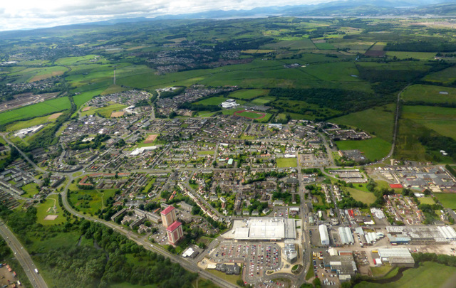
Linwood is a small town located in the council area of Renfrewshire, Scotland. Situated approximately 13 miles west of Glasgow, it is part of the Greater Glasgow conurbation. With a population of around 11,000 residents, Linwood is a vibrant community with a mix of residential, commercial, and industrial areas.

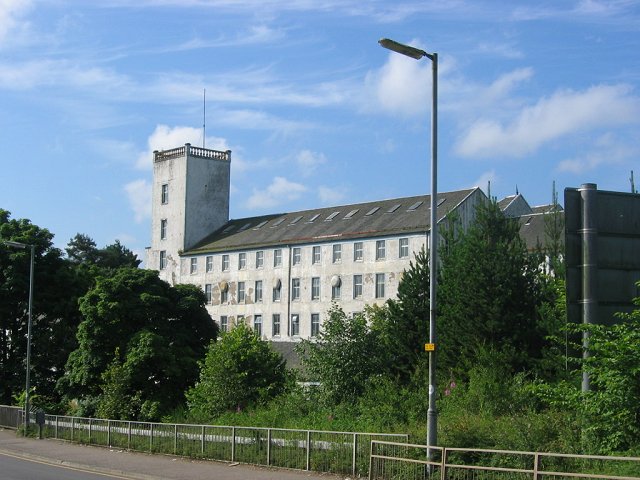
Historically, Linwood was known as a center for the textile industry, with several large mills operating in the town during the 19th and 20th centuries. However, the decline of the industry in the 1980s resulted in the closure of these mills and the loss of many jobs. In recent years, efforts have been made to revitalize the local economy, with new retail parks and business centers being developed.

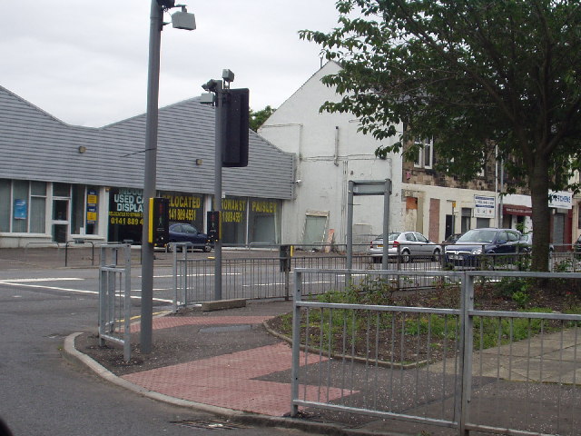
Linwood offers a range of amenities and services to its residents. The town has several primary schools and a secondary school, providing education for local children. There are also various shopping facilities, including a large supermarket and a retail park, offering a variety of stores and restaurants.

For leisure and recreation, Linwood has a community center that hosts various activities and events, as well as a sports center with a swimming pool and gym facilities. The town is also surrounded by green spaces, such as Linwood Moss, providing opportunities for outdoor activities and walks.

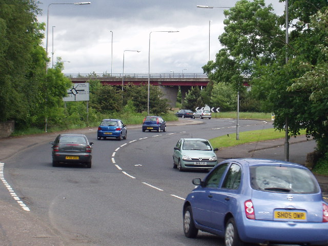
Transport links in Linwood are excellent, with easy access to the M8 motorway and regular bus services connecting the town to surrounding areas. The nearby Johnstone railway station also provides convenient rail connections to Glasgow and other destinations.

In summary, Linwood is a small town in Renfrewshire, Scotland, with a rich industrial history and a resilient community. It offers a range of amenities, good transport links, and opportunities for leisure and recreation.

If you have any feedback on the listing, please let us know in the comments section below.
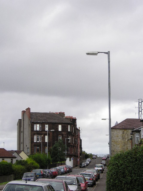
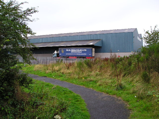
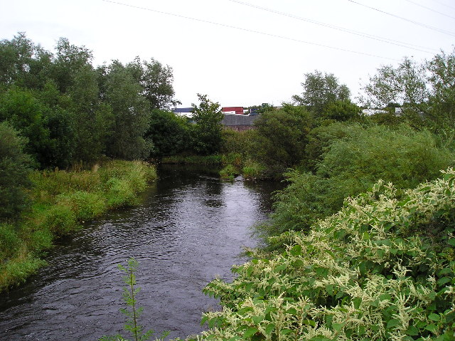
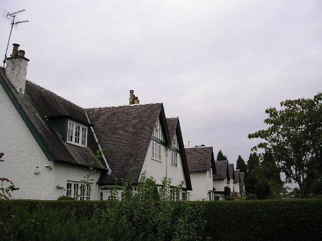
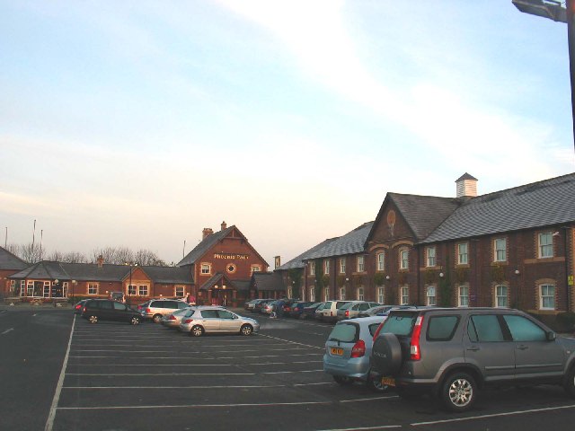
Linwood Images

Images are sourced within 2km of 55.848473/-4.5047303 or Grid Reference NS4364. Thanks to Geograph Open Source API. All images are credited.

Linwood: Junction between A761 and A737
East Fulton Primary School, Linwood The car park and nursery building are in the foreground.
East Fulton Primary School, Linwood
The car park and nursery building are in the foreground.
Elderslie
Elderslie
Paton's Mill,  Johnstone Looking a bit tatty in 2005, and a lot more tatty in 2009. By 2009 the building was badly vandalised and losing its roof.
Paton's Mill, Johnstone
Looking a bit tatty in 2005, and a lot more tatty in 2009. By 2009 the building was badly vandalised and losing its roof.
Nip Inn, Johnstone A friendly wee pub
Nip Inn, Johnstone
A friendly wee pub
Tenement Red sandstone tenement building viewed from Overton Rd Johnstone.
Tenement
Red sandstone tenement building viewed from Overton Rd Johnstone.
Transport Depot W H Malcolm ltd, recently taken back into local family ownership after 45 years as a public co.
Picture taken from the Linwood link cycle path.
Transport Depot
W H Malcolm ltd, recently taken back into local family ownership after 45 years as a public co. Picture taken from the Linwood link cycle path.
Black Cart Water The Black Cart Water rises in Castle Semple Loch before joining the White Cart Water north of Paisley before joining the River Clyde.
Black Cart Water
The Black Cart Water rises in Castle Semple Loch before joining the White Cart Water north of Paisley before joining the River Clyde.
Linwood In the late 18th century Linwood was a small village engaged in cotton milling, however in the
1960's Rootes Car Factory opened nearby and Linwood grew rapidly to house the 1000's of workers employed.
Linwood
In the late 18th century Linwood was a small village engaged in cotton milling, however in the 1960's Rootes Car Factory opened nearby and Linwood grew rapidly to house the 1000's of workers employed.
Recreation Ground Recreation area adjacent to Linwood Sports Centre.
Recreation Ground
Recreation area adjacent to Linwood Sports Centre.
Linwood Moss A poorly drained area of glaciomarine clays, said to have been cleared of trees by the romans
to avoid the woodlands being used as a hiding place.
Linwood Moss
A poorly drained area of glaciomarine clays, said to have been cleared of trees by the romans to avoid the woodlands being used as a hiding place.
Linwoodmoss Wood The moss is an area of poorly drained glaciomarine clays. This area of woodland appears unchanged in size or area on the 1940's OS Map, although recently community woodlands have been planted to the south.
Linwoodmoss Wood
The moss is an area of poorly drained glaciomarine clays. This area of woodland appears unchanged in size or area on the 1940's OS Map, although recently community woodlands have been planted to the south.
Track to Moss Cottage Track on Linwood moss leading to Moss Cottage.
Track to Moss Cottage
Track on Linwood moss leading to Moss Cottage.
Rising Ground Small hill Spot Height 24mtr to the west of Linwood Moss.
Rising Ground
Small hill Spot Height 24mtr to the west of Linwood Moss.
Linwoodmoss Wood Woodland area at the western edge of Linwoodmoss.
Linwoodmoss Wood
Woodland area at the western edge of Linwoodmoss.
Black & White Brookfield Village houses Renfrewshire.
Black & White
Brookfield Village houses Renfrewshire.
Green Triangle Wallace Avenue Elderslie, the monument to William Wallace is situated at the bottom of the avenue. Elderslie is reputed to be the birthplace of William Wallace.
Green Triangle
Wallace Avenue Elderslie, the monument to William Wallace is situated at the bottom of the avenue. Elderslie is reputed to be the birthplace of William Wallace.
Travel Inn, Phoenix Park by Paisley. Travel inn and restaurant just off the A737 near to Paisley, Glasgow.
Travel Inn, Phoenix Park by Paisley.
Travel inn and restaurant just off the A737 near to Paisley, Glasgow.
Show me another place!

Linwood is located at Grid Ref: NS4364 (Lat: 55.848473, Lng: -4.5047303)

Unitary Authority: Renfrewshire

Police Authority: Renfrewshire and Inverclyde

What 3 Words

///matchbox.hobby.cucumber. Near Linwood, Renfrewshire

Nearby Locations

Linwood

Related Wikis

Linwood, Renfrewshire

Linwood (Scots: Linwuid) is a small town in Renfrewshire in the west central Lowlands of Scotland, 14 miles (23 kilometres) west of Glasgow. It is about...

Linwood High School

Linwood High School is a non-denominational comprehensive state secondary school in Linwood, Renfrewshire, Scotland. The original school building was constructed...

St. Benedict's High School

St Benedict's High School is a Catholic high school in Linwood, Renfrewshire, in the west of Scotland. == The school == St Benedict's High School was formed...

Johnstone North railway station

Johnstone North railway station was a railway station serving the town of Johnstone, Renfrewshire, Scotland as part of the Dalry and North Johnstone Line...

Nearby Amenities

Located within 500m of 55.848473,-4.5047303
Power: tower
Lat/Long: 55.8455051/-4.5056023
Power: tower
Lat/Long: 55.8454251/-4.5067599
Turning Circle
Noexit: yes
Lat/Long: 55.8448546/-4.506282
Sun Foundry
Historic: yes
Lat/Long: 55.8505308/-4.4988628
Power: tower
Lat/Long: 55.8458987/-4.5087681
Power: tower
Lat/Long: 55.8444228/-4.5016027
Crossing
Crossing: traffic_signals
Crossing Island: no
Tactile Paving: yes
Lat/Long: 55.8490322/-4.5053774
Bus Stop
Watson Avenue
Bus: yes
Naptan AtcoCode: 6140808
Naptan NaptanCode: 73923483
Public Transport: platform
Lat/Long: 55.8475136/-4.4980477
Bus Stop
Shaw Place
Bus: yes
Naptan AtcoCode: 6140809
Naptan NaptanCode: 73924354
Public Transport: platform
Lat/Long: 55.8471799/-4.4984361
Bus Stop
Abernethy Drive
Bus: yes
Naptan AtcoCode: 6140810
Naptan NaptanCode: 73924895
Public Transport: platform
Lat/Long: 55.846174/-4.5005261
Bus Stop
Clippens Roundabout
Bus: yes
Naptan AtcoCode: 6140843
Naptan NaptanCode: 73924983
Public Transport: platform
Lat/Long: 55.84515/-4.5021011
Bus Stop
Fulwood Avenue
Bus: yes
Naptan AtcoCode: 6140811
Naptan NaptanCode: 73923763
Public Transport: platform
Lat/Long: 55.8495506/-4.4970821
Bus Stop
Fulwood Avenue
Bus: yes
Naptan AtcoCode: 61401158
Naptan NaptanCode: 73926825
Public Transport: platform
Lat/Long: 55.8494915/-4.4972152
Bus Stop
Montclair Place
Bus: yes
Public Transport: platform
Lat/Long: 55.8496409/-4.5013458
Bus Stop
Montclair Place
Bus: yes
Naptan AtcoCode: 61401159
Naptan NaptanCode: 73926826
Public Transport: platform
Lat/Long: 55.8496674/-4.5007106
Bus Stop
Carradale Place
Bus: yes
Naptan AtcoCode: 6140819
Naptan NaptanCode: 73924765
Public Transport: platform
Lat/Long: 55.8488603/-4.5034872
Bus Stop
Carradale Place
Bus: yes
Naptan AtcoCode: 6140820
Naptan NaptanCode: 73923762
Public Transport: platform
Lat/Long: 55.8490904/-4.503086
Bus Stop
Erskinefauld Road
Bus: yes
Naptan AtcoCode: 6140829
Naptan NaptanCode: 73923974
Public Transport: platform
Lat/Long: 55.8486893/-4.5051695
Bus Stop
Stirling Drive
Bus: yes
Public Transport: platform
Lat/Long: 55.847422/-4.5035237
Bus Stop
Cowal Drive
Bus: yes
Naptan AtcoCode: 6140827
Naptan NaptanCode: 73923452
Public Transport: platform
Lat/Long: 55.8463909/-4.5024058
Bus Stop
Brediland Road
Bus: yes
Naptan AtcoCode: 6140830
Naptan NaptanCode: 73924725
Public Transport: platform
Lat/Long: 55.849818/-4.5062896
Bus Stop
Weeple Drive
Bus: yes
Naptan AtcoCode: 6140841
Naptan NaptanCode: 73925397
Public Transport: platform
Lat/Long: 55.84983/-4.5084032
Bus Stop
Lismore Place
Bus: yes
Naptan AtcoCode: 6140839
Naptan NaptanCode: 73924579
Public Transport: platform
Lat/Long: 55.8480099/-4.5106734
Bus Stop
Craig Road
Bus: yes
Naptan AtcoCode: 6140832
Naptan NaptanCode: 73924623
Public Transport: platform
Lat/Long: 55.8509177/-4.5102121
Bus Stop
Craig Road
Bus: yes
Naptan AtcoCode: 6140831
Naptan NaptanCode: 73924926
Public Transport: platform
Lat/Long: 55.8506443/-4.5097786
The data included in this document is from www.openstreetmap.org. The data is made available under ODbL.

Have you been to Linwood?

Leave your review of Linwood below (or comments, questions and feedback).