Northwethel

Island in Cornwall

England

Northwethel

Plum Island Tresco View Across New Grimsby Harbour to Plum island  with the island of Bryher in the background and King Henry's Castle on the extreme right.
Plum Island Tresco Credit: Nigel Mykura

Northwethel is a small island located off the coast of Cornwall, England. It lies in the Celtic Sea, approximately 20 kilometers southwest of Land's End. With a total land area of around 5 square kilometers, it is one of the smaller islands in the region.

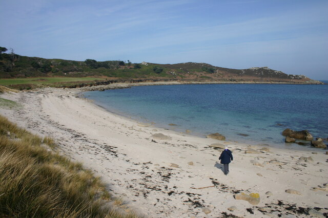
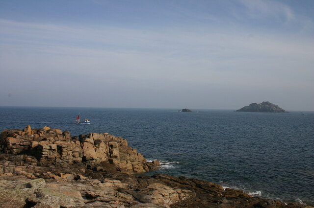
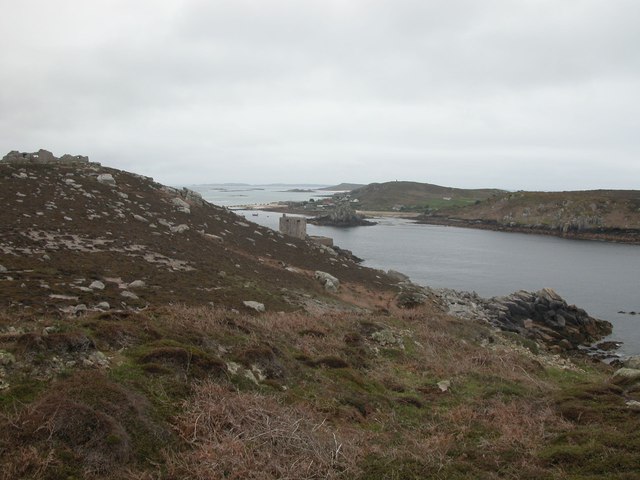
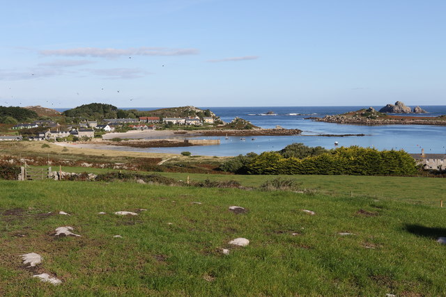
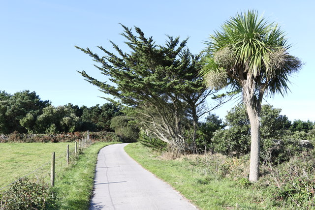
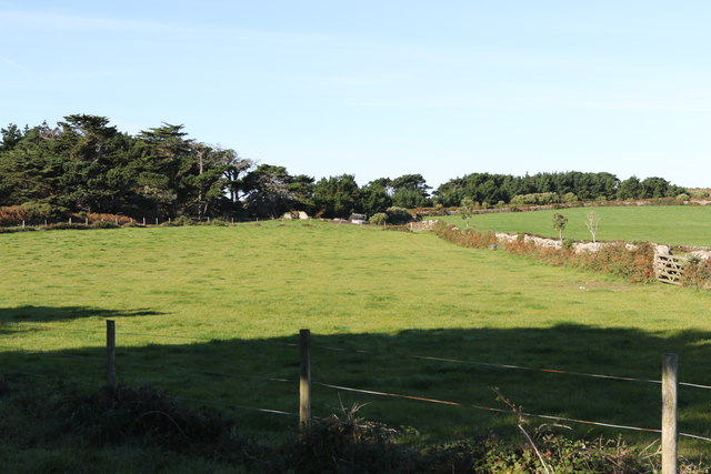
The island is characterized by its rugged and dramatic coastal landscape. Steep cliffs, rocky shores, and secluded coves are prominent features of Northwethel's shoreline. The interior of the island is mainly hilly, with some areas reaching an elevation of around 100 meters above sea level. These hills are covered in a patchwork of fields and moorland, creating a picturesque and scenic environment.

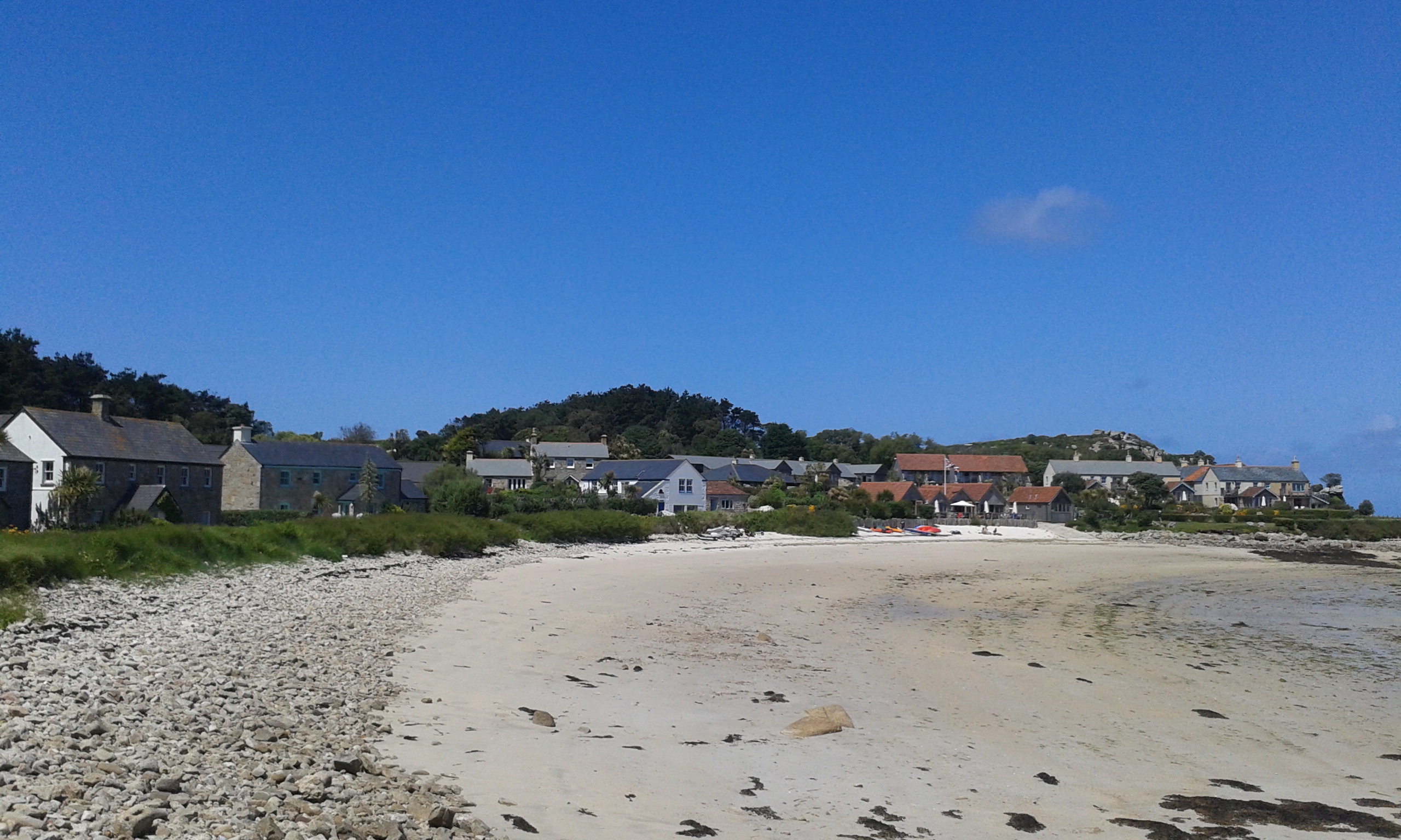
Northwethel has a small population of around 200 residents, who mainly rely on fishing and tourism for their livelihoods. The island's economy is centered around its picturesque beauty and its rich marine life, attracting visitors who enjoy outdoor activities such as hiking, birdwatching, and fishing.

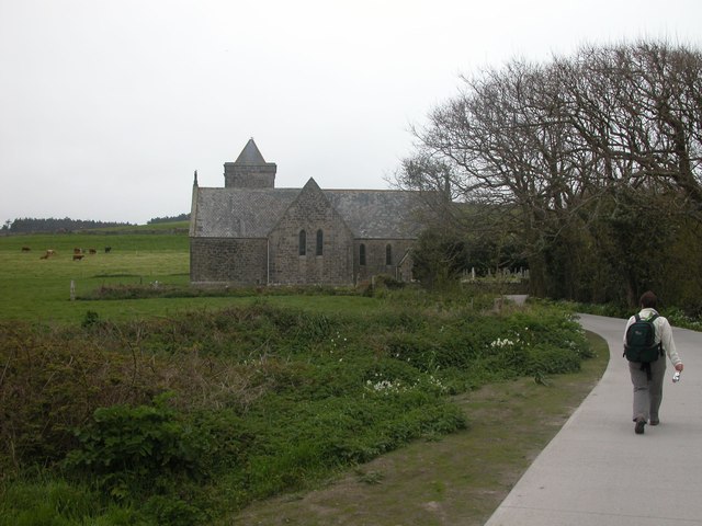
Despite its small size, Northwethel offers a range of amenities to its residents and tourists. There are a few cozy guesthouses and bed and breakfasts that provide accommodation, as well as a handful of shops and restaurants serving local produce and seafood.

Access to Northwethel is primarily by boat, with regular ferry services operating from the mainland. The island's isolation and unspoiled natural beauty make it a hidden gem for those seeking tranquility and a connection with nature.

If you have any feedback on the listing, please let us know in the comments section below.
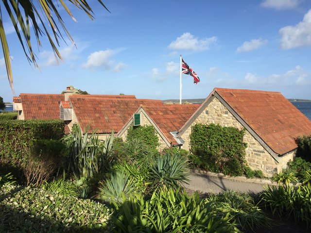
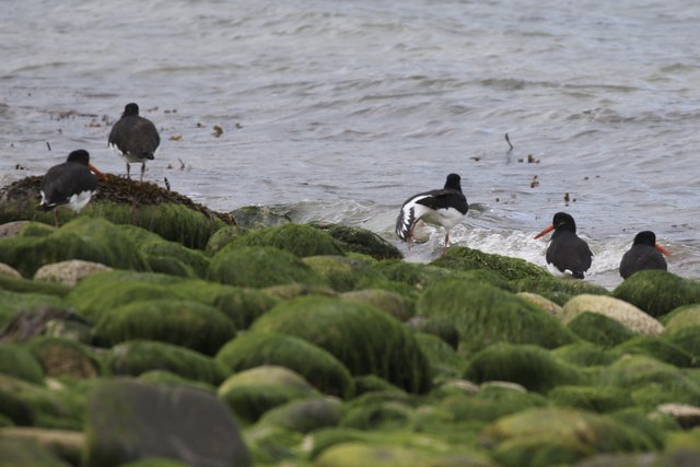
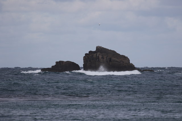
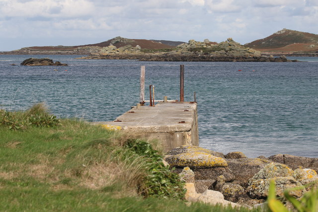
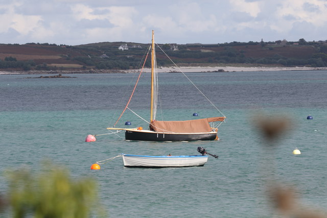
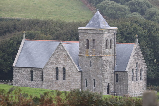
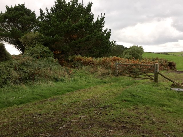
Northwethel Images

Images are sourced within 2km of 49.966837/-6.3314239 or Grid Reference SV8916. Thanks to Geograph Open Source API. All images are credited.

Plum Island Tresco View Across New Grimsby Harbour to Plum island  with the island of Bryher in the background and King Henry's Castle on the extreme right.
Plum Island Tresco
View Across New Grimsby Harbour to Plum island with the island of Bryher in the background and King Henry's Castle on the extreme right.
Gimble Porth This is just one of Tresco's many wonderful beaches.
Gimble Porth
This is just one of Tresco's many wonderful beaches.
A boat off the north of Tresco Taken in 2005 but only just being submitted, so I hope I have the view direction correct. Tresco is a wonderful peaceful island at any time of the year, but especially in Spring.
A boat off the north of Tresco
Taken in 2005 but only just being submitted, so I hope I have the view direction correct. Tresco is a wonderful peaceful island at any time of the year, but especially in Spring.
Lower Town Quay The smaller of the two quays on St Martin’s. The larger quay at Higher Town is the one used for freight deliveries, but is inaccessible at a low tide.

The island behind is the uninhabited Tean (pronounced tea-an).
Lower Town Quay
The smaller of the two quays on St Martin’s. The larger quay at Higher Town is the one used for freight deliveries, but is inaccessible at a low tide. The island behind is the uninhabited Tean (pronounced tea-an).
Shore , North Tresco Taken during a walk around northern part of Tresco
Shore , North Tresco
Taken during a walk around northern part of Tresco
Church , Tresco Taken during walk round north of Island
Church , Tresco
Taken during walk round north of Island
Clearing the bracken Near the Blockhouse, Tresco
Clearing the bracken
Near the Blockhouse, Tresco
The Ruin Inn A cafe and restaurant in Old Grimsby, Tresco
The Ruin Inn
A cafe and restaurant in Old Grimsby, Tresco
Oystercatchers in Gimble Porth On Tresco
Oystercatchers in Gimble Porth
On Tresco
Golden Ball From Tresco
Golden Ball
From Tresco
Old Grimsby Quay Looking towards Foreman's Island
Old Grimsby Quay
Looking towards Foreman's Island
Moored up in Green Porth In Old Grimsby Harbour
Moored up in Green Porth
In Old Grimsby Harbour
Rainbow between Tresco and Bryher Looking north towards Plumb Island
Rainbow between Tresco and Bryher
Looking north towards Plumb Island
St Nicholas' Church, Tresco From the south
St Nicholas' Church, Tresco
From the south
Gate to the fields On the hill above Old Grimsby
Gate to the fields
On the hill above Old Grimsby
Field above Old Grimsby harbour Looking towards the Sea Garden Cottages development.
Field above Old Grimsby harbour
Looking towards the Sea Garden Cottages development.
Wind shaped trees Above Old Grimsby harbour
Wind shaped trees
Above Old Grimsby harbour
Fields above Old Grimsby harbour Part of Borough Farm
Fields above Old Grimsby harbour
Part of Borough Farm
Show me another place!

Northwethel is located at Grid Ref: SV8916 (Lat: 49.966837, Lng: -6.3314239)

Division: Isles of Scilly

Unitary Authority: Isles of Scilly

Police Authority: Devon and Cornwall

What 3 Words

///boats.manicured.intent. Near Tresco, Isles of Scilly

Related Wikis

Old Grimsby

Old Grimsby (Cornish: Enysgrymm Goth) is a coastal settlement on the island of Tresco in the Isles of Scilly, England. It is located on the east side of...

St Helen's, Isles of Scilly

St Helen's (Cornish: Enys Elyd or Enys Elidius) is one of the fifty or so uninhabited islands in the archipelago of the Isles of Scilly and has an approximate...

Piper's Hole

Piper's Hole is a sea cave located on Tresco, an island of the Isles of Scilly. The name Piper's Hole can also refer to another, more minor, sea cave in...

Old Blockhouse

The Old Blockhouse, also known as the Dover Fort, is a 16th-century fortification on the island of Tresco in the Isles of Scilly. It was built between...

Nearby Amenities

Located within 500m of 49.966837,-6.3314239
St Helen's Pool
Natural: bay
Lat/Long: 49.9676913/-6.3256771
Northwethal
Place: island
Lat/Long: 49.9662467/-6.3311646
Merchant's Point
Place: locality
Lat/Long: 49.9638581/-6.3347667
Natural: peak
Lat/Long: 49.9659281/-6.3320243
Coal Porth
Natural: bay
Lat/Long: 49.967081/-6.3314463
Crow's Island
Place: islet
Lat/Long: 49.9640997/-6.3268866
The data included in this document is from www.openstreetmap.org. The data is made available under ODbL.

Have you been to Northwethel?

Leave your review of Northwethel below (or comments, questions and feedback).